Plizio Visual Lab
Bahr al-Jabal
Weather…
Water temperature…
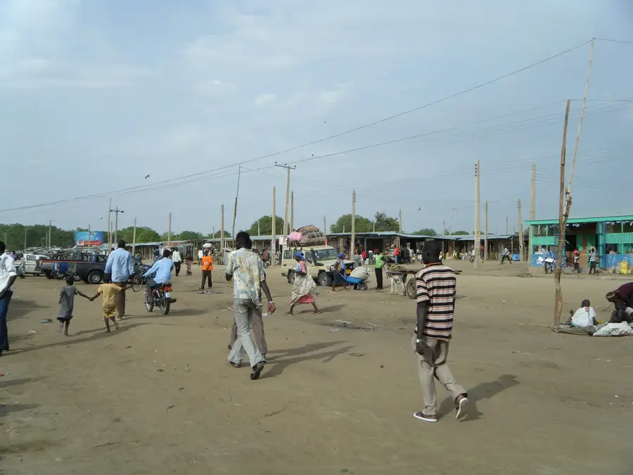
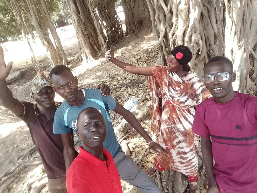
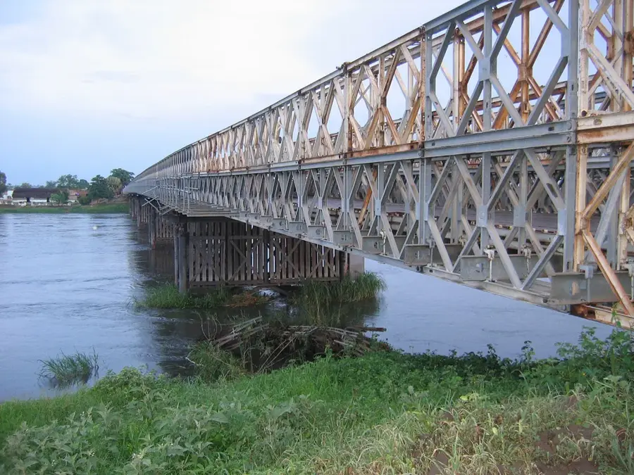
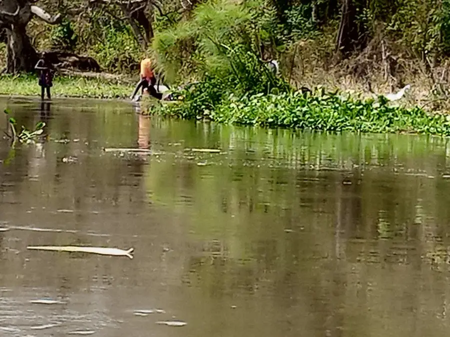
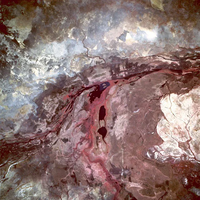
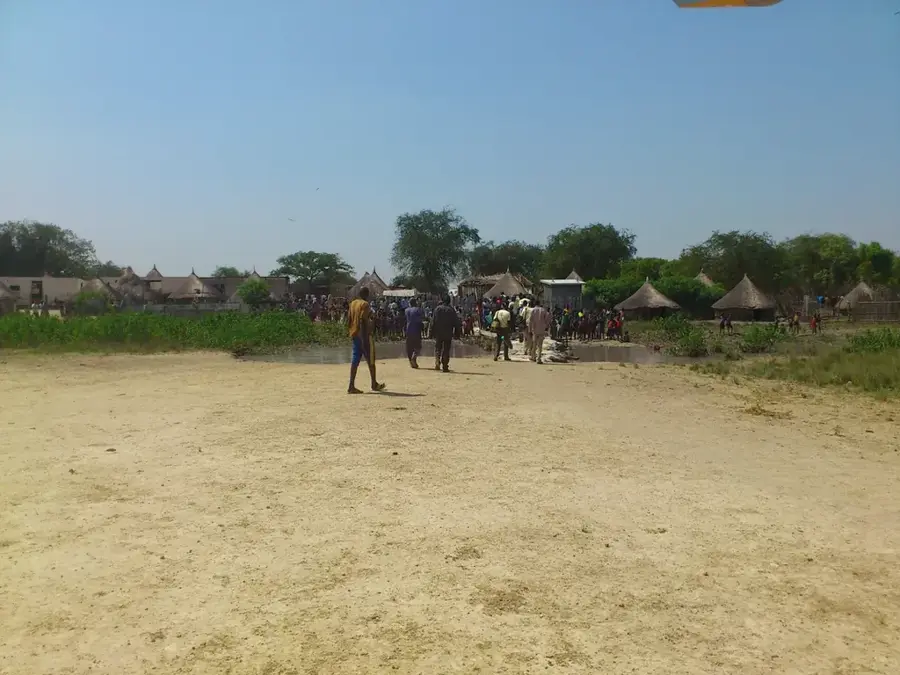
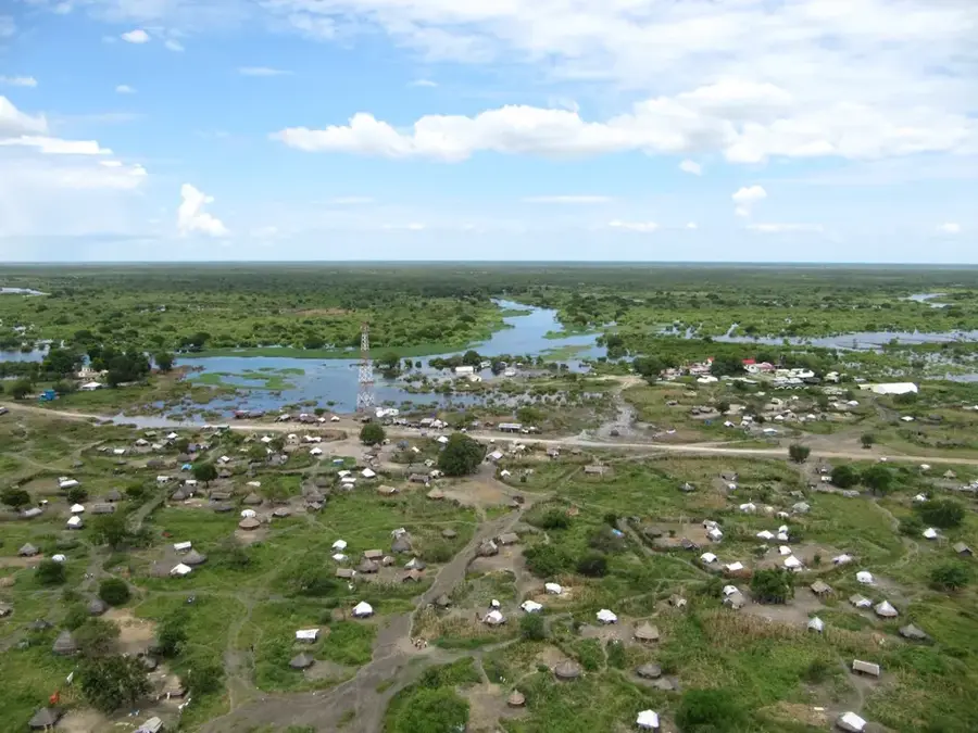
Bahr al-Jabal, which translates to 'Mountain River,' is the central section of the White Nile in South Sudan, extending from Nimule on the Ugandan border to Lake No in the north. This river segment is of immense geographical and ecological importance as it transitions from the rocky Nimule gorge into the vast Sudd wetland. Upon entering the Sudd, the river loses nearly half of its water volume due to intense evaporation and seepage as it splits into a complex labyrinth of channels, lakes, and lagoons. The riverbanks are lined with dense papyrus stands that provide a unique sanctuary for the endangered Shoebill stork and other rare species. Historically, the Bahr al-Jabal was a notorious barrier to navigation and the search for the Nile's source due to shifting channels and the formation of massive floating vegetation mats known as sudd. Today, the river remains the lifeblood for millions of pastoralists and fishers whose livelihoods depend on its seasonal cycles. The management of its flow continues to be a central geopolitical issue in water-sharing agreements among Nile Basin nations.
- Location: South Sudan
- Nearby: Terekeka (59 km)
Best time to visit & climate
The most pleasant time to visit is Jan, Nov, Dec.
| Jan | Feb | Mar | Apr | May | Jun | Jul | Aug | Sep | Oct | Nov | Dec | |
|---|---|---|---|---|---|---|---|---|---|---|---|---|
| Avg °C | 30 | 32 | 33 | 31 | 29 | 27 | 26 | 26 | 27 | 28 | 28 | 30 |
| Rain mm | 2 | 3 | 17 | 50 | 138 | 117 | 120 | 138 | 115 | 95 | 32 | 17 |
📋 Practical info
Geography
Facts
- The Bahr al-Jabal flows for roughly 850 kilometers within South Sudan.
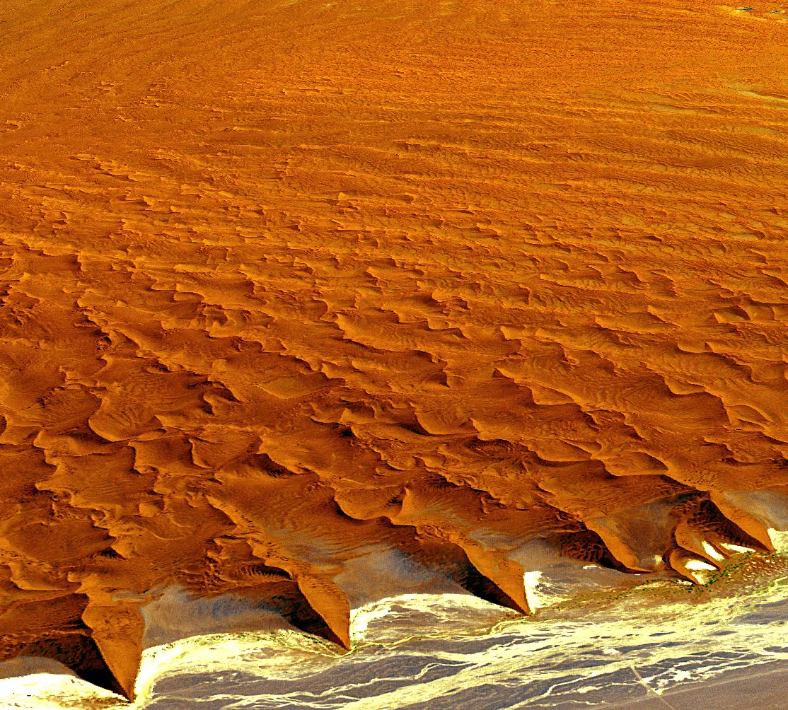
- It loses approximately 50% of its discharge to evaporation within the Sudd.
- The river flows directly through the national capital city of Juba.
- Floating vegetation 'sudd' blocks were a major hazard for 19th-century steamers.
- The river basin supports the world's largest population of Shoebill storks.
- It joins the Bahr el-Ghazal at Lake No to form the proper White Nile.
Explore nearby
Notable places around
Route planner — Car & Motorhome
Where do you start? We build the route here, with stops and country notes along the way.
© OpenStreetMap contributors · OpenRouteService
Sights nearby
Frequently asked questions
What is the Bahr al-Jebel?
Can one go boating on the river?
Is the water drinkable?
When is the water level highest?
Are there dangerous animals in the water?
Bahr al-Jabal: where is it located?
Bahr al-Jabal: when is the best time to visit?
Bahr al-Jabal: why is it worth visiting?

Nearby cities
Nature
More places