Plizio Visual Lab
Limpopo Plains
Weather…
Water temperature…
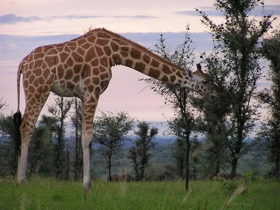
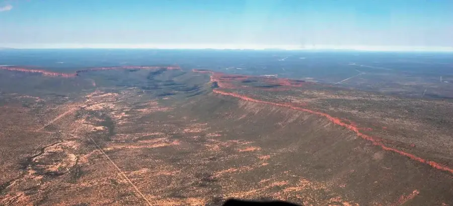
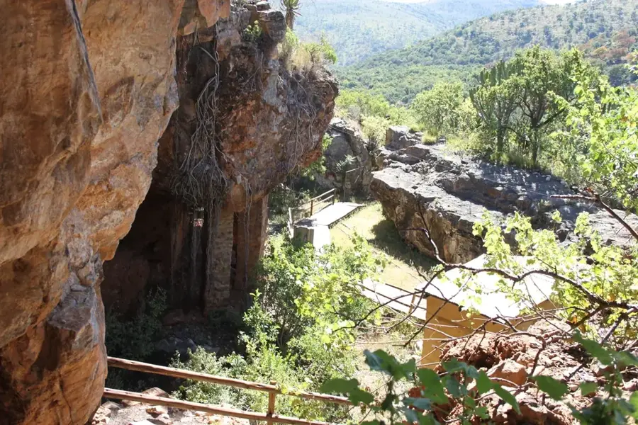
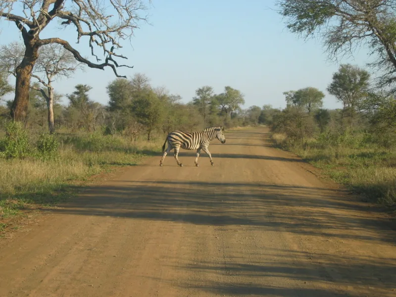
The Limpopo Plains stretch across the northernmost reaches of South Africa along the banks of the Limpopo River, which forms the border with Zimbabwe and Botswana. This region, often referred to as the Lowveld, is characterized by vast savanna landscapes, isolated rocky hills (koppies), and an impressive density of ancient baobab trees, some of which are over 1,000 years old. Geologically, the plains consist of sandy soils and ancient rock formations that are highly mineralized, containing significant deposits of coal and diamonds. Historically, the area is of immense importance as it was the site of the Kingdom of Mapungubwe, which flourished between 1075 and 1220 AD as a sophisticated trading center with connections as far as India and China. Wildlife in the Limpopo Plains is incredibly diverse, hosting the Big Five and forming the northern boundary of the world-renowned Kruger National Park. The climate is subtropical, with scorching summers and mild, frost-free winters. Today, the region balances wildlife conservation in massive transfrontier parks with a growing mining sector.
- Location: South Africa
- Nearby: Tzaneen (80 km)
Best time to visit & climate
The most pleasant time to visit is Apr, Sep, Oct.
| Jan | Feb | Mar | Apr | May | Jun | Jul | Aug | Sep | Oct | Nov | Dec | |
|---|---|---|---|---|---|---|---|---|---|---|---|---|
| Avg °C | 24 | 24 | 22 | 20 | 17 | 14 | 14 | 17 | 20 | 22 | 23 | 24 |
| Rain mm | 88 | 67 | 60 | 32 | 8 | 6 | 3 | 3 | 11 | 35 | 73 | 93 |
📋 Practical info
Geography
Facts
- The Limpopo River is roughly 1750 kilometers long and drains into the Indian Ocean.
- Mapungubwe Hill was the site of the first major southern African gold-trading state.
- The Big Tree in Limpopo is a massive baobab with a circumference of 47 meters.
- Musina is the northernmost town in South Africa, located near the Beitbridge border.
- The plains are home to the largest concentration of leopards in the country.
- Mining contributes significantly to the local economy, particularly coal and copper.
Explore nearby
Notable places around
Route planner — Car & Motorhome
Where do you start? We build the route here, with stops and country notes along the way.
© OpenStreetMap contributors · OpenRouteService
Sights nearby
Frequently asked questions
What can visitors expect in the Limpopo Plains?
Is malaria protection required in the region?
When is the best time to travel?
Are there family-friendly lodges?
Are the plains suitable for photographers?
Limpopo Plains: where is it located?
Limpopo Plains: when is the best time to visit?
Limpopo Plains: why is it worth visiting?

Nearby cities
Nature

More places