Plizio Visual Lab
Mount Malata
Weather…
Water temperature…
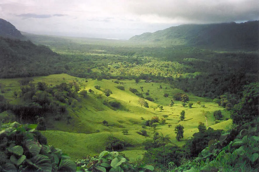
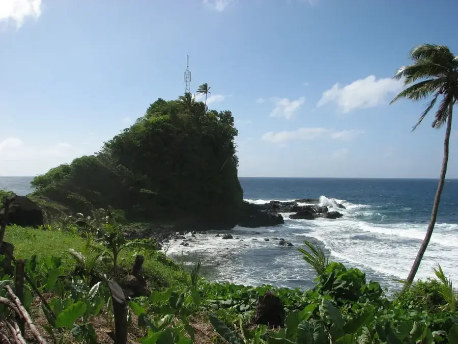
Mount Malata is a distinctive volcanic peak located on the island of Upolu, situated within the central mountain ridge. It reaches an elevation of approximately 443 meters and is part of the Salani volcanic series, which represents an intermediate stage in the island's geological formation. The mountain is covered in secondary and primary tropical forest, providing an important buffer zone for the island's interior biodiversity. Its slopes are characterized by weathered basaltic soils that support diverse flora and traditional subsistence agriculture in the lower reaches. Mount Malata is culturally significant to the surrounding villages, featuring in local oral histories and territorial demarcations. The peak has views of the southern coast of Upolu and is a notable landmark for those traveling through the island's interior. Efforts to preserve the area focus on managing invasive species and protecting the integrity of the natural forest cover.
- Location: Samoa
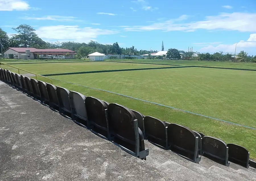
- Top sights: Solosolo Church of Jesus Christ of the Latter Day Saints · Solosolo Seventh Day Adventist Church · Solosolo Church of the Nazarene
- Nearby: Luatuanu'u (5 km)
Best time to visit & climate
The most pleasant time to visit is Jul–Sep.
| Jan | Feb | Mar | Apr | May | Jun | Jul | Aug | Sep | Oct | Nov | Dec | |
|---|---|---|---|---|---|---|---|---|---|---|---|---|
| Avg °C | 28 | 28 | 28 | 28 | 28 | 28 | 27 | 27 | 27 | 28 | 28 | 28 |
| Rain mm | 269 | 247 | 175 | 181 | 135 | 88 | 78 | 57 | 91 | 146 | 224 | 240 |
📋 Practical info
Geography
Facts
- Mount Malata has a peak elevation of 443 meters.
- It is part of the Salani volcanic group, dating to the Pleistocene epoch.
- The mountain is located in the central southern part of Upolu.
- It consists primarily of olivine basalt rocks.
- The area receives an average annual rainfall of approximately 3,500 mm.
- It serves as a landmark for the traditional district boundaries of Tuamasaga.
Explore nearby
Notable places around
Route planner — Car & Motorhome
Where do you start? We build the route here, with stops and country notes along the way.
© OpenStreetMap contributors · OpenRouteService
Sights in the town Mount Malata (3)
Solosolo Church of the Nazarene
Church of the Nazarene in Solosolo, hosting services for the Nazarene community.
Sights nearby
Frequently asked questions
How high is Mount Malata?
Is the path to the summit dangerous?
Are there parking facilities?
How long is the hike?
Is photography allowed from the summit?
Mount Malata: where is it located?
Mount Malata: what is there to see?
Mount Malata: when is the best time to visit?
Mount Malata: why is it worth visiting?

Nearby cities