Plizio Visual Lab
Cape Taputapu

Weather…
Water temperature…
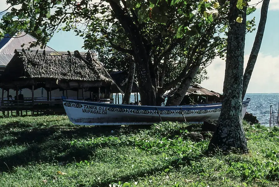
Cape Taputapu is located at the westernmost tip of Tutuila island in American Samoa and is recognized as a National Natural Landmark. This site marks the end of the steep volcanic ridge that forms the backbone of the island, plunging dramatically into the Pacific Ocean. The geology of the cape is characterized by volcanic breccia and basalt, which has been eroded into bizarre shapes by the incessant pounding of the ocean surf. Several small offshore rock islets serve as important nesting grounds for seabirds. Cape Taputapu holds deep cultural significance for Samoans, often mentioned in songs and legends as a prominent navigational landmark. The surrounding waters are known for their strong currents and rich marine biodiversity. Despite its remoteness, the cape is a destination for hikers wishing to experience the pristine beauty of the Samoan coastal landscape and the powerful dynamics of the ocean.
- Location: Samoa
- Nearby: Fasito'o Tai (8 km)
Best time to visit & climate
The most pleasant time to visit is Jul–Sep.
| Jan | Feb | Mar | Apr | May | Jun | Jul | Aug | Sep | Oct | Nov | Dec | |
|---|---|---|---|---|---|---|---|---|---|---|---|---|
| Avg °C | 28 | 28 | 28 | 28 | 28 | 27 | 27 | 27 | 27 | 27 | 27 | 28 |
| Rain mm | 258 | 241 | 165 | 169 | 128 | 91 | 75 | 56 | 92 | 141 | 213 | 229 |
📋 Practical info
Geography
Facts
- Cape Taputapu was designated a National Natural Landmark in 1972.
- It is the westernmost point of the island of Tutuila.
- The rock formations consist of volcanic breccia and basalt.
- Small offshore islets serve as a sanctuary for shearwaters.
- Strong currents make swimming extremely hazardous in this area.
- Archaeological finds suggest early use as a lookout point.
Explore nearby
Notable places around
Route planner — Car & Motorhome
Where do you start? We build the route here, with stops and country notes along the way.
© OpenStreetMap contributors · OpenRouteService
Sights nearby
Frequently asked questions
Is the place easily accessible?
How is the view?
Is there a cafe?
Is it dangerous for kids?
How much time to allocate?
Cape Taputapu: where is it located?
Cape Taputapu: when is the best time to visit?
Cape Taputapu: why is it worth visiting?

Nearby cities


History & landmarks

More places