Plizio Visual Lab
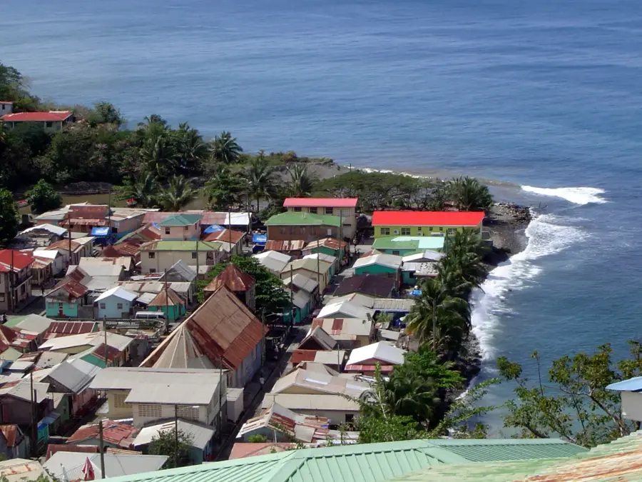
Port Castries
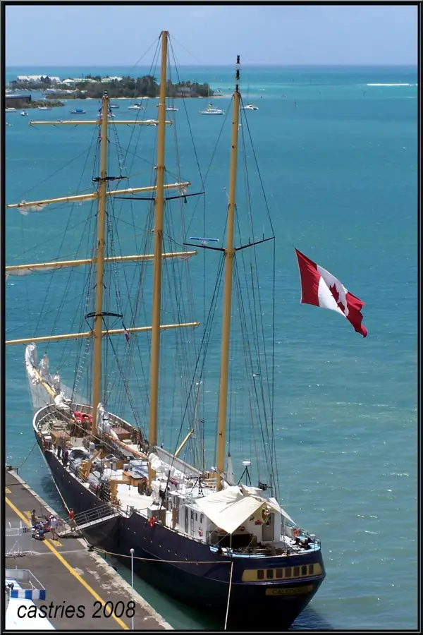
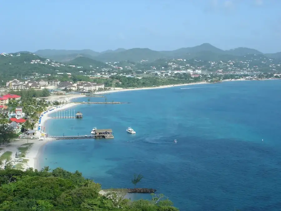
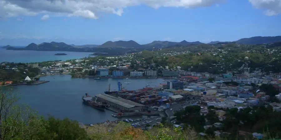
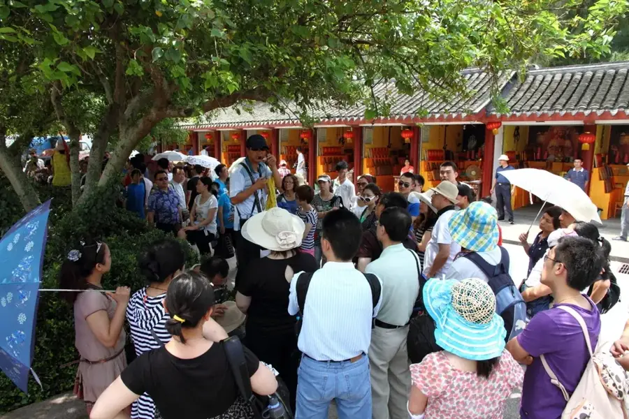
Port Castries is the economic lifeline of Saint Lucia, utilizing a deep, well-sheltered natural harbor on the island's northwestern coast. Managed by the Saint Lucia Air and Sea Ports Authority (SLASPA), it serves as the primary gateway for essential imports, ranging from consumer goods to industrial machinery and petroleum products. The port's historical significance is deeply rooted in the banana trade, once the island's 'green gold,' and it continues to facilitate the weekly export of agricultural produce to international markets. Beyond its cargo operations, the port features dedicated berths for massive cruise liners, bringing hundreds of thousands of visitors directly to the capital's doorstep each year. Its capacity to handle deep-draft vessels and its modern container transshipment facilities consolidate its position as a vital logistical hub within the Eastern Caribbean region.
- Location: St. Lucia
- Top sights: Vigie · Government House, Saint Lucia · Saint Mary's College (Saint Lucia)
- Nearby: Roseau (4 km)
Best time to visit & climate
The most pleasant time to visit is Jan–Mar.
| Jan | Feb | Mar | Apr | May | Jun | Jul | Aug | Sep | Oct | Nov | Dec | |
|---|---|---|---|---|---|---|---|---|---|---|---|---|
| Avg °C | 26 | 26 | 26 | 27 | 28 | 28 | 28 | 28 | 29 | 28 | 28 | 27 |
| Rain mm | 68 | 44 | 48 | 97 | 102 | 136 | 154 | 180 | 182 | 189 | 159 | 85 |
📋 Practical info
Geography
Facts
- The port was originally founded in 1650 by the French.
- The water depth in the main basin ranges between 10 and 12 meters.
- Pointe Seraphine was opened as a cruise ship terminal in the 1980s.
- Annually, over 200,000 cruise passengers are processed in Port Castries.
- A major fire in 1948 destroyed large parts of the adjacent port city.
- The port serves as the central export point for the island's banana industry.
Explore nearby
Notable places around
Route planner — Car & Motorhome
Where do you start? We build the route here, with stops and country notes along the way.
© OpenStreetMap contributors · OpenRouteService
Sights in the town Port Castries (3)
Sights nearby
Frequently asked questions
What is the main function of the port?
Can tourists visit the port?
Are there shopping opportunities at the port?
How far is the city center?
When is the best time to visit?
Port Castries: where is it located?
Port Castries: what is there to see?
Port Castries: when is the best time to visit?
Port Castries: why is it worth visiting?

Nearby cities