Plizio Visual Lab
Cul de Sac Valley (Sugar History)
Weather…
Water temperature…
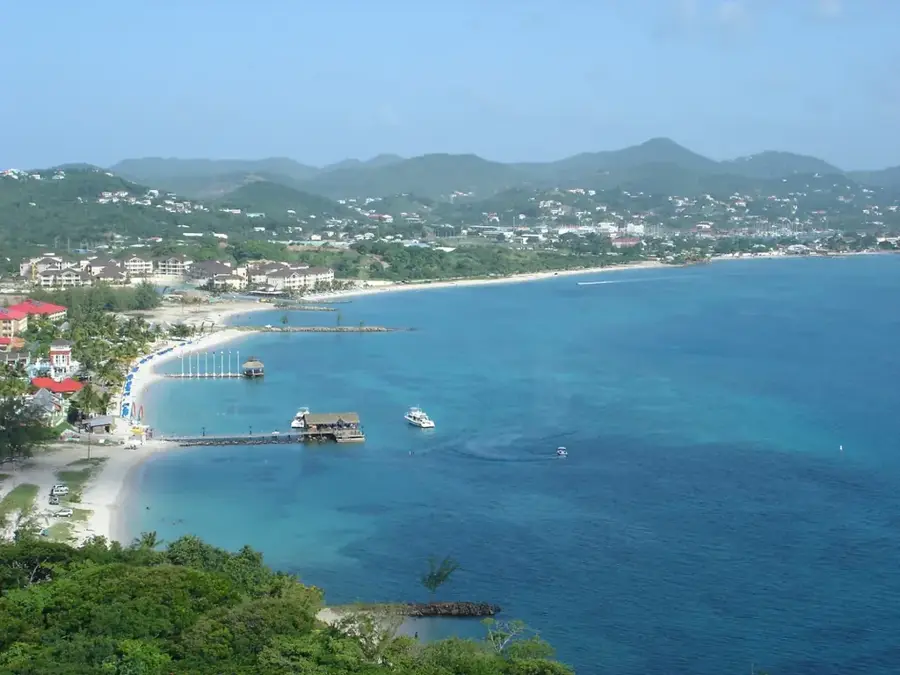
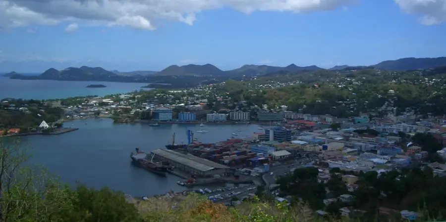
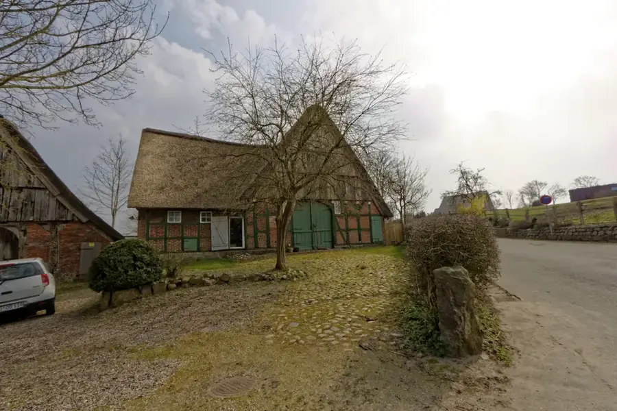
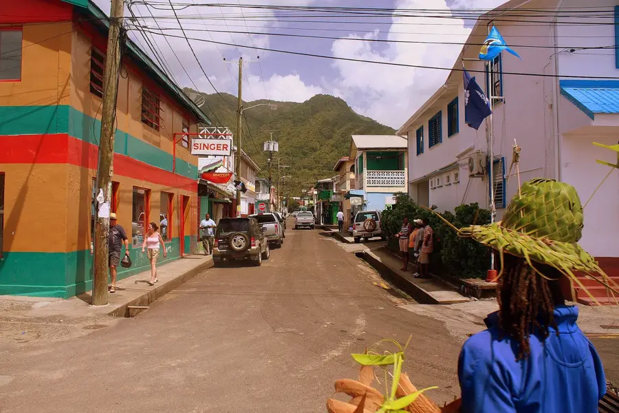
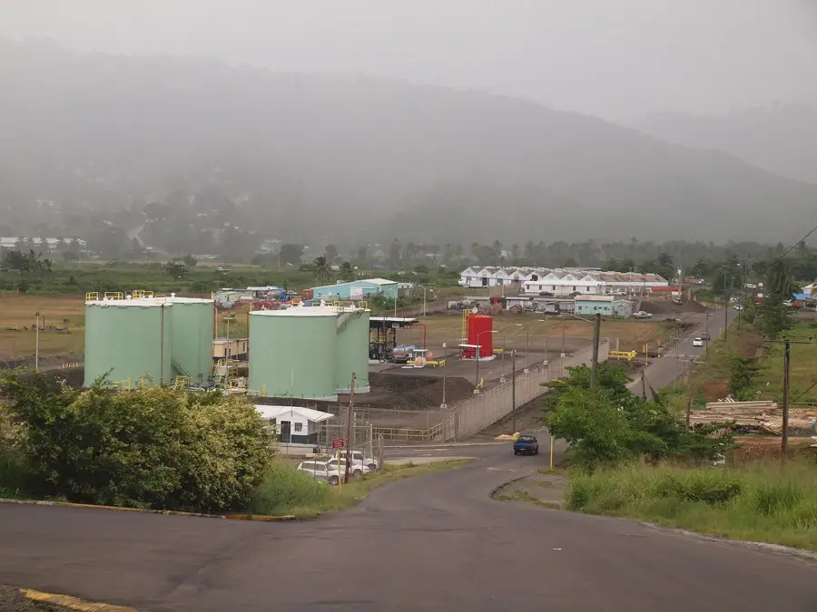
The Cul de Sac Valley is a cornerstone of Saint Lucia's heritage, having served as the primary engine of the island's sugar economy for over two centuries. The fertile alluvial soils made it the good location for massive sugar estates, which eventually saw the transition from traditional labor to industrial steam-powered factories in the 19th century. Remnants of this industrial past are still scattered throughout the valley, including rusted railway tracks once used by locomotives to haul cut cane from the fields to the central factories. The history of the valley is deeply intertwined with the colonial era, providing a window into the lives of the enslaved people and indentured laborers who built the island's wealth. Following the collapse of the sugar market, the valley adapted, becoming a strategic industrial zone and a hub for banana cultivation. Today, it features a fascinating look at the economic evolution of Saint Lucia, where historical ruins stand alongside modern shipping facilities and lush tropical agriculture.
- Location: St. Lucia
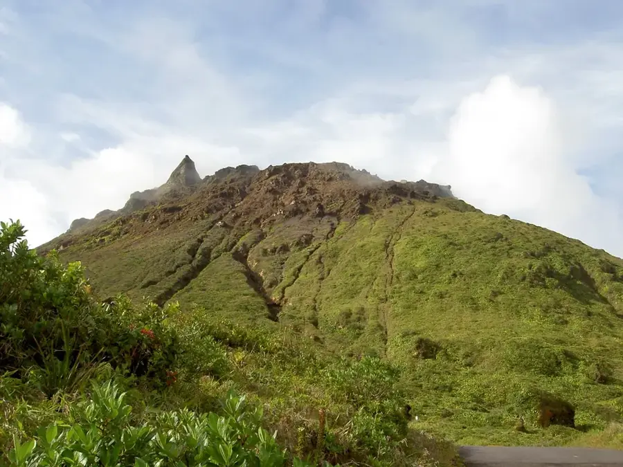
- Top sights: Cul de Sac River · Soucis · Cul De Sac Power Station
- Nearby: Bexon (4 km)
Best time to visit & climate
The most pleasant time to visit is Jan–Mar.
| Jan | Feb | Mar | Apr | May | Jun | Jul | Aug | Sep | Oct | Nov | Dec | |
|---|---|---|---|---|---|---|---|---|---|---|---|---|
| Avg °C | 26 | 26 | 26 | 27 | 28 | 28 | 28 | 28 | 29 | 28 | 28 | 27 |
| Rain mm | 68 | 44 | 48 | 97 | 102 | 136 | 154 | 180 | 182 | 189 | 159 | 85 |
📋 Practical info
Geography
Facts
- Sugar cane cultivation began around 1720
- Current site of Geest banana terminals
- Largest agricultural valley on the island
- Central factory closed in 1953
- Former railway line used for transport
- Site of numerous historical slave revolts
Explore nearby
Notable places around
Route planner — Car & Motorhome
Where do you start? We build the route here, with stops and country notes along the way.
© OpenStreetMap contributors · OpenRouteService
Sights in the town Cul de Sac Valley (Sugar History) (3)
Sights nearby
Frequently asked questions
What role did the valley play for sugar?
Are there still active factories there?
What can a tourist see there?
What is the terrain like?
When is the best time for photos?
Cul de Sac Valley (Sugar History): where is it located?
Cul de Sac Valley (Sugar History): what is there to see?
Cul de Sac Valley (Sugar History): when is the best time to visit?
Cul de Sac Valley (Sugar History): why is it worth visiting?

Nearby cities