Plizio Visual Lab
Pigeon Island Causeway
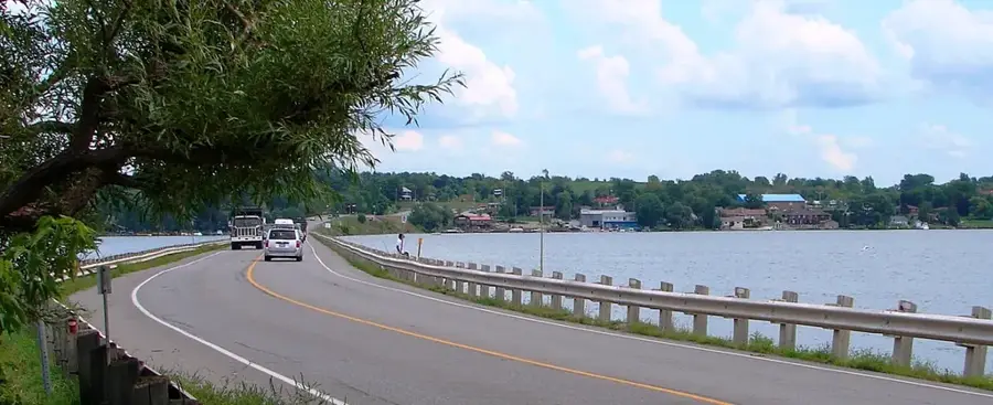
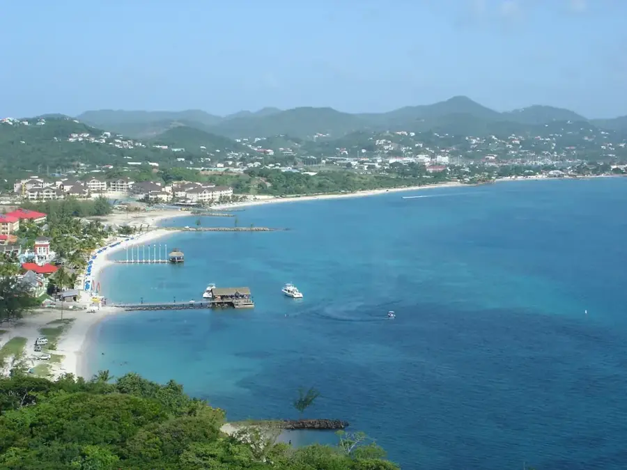
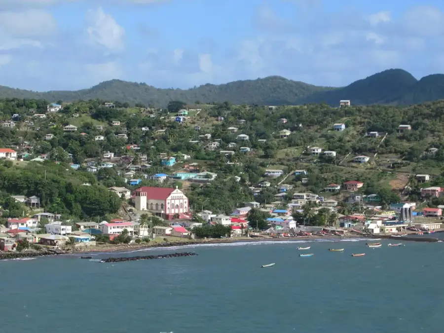
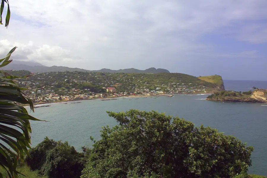
The construction of the causeway in the early 1970s was a transformative engineering project that permanently linked the formerly isolated Pigeon Island to the mainland of Saint Lucia. This man-made land bridge was built using sand and earth, effectively closing the gap between the island and the town of Gros Islet, which drastically altered the marine environment of Rodney Bay. While it ended the island's isolation and made it easily accessible by foot and vehicle, the causeway also disrupted natural current patterns, leading to significant changes in local sedimentation and beach formation. Today, it serves as the gateway to the Pigeon Island National Park, allowing thousands of visitors to explore the 18th-century British military ruins and enjoy the diverse flora and fauna of the site. The area around the causeway has since developed into a major tourism hub, blending historical significance with modern coastal amenities and providing a unique vantage point for observing the Caribbean sunset.
- Location: St. Lucia
- Top sights: St. Joseph the Worker Church, Gros Islet · Gros Islet · Pigeon Island (Saint Lucia)
- Nearby: Babonneau (4 km)
Best time to visit & climate
The most pleasant time to visit is Jan–Mar.
| Jan | Feb | Mar | Apr | May | Jun | Jul | Aug | Sep | Oct | Nov | Dec | |
|---|---|---|---|---|---|---|---|---|---|---|---|---|
| Avg °C | 26 | 26 | 26 | 27 | 28 | 28 | 28 | 28 | 29 | 28 | 28 | 27 |
| Rain mm | 68 | 44 | 48 | 97 | 102 | 136 | 154 | 180 | 182 | 189 | 159 | 85 |
📋 Practical info
Geography
Facts
- Construction of the causeway was completed in 1972
- The length of the connection is about 1.2 kilometers
- Material used came from dredging the yacht marina
- Enabled Pigeon Island to be designated a National Park
- Caused erosion on the beaches of Rodney Bay
- Currently used by the main road leading to Gros Islet
Explore nearby
Notable places around
Route planner — Car & Motorhome
Where do you start? We build the route here, with stops and country notes along the way.
© OpenStreetMap contributors · OpenRouteService
Sights in the town Pigeon Island Causeway (3)
Sights nearby
Frequently asked questions
What is the Pigeon Island Causeway?
Can you walk across the causeway?
Do you have to pay for the causeway?
Are there beaches along the causeway?
Is there parking available?
Pigeon Island Causeway: where is it located?
Pigeon Island Causeway: what is there to see?
Pigeon Island Causeway: when is the best time to visit?
Pigeon Island Causeway: why is it worth visiting?

Nearby cities