Plizio Visual Lab
Morne Fortune Signal Station
Weather…
Water temperature…
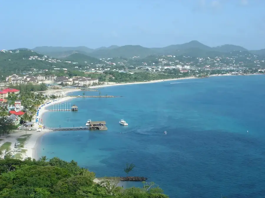
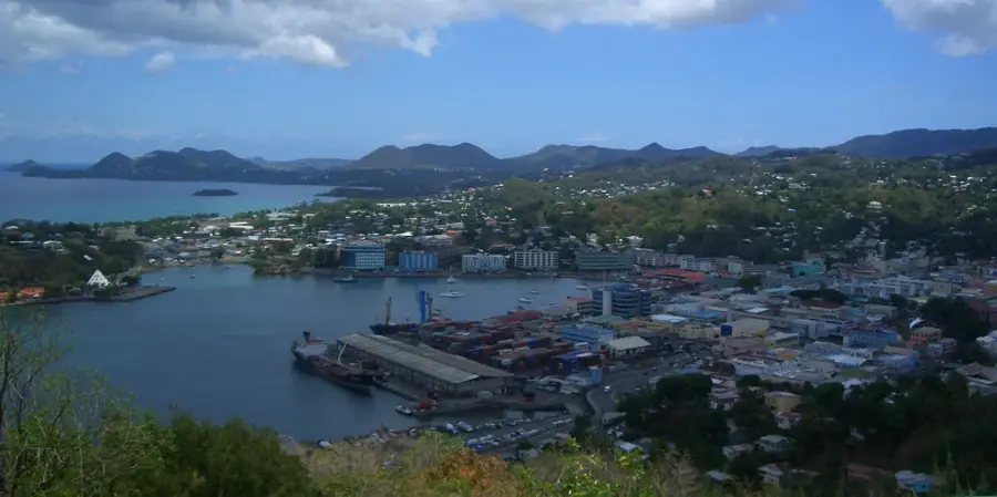
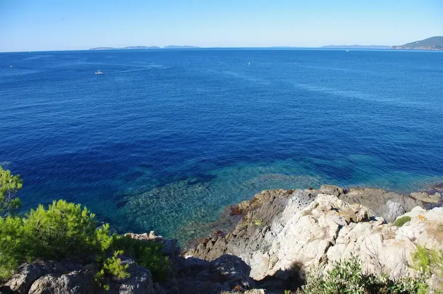
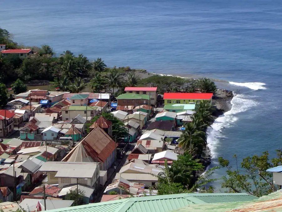
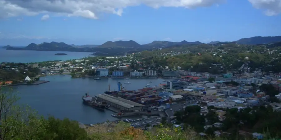
The signal station at the summit of Morne Fortune was a vital link in Saint Lucia's defensive network during the protracted struggles between France and Britain in the 18th and 19th centuries. Given its strategic elevation overlooking the Bay of Castries, lookouts could spot approaching enemy vessels from a significant distance. Communication was conducted via a semaphore system, using flags during the day and light signals at night to relay coded messages to other military outposts, such as Pigeon Island to the north. Today, visitors can examine the remains of the historic military infrastructure while enjoying a 360-degree panorama that encompasses the capital and reaches toward the neighboring islands. The station serves as a testament to the era of optical telegraphy and the island's complex military history, offering insight into the logistical challenges of island defense before the advent of the electric telegraph.
- Location: St. Lucia
- Top sights: Windward Islands · Lesser Antilles · Government House, Saint Lucia
- Nearby: Millet (4 km)
Best time to visit & climate
The most pleasant time to visit is Jan–Mar.
| Jan | Feb | Mar | Apr | May | Jun | Jul | Aug | Sep | Oct | Nov | Dec | |
|---|---|---|---|---|---|---|---|---|---|---|---|---|
| Avg °C | 26 | 26 | 26 | 27 | 28 | 28 | 28 | 28 | 29 | 28 | 28 | 27 |
| Rain mm | 68 | 44 | 48 | 97 | 102 | 136 | 154 | 180 | 182 | 189 | 159 | 85 |
📋 Practical info
Geography
Facts
- Elevation of approximately 260 meters above sea level
- Strategic point for the defense of Castries
- Used optical telegraphy in the 18th century
- Part of the broader Morne Fortune military complex
- Located near the Government House
- Site of significant peace negotiations in 1796
Explore nearby
Notable places around
Route planner — Car & Motorhome
Where do you start? We build the route here, with stops and country notes along the way.
© OpenStreetMap contributors · OpenRouteService
Sights in the town Morne Fortune Signal Station (3)
Sights nearby
Frequently asked questions
What was the Morne Fortune Signal Station used for?
Are there original signal masts remaining?
Can the station be visited?
How do you get from Castries to the signal station?
Is the trip worth it for photos?
Morne Fortune Signal Station: where is it located?
Morne Fortune Signal Station: what is there to see?
Morne Fortune Signal Station: when is the best time to visit?
Morne Fortune Signal Station: why is it worth visiting?

Nearby cities