Plizio Visual Lab
Cul de Sac Bridge
Weather…
Water temperature…
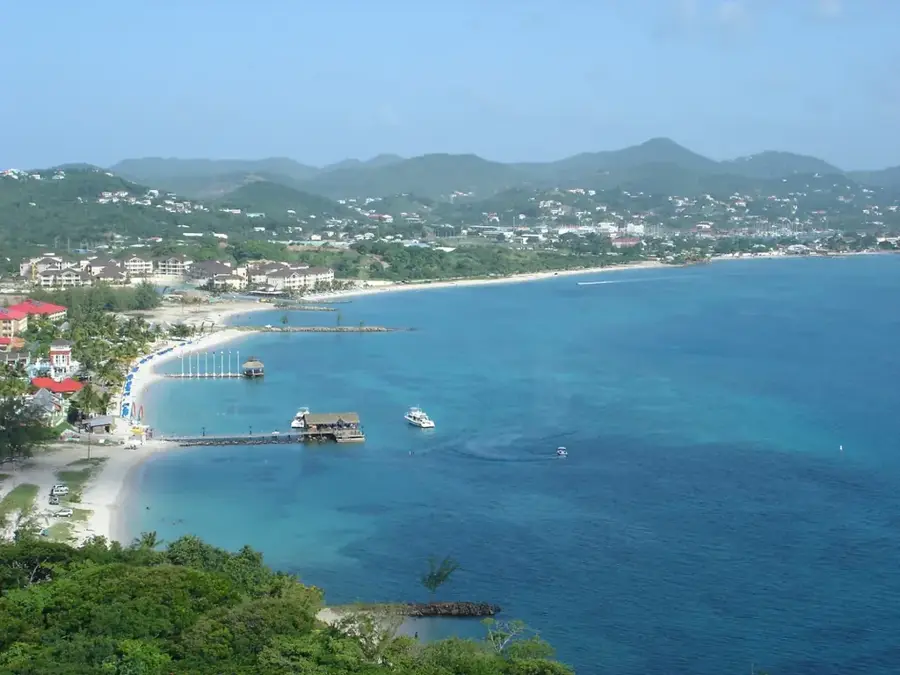
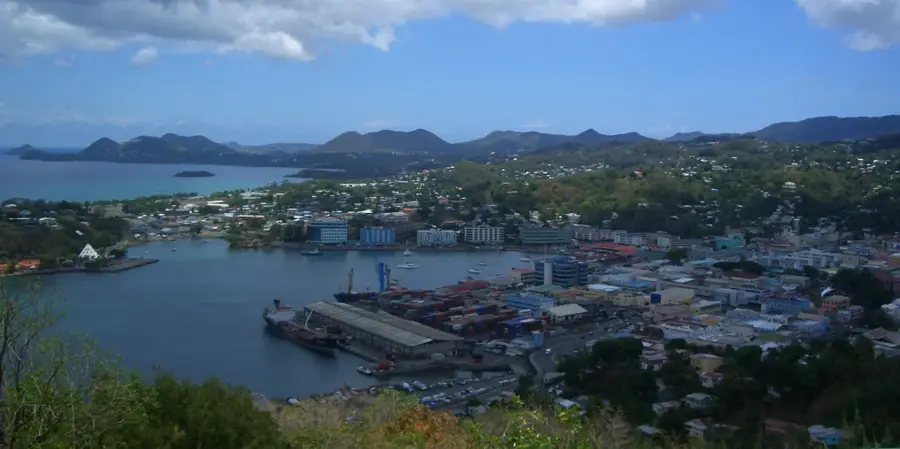
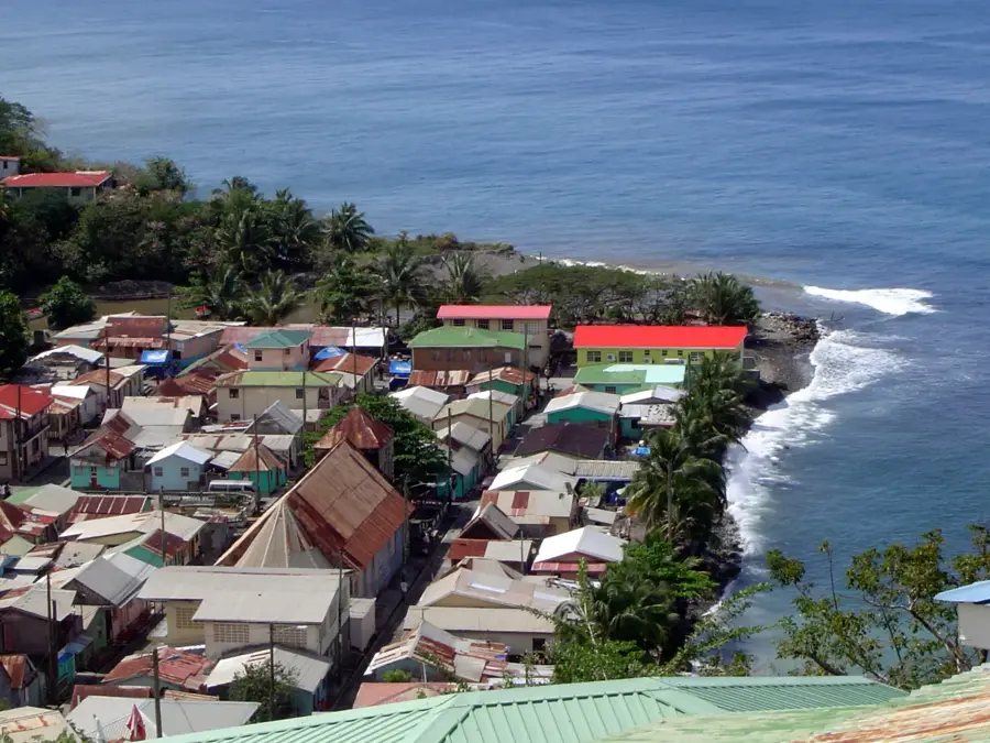
The Cul de Sac Bridge is a cornerstone of Saint Lucia's transportation network, spanning the river in the broad Cul de Sac Valley just south of the capital. As the primary link between the bustling northern hub of Castries and the scenic southern districts, the bridge manages a massive volume of daily traffic. The surrounding valley is an economic engine for the island, hosting extensive banana plantations and emerging industrial zones that rely heavily on this crossing for distribution. For tourists traveling south toward Soufrière, the bridge features a sweeping view of the river's path through the dense tropical greenery of the valley floor. During the rainy season, the river swells significantly, showcasing the vital role of the bridge's elevation and robust construction. Its strategic importance makes it one of the most monitored infrastructure points on the island, essential for both local commerce and international tourism access.
- Location: St. Lucia
- Top sights: Soucis · Cul de Sac River · Morne Fortune
- Nearby: Anse La Raye Inland (4 km)
Best time to visit & climate
The most pleasant time to visit is Jan–Mar.
| Jan | Feb | Mar | Apr | May | Jun | Jul | Aug | Sep | Oct | Nov | Dec | |
|---|---|---|---|---|---|---|---|---|---|---|---|---|
| Avg °C | 26 | 26 | 26 | 27 | 28 | 28 | 28 | 28 | 29 | 28 | 28 | 27 |
| Rain mm | 68 | 44 | 48 | 97 | 102 | 136 | 154 | 180 | 182 | 189 | 159 | 85 |
📋 Practical info
Geography
Facts
- Spans the Cul de Sac River
- Main route towards Soufrière
- Located in Castries District
- Upgraded after 2010 floods
- Crucial for banana transportation
- Heavy traffic load capacity
Explore nearby
Notable places around
Route planner — Car & Motorhome
Where do you start? We build the route here, with stops and country notes along the way.
© OpenStreetMap contributors · OpenRouteService
Sights in the town Cul de Sac Bridge (3)
Sights nearby
Frequently asked questions
Where is the Cul de Sac bridge located?
What can you see from the bridge?
Is the bridge safe for pedestrians?
Why is this bridge important?
Can you park under the bridge?
Cul de Sac Bridge: where is it located?
Cul de Sac Bridge: what is there to see?
Cul de Sac Bridge: when is the best time to visit?
Cul de Sac Bridge: why is it worth visiting?

Nearby cities