Plizio Visual Lab
Cul de Sac Valley
Weather…
Water temperature…
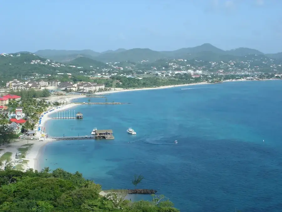
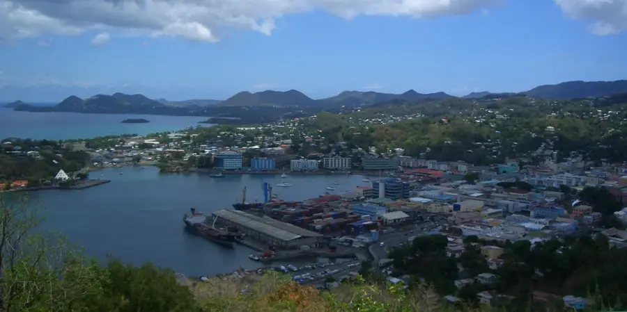
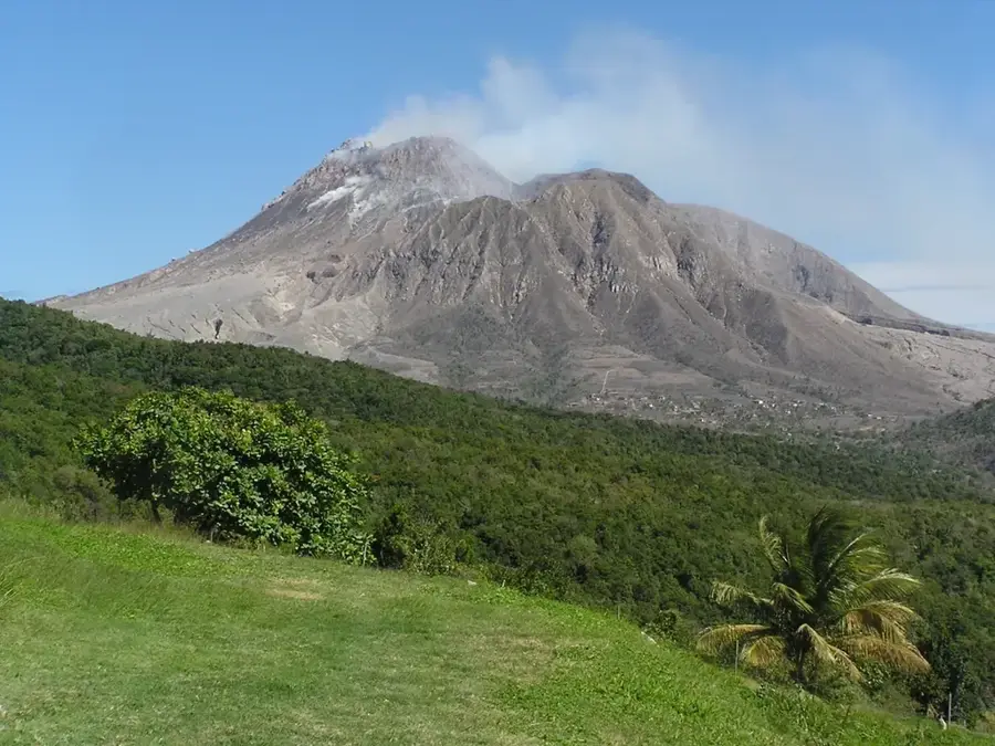
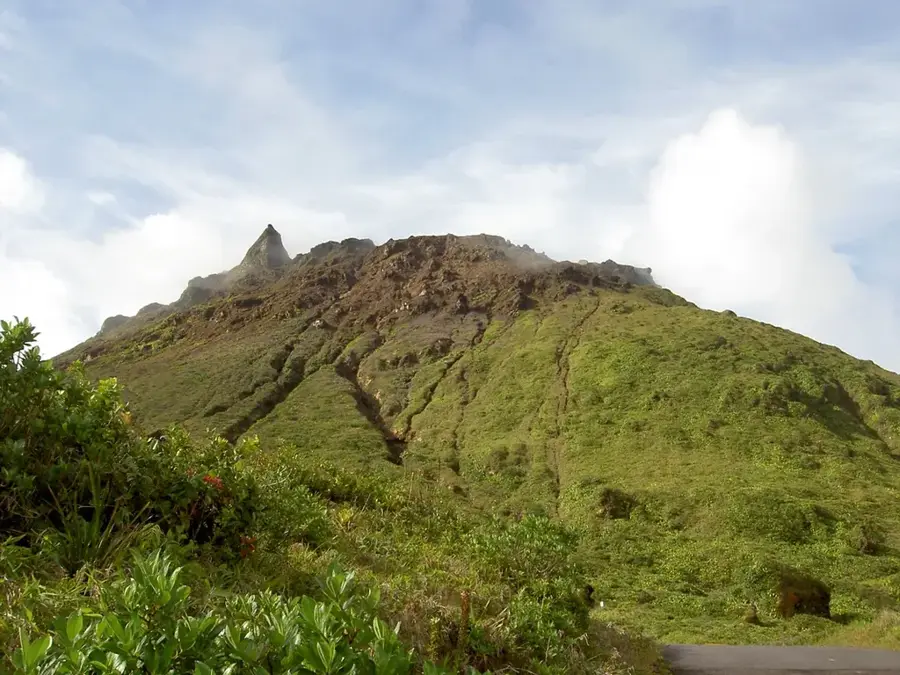
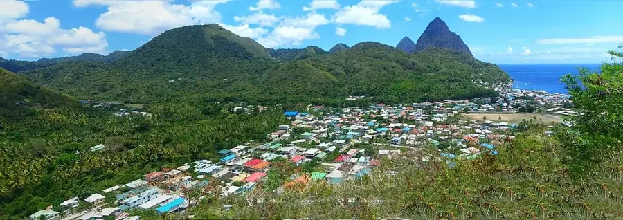
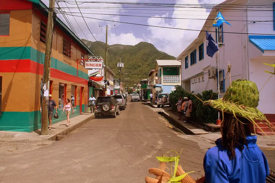
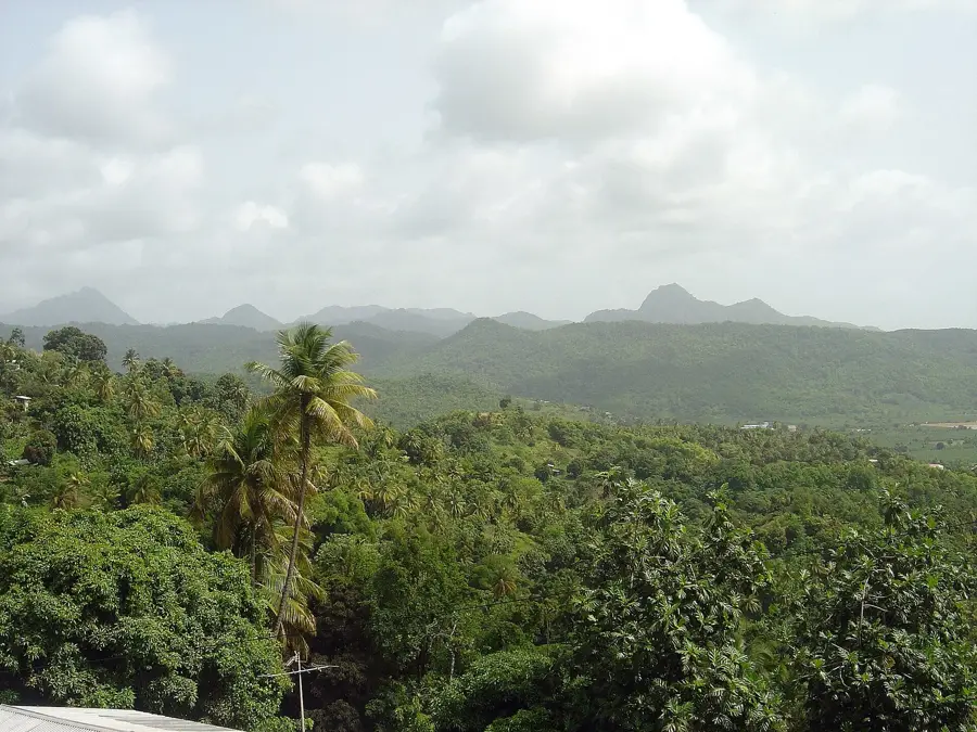
Cul de Sac Valley is a cornerstone of Saint Lucia's geography and economy, stretching southwards from the capital city of Castries. Formed by the winding Cul de Sac River, the valley is blessed with deep, alluvial soil that has made it the island's premier agricultural hub for decades. The landscape is famously characterized by vast, emerald-green banana plantations that provide a livelihood for many local communities and represent a major portion of the nation's exports. In addition to its farming significance, the valley houses key industrial infrastructure, including the massive Hess oil terminal, highlighting its role as a multipurpose economic zone. Driving through the valley features travelers a panoramic view of the fertile plains framed by steep, forest-clad ridges that often capture the Caribbean mist. This region serves as a vital corridor connecting the urban north with the more rural south, offering a glimpse into the hardworking spirit of the islanders. The Cul de Sac Valley remains a powerful symbol of Saint Lucia's natural productivity and its ongoing industrial development.
- Location: St. Lucia
- Top sights: Cul De Sac Power Station · Soucis · Tourat
- Nearby: Carellie (4 km)
Best time to visit & climate
The most pleasant time to visit is Jan–Mar.
| Jan | Feb | Mar | Apr | May | Jun | Jul | Aug | Sep | Oct | Nov | Dec | |
|---|---|---|---|---|---|---|---|---|---|---|---|---|
| Avg °C | 26 | 26 | 26 | 27 | 28 | 28 | 28 | 28 | 29 | 28 | 28 | 27 |
| Rain mm | 68 | 44 | 48 | 97 | 102 | 136 | 154 | 180 | 182 | 189 | 159 | 85 |
📋 Practical info
Geography
Facts
- Home to a major oil storage terminal for the region
- Once the site of significant sugar cane factories
- The Cul de Sac River is approximately 12 kilometers long
- Most important banana-growing area in the north
- The valley was formed by volcanic sedimentation
- Contains a large solar farm for electricity generation
Explore nearby
Notable places around
Route planner — Car & Motorhome
Where do you start? We build the route here, with stops and country notes along the way.
© OpenStreetMap contributors · OpenRouteService
Sights in the town Cul de Sac Valley (3)
Sights nearby
Frequently asked questions
What can you see in Cul de Sac Valley?
Where is the best view of the valley?
Can you visit the plantations?
What role does the valley play in the economy?
Does a river flow through the valley?
Cul de Sac Valley: where is it located?
Cul de Sac Valley: what is there to see?
Cul de Sac Valley: when is the best time to visit?
Cul de Sac Valley: why is it worth visiting?

Nearby cities