Plizio Visual Lab
Getic Plateau

Weather…
Water temperature…
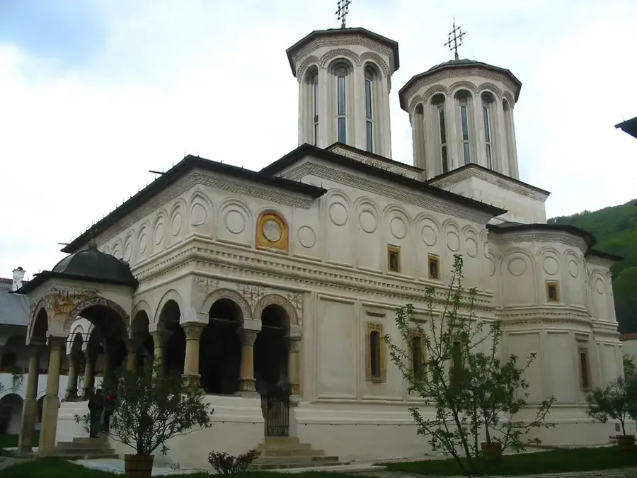
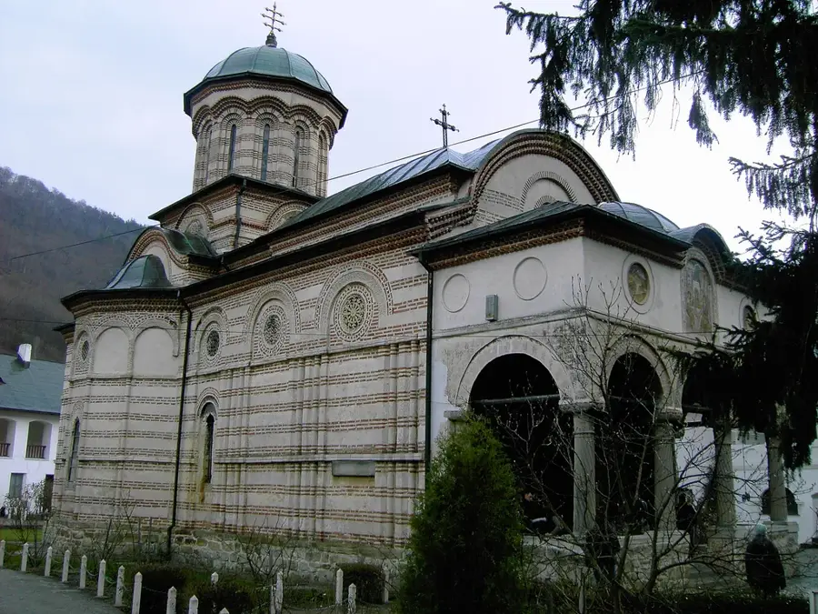
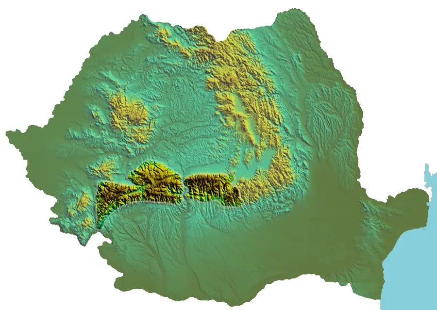
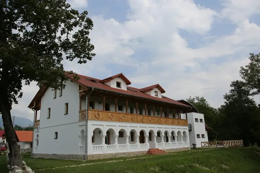
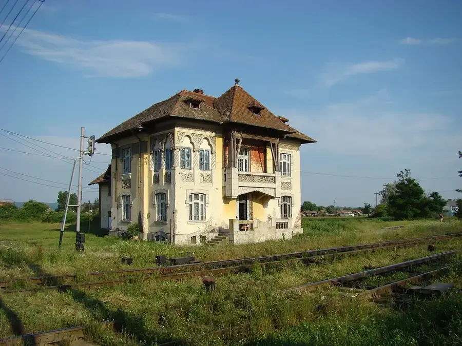
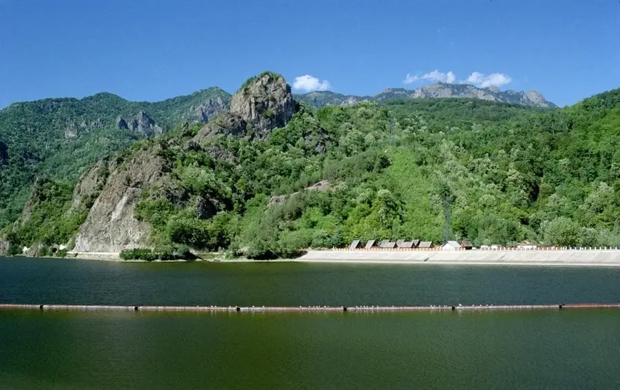
The Getic Plateau (Podișul Getic) is an extensive geomorphological unit in southern Romania, stretching between the Southern Carpathians and the Romanian Plain. It acts as a transition zone and is characterized by gentle rolling hills that gradually descend from north to south. The formation of the plateau dates back to the deposition of thick sedimentary layers during the Tertiary period, which were later dissected by erosion and rivers such as the Olt, Argeș, and Jiu. These valleys divide the plateau into several sectors, each with its own scenic features. The soils are fertile, favoring intensive agriculture, particularly grain and fruit cultivation. Historically, the Getic Plateau was an important settlement area with numerous monasteries and manor houses testifying to Wallachia's rich cultural past. The climate is temperate-continental, which encouraged the development of extensive oak and beech forests at higher elevations.
- Location: Vâlcea, Romania
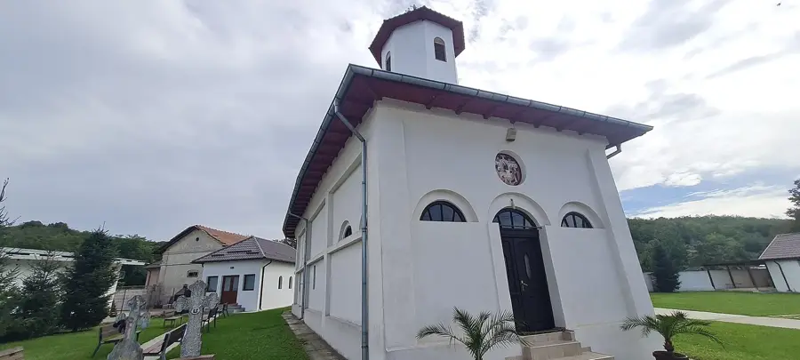
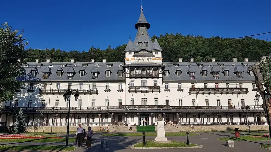
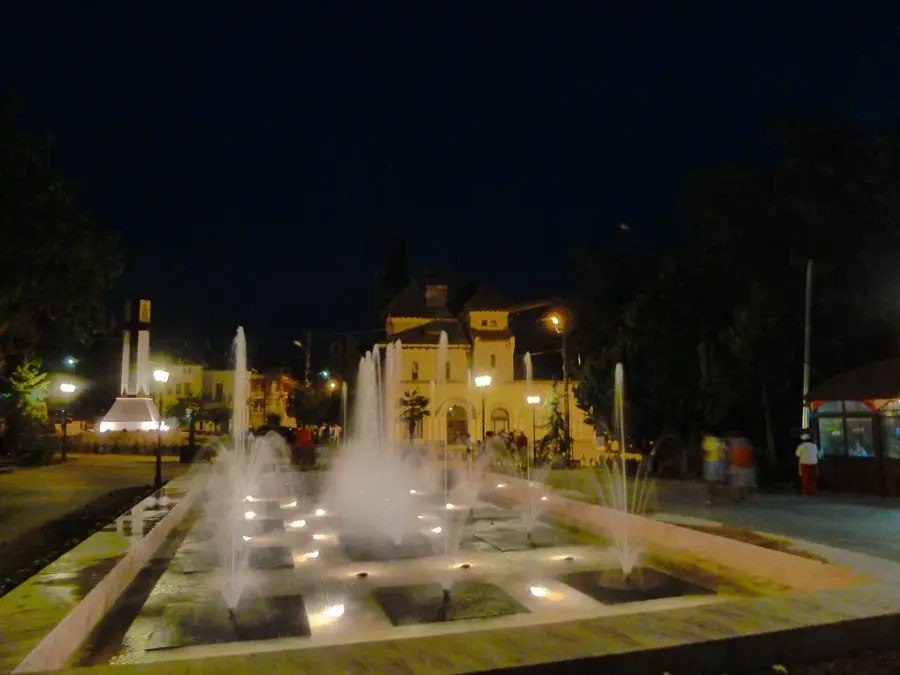
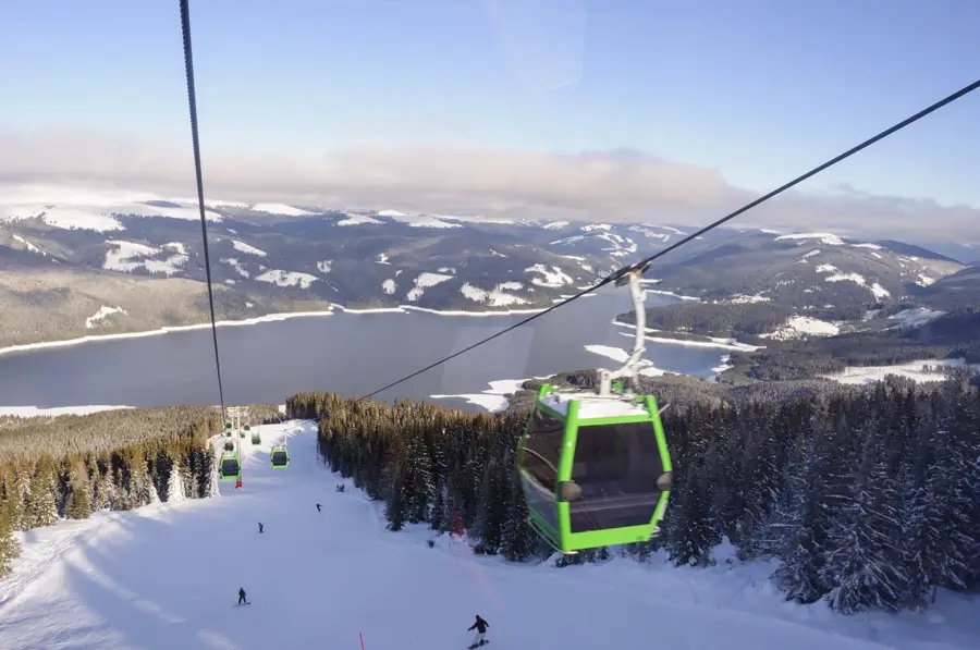
- Top sights: Scundu · Pons Aluti (castra)
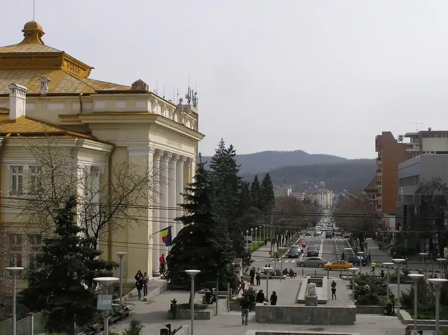
- Nearby: Băbeni (14 km)
Best time to visit & climate
The most pleasant time to visit is Jun–Aug.
| Jan | Feb | Mar | Apr | May | Jun | Jul | Aug | Sep | Oct | Nov | Dec | |
|---|---|---|---|---|---|---|---|---|---|---|---|---|
| Avg °C | -2 | 0 | 5 | 10 | 16 | 20 | 22 | 22 | 17 | 11 | 5 | 0 |
| Rain mm | 44 | 41 | 48 | 56 | 87 | 98 | 86 | 61 | 58 | 64 | 54 | 53 |
📋 Practical info
Geography
Facts
- The plateau covers an area of approximately 14,000 km².
- The average elevation ranges between 200 and 500 meters.
- It is located south of the Subcarpathians and north of the Romanian Plain.
- Major rivers like the Olt and Argeș cross through the area.
- The region is rich in lignite (brown coal) and petroleum deposits.
- Several significant wine-growing regions of Romania are located here.
Explore nearby
Notable places around
Route planner — Car & Motorhome
Where do you start? We build the route here, with stops and country notes along the way.
© OpenStreetMap contributors · OpenRouteService
Sights in the town Getic Plateau (2)
Sights nearby
Frequently asked questions
What is the Getic Plateau?
What is this region known for?
What cities are located in the Getic Plateau?
What is the terrain like?
Are there tourist attractions in the area?
Getic Plateau: where is it located?
Getic Plateau: what is there to see?
Getic Plateau: when is the best time to visit?
Getic Plateau: why is it worth visiting?

Nearby cities
History & landmarks
More places