Plizio Visual Lab
Umm Tais

Weather…
Water temperature…
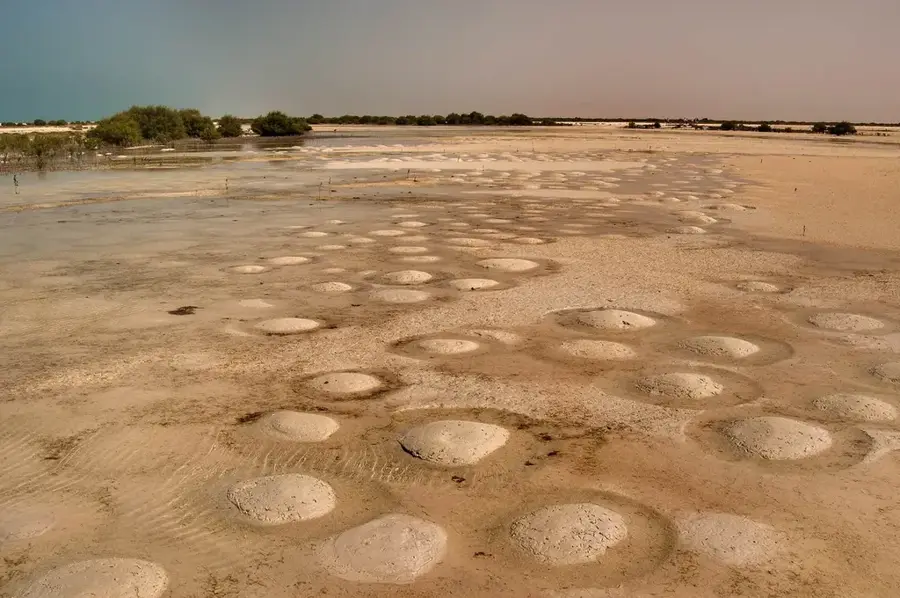
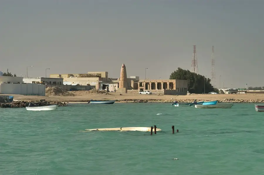
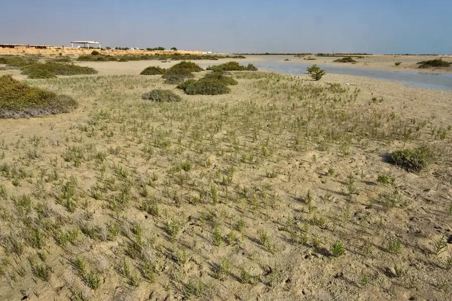
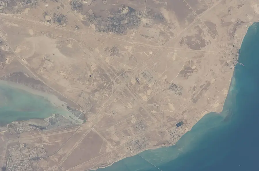
Umm Tais is an uninhabited, protected island and national park at the northernmost tip of the Qatar peninsula, near Ras Rakan. This remote island is a fragile ecosystem that combines a remarkable diversity of habitats in a small area. These include sandy beaches, salt marshes (sabkhas), rocky shores, and most importantly, mangrove forests. The island is surrounded by shallow, tidal waters rich in seagrass meadows, an important food source for dugongs. Umm Tais is of crucial importance as a nesting site for Hawksbill sea turtles and as a resting and breeding ground for numerous bird species, including Socotra cormorants and various heron species. Access to the island is strictly regulated to protect its sensitive nature. The efforts to protect Umm Tais underscore Qatar's commitment to conserving its natural treasures and maintaining biodiversity in a region heavily impacted by human activities.
- Location: Qatar
- Nearby: Al Ruwais (8 km)
Best time to visit & climate
The most pleasant time to visit is Feb, Mar, Dec.
| Jan | Feb | Mar | Apr | May | Jun | Jul | Aug | Sep | Oct | Nov | Dec | |
|---|---|---|---|---|---|---|---|---|---|---|---|---|
| Avg °C | 18 | 19 | 22 | 26 | 30 | 33 | 35 | 35 | 33 | 30 | 26 | 21 |
| Rain mm | 10 | 7 | 6 | 6 | 0 | 0 | 0 | 1 | 0 | 2 | 11 | 12 |
📋 Practical info
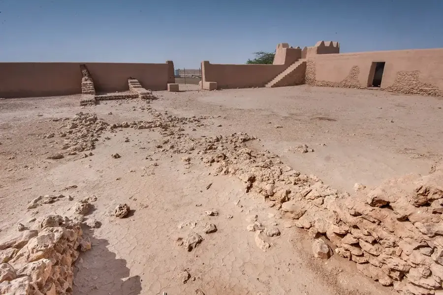
Geography
Facts
- The island is almost completely flooded during extreme high tides.
- The mangroves here are among the most northerly in the world.
- The seagrass meadows are crucial for the survival of the dugong population in the Gulf.
- The area has been designated an Important Bird Area (IBA) by BirdLife International.
- The name 'Umm Tais' means 'Mother of the Goat'.
- The island is an important research area for marine biologists.
- Plastic pollution from the sea is a constant threat.
Explore nearby
Notable places around
Route planner — Car & Motorhome
Where do you start? We build the route here, with stops and country notes along the way.
© OpenStreetMap contributors · OpenRouteService
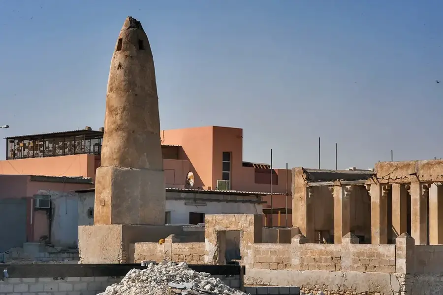
Sights in the town Umm Tais (1)
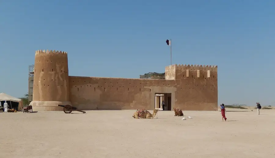
Sights nearby
Frequently asked questions
What makes Umm Tais special?
Is it possible to swim there?
What birds can be seen there?
Do you need a special car?
Are there toilets or restaurants there?
Umm Tais: where is it located?
Umm Tais: when is the best time to visit?
Umm Tais: why is it worth visiting?

Nearby cities
Nature

More places