Plizio Visual Lab
Al Thakira Mangroves

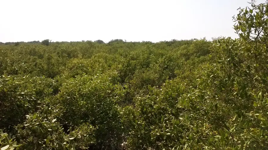
The Al Thakira Mangroves, located north of the city of Al Khor, form an expansive area of lush greenery that provides a stark contrast to the surrounding desert landscape. This unique ecosystem thrives in saltwater and is one of Qatar's oldest and largest mangrove reserves. It serves as a vital habitat for a variety of bird species, especially during migratory seasons, making it a popular spot for birdwatchers and nature photographers. Visitors can explore the area by kayak, navigating the winding channels during low tide, which allows for an up-close encounter with the resilient flora and fauna. The Avicennia marina, or grey mangrove, is the predominant species, adapted to the high salinity and extreme temperatures of the region.
- Location: Qatar
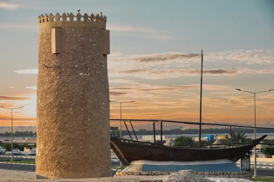
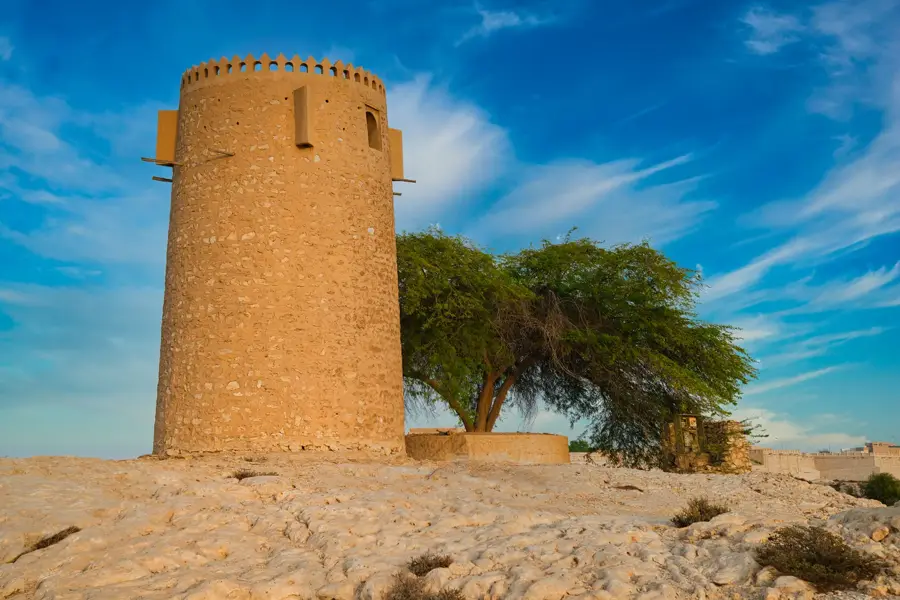
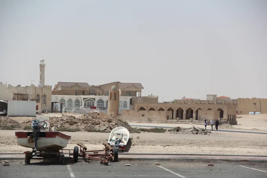
- Top sights: Al Dakira Beach Historical Mosque · Al Khor Farmer's Market
- Nearby: Al Khor (6 km)
Best time to visit & climate
The most pleasant time to visit is Feb, Mar, Dec.
| Jan | Feb | Mar | Apr | May | Jun | Jul | Aug | Sep | Oct | Nov | Dec | |
|---|---|---|---|---|---|---|---|---|---|---|---|---|
| Avg °C | 18 | 19 | 22 | 27 | 32 | 35 | 36 | 36 | 34 | 30 | 25 | 20 |
| Rain mm | 6 | 5 | 4 | 5 | 0 | 0 | 0 | 0 | 0 | 2 | 10 | 9 |
📋 Practical info
Geography
Facts
- The area is part of the UNESCO-recognized Al Reem Biosphere Reserve.
- The waterways are best navigated by kayak during low tide.
- Hosts over 50 species of birds, including flamingos and herons.
- The mangroves help protect the coastline from erosion.
- Fish and crabs use the root system as a nursery ground.
- Humidity within the mangrove forest is noticeably higher than the desert.
Explore nearby
Notable places around
Route planner — Car & Motorhome
Where do you start? We build the route here, with stops and country notes along the way.
© OpenStreetMap contributors · OpenRouteService
Sights in the town Al Thakira Mangroves (2)
Sights nearby
Frequently asked questions
What is the best way to explore the mangroves?
Is it safe to swim?
What is the best time of day?
Do I need a guide?
Are there restroom facilities?
Al Thakira Mangroves: where is it located?
Al Thakira Mangroves: what is there to see?
Al Thakira Mangroves: when is the best time to visit?
Al Thakira Mangroves: why is it worth visiting?

Nearby cities
History & landmarks

Nature

More places