Plizio Visual Lab
Hundred Islands National Park
Weather…
Water temperature…
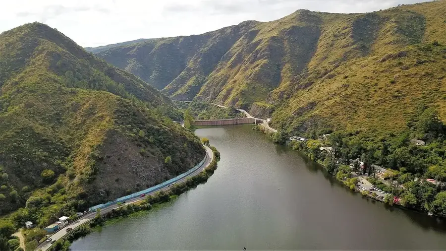
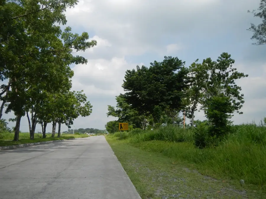
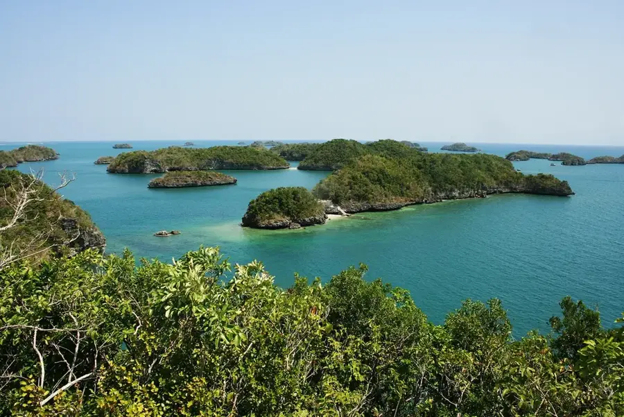
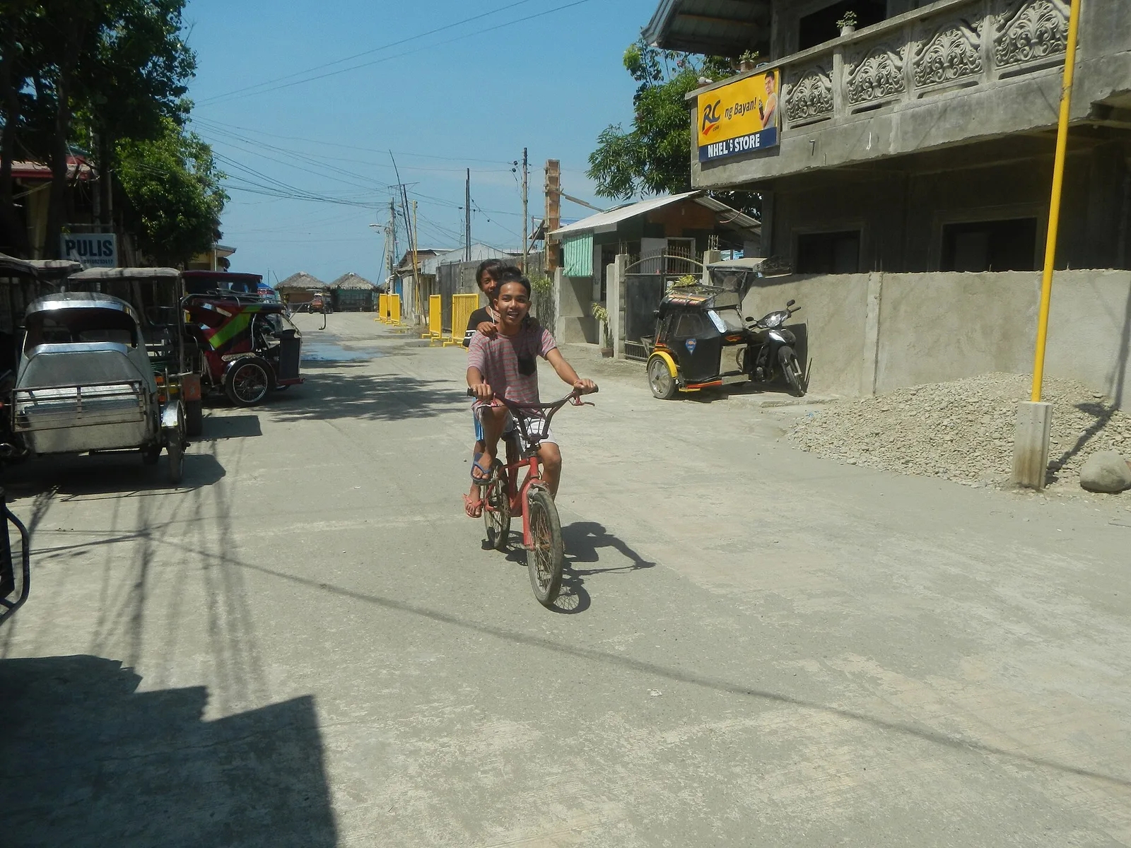
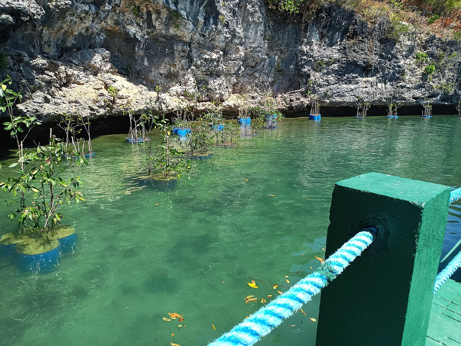
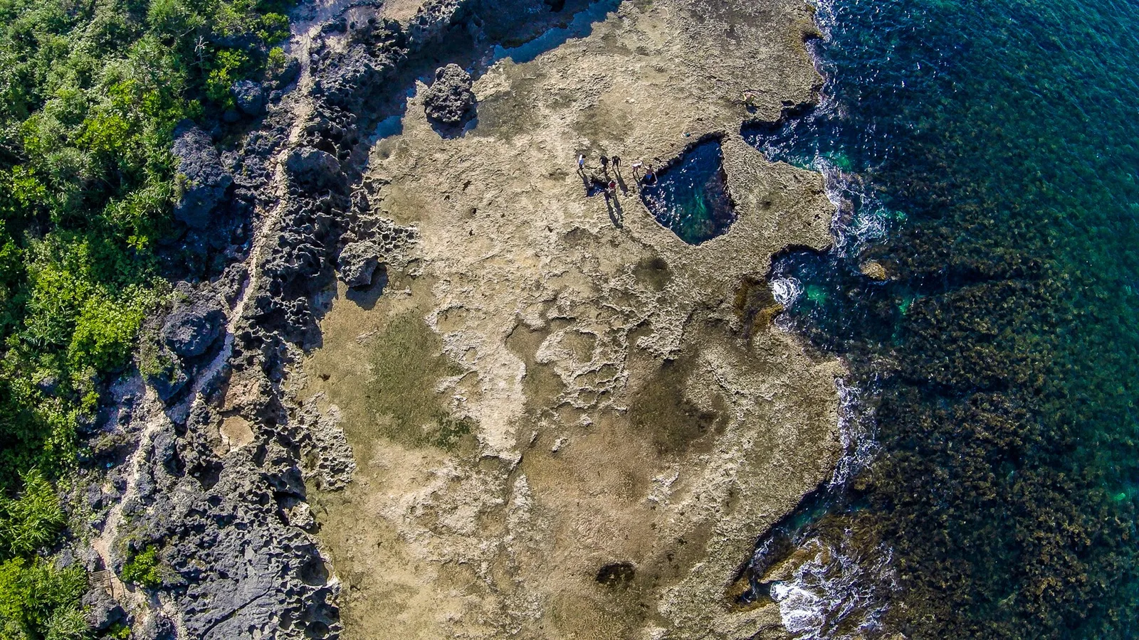
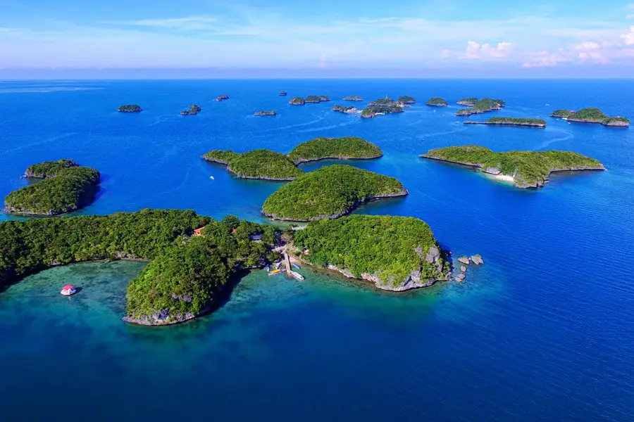
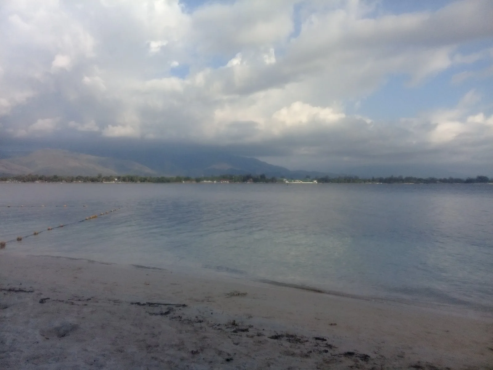
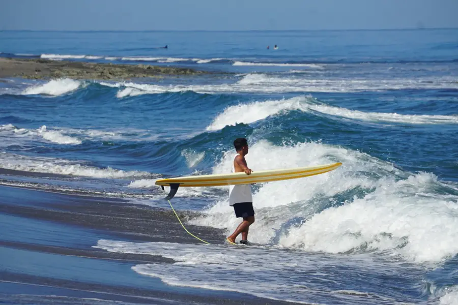
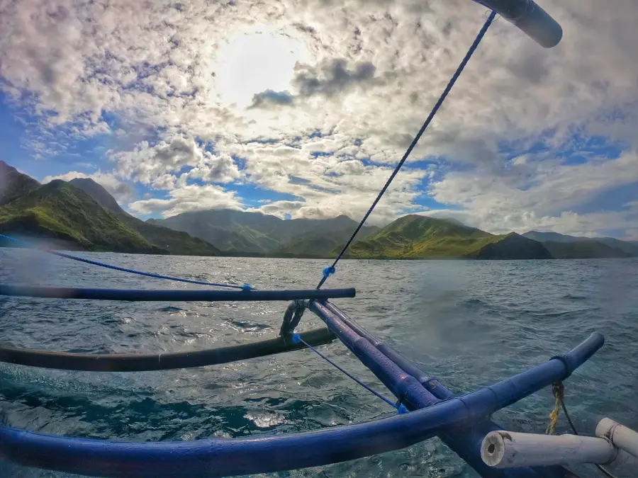
The Hundred Islands National Park is a protected area located in Alaminos, Pangasinan, in northern Philippines. It is the first national park in the country, established in 1940. The park is composed of 124 islands at low tide and 123 at high tide, scattered along the Lingayen Gulf. These islands are believed to be ancient coral reefs that became exposed due to falling sea levels, and they vary in size and shape. Only three islands have been developed for tourism: Governor's Island, Quezon Island, and Children's Island. The park has a wide range of activities such as island hopping, swimming, snorkeling, kayaking, and camping. Its clear waters are home to diverse marine life, including giant clams (Tridacna gigas) which are being conserved in the area. The unique 'mushroom-like' shape of many islands is due to erosion.
- Location: Philippines
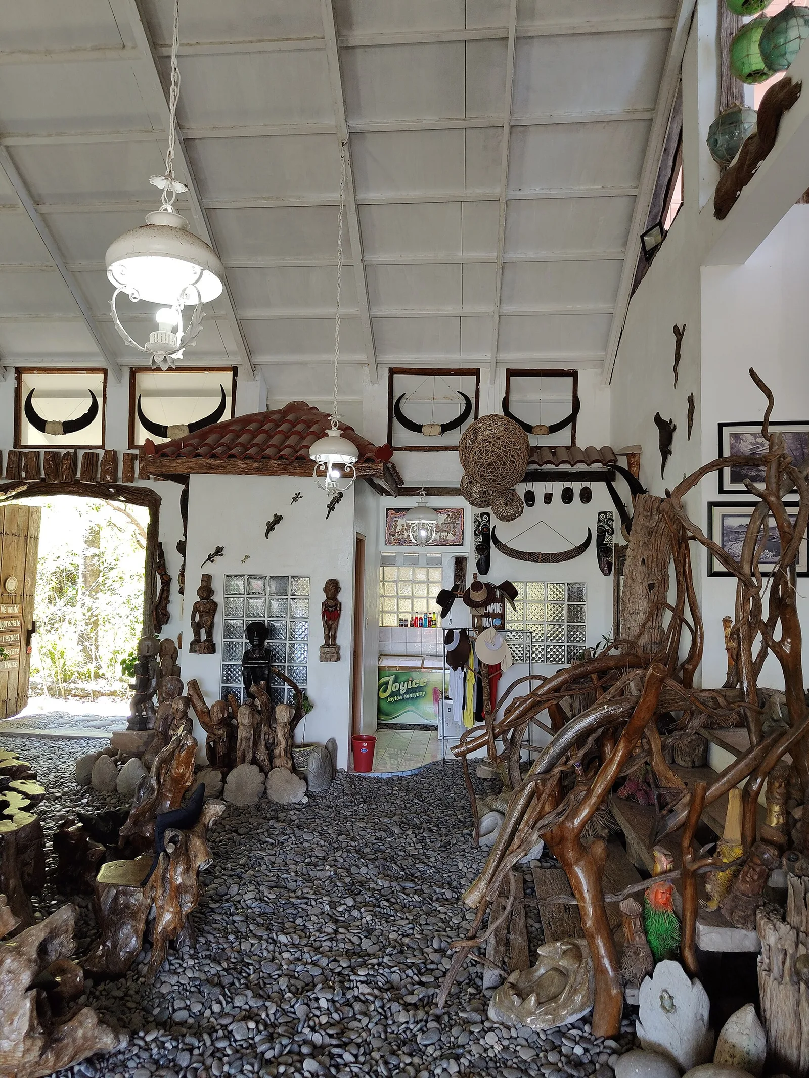
- Top sights: Welcome to Pangapisan arch · Welcome to Mona arch · Welcome to San Jose arch
- Nearby: Hundred Islands (Alaminos) (7 km)
Best time to visit & climate
The most pleasant time to visit is Jan, Feb, Dec.
| Jan | Feb | Mar | Apr | May | Jun | Jul | Aug | Sep | Oct | Nov | Dec | |
|---|---|---|---|---|---|---|---|---|---|---|---|---|
| Avg °C | 25 | 26 | 27 | 29 | 29 | 28 | 27 | 27 | 27 | 27 | 27 | 26 |
| Rain mm | 17 | 18 | 34 | 64 | 244 | 410 | 599 | 724 | 439 | 260 | 88 | 45 |
📋 Practical info
Geography
Facts
- Comprises 124 islands at low tide and 123 at high tide.
- Considered the first national park in the Philippines, established in 1940.
- The islands are ancient coral reefs that emerged to the surface.
- Only three islands have been developed for tourism.
- It hosts a conservation site for giant clams.
- The mushroom-like shape of the islands is due to erosion.
- The park covers an area of 16.76 square kilometers.
Explore nearby
Notable places around
Route planner — Car & Motorhome
Where do you start? We build the route here, with stops and country notes along the way.
© OpenStreetMap contributors · OpenRouteService
Sights in the town Hundred Islands National Park (6)
Sights nearby
Frequently asked questions
Are there really 100 islands?
What are the popular activities there?
How do you get around the islands?
Are there accommodations on the islands?
Is the best time to visit seasonal?
Hundred Islands National Park: where is it located?
Hundred Islands National Park: what is there to see?
Hundred Islands National Park: when is the best time to visit?
Hundred Islands National Park: why is it worth visiting?

Nearby cities


Nature
More places