Plizio Visual Lab
Mount Kanlaon

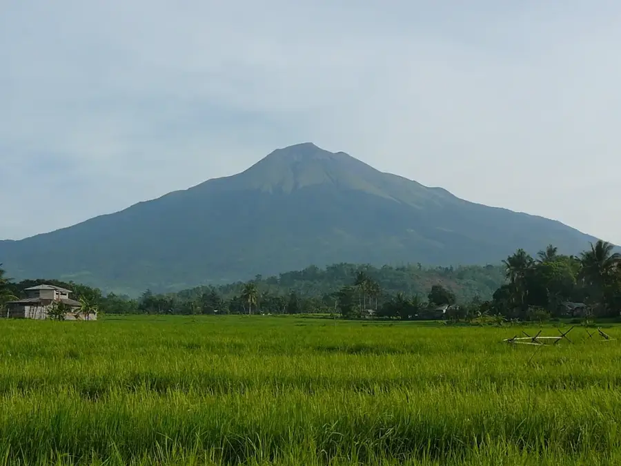
The relief of Mount Kanlaon is the most imposing mountain feature on Negros Island. As the highest peak in the Visayas (2,435 meters), it dominates the central highlands of the island. The mountain's geomorphology shows a complex structure of several old craters and an active summit crater. The slopes are marked by lava flows from past eruptions and deep erosional valleys. Kanlaon acts as a massive weather barrier, leading to significant differences in rainfall between the west and east sides of Negros. The relief is divided into different ecological zones, from dense montane rainforests to alpine grasslands near the smoking summit. Hot springs at its base testify to the thermal activity beneath the relief.
- Location: Philippines
- Top sights: Sulfur River · Overlooking Old Crater · Mount Kanlaon Natural Park
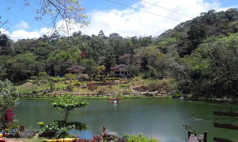
- Nearby: Mambukal (6 km)
Best time to visit & climate
The most pleasant time to visit is Jan–Mar.
| Jan | Feb | Mar | Apr | May | Jun | Jul | Aug | Sep | Oct | Nov | Dec | |
|---|---|---|---|---|---|---|---|---|---|---|---|---|
| Avg °C | 24 | 24 | 26 | 27 | 27 | 26 | 25 | 25 | 25 | 25 | 25 | 25 |
| Rain mm | 107 | 75 | 66 | 63 | 169 | 275 | 318 | 292 | 263 | 270 | 170 | 185 |
📋 Practical info
Geography
Facts
- The mountain is the centerpiece of the Mount Kanlaon Natural Park.
- It is the third most active volcano in the Philippines.
- Legend holds that the supreme god 'Kan-Laon' rules the volcano.
- The volcano has two craters: one active and one inactive.
- Its slopes are known for rich biodiversity, including the Visayan warty pig.
- It is a popular destination for mountaineers but requires a permit.
- The last phreatic eruption occurred in 2016.
Explore nearby
Notable places around
Route planner — Car & Motorhome
Where do you start? We build the route here, with stops and country notes along the way.
© OpenStreetMap contributors · OpenRouteService
Sights in the town Mount Kanlaon (8)
Sights nearby
Frequently asked questions
Is climbing the mountain difficult?
Do I need a permit?
When is the best season?
Is there parking at the trailhead?
Do you need to bring food?
Mount Kanlaon: where is it located?
Mount Kanlaon: what is there to see?
Mount Kanlaon: when is the best time to visit?
Mount Kanlaon: why is it worth visiting?

Nearby cities

History & landmarks
More places