Plizio Visual Lab
Mount Kanlaon
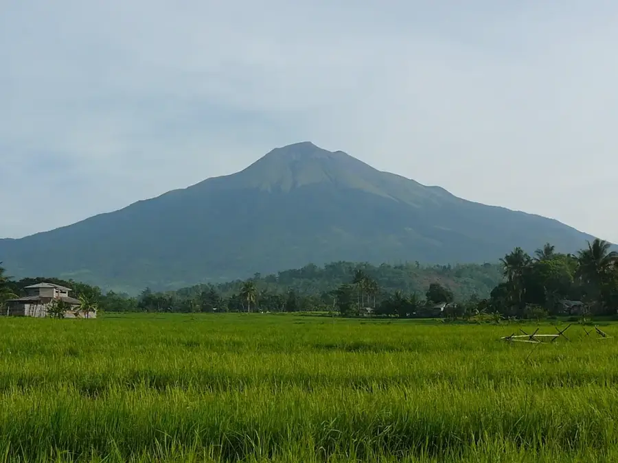
Mount Kanlaon, also spelled Kanla-on, is an active stratovolcano and the highest point on the island of Negros, as well as in the entire Visayas region, with an elevation of 2,465 meters. It is the centerpiece of Mount Kanlaon Natural Park, a protected area known for its rich biodiversity. The volcano is one of the most active in the Philippines, having erupted more than 30 times since 1819. It has a complex summit with several craters and a prominent caldera. For local communities, Mount Kanlaon is a place of cultural and spiritual significance, revered in folklore and home to various rituals. The park's forests are a habitat for a wide variety of wildlife, including several threatened and endemic species such as the Visayan Warty Pig and the Negros Bleeding-heart dove. Trekking to the summit is a popular but regulated activity, offering hikers a chance to experience its unique volcanic landscape.
- Location: Philippines
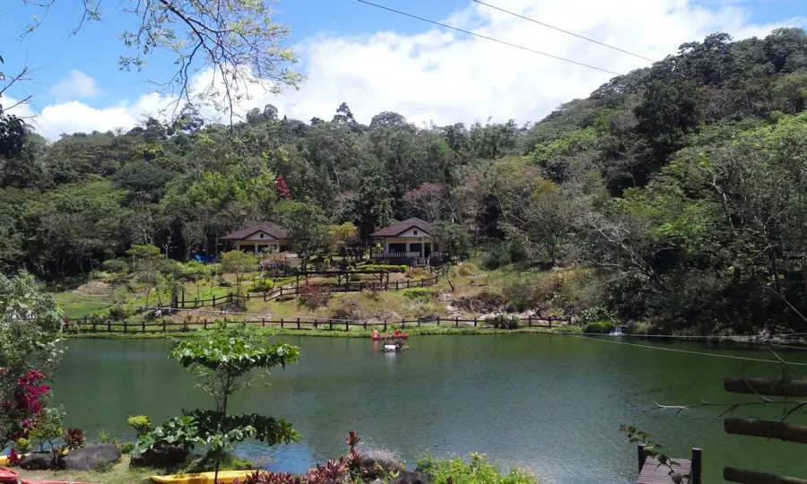
- Top sights: Cherry Blossom Trees · Mount Kanlaon and valley · Kanlaon
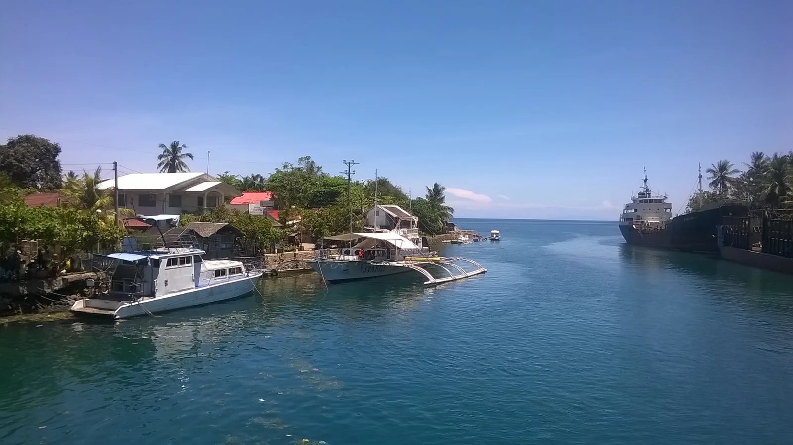
- Nearby: Mambukal (6 km)
Best time to visit & climate
The most pleasant time to visit is Jan–Mar.
| Jan | Feb | Mar | Apr | May | Jun | Jul | Aug | Sep | Oct | Nov | Dec | |
|---|---|---|---|---|---|---|---|---|---|---|---|---|
| Avg °C | 24 | 24 | 26 | 27 | 27 | 26 | 25 | 25 | 25 | 25 | 25 | 25 |
| Rain mm | 107 | 75 | 66 | 63 | 169 | 275 | 318 | 292 | 263 | 270 | 170 | 185 |
📋 Practical info
Geography
Facts
- The highest point in the Visayas region at 2,465 meters.
- One of the most active volcanoes in the Philippines.
- Has erupted more than 30 times since 1819.
- A spiritual place in local folklore and for rituals.
- Habitat for the endangered Visayan Warty Pig.
- The summit features multiple craters and a caldera.
- The surrounding area was declared a national park in 1934.
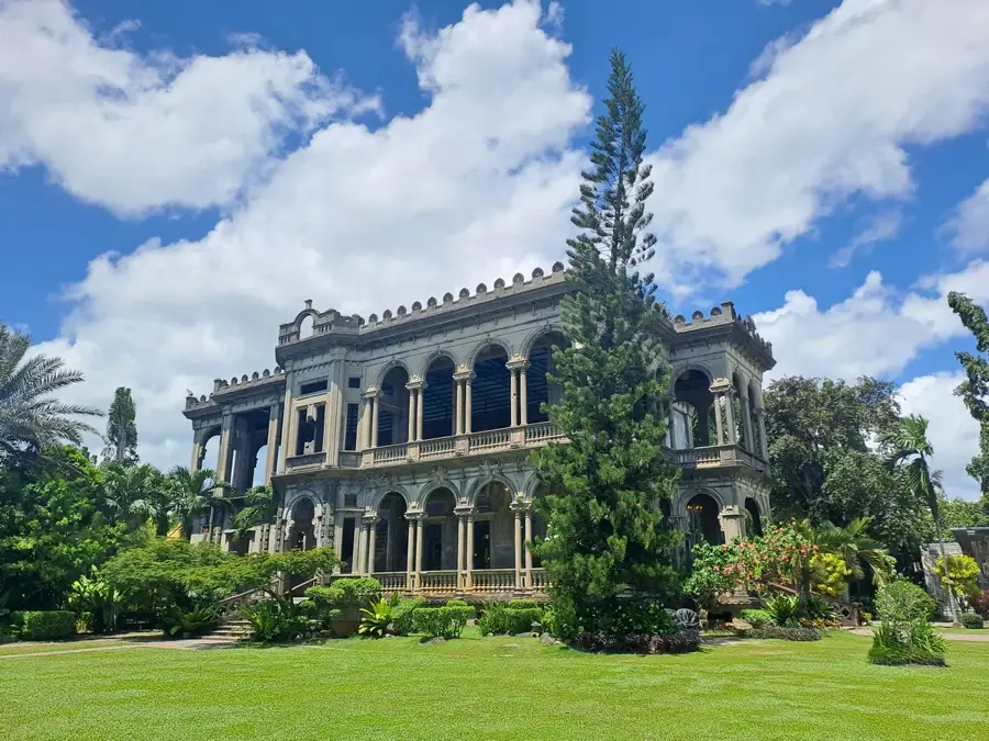
Explore nearby
Notable places around
Route planner — Car & Motorhome
Where do you start? We build the route here, with stops and country notes along the way.
© OpenStreetMap contributors · OpenRouteService
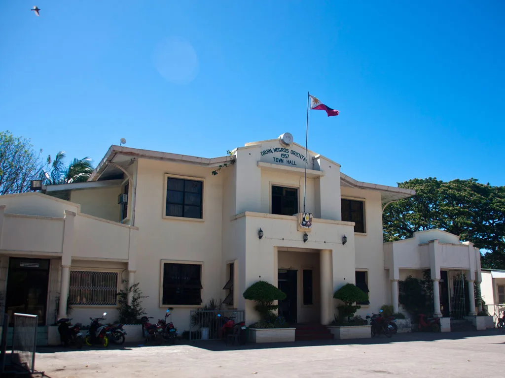
Sights in the town Mount Kanlaon (5)
Sights nearby
Frequently asked questions
Is Mount Kanlaon an active volcano?
Do I need a permit to hike?
How difficult is the climb?
When should you not go?
Are there accommodation options?
Mount Kanlaon: where is it located?
Mount Kanlaon: what is there to see?
Mount Kanlaon: when is the best time to visit?
Mount Kanlaon: why is it worth visiting?

Nearby cities

History & landmarks
More places