Plizio Visual Lab
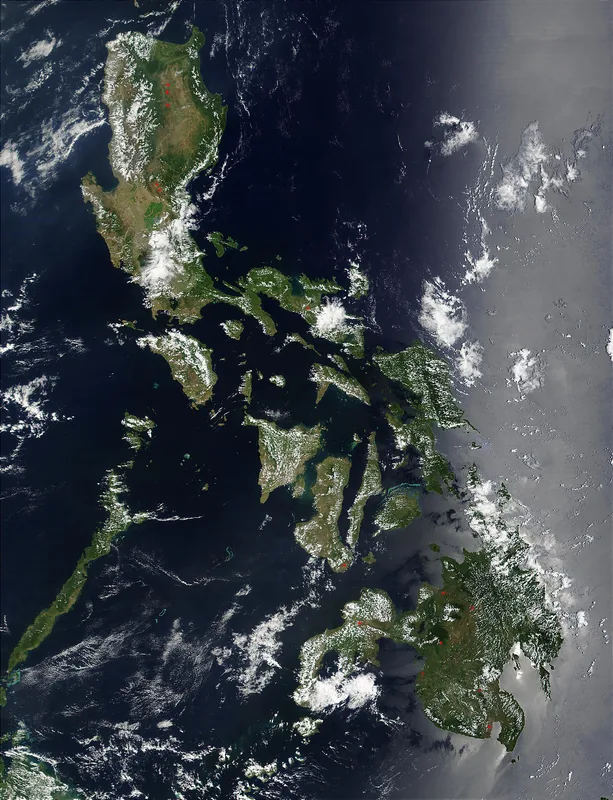
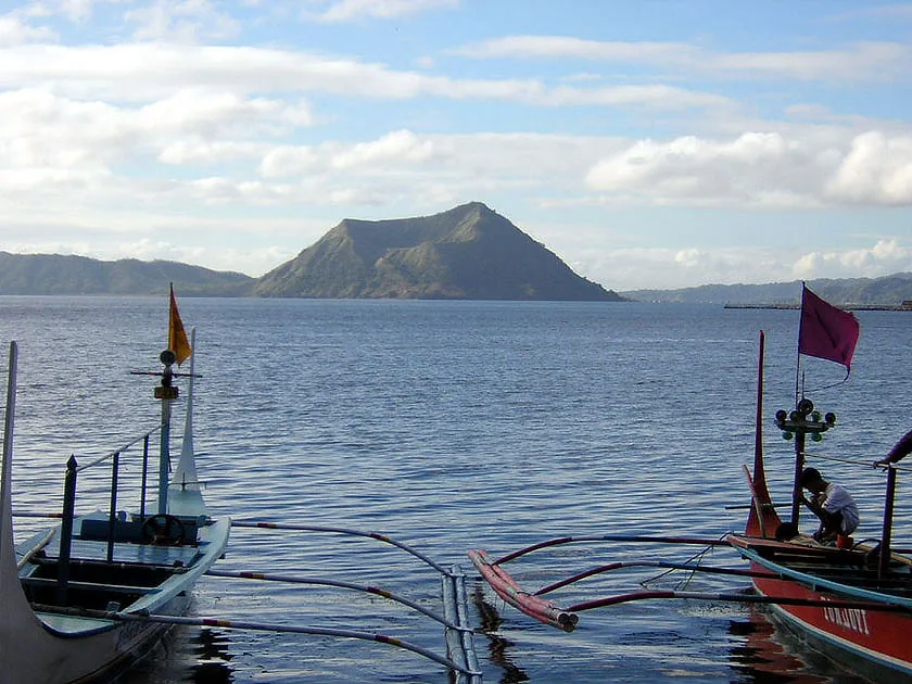
Taal Volcano

Weather…
Water temperature…
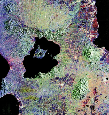
The relief of Taal Volcano is one of the most complex and unusual geological formations in the world. It consists of a huge caldera (Taal Lake), in the center of which rises Volcano Island. The island itself is a complex volcano with numerous craters and ash cones that bear witness to past eruptions. In the middle of the island is the main crater lake, which contains another small island. This 'island-in-a-lake-on-an-island-in-a-lake' relief is the result of a long series of explosive phreatomagmatic eruptions. The geomorphology is extremely unstable; the 2020 eruption massively altered the topography of Volcano Island through new ash deposits and ground deformation. Taal is a living example of the constant reshaping of the Earth's surface by volcanic forces.
- Location: Philippines
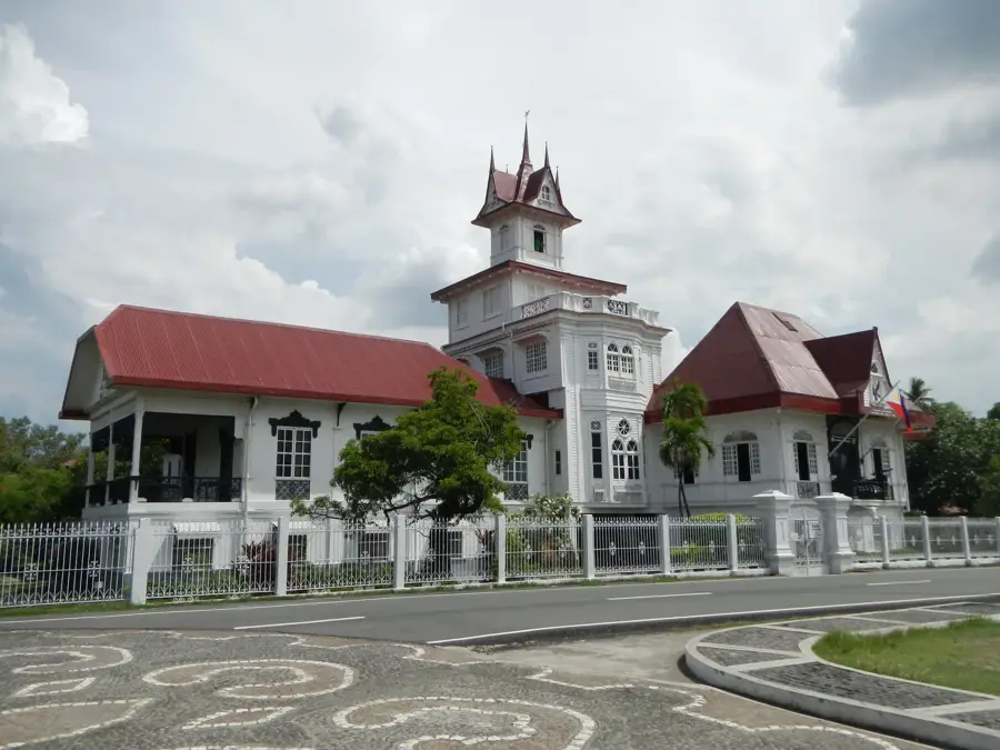
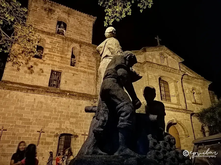
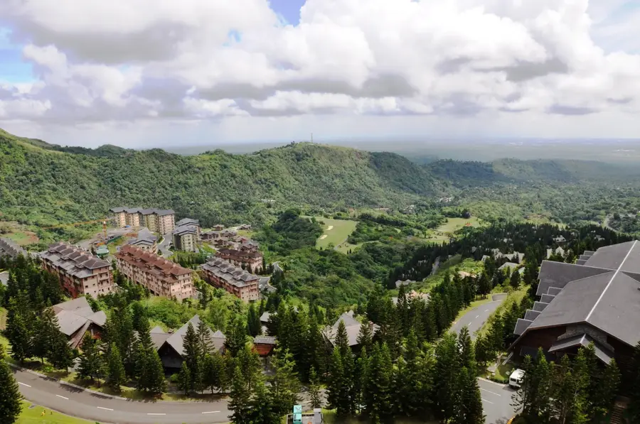
- Top sights: Mount Balantoc · Steam Stone · Tagaytay Taal Tourist Attraction
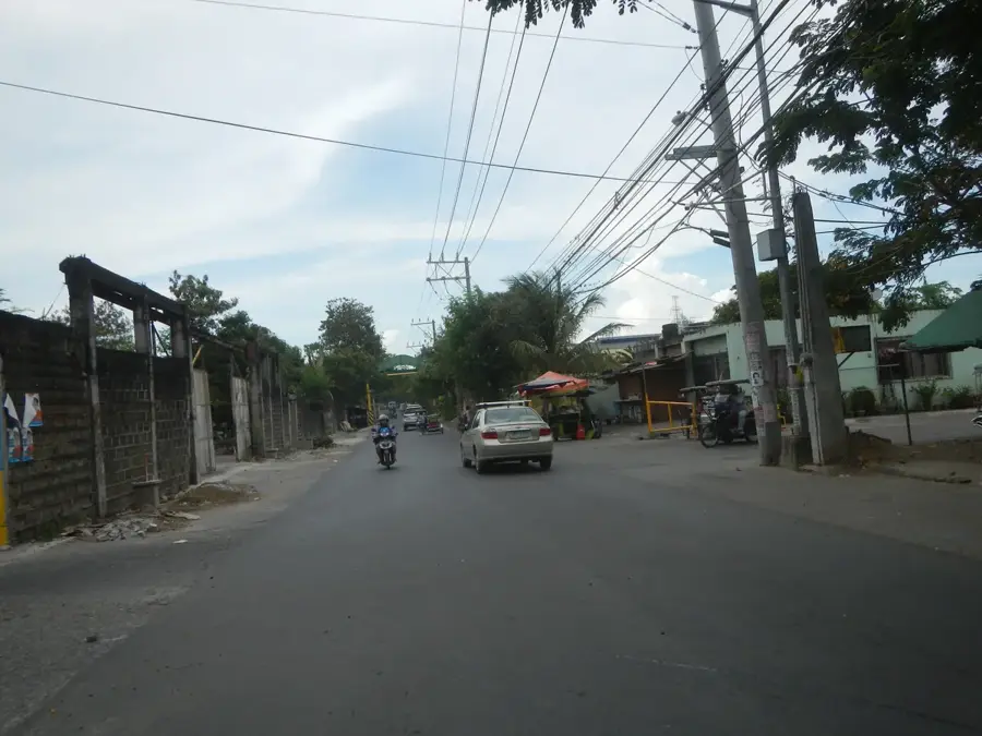
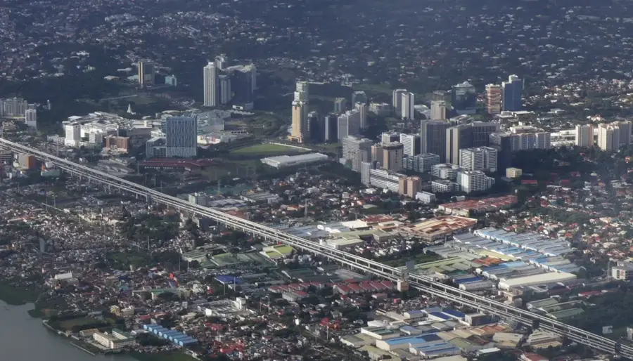
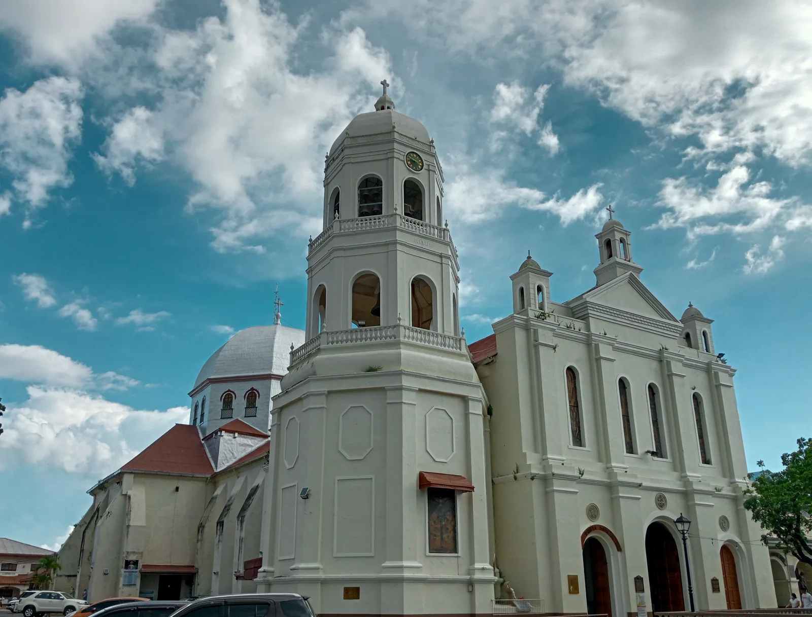
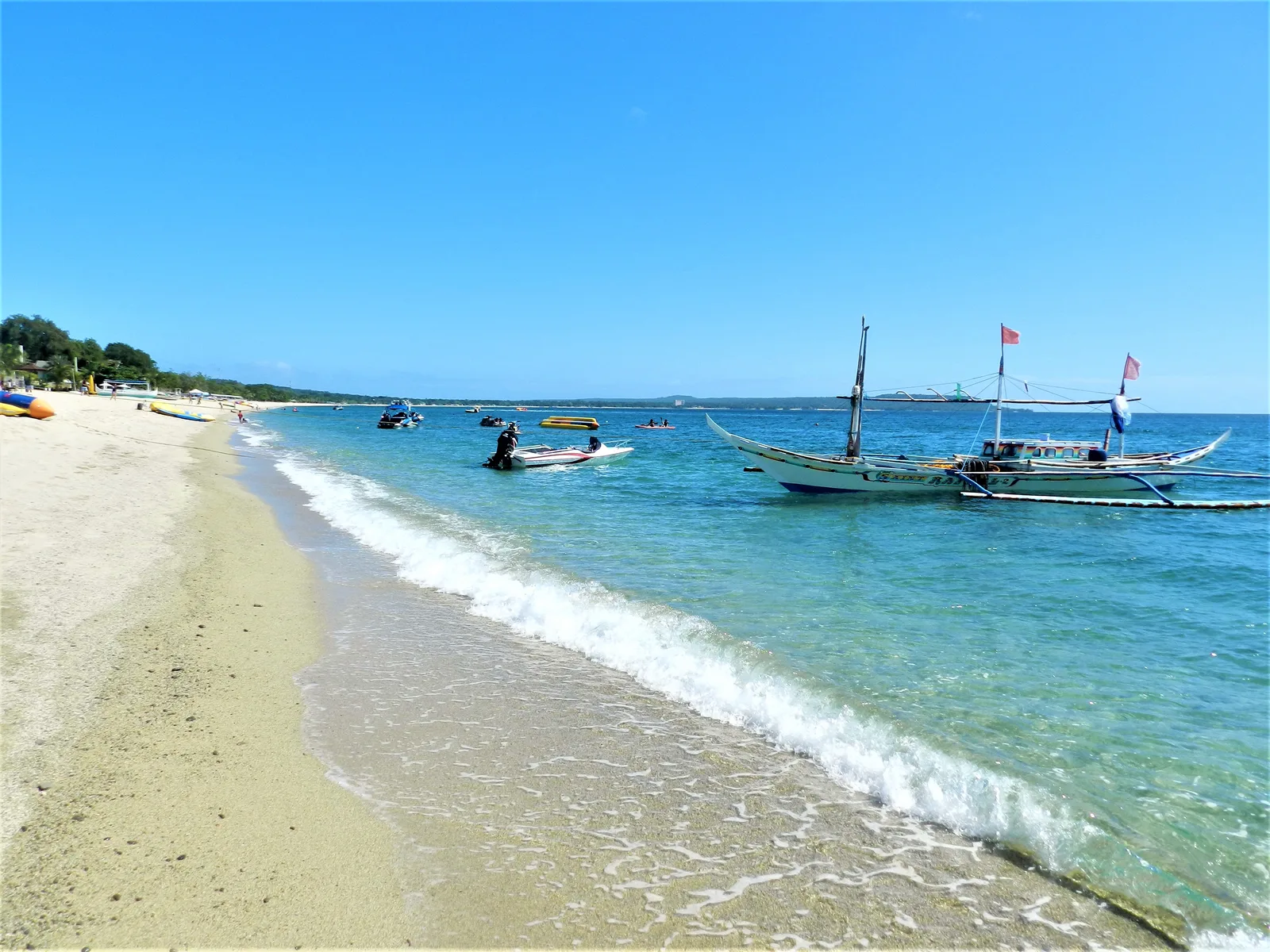
- Nearby: Lake Taal (Talisay) (6 km)
Best time to visit & climate
The most pleasant time to visit is Jan–Mar.
| Jan | Feb | Mar | Apr | May | Jun | Jul | Aug | Sep | Oct | Nov | Dec | |
|---|---|---|---|---|---|---|---|---|---|---|---|---|
| Avg °C | 24 | 24 | 25 | 27 | 28 | 27 | 27 | 26 | 26 | 26 | 25 | 25 |
| Rain mm | 144 | 134 | 105 | 91 | 163 | 245 | 283 | 238 | 272 | 335 | 351 | 388 |
📋 Practical info
Geography
Facts
- It is the second most active volcano in the Philippines.
- Part of a larger prehistoric volcano that was once one of the tallest peaks in the world.
- The main crater lake was once known for being highly acidic.
- The 2020 eruption forced the evacuation of tens of thousands of people.
- Despite its danger, people inhabit Volcano Island.
- Vulcan Point in the Main Crater Lake is the world's largest island in a lake on an island in a lake.
- The caldera was formed by a massive prehistoric eruption between 100,000 and 500,000 years ago.
Explore nearby
Notable places around
Route planner — Car & Motorhome
Where do you start? We build the route here, with stops and country notes along the way.
© OpenStreetMap contributors · OpenRouteService
Sights in the town Taal Volcano (6)
Sights nearby
Frequently asked questions
Is Taal safe to visit?
What makes it special?
How do I get there?
Do I need a guide?
Are there viewpoints?
Taal Volcano: where is it located?
Taal Volcano: what is there to see?
Taal Volcano: when is the best time to visit?
Taal Volcano: why is it worth visiting?

Nearby cities


Nature
More places