Plizio Visual Lab
Taal Lake
Weather…
Water temperature…
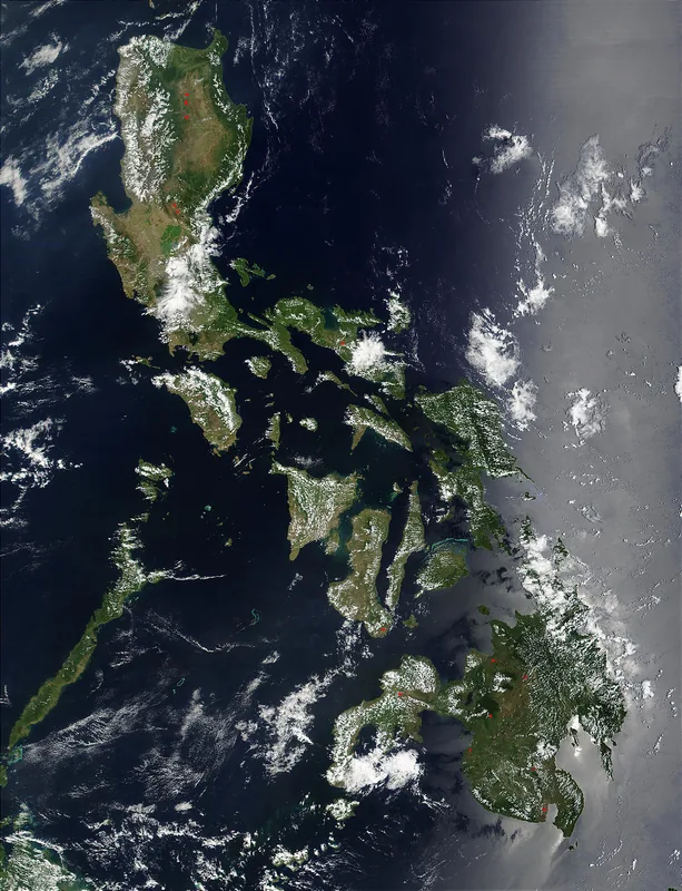
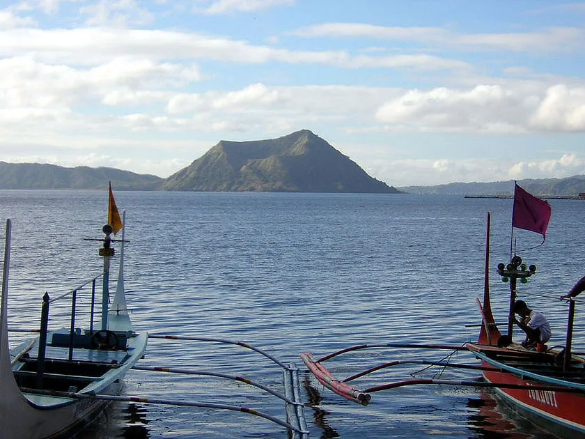
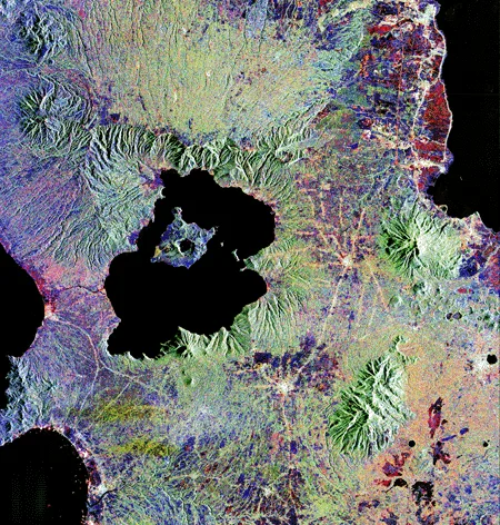
Taal Lake in Batangas province on Luzon island is one of the most geographically complex freshwater bodies in the Philippines, filling the vast Taal Caldera. This caldera was formed by massive volcanic eruptions occurring between 500,000 and 100,000 years ago. At the lake's center lies Volcano Island, which hosts the active Taal Volcano. A unique geological feature is the crater lake within this island, which in turn contains a tiny rock island called Vulcan Point. The lake is famous for its unique biodiversity, including the world's only freshwater sea snake, Hydrophis semperi, and the freshwater sardine Sardinella tawilis. Reaching depths of up to 160 meters, it is the third largest lake in the archipelago. The surrounding region is highly fertile due to volcanic soil, though it remains under constant surveillance by volcanologists. The interplay of tectonic activity and a specialized ecosystem makes Taal Lake a significant site for scientific study and tourism.
- Location: Philippines
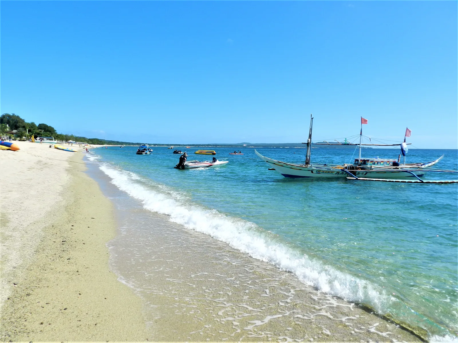
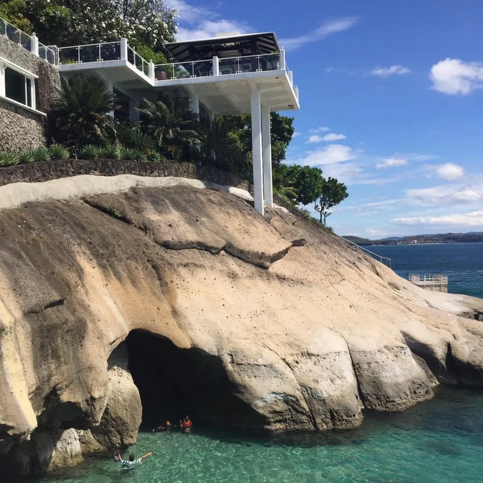
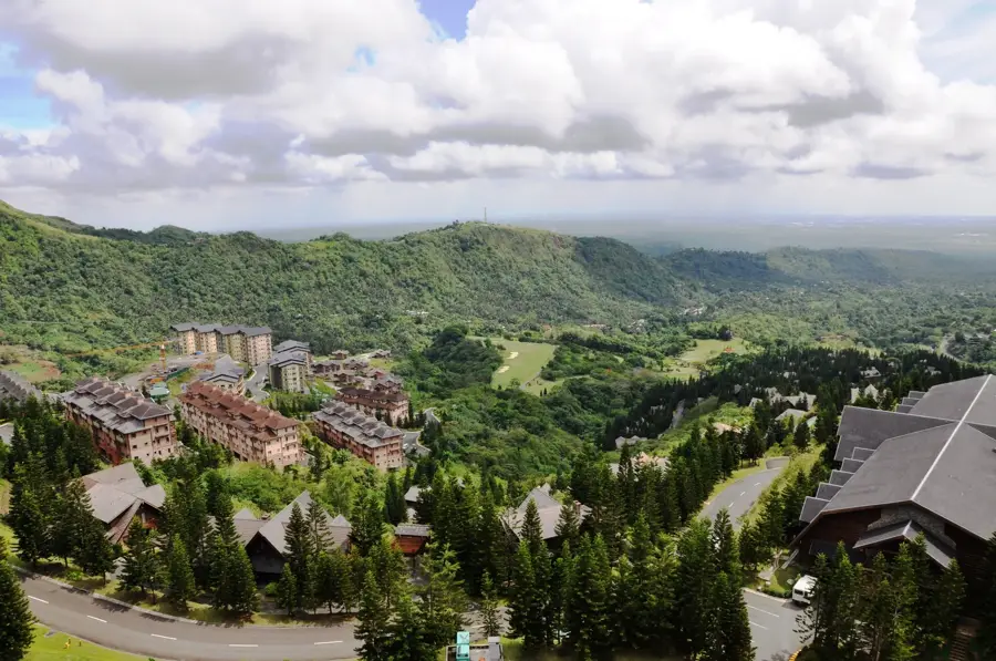
- Top sights: Mount Tabaro · Viewdeck · Taal Crater East Viewpoint
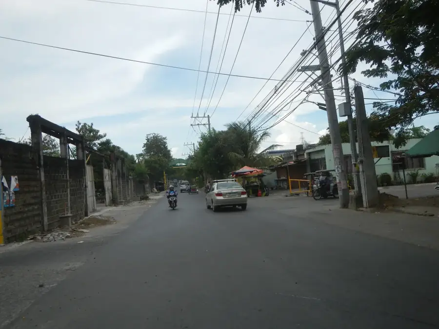
- Nearby: Lake Taal (Talisay) (6 km)
Best time to visit & climate
The most pleasant time to visit is Jan–Mar.
| Jan | Feb | Mar | Apr | May | Jun | Jul | Aug | Sep | Oct | Nov | Dec | |
|---|---|---|---|---|---|---|---|---|---|---|---|---|
| Avg °C | 24 | 24 | 25 | 27 | 28 | 27 | 27 | 26 | 26 | 26 | 25 | 25 |
| Rain mm | 144 | 134 | 105 | 91 | 163 | 245 | 283 | 238 | 272 | 335 | 351 | 388 |
📋 Practical info
Geography
Facts
- The lake covers a total surface area of about 234 square kilometers.
- Reaches a maximum depth of approximately 160 meters.
- Home to the rare freshwater sea snake, Hydrophis semperi.
- The caldera measures roughly 25 kilometers in diameter.
- Was originally an inlet of the sea before a major 1754 eruption.
- Vulcan Point is a world-renowned example of nested island geography.
Explore nearby
Notable places around
Route planner — Car & Motorhome
Where do you start? We build the route here, with stops and country notes along the way.
© OpenStreetMap contributors · OpenRouteService
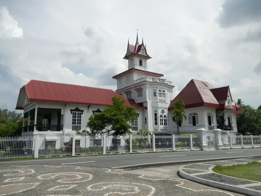
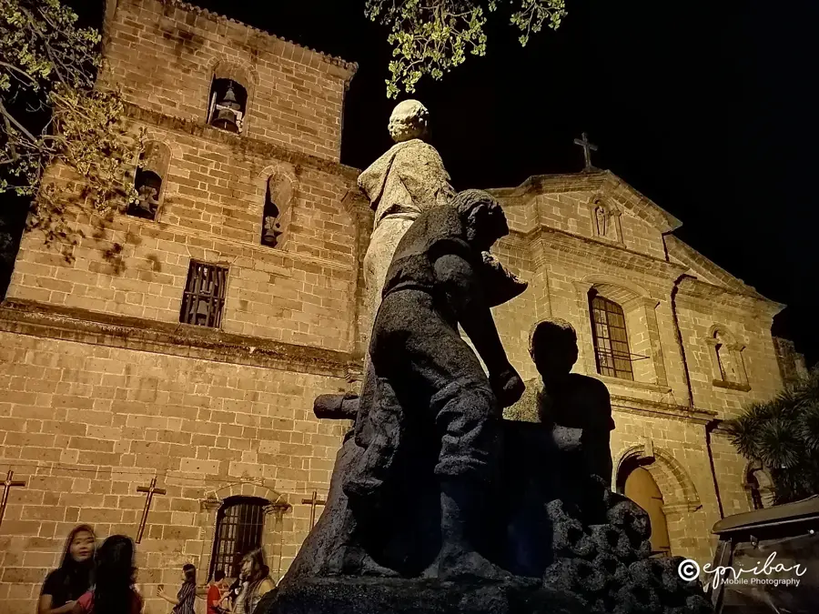
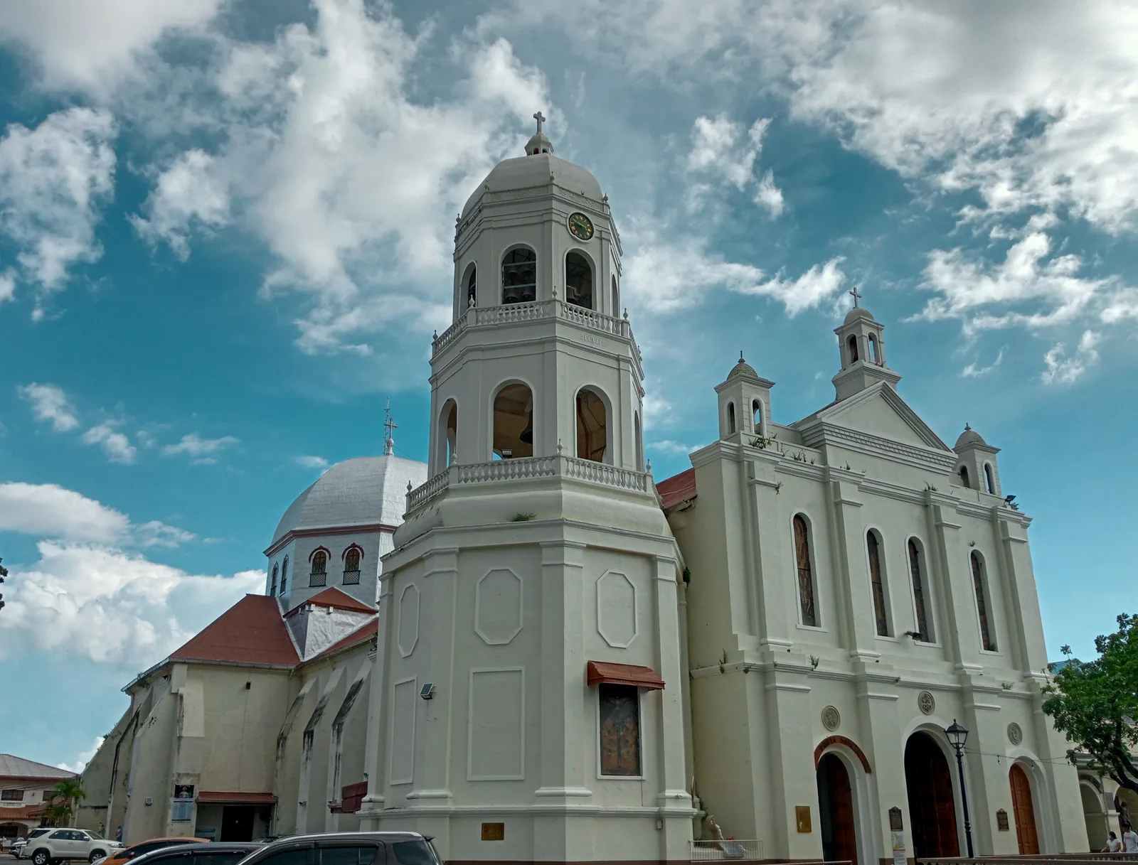
Sights in the town Taal Lake (6)
Sights nearby
Frequently asked questions
How do you get to Taal Lake?
Is the volcano in the lake currently active?
What is the best activity at the lake?
Are there boat tours on the lake?
Is the food good there?
Taal Lake: where is it located?
Taal Lake: what is there to see?
Taal Lake: when is the best time to visit?
Taal Lake: why is it worth visiting?

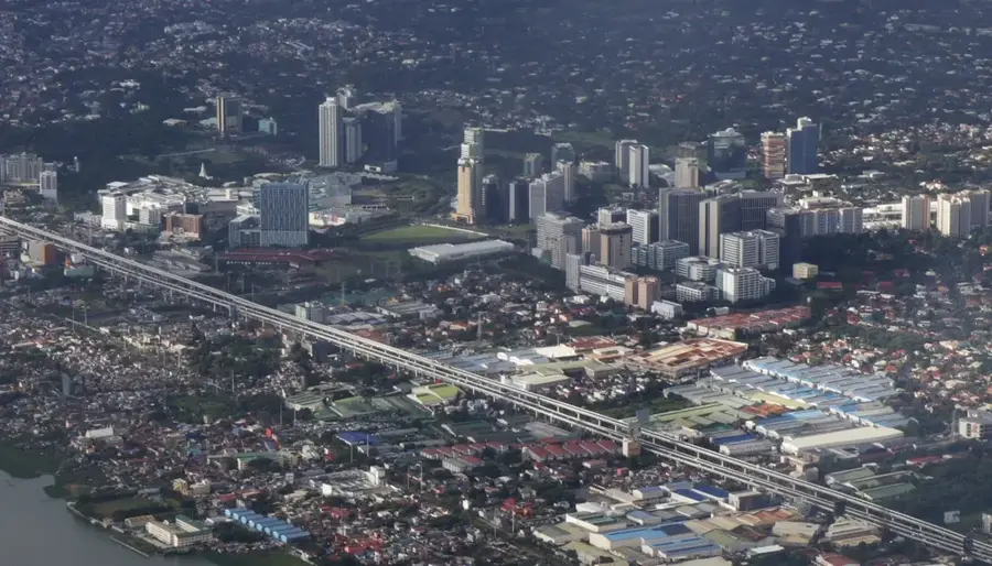
Nearby cities


More places