Plizio Visual Lab
Santa Fé National Park
Weather…
Water temperature…
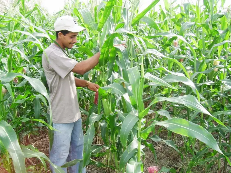
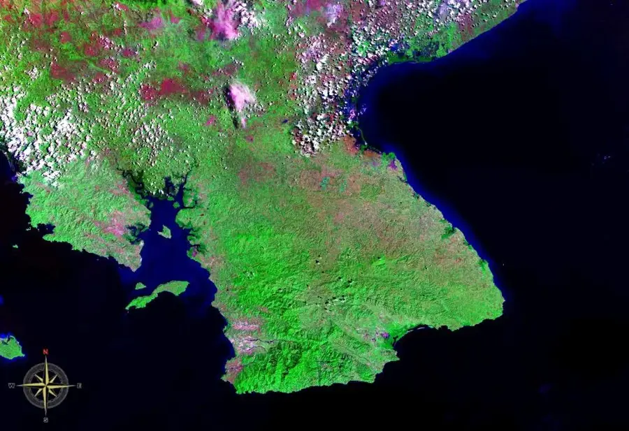
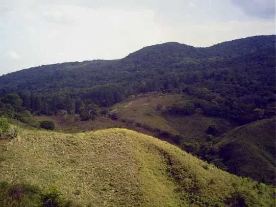
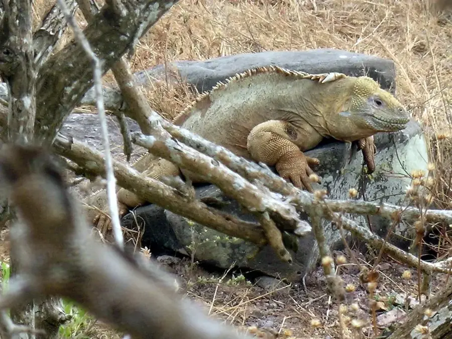
Santa Fé National Park spans approximately 700 square kilometers in the Veraguas Province of central Panama, established in 2001 to preserve the pristine cloud forests of the Cordillera Central. The park is characterized by its rugged mountainous terrain, lush primary forests, and a significant number of waterfalls, with the Bermejo Falls being a prominent natural attraction. It is botanically significant for housing over 300 species of orchids, which thrive in the cool, high-altitude humidity of the region. This protected area serves as a critical biological corridor, connecting wildlife habitats between the Pacific and Caribbean slopes of the Isthmus. Birdwatchers frequent the area to spot rare species like the Resplendent Quetzal and the Three-wattled Bellbird. The nearby town of Santa Fé supports the park through sustainable ecotourism initiatives and organic coffee production, maintaining a balance between local development and environmental conservation.
- Location: Panama
- Nearby: Santiago de Veraguas (15 km)
Best time to visit & climate
The most pleasant time to visit is Jan–Mar.
| Jan | Feb | Mar | Apr | May | Jun | Jul | Aug | Sep | Oct | Nov | Dec | |
|---|---|---|---|---|---|---|---|---|---|---|---|---|
| Avg °C | 24 | 24 | 25 | 26 | 25 | 25 | 25 | 25 | 25 | 24 | 24 | 24 |
| Rain mm | 20 | 11 | 20 | 96 | 251 | 211 | 209 | 223 | 246 | 252 | 250 | 88 |
📋 Practical info
Geography
Facts
- The national park was officially established by Decree No. 147 in February 2001.
- It is home to more than 300 documented species of orchids in its cloud forests.
- The highest elevations within the park boundaries reach approximately 1,500 meters.
- Roughly 95% of the park's territory is covered by dense primary rainforest.
- The average annual temperature remains around 20 degrees Celsius due to the altitude.
- The headwaters of the Santa Maria River are located within the park's protected boundaries.
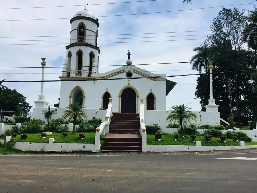
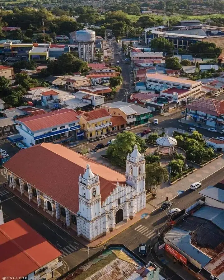
Explore nearby
Notable places around
Route planner — Car & Motorhome
Where do you start? We build the route here, with stops and country notes along the way.
© OpenStreetMap contributors · OpenRouteService
Sights nearby
Frequently asked questions
What hiking opportunities are there?
Is a guide necessary in the park?
How do you get to Santa Fé?
Is there accommodation nearby?
What is the best time to visit?
Santa Fé National Park: where is it located?
Santa Fé National Park: when is the best time to visit?
Santa Fé National Park: why is it worth visiting?

Nearby cities

Nature
More places