Plizio Visual Lab
Cerro Tute

Weather…
Water temperature…
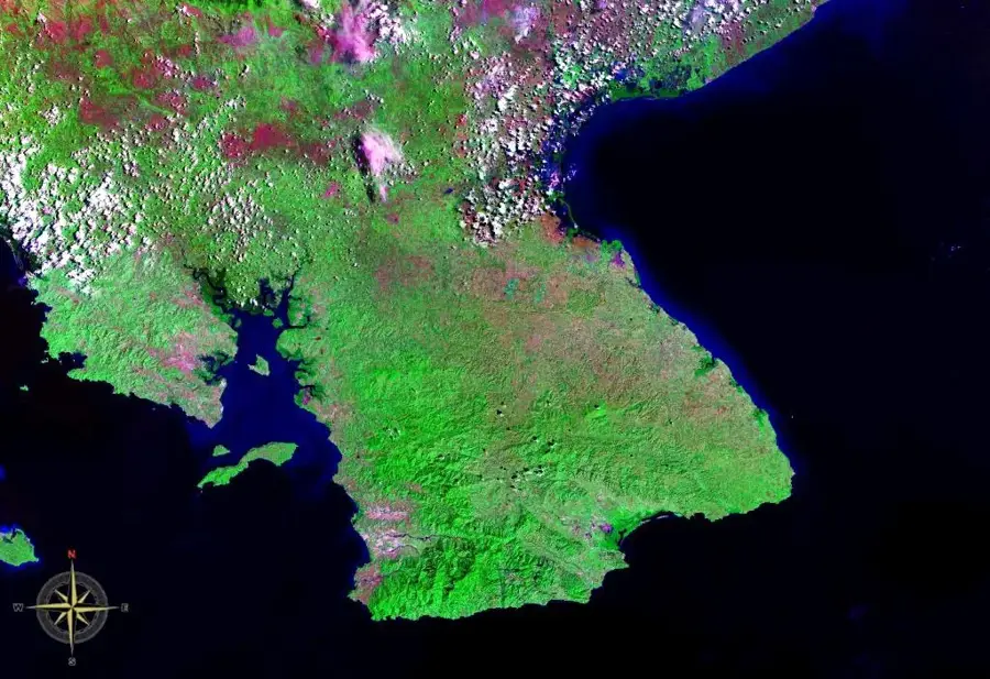
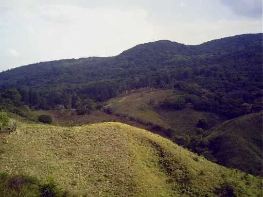
Cerro Tute is a prominent mountain peak in the province of Veraguas, near Santa Fé National Park. The peak is one of the highest points in the area, offering a 360-degree panorama of the surrounding mountains, valleys, and on a clear day, even the coastlines of both oceans. The hike to the mountain is challenging, on steep trails that cross dense tropical forest and cloud forest. The area's biodiversity is remarkable, hosting numerous bird species, including the rare quetzal. Cerro Tute and its surroundings are an important watershed area, feeding the region's rivers. The mountain is not only popular among hikers and nature lovers, but also has significance in local culture, often appearing in local legends and stories.
- Location: Panama
- Nearby: Santa Fé (6 km)
Best time to visit & climate
The most pleasant time to visit is Jan–Mar.
| Jan | Feb | Mar | Apr | May | Jun | Jul | Aug | Sep | Oct | Nov | Dec | |
|---|---|---|---|---|---|---|---|---|---|---|---|---|
| Avg °C | 24 | 24 | 25 | 26 | 25 | 25 | 25 | 25 | 25 | 24 | 24 | 24 |
| Rain mm | 20 | 11 | 20 | 96 | 251 | 211 | 209 | 223 | 246 | 252 | 250 | 88 |
📋 Practical info
Geography
Facts
- One of the highest points in Veraguas province.
- Located near Santa Fé National Park.
- On clear days, both oceans can be seen from the summit.
- The hiking trail is steep and challenging.
- It is home to the rare quetzal bird.
- An important regional watershed area.
- Plays a significant role in local folklore.
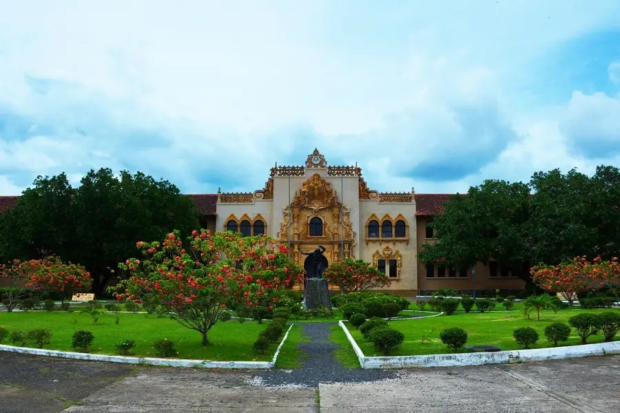
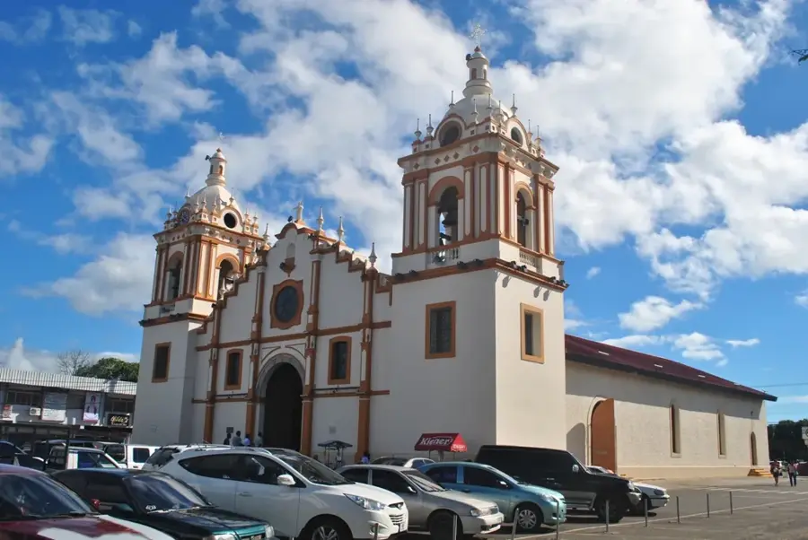
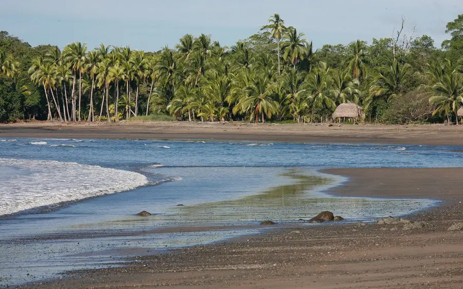
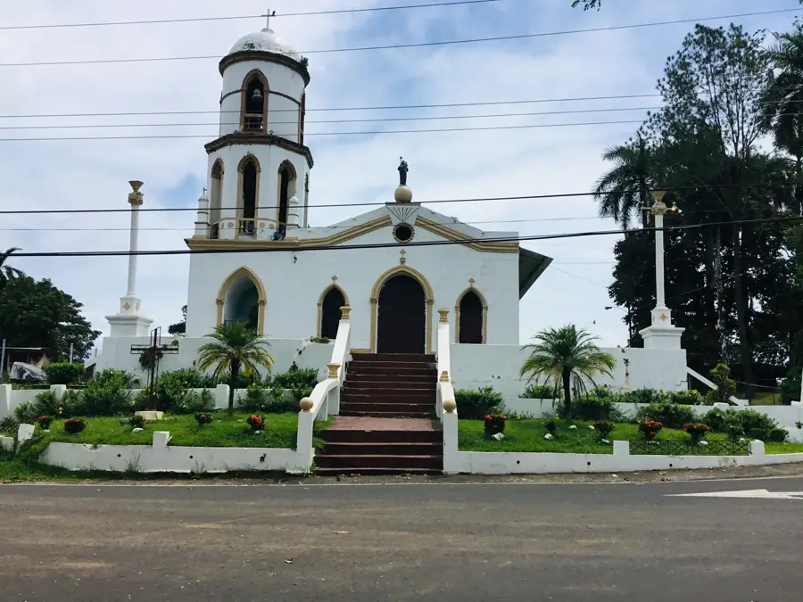
Explore nearby
Notable places around
Route planner — Car & Motorhome
Where do you start? We build the route here, with stops and country notes along the way.
© OpenStreetMap contributors · OpenRouteService
Sights nearby
Frequently asked questions
How long does the hike to the summit take?
Is the trail suitable for children?
What is the best time of day?
Is there a water source on the trail?
Is registration required?
Cerro Tute: where is it located?
Cerro Tute: when is the best time to visit?
Cerro Tute: why is it worth visiting?

Nearby cities

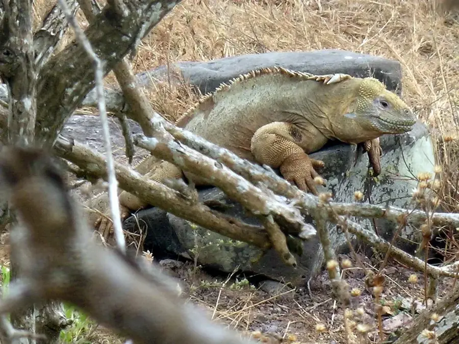
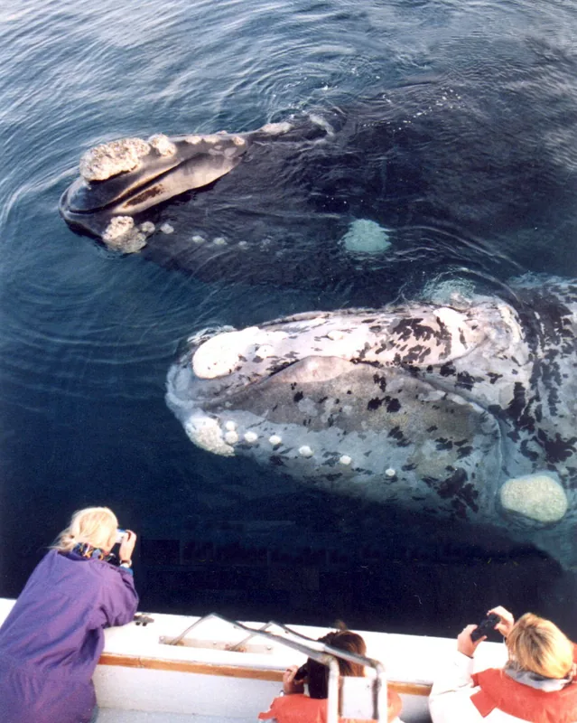
Nature

More places