Plizio Visual Lab
Chiriquí Highlands (Tierras Altas)

ℹ️Practical info — Chiriquí Highlands (Tierras Altas)
▾
🌤 Weather — 5 days
📍 Nearby
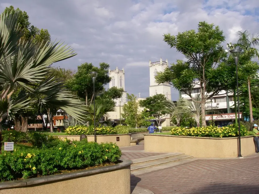
Sights nearby
Water temperature…
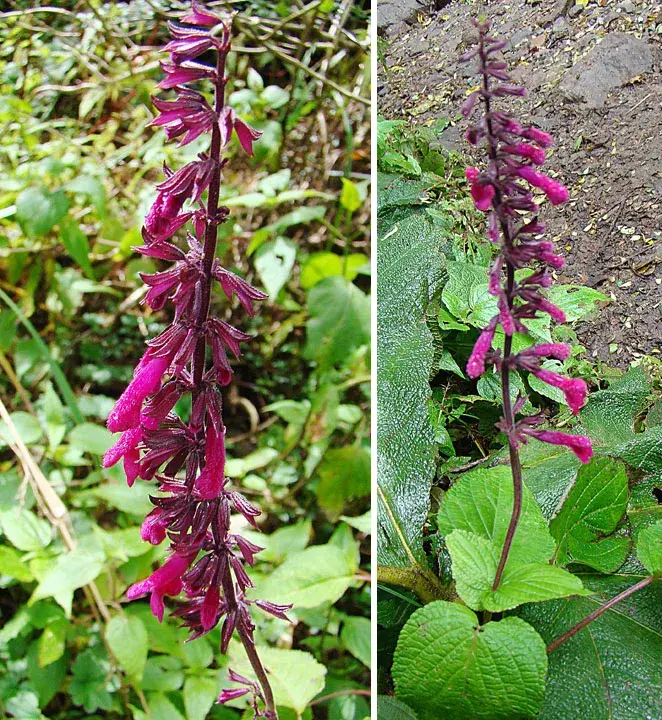
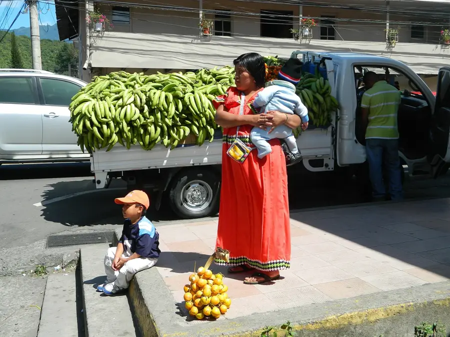
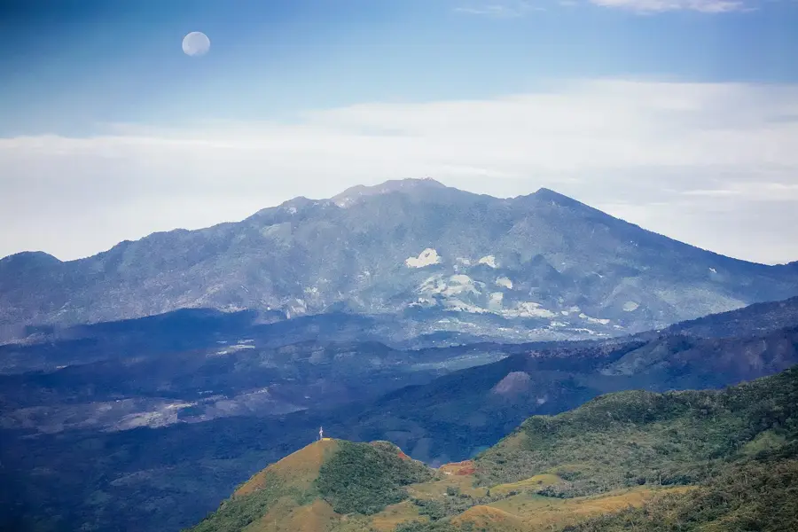
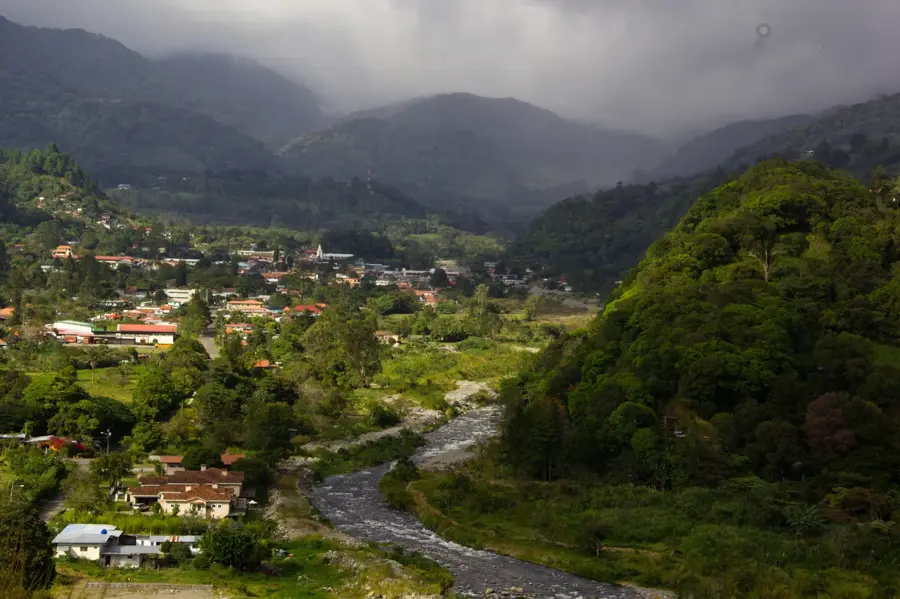
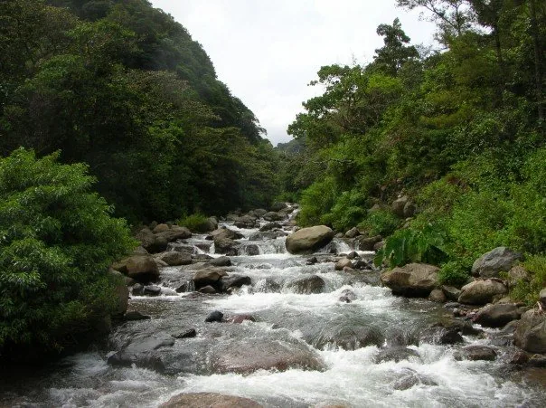
The Chiriquí Highlands, widely known as 'Tierras Altas', represent the agricultural soul and mountainous heart of Panama. Perched along the slopes of the Talamanca Range and the dormant Volcán Barú, this region gives a refreshing 'eternal spring' climate. Travelers visit to immerse themselves in world-class coffee culture and explore some of the most biodiverse cloud forests in Central America. The natural landscape is shaped by fertile volcanic soil, supporting vast plantations of citrus, strawberries, and the world-renowned Geisha coffee. For hikers, the Los Quetzales trail connects the towns of Volcán and Boquete, offering a chance to see the elusive Resplendent Quetzal. Gastronomy in towns like Cerro Punta focuses on farm-to-table freshness, featuring local cheeses and unique highland desserts. Reaching the highlands is straightforward via the city of David. From David, a modern highway leads up into the mountains in about 45 to 60 minutes. David is easily accessible by air from Panama City or by bus via the Pan-American Highway. Within the highlands, a 4x4 vehicle is useful for accessing remote coffee fincas and trailhead starts. The best time to visit is during the dry season from December to March for the clearest mountain views. However, the region’s mist and lush greenery are enchanting year-round. Don't miss the local flower and coffee festivals held in January, which showcase the incredible botanical diversity of the region.
- Location: Panama
- Top sights: Tierras Altas District · Volcán, Panama
- Nearby: Concepción, Bugaba (5 km)
- Population: ~10.286 (2023)
Best time to visit & climate
The most pleasant time to visit is Jan–Mar.
| Jan | Feb | Mar | Apr | May | Jun | Jul | Aug | Sep | Oct | Nov | Dec | |
|---|---|---|---|---|---|---|---|---|---|---|---|---|
| Avg °C | 22 | 22 | 23 | 23 | 23 | 23 | 23 | 23 | 23 | 23 | 22 | 22 |
| Rain mm | 86 | 48 | 64 | 115 | 279 | 238 | 281 | 256 | 222 | 281 | 311 | 148 |
Geography
Facts
- Global home of the Geisha coffee bean
- Located at the foot of Volcán Barú
- Coldest region in all of Panama
- Panama's primary vegetable-growing area
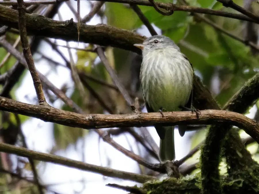
- Natural habitat of the Resplendent Quetzal
- Major hub for international flower exports
- A paradise for hikers and rock climbers
- Both oceans visible from the volcano summit
Explore nearby
Notable places around
Route planner — Car & Motorhome
Where do you start? We build the route here, with stops and country notes along the way.
© OpenStreetMap contributors · OpenRouteService
Sights in the town Chiriquí Highlands (Tierras Altas) (2)
Frequently asked questions
Chiriquí Highlands (Tierras Altas): where is it located?
Chiriquí Highlands (Tierras Altas): what is there to see?
Chiriquí Highlands (Tierras Altas): when is the best time to visit?
Chiriquí Highlands (Tierras Altas): why is it worth visiting?

Nearby cities


Nature
More places