Plizio Visual Lab
Mount 'Aziur
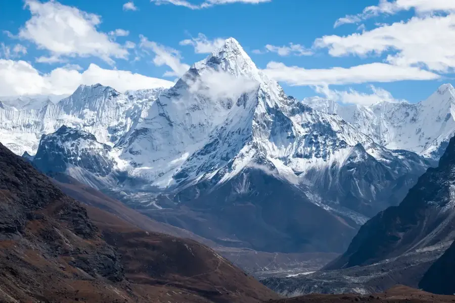
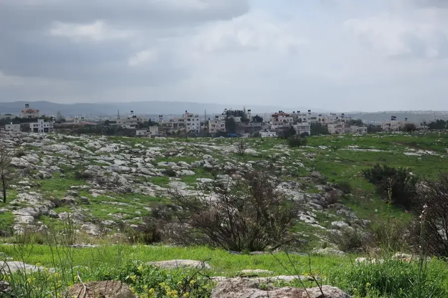
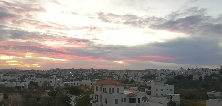
Mount 'Aziur is one of the highest peaks in the Hebron Hills, rising to an elevation of over 1,000 meters above sea level. As part of the southern Judean Mountains, it serves as a prominent landmark that defines the regional horizon with its massive rocky plateaus. The mountain experiences a significantly cooler climate than the surrounding lowlands, often seeing frost or occasional snowfall during the winter months. Its summit provides some of the most expansive panoramic views in Palestine; on clear days, one can see as far as the Mediterranean coastal plain to the west and the Dead Sea to the east. The terrain is characterized by rugged limestone formations and resilient alpine vegetation, while the lower slopes are often adorned with traditional stone-walled terraces and ancient olive groves. Mount 'Aziur is a favored destination for hikers and nature enthusiasts looking for fresh mountain air and a chance to witness the dramatic topography of the southern Hebron region.
- Location: Palestinian Territories
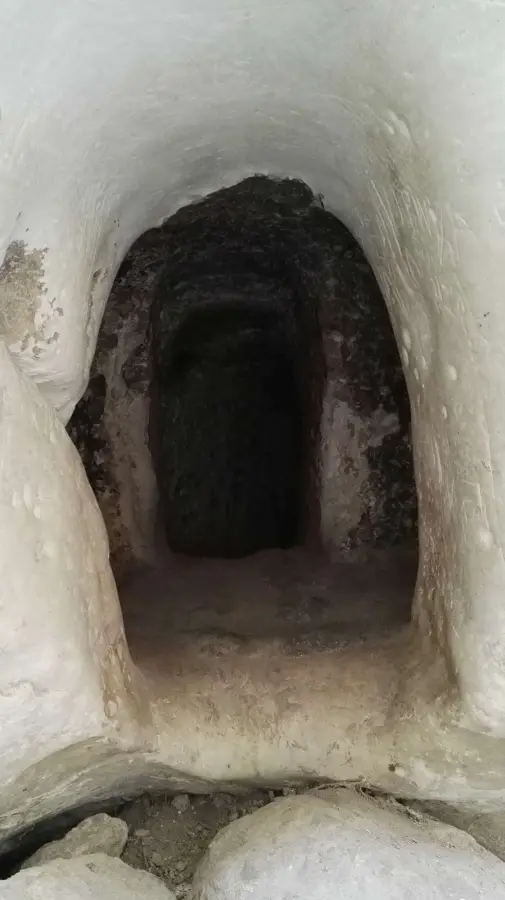
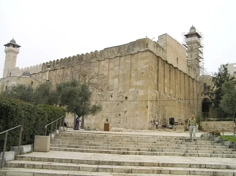
- Top sights: Khirbet Qufin · Jebel al Qarn · Al-Arroub Women's Association
- Nearby: Ash-Shuyukh (5 km)
Best time to visit & climate
The most pleasant time to visit is Apr, May, Oct.
| Jan | Feb | Mar | Apr | May | Jun | Jul | Aug | Sep | Oct | Nov | Dec | |
|---|---|---|---|---|---|---|---|---|---|---|---|---|
| Avg °C | 10 | 12 | 15 | 18 | 22 | 25 | 27 | 27 | 25 | 22 | 17 | 12 |
| Rain mm | 59 | 42 | 27 | 15 | 4 | 0 | 1 | 0 | 2 | 12 | 31 | 48 |
📋 Practical info
Geography
Facts
- Reaches a maximum elevation of approximately 1020 meters.
- Ranked among the highest peaks in the Judean Mountains.
- Located in the northeastern section of the Hebron Governorate.
- The summit regularly experiences snowfall during the winter months.
- The rock structure consists mainly of Upper Cretaceous limestone.
- Historically served as an important observation and signaling point.
Explore nearby
Notable places around
Route planner — Car & Motorhome
Where do you start? We build the route here, with stops and country notes along the way.
© OpenStreetMap contributors · OpenRouteService
Sights in the town Mount 'Aziur (9)
Sights nearby
Frequently asked questions
Is Mount 'Aziur known?
Do you need a hiking map?
Are there water sources?
Is the ascent difficult?
What is the best season?
Mount 'Aziur: where is it located?
Mount 'Aziur: what is there to see?
Mount 'Aziur: when is the best time to visit?
Mount 'Aziur: why is it worth visiting?

Nearby cities