Plizio Visual Lab
Beit Ummar
ℹ️Practical info — Beit Ummar
▾
🌤 Weather — 5 days
📍 Nearby
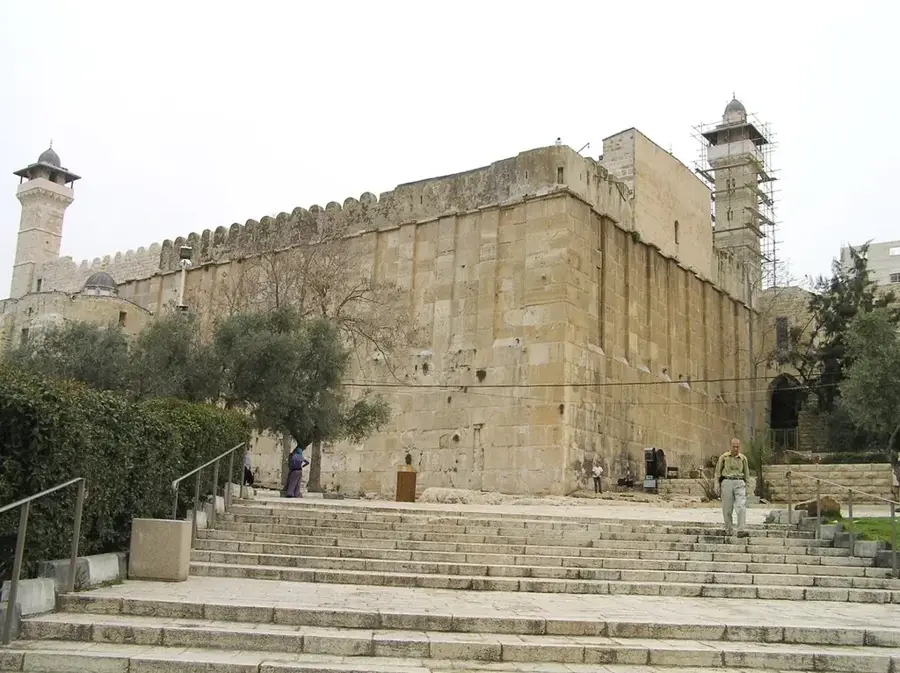
Sights nearby
💡 Tips
- The best time to visit is late summer when the grape and plum harvests are in full swing.
- Situated right on Route 60, the town makes for an easy and scenic stop between Jerusalem and Hebron.
- Local farmers frequently sell their fresh, seasonal produce directly at impromptu stands by the roadside.
- The hilly agricultural terrain means comfortable walking shoes are highly recommended if you plan to explore.
🍽 Food
The town's signature produce; they are incredibly sweet when bought locally in late summer.
A thick, sweet syrup made from local grapes, which is excellent when paired with tahini.
Stuffed grape leaves, a classic regional dish that is best when leaves are freshly picked in spring.
🛍 Shopping · 🧘 Quiet spots
The absolute best spot to purchase freshly picked grapes, plums, and figs during the season.
Browse for jars of homemade fruit jams and authentic regional dibs to take home.
The rolling hills covered in lush vines offer beautiful, tranquil walking opportunities.
Enjoy the sweeping panoramic views of the Hebron hills away from the hustle of the main highway.
Water temperature…
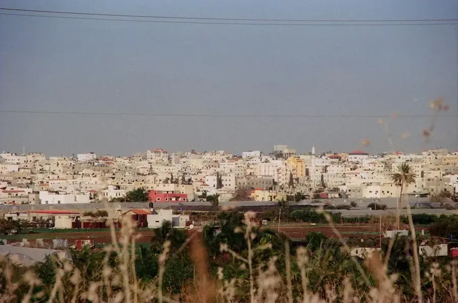
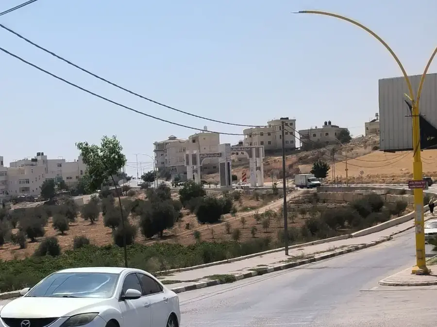
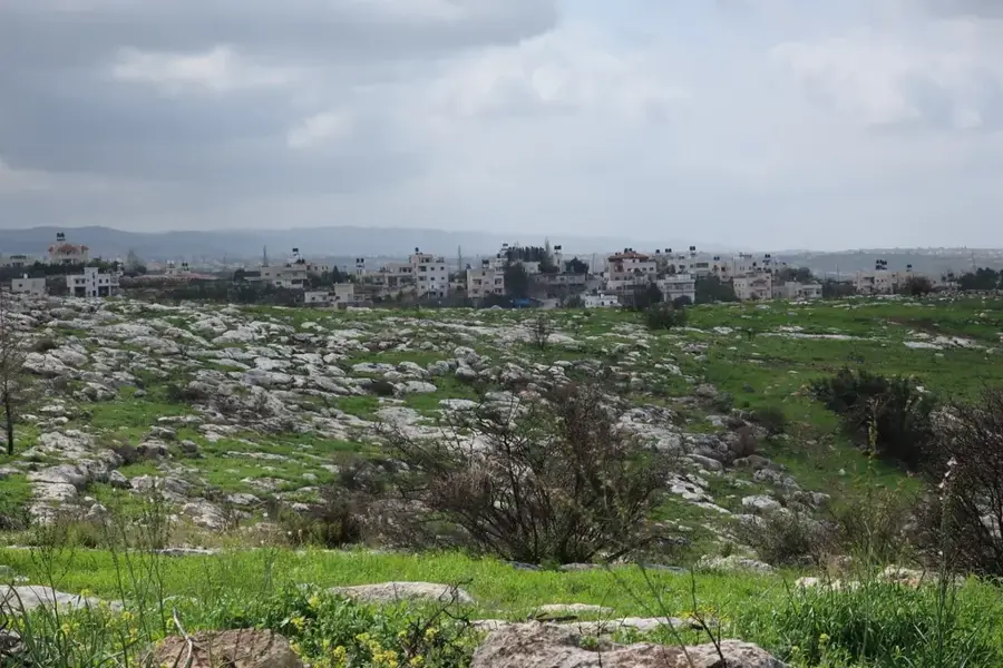
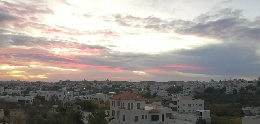
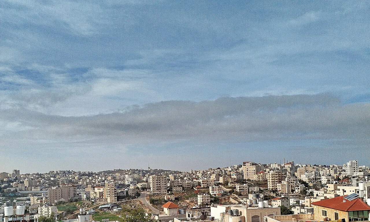
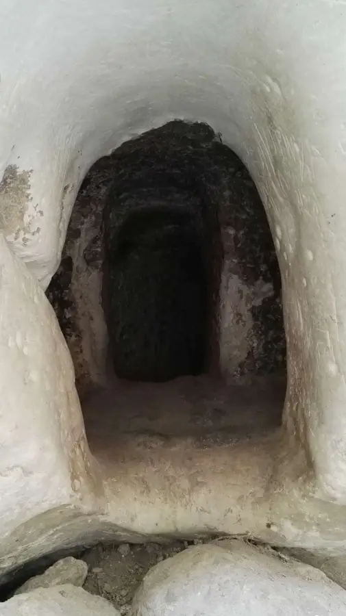
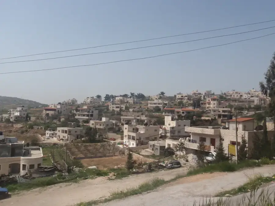
Beit Ummar is located approximately 11 kilometers north of Hebron, tucked away in the central highlands of the West Bank. The town is widely recognized as Palestine's premier agricultural hub, particularly famous for its fruit orchards that produce high-quality grapes, plums, and cherries. The local economy is driven by highly organized farming cooperatives that manage the terraced hillsides surrounding the town. Historically, Beit Ummar sits on ancient ground, with Canaanite tombs and other archaeological remains testifying to thousands of years of human settlement. The hilly terrain provides scenic vistas across the Judean mountains, making it a visually striking location. During the harvest season, the town becomes a bustling center of trade and celebration. Beyond its crops, Beit Ummar is a place where ancient history meets modern rural life, offering a unique perspective on the agricultural traditions and enduring cultural heritage of the Hebron region.
- Location: Palestinian Territories
- Top sights: Tel Gador · Shomra Ruins · Sit Najla
- Nearby: Surif (5 km)
- Population: ~12.238 (2023)
Best time to visit & climate
The most pleasant time to visit is Apr, May, Oct.
| Jan | Feb | Mar | Apr | May | Jun | Jul | Aug | Sep | Oct | Nov | Dec | |
|---|---|---|---|---|---|---|---|---|---|---|---|---|
| Avg °C | 10 | 12 | 15 | 18 | 22 | 25 | 27 | 27 | 25 | 22 | 17 | 12 |
| Rain mm | 59 | 42 | 27 | 15 | 4 | 0 | 1 | 0 | 2 | 12 | 31 | 48 |
Geography
Facts
- Located on the strategic Hebron-Jerusalem road.
- Elevation of approx. 900 meters above sea level.
- Famous for the production of almonds and plums.
- Population of approximately 17,000 residents.
- Home to the shrine of Nabi Matta (Matthew).
- Major agricultural hub in northern Hebron district.
Explore nearby
Notable places around
Route planner — Car & Motorhome
Where do you start? We build the route here, with stops and country notes along the way.
© OpenStreetMap contributors · OpenRouteService
Sights in the town Beit Ummar (7)
Frequently asked questions
Stay duration Beit Ummar?
Best time to visit?
Getting there?
Food?
Family-friendly?
Beit Ummar: where is it located?
Beit Ummar: what is there to see?
Beit Ummar: when is the best time to visit?
Beit Ummar: why is it worth visiting?

Nearby cities