Plizio Visual Lab
Calabar Port

Weather…
Water temperature…
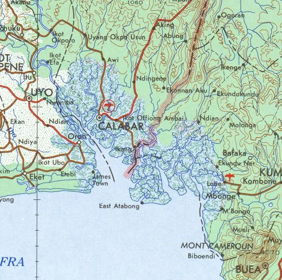
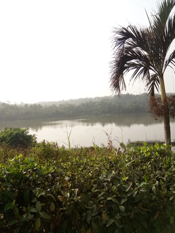
Calabar Port in Cross River State has a long history dating back to the pre-colonial era, when it served as a major center for the slave trade and later for palm oil exports. The modern port complex was significantly expanded in the late 1970s to bolster the economy of eastern Nigeria. Located on the Calabar River, approximately 45 nautical miles from the open sea, it faces geographical challenges due to the constant need for dredging to maintain navigable depths in the river channel. Today, Calabar Port is an integrated facility capable of handling containerized, general, and liquid cargo. It is also home to one of Nigeria's first Export Processing Zones (EPZ), which provides tax incentives and infrastructure for manufacturing companies. Despite its modern equipment, the port often operates below capacity due to its distance from the main shipping lanes and logistical issues in the hinterland. Nonetheless, it remains a vital logistical hub for Cross River State and its neighbors. Its strategic proximity to Cameroon and Equatorial Guinea makes it a potential leader for regional trade within the Gulf of Guinea.
- Location: Nigeria
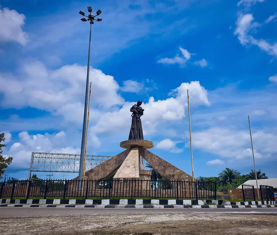
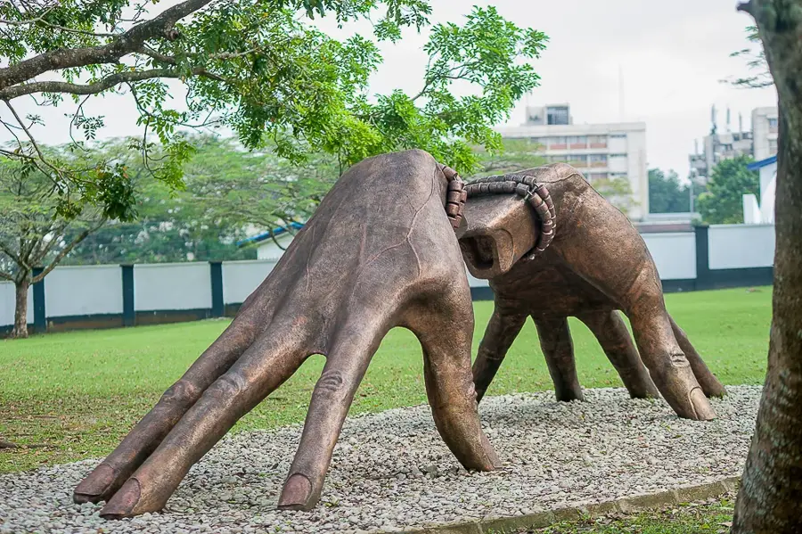
- Top sights: Slave History Museum · Marina Resort · CERCOPAN
- Nearby: Uyo (47 km)
Best time to visit & climate
The most pleasant time to visit is Jan, Feb, Dec.
| Jan | Feb | Mar | Apr | May | Jun | Jul | Aug | Sep | Oct | Nov | Dec | |
|---|---|---|---|---|---|---|---|---|---|---|---|---|
| Avg °C | 26 | 27 | 26 | 26 | 26 | 25 | 24 | 24 | 24 | 25 | 25 | 26 |
| Rain mm | 39 | 95 | 176 | 243 | 269 | 450 | 581 | 685 | 532 | 384 | 168 | 23 |
📋 Practical info
Geography
Facts
- Calabar has been a significant trading location since as early as the 16th century.
- The modern port complex was officially commissioned for service in 1979.
- It is situated about 45 nautical miles upstream from the sea on the Calabar River.
- The port facility integrates one of Nigeria's premier Export Processing Zones.
- Calabar Port is a major entry and distribution point for cement and flour.
- Regular dredging is required to maintain the depth of the river's navigational channel.
Explore nearby
Notable places around
Route planner — Car & Motorhome
Where do you start? We build the route here, with stops and country notes along the way.
© OpenStreetMap contributors · OpenRouteService
Sights in the town Calabar Port (4)
Pandrillus
Calabar Port organization focused on primate protection.
Sights nearby
Frequently asked questions
What characterizes Calabar Port?
Is it open to visitors?
What significance does Calabar have?
How to get there?
Is the area safe?
Calabar Port: where is it located?
Calabar Port: what is there to see?
Calabar Port: when is the best time to visit?
Calabar Port: why is it worth visiting?

Nearby cities
History & landmarks
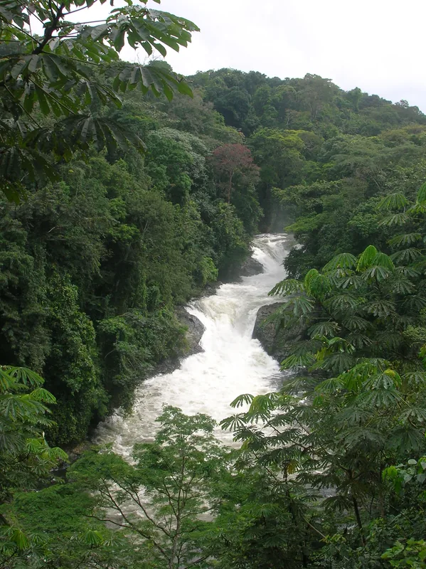
Nature
More places