Plizio Visual Lab
Umuahia
ℹ️Practical info — Umuahia
▾
🌤 Weather — 5 days
📍 Nearby
Sights nearby
💡 Tips
- The National War Museum is for understanding the profound history of the Nigerian Civil War.
- The tropical climate brings frequent rain; always carry an umbrella regardless of the morning weather.
- Traffic can get congested around major transport nodes; avoid traveling during early morning or evening rush hours.
- Try to arrange fares with taxi or minibus drivers before entering the vehicle to avoid misunderstandings.
🍽 Food
A rich, assorted meat and vegetable soup available at local traditional restaurants around the city center.
Locally tapped from surrounding palm groves; you can find authentic sellers at roadside stalls just outside the main city.
A delicious mix of cassava, oil bean seed, and spices, commonly sold by vendors near the market areas.
🛍 Shopping · 🧘 Quiet spots
The primary spot for fresh agricultural produce, including high-quality local palm oil.
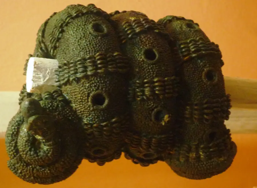
Check out the small vendors near the museum for handmade wooden carvings and souvenirs.
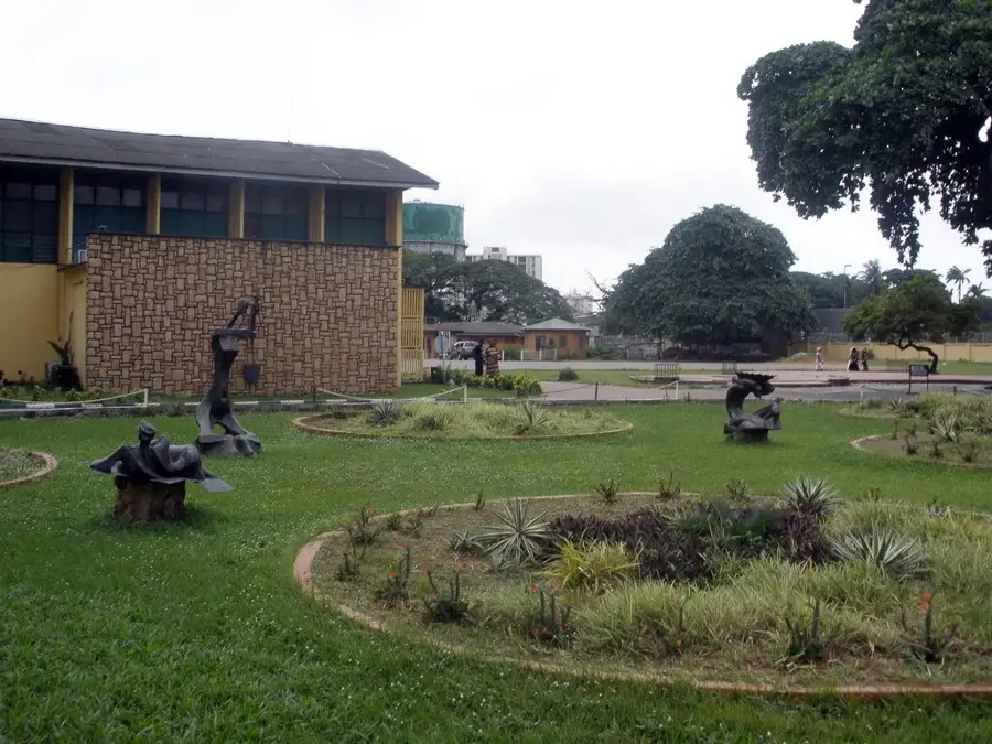
Apart from the historical exhibits, the surrounding lawns are well-kept and surprisingly serene.
Taking a short drive outside the city center reveals peaceful greenery and tropical forest landscapes.
Water temperature…
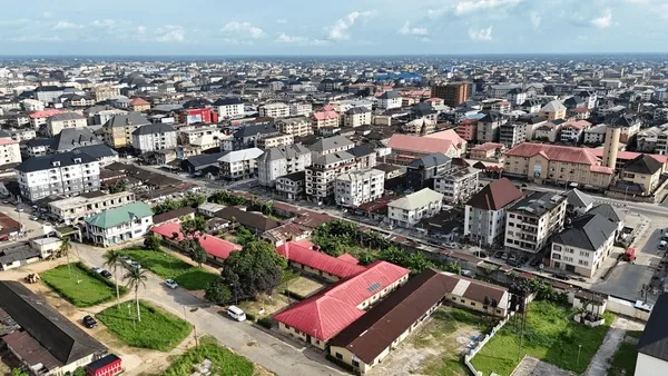
Umuahia serves as the administrative capital of Abia State in southeastern Nigeria, standing as a testament to the resilience and growth of the Igbo heartland. Historically, the city rose to prominence as the second and final capital of the secessionist Republic of Biafra during the Nigerian Civil War (1967-1970), a period that defined much of its contemporary identity. This heritage is meticulously preserved at the National War Museum, which houses unique military artifacts, including the famous Ogbunigwe mines and the radio station used by the Biafran leadership. Geographically, Umuahia is situated in the tropical rainforest belt, characterized by lush vegetation and a humid climate that supports the region's vast palm oil plantations. The city's evolution was significantly boosted by the arrival of the railway in 1916, connecting it to the Atlantic coast at Port Harcourt and facilitating the export of agricultural commodities. Today, Umuahia has transitioned from a colonial rail hub into a sophisticated urban center, anchored by institutions such as the Michael Okpara University of Agriculture. The local economy thrives on trade, civil service, and a growing SME sector, while its markets are renowned for high-quality indigenous produce and textiles. Urban planning in Umuahia balances historical sites with modern infrastructure, featuring expansive government complexes and evolving residential estates. The social fabric of the city is deeply influenced by the 'Ohafia War Dance' and other cultural expressions that highlight the bravery and artistry of the local people. As a gateway to both the commercial city of Aba and the northern regions of the state, Umuahia maintains a strategic position in Nigeria's internal logistics. The city continues to expand its reach, focusing on sustainable development and the preservation of its green spaces, making it one of the more organized and habitable state capitals in the Niger Delta fringe region.
- Location: Nigeria
- Top sights: Umuahia North · Anglican Diocese of Isuikwuato · Isuikwuato
- Nearby: Aba (48 km)
- Population: ~370.000 (2026)
Best time to visit & climate
The most pleasant time to visit is Jan, Feb, Dec.
| Jan | Feb | Mar | Apr | May | Jun | Jul | Aug | Sep | Oct | Nov | Dec | |
|---|---|---|---|---|---|---|---|---|---|---|---|---|
| Avg °C | 25 | 26 | 27 | 27 | 26 | 25 | 25 | 25 | 25 | 25 | 26 | 25 |
| Rain mm | 15 | 34 | 78 | 136 | 176 | 230 | 227 | 249 | 308 | 231 | 94 | 13 |
Geography
Facts
- The city's railway station was completed by the British in 1916.
- Umuahia hosts the Michael Okpara University of Agriculture, Umudike.
- The National War Museum was established to promote national reconciliation.
- The city serves as the headquarters for both Umuahia North and South LGAs.
- The Ojukwu Bunker, a key historic site, is located within the city limits.
- Umuahia's terrain is characterized by a dissected plateau landscape.
- It is a major transit point for commuters traveling between Aba and Enugu.
- The town was originally settled by the Ibeku and Olokoro clans.
Explore nearby
Notable places around
Route planner — Car & Motorhome
Where do you start? We build the route here, with stops and country notes along the way.
© OpenStreetMap contributors · OpenRouteService
Sights in the town Umuahia (3)
Frequently asked questions
What is historically important in Umuahia?
What should I visit?
Best time to visit?
How to get there?
Is it family-friendly?
Umuahia: where is it located?
Umuahia: what is there to see?
Umuahia: when is the best time to visit?
Umuahia: why is it worth visiting?

Nearby cities
History & landmarks
More places