Plizio Visual Lab
Semaphore of Nouméa

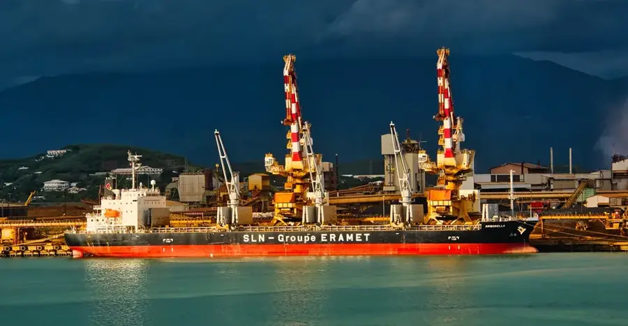
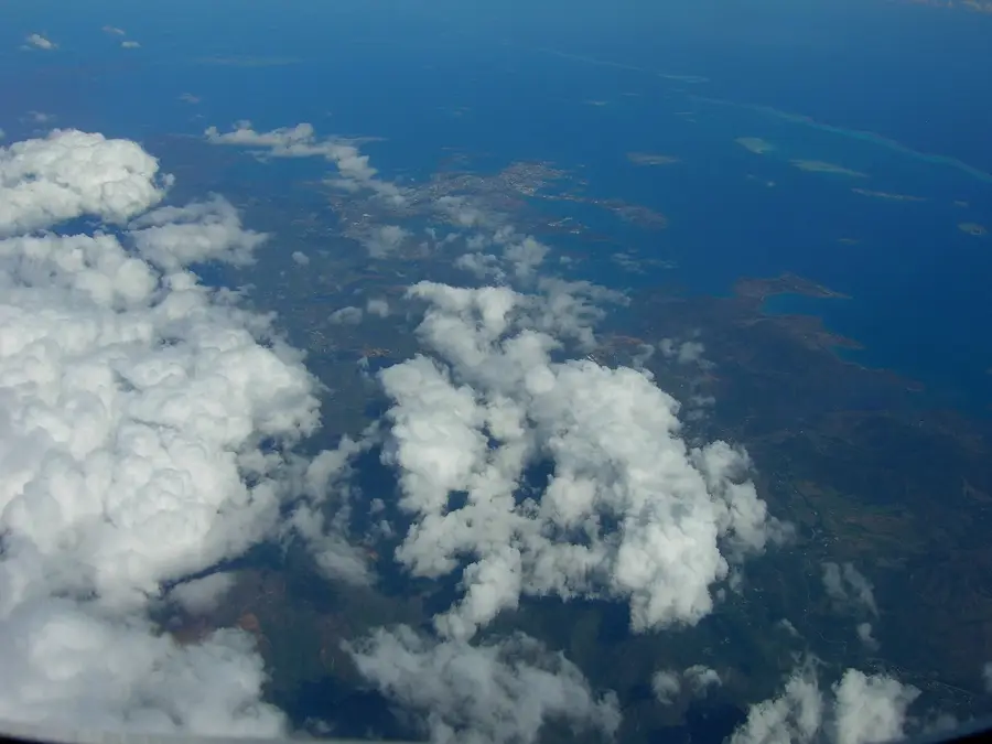
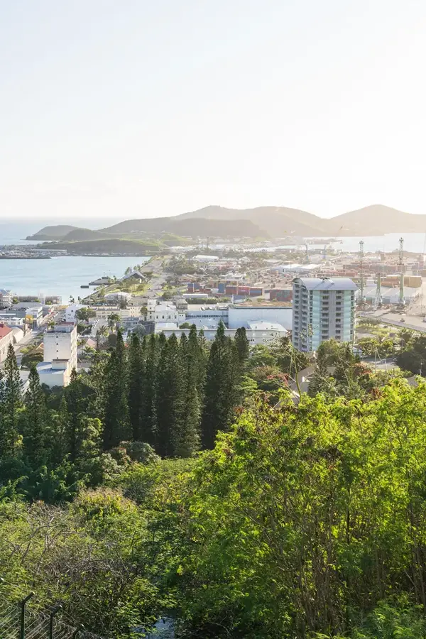
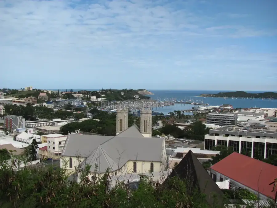
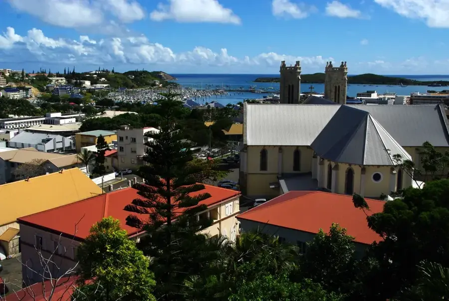
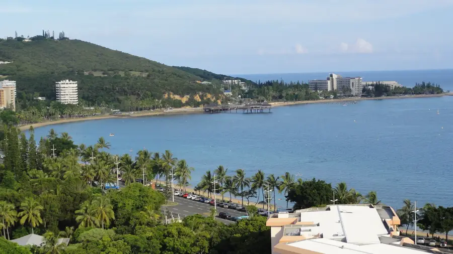
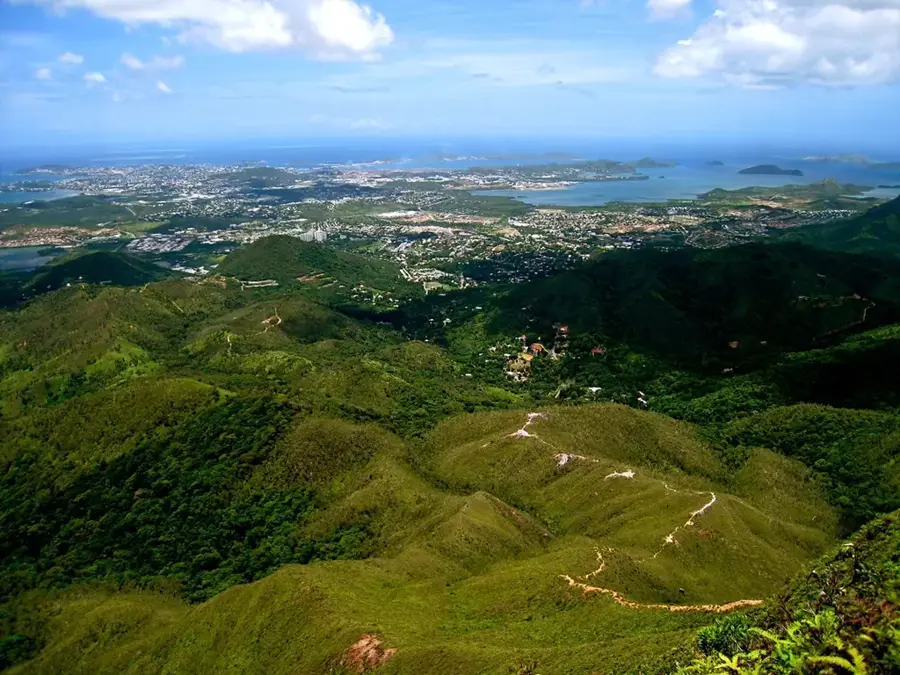
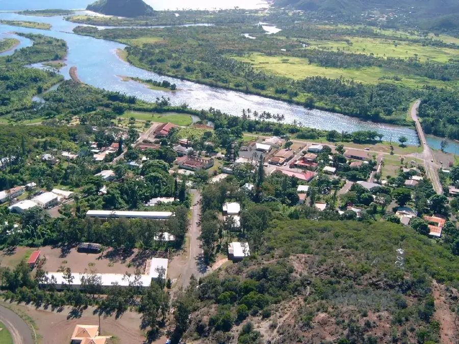
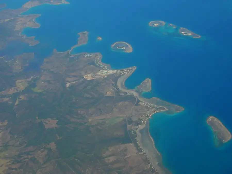
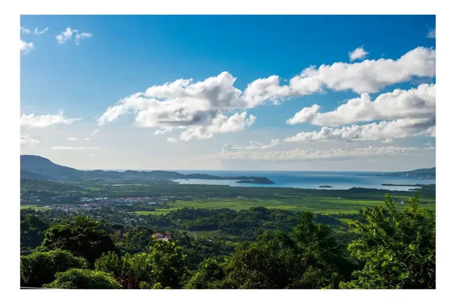
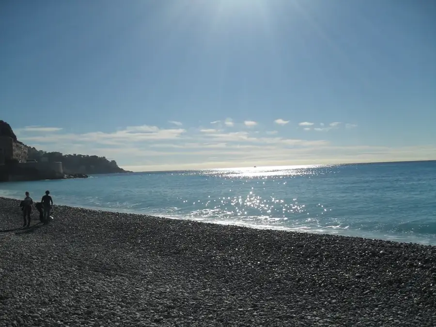
The historic Semaphore of Nouméa, perched atop Mont Coffyn, is one of the city's most significant landmarks reflecting its deep maritime roots. Established in 1888, it played a vital role in supervising naval traffic through the complex coral reef passages of New Caledonia's lagoon and coordinating arrivals into the harbor. In the years before advanced radio communications, the station relied on visual signaling systems to relay messages between incoming vessels and the shore. While the technology has evolved, the location's strategic importance remains; today, it functions primarily as a meteorological station and a center for coastal safety and monitoring. For visitors, the Semaphore is most famous for providing the single best vantage point in Nouméa. From its summit, one can enjoy an unoccupied 360-degree panoramic view that encompasses the entire city, the bustling marinas, and the shimmering turquoise waters of the lagoon, a UNESCO World Heritage site. Small informational plaques around the site explain the history of the signal station and its evolution over the decades. It is a popular spot for photography and contemplation, especially during sunset when the light dances across the distant islets and coral formations, offering a first-rate overview of the capital's striking geographical setting.
- Location: New Caledonia
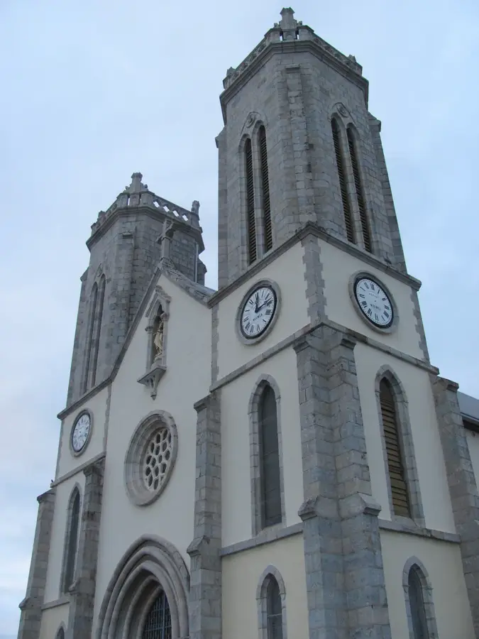
- Top sights: Église du Bon-Pasteur · Église Évangélique Polynésie Française en Nouvelle-Calédonie · Temple protestant de Nouméa
- Nearby: Anse Vata (4 km)
Best time to visit & climate
The most pleasant time to visit is Aug–Oct.
| Jan | Feb | Mar | Apr | May | Jun | Jul | Aug | Sep | Oct | Nov | Dec | |
|---|---|---|---|---|---|---|---|---|---|---|---|---|
| Avg °C | 26 | 27 | 26 | 25 | 24 | 22 | 21 | 21 | 21 | 23 | 24 | 25 |
| Rain mm | 109 | 99 | 161 | 104 | 94 | 80 | 68 | 58 | 42 | 41 | 65 | 78 |
📋 Practical info
Geography
Facts
- First semaphore structure erected in 1883.
- Used for transmitting messages using the flag semaphore system.
- Strategically positioned at 128 meters above sea level.
- Utilized by US forces during World War II for surveillance.
- Replaced by modern radio technology in 1970.
- Part of a broader coastal observation network in the territory.
Explore nearby
Notable places around
Route planner — Car & Motorhome
Where do you start? We build the route here, with stops and country notes along the way.
© OpenStreetMap contributors · OpenRouteService
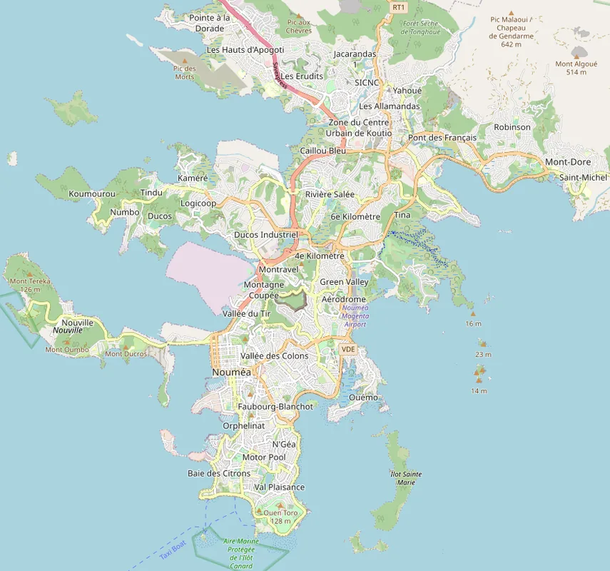
Sights in the town Semaphore of Nouméa (10)
Point de vue Montravel
Viewpoint on Montravel hill, offering panoramic views of Nouméa.
Gouverneur Jean-Baptiste Olry
Monument or site named after Governor Jean-Baptiste Olry.
Musée de la seconde guerre mondiale en Nouvelle-Calédonie🏛 museum
Museum about World War II in New Caledonia, with military exhibits.
Musée de la Ville🏛 museum
City museum of Nouméa, showcasing local history and culture.
Centre Islamique de Nouméa
Islamic center in Nouméa, a place for prayer and community.
Cyber-base de la Fédération des Oeuvres Laïques
Media center offering internet access and digital courses.
Sights nearby
Frequently asked questions
What is the Semaphore?
Can you climb it?
Good photo opportunities?
Where is it?
How long does the visit take?
Semaphore of Nouméa: where is it located?
Semaphore of Nouméa: what is there to see?
Semaphore of Nouméa: when is the best time to visit?
Semaphore of Nouméa: why is it worth visiting?

Nearby cities

History & landmarks
More places