Plizio Visual Lab
Semaphore of Bourail
Plizio editorial teamData Sources
tower
Weather…
Water temperature…
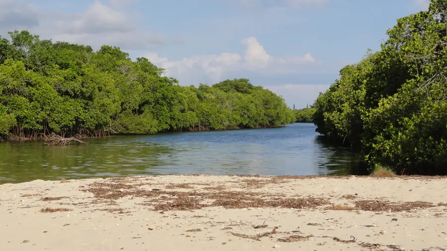
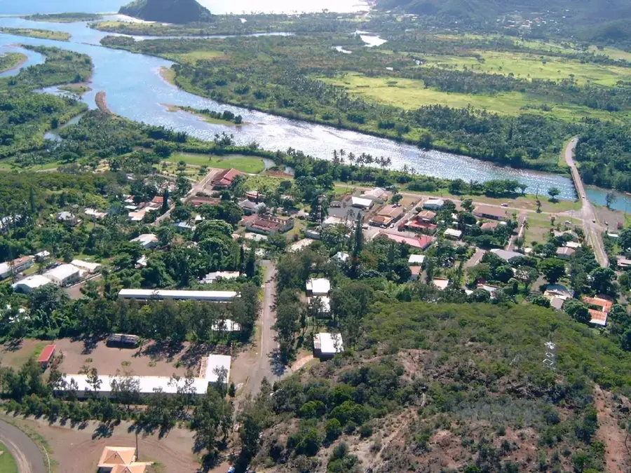
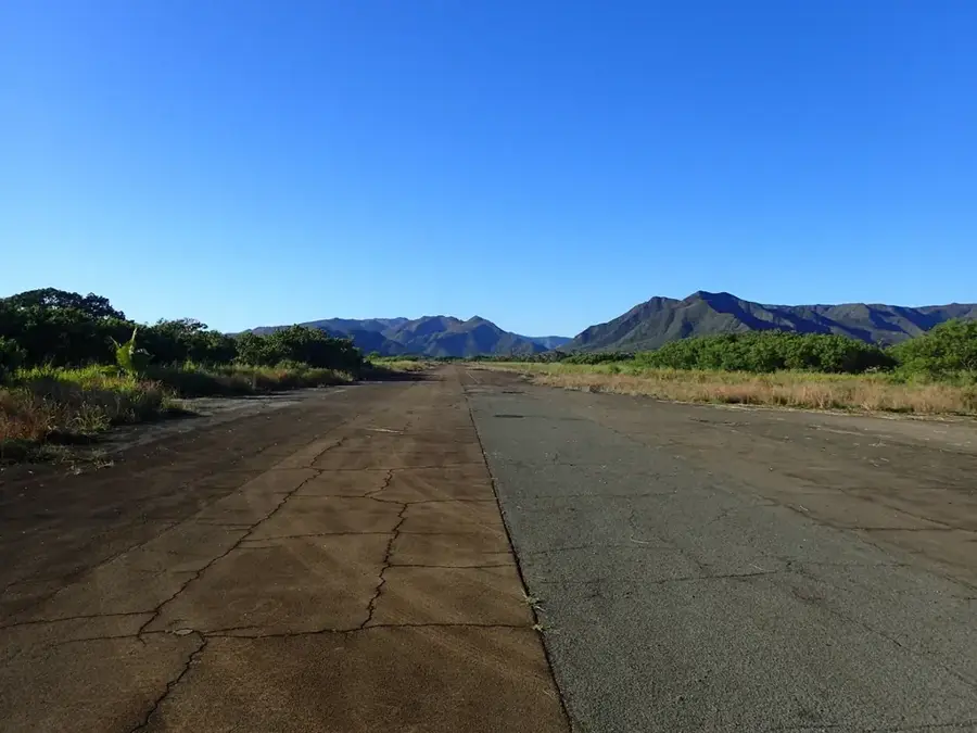
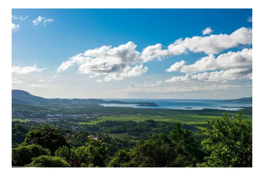
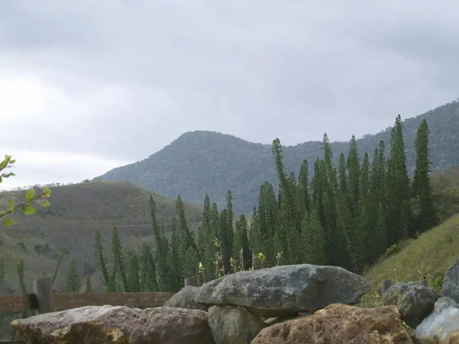
The Semaphore of Bourail is a significant historical landmark located on the west coast of New Caledonia. This former signal station sits in a strategic hilltop position, offering expansive views over the Pacific Ocean and the surrounding coral reefs. During the 19th century, the station played a vital role in maritime surveillance and served as a key communication link for the early settlers in the area. Visual signals were sent from this point to warn approaching ships of the hazardous reefs or to relay messages to the mainland. Today, the Semaphore is a favorite destination for hikers and history buffs alike. A well-maintained trail leads visitors up to the viewpoint, providing an impressive vantage point to admire the dramatic Gouaro Cliffs and the famous "Bonhomme de Bourail" rock formation. The site combines maritime heritage with dramatic natural scenery, making it a peaceful and educational stop for any traveler exploring the Bourail region and its unique coastline.
- Location: New Caledonia
- Top sights: Nouméa Skydive · Cap ULM · Air Paradis Poé
- Nearby: Bourail (9 km)
Best time to visit & climate
The most pleasant time to visit is Jul–Sep.
| Jan | Feb | Mar | Apr | May | Jun | Jul | Aug | Sep | Oct | Nov | Dec | |
|---|---|---|---|---|---|---|---|---|---|---|---|---|
| Avg °C | 26 | 27 | 26 | 25 | 23 | 22 | 20 | 20 | 21 | 23 | 24 | 26 |
| Rain mm | 162 | 157 | 213 | 120 | 100 | 84 | 60 | 60 | 48 | 53 | 71 | 115 |
📋 Practical info
Visiting
The Semaphore of Bourail is a historic viewpoint that is freely accessible. You can view the former signal building from the outside and enjoy panoramic views of the coast.
Typical hours
As it is an open viewing platform, it is accessible at any time. The building itself is not open, but the surroundings can be visited around the clock.
Photography
The panoramic view from the semaphore is a dream for photographers, especially at sunrise or sunset. Old signal equipment provides interesting close-up details.
Time needed
A visit takes about 20-30 minutes to enjoy the view and take photos. If you add a walk along the coast, allow one hour.
Combine with
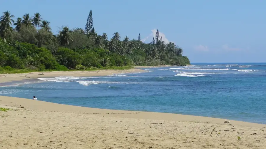
The semaphore is near Bourail town center, so a stroll through town is a good addition. The beaches of Bourail and Saint-Louis Mission also combine well.
Getting there
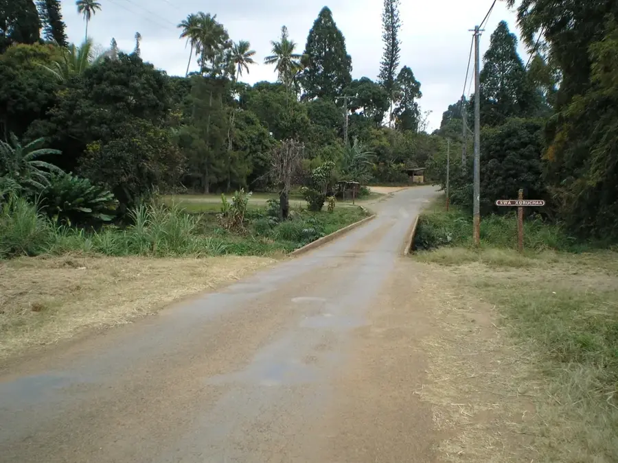
The semaphore is reachable on foot from Bourail center, or by car via the coastal road. A small parking area is near the viewpoint.
Insider tip
Visit in the late afternoon for the best light and a striking sunset over the sea. Bring binoculars to spot ships at sea.
Geography
Facts
- Built in 1889
- Located on Gouaro hill
- Visual telegraphy system used
- Decommissioned in mid-20th century
- Stone construction
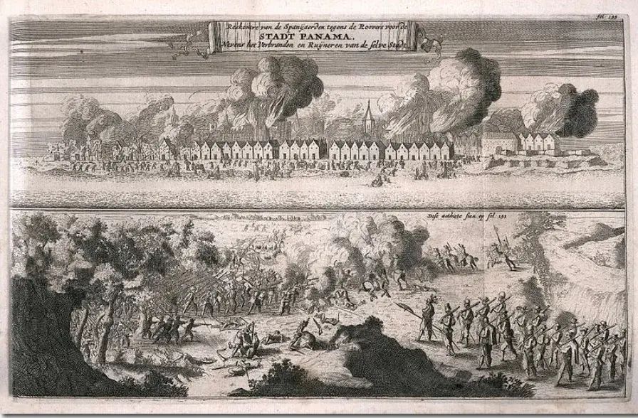
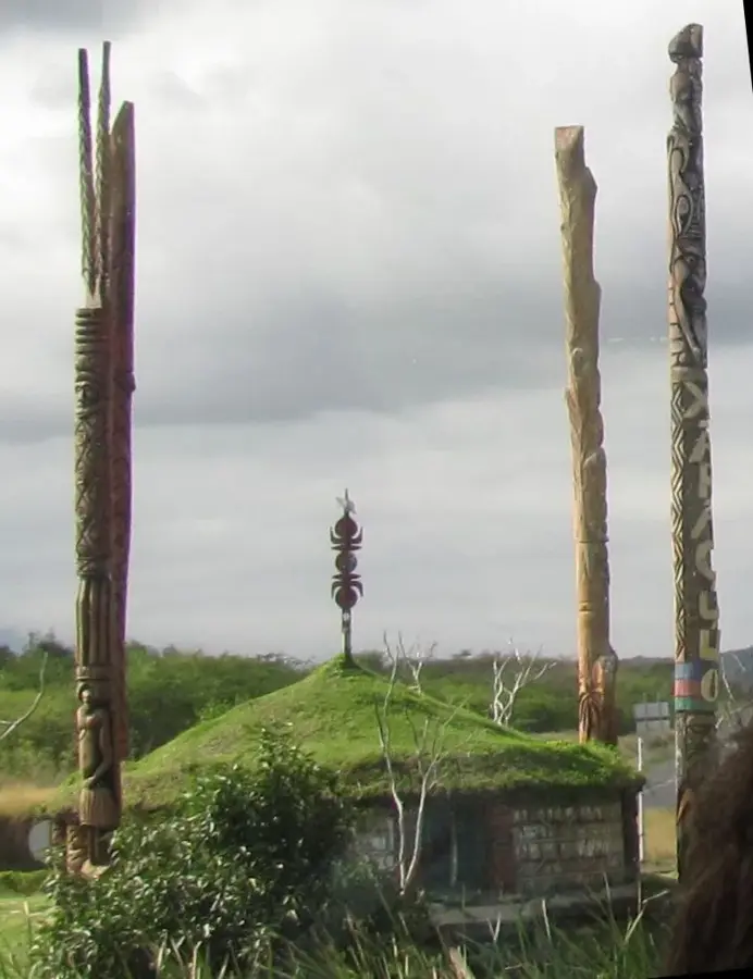
- Part of the penal colony surveillance network
Explore nearby
Notable places around
Route planner — Car & Motorhome
Where do you start? We build the route here, with stops and country notes along the way.
Vehicle
Only stops with (optional):
© OpenStreetMap contributors · OpenRouteService
Sights in the town Semaphore of Bourail (4)
Air Paradis Poé
Scenic flights in small aircraft, views of beaches and the barrier reef.
Sights nearby
Frequently asked questions
Why was the semaphore built?
It served as a signal tower to monitor the coast.
Can one climb the tower?
Access is usually prohibited for safety reasons.
Does the site offer a good view?
Yes, the site gives a great view over the bay.
When is the best time for photos?
At sunset, the light is especially beautiful.
Is the path there steep?
A slight incline that is easily manageable.
Semaphore of Bourail: where is it located?
Semaphore of Bourail is located in New Caledonia.
Semaphore of Bourail: what is there to see?
Highlights include Nouméa Skydive, Cap ULM, Air Paradis Poé.
Semaphore of Bourail: when is the best time to visit?
The most pleasant time to visit is Jul, Sep.
Semaphore of Bourail: why is it worth visiting?
The Semaphore of Bourail is a significant historical landmark located on the west coast of New Caledonia.

Explore with Plizio
Discover more places in Oceania
More places in New Caledonia →
Nearby cities
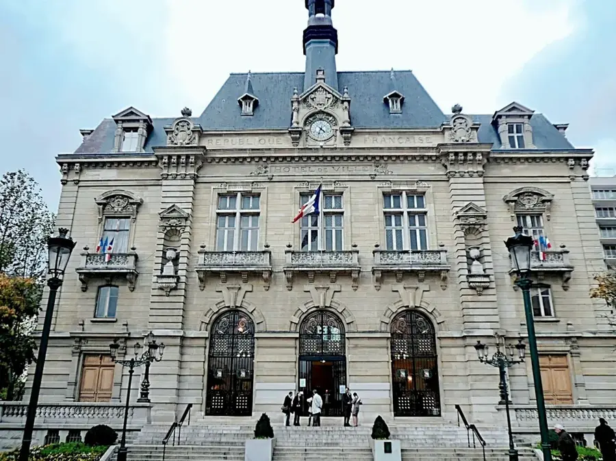
Vallée du Tir
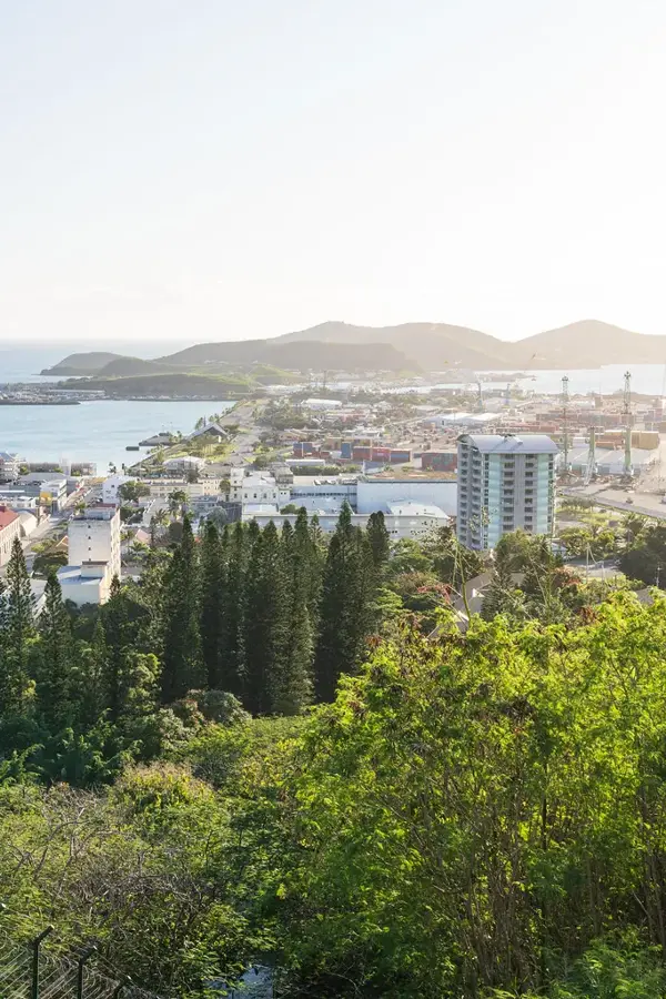
Vallée du Tir is a popular and historical district of Nouméa, located near the harbor.
Dumbéa
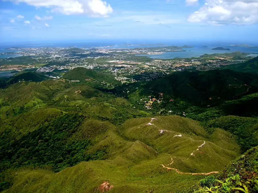
Dumbéa is a rapidly growing suburb of Nouméa and part of the Great Nouméa metropolitan area.

Koné
Koné is the capital of the North Province and a vital center for the nickel industry in the north.
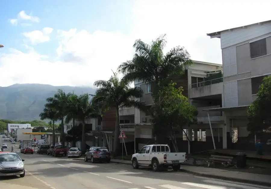
Kone Economic Pole
Kone has developed into the primary economic hub of the North Province.
Thio
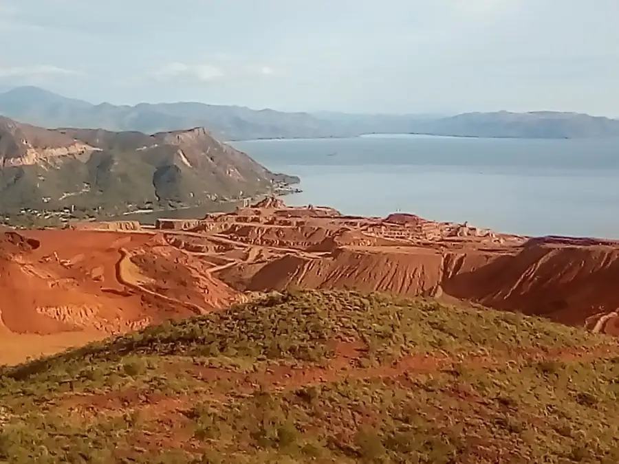
Thio is considered the cradle of nickel mining in New Caledonia, located on the southeast coast.
Païta Pioneer District
Païta is known for its history as the first major settlement outside Nouméa.
Païta
Païta is located west of Nouméa and hosts the territory's primary international airport.
Kouaoua
Kouaoua is a mining town on the east coast famous for having one of the world's longest conveyor belts.
Houaïlou
Houaïlou is a town on the east coast known for its lychee cultivation and mining tradition.
Poindimié
Poindimié is the most important economic and administrative center on the northeast coast of the main island.
Canala
Canala is a historical center of nickel mining on the east coast of New Caledonia.
Pouembout
Pouembout is a growing town in the North Province, closely linked to the development of Koné.

Voh
Voh is a northern commune world-famous for a natural heart shape within its mangroves.
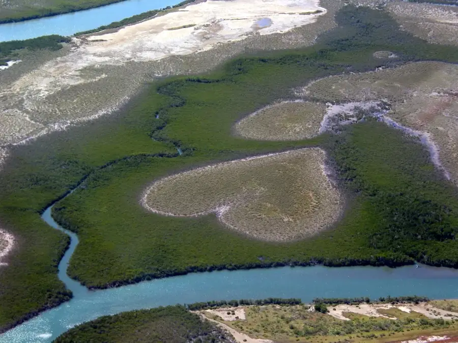
Voh Pioneer History
Famous for the 'Heart of Voh', the commune also has a rich history of coffee farming and early European settlement.
Rivière-Salée
Rivière-Salée is a large residential district in northern Nouméa, named after the local 'salty river'.
History & landmarks
Nature
More places
Ducos
Ducos is the primary industrial and commercial zone of Nouméa, located on its own peninsula.
Doniambo
Doniambo is the industrial heart of Nouméa, home to the massive SLN nickel smelter.
Deva Natural Domain
A vast protected domain preserving dry forests, mangroves, and rich coastal flora between the mountains and the lagoon.
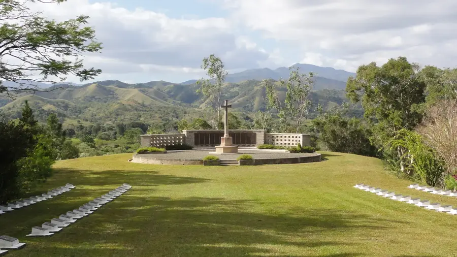
Bourail New Zealand War Cemetery
A Commonwealth war cemetery for soldiers who died in the Pacific during World War II.