Plizio Visual Lab
Pont-des-Français

ℹ️Practical info — Pont-des-Français
▾
🌤 Weather — 5 days
📍 Nearby
Sights nearby
💡 Tips
- This area is a major traffic bottleneck during Nouméa's rush hours; plan your transit outside of early mornings and late afternoons.
- It's a convenient spot to stock up on groceries and supplies before heading to the deep south.
- Renting a car is highly recommended here, as public transport options further south are limited.
- Keep an eye out for nickel mining trucks sharing the main road towards Mont-Dore.
🍽 Food
Pick up fresh baguettes and croissants at the large bakeries in the commercial zones.
Look for simple roadside snacks offering local sandwiches and paninis.
Great for grabbing ready-made French cheeses and charcuterie for a picnic.
🛍 Shopping · 🧘 Quiet spots
This district hosts major supermarkets and retail stores for all necessities.
Good place to buy camping or hiking gear before exploring the southern province.
Find small paths along the waterfront looking out towards the bay.
Drive slightly out of the commercial zone for peaceful nature trails.
Water temperature…
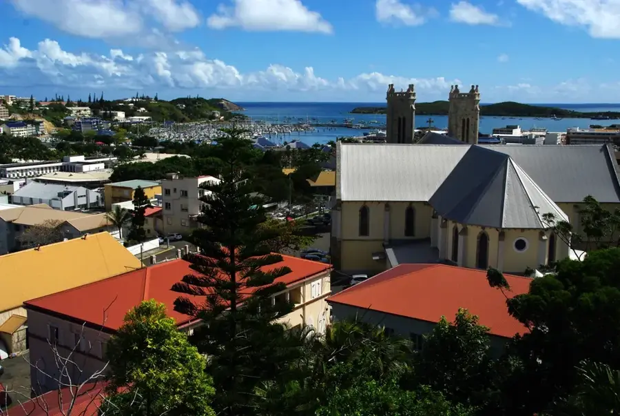
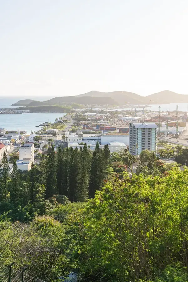
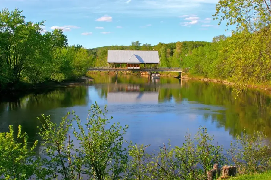
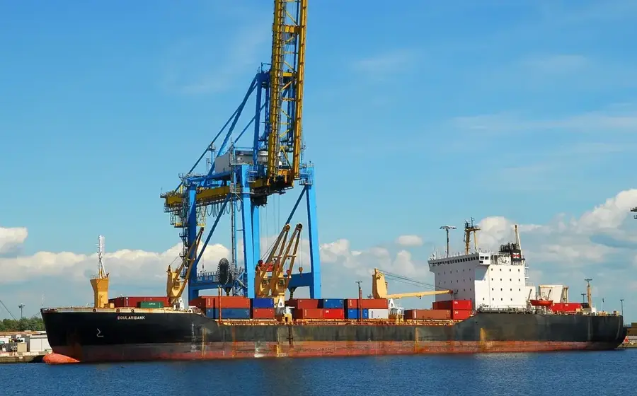
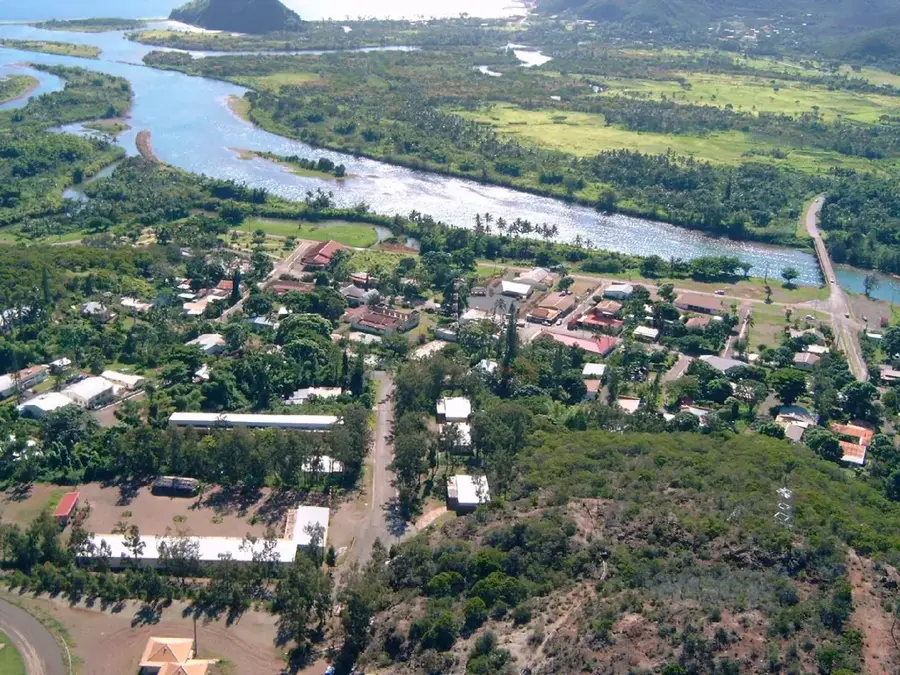
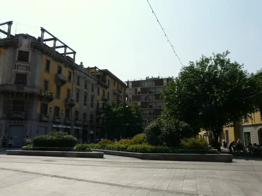
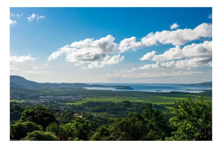
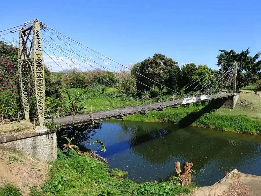
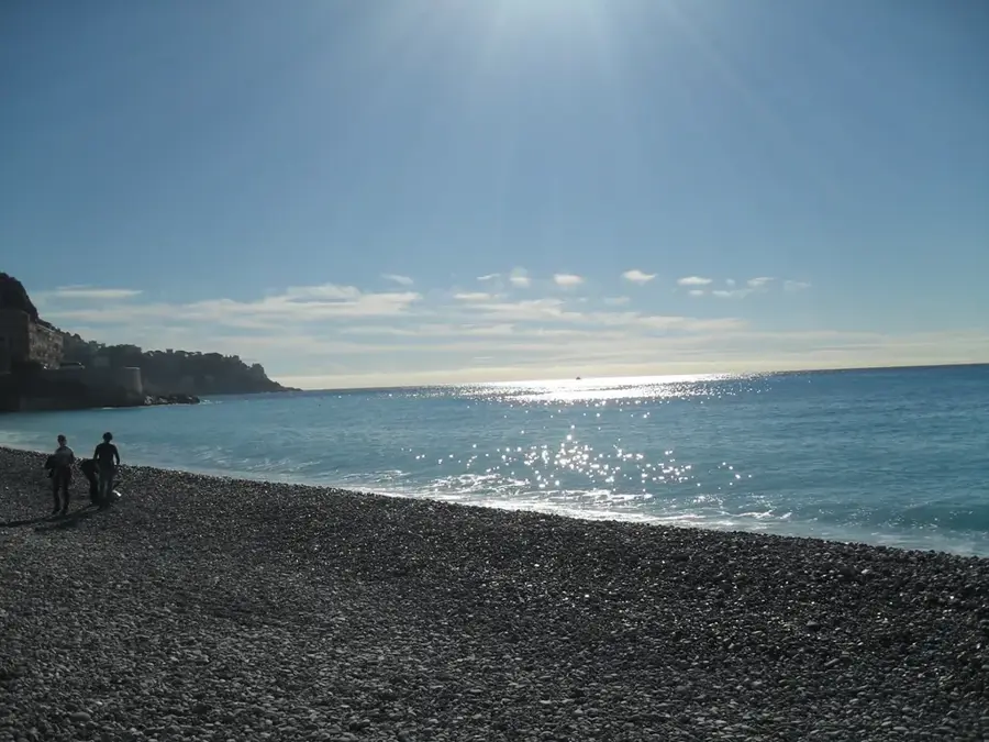
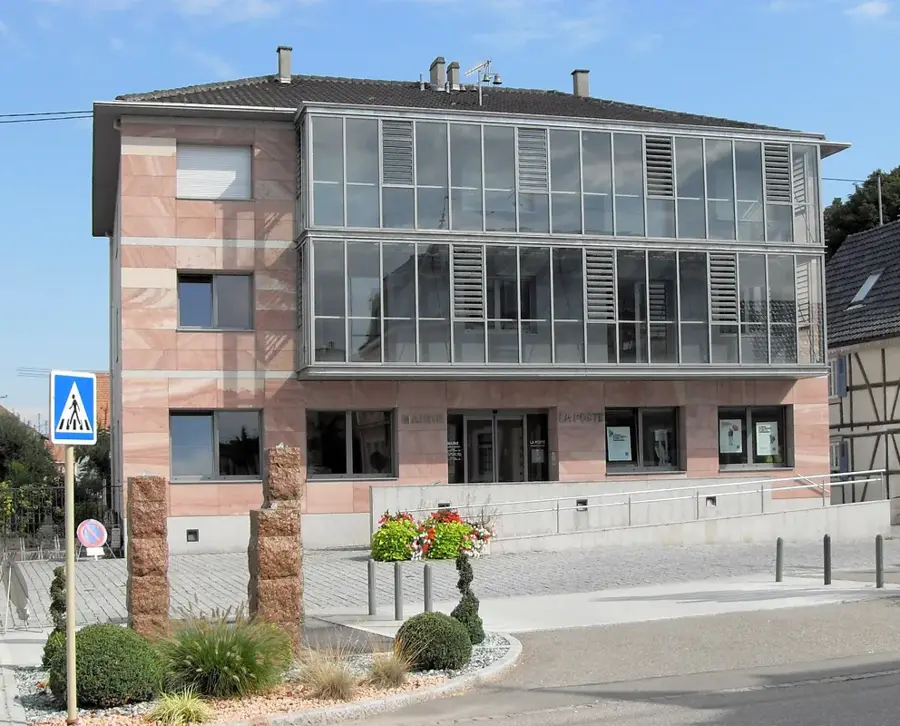
Pont-des-Français is a bustling and strategically vital district located at the gateway between the capital city of Nouméa and the municipality of Mont-Dore. The area's name originates from a historical bridge built during the early French colonial era to cross the local waterways. Today, it has evolved into a major commercial hub, home to New Caledonia's largest retail outlets, including hypermarkets like Géant and specialized stores like Darty, making it a primary shopping destination for the Greater Nouméa area. As a crucial road junction, Pont-des-Français sees significant daily traffic as it connects the residential areas of the south to the administrative heart of the island. While primarily an economic zone, it gives a fascinating look at the modern, urban side of New Caledonian life and its rapid infrastructure development. For travelers, it serves as a practical logistics base to stock up on supplies before heading further into the wilder, scenic southern provinces. The nearby coastal fringes still feature remnants of mangrove forests, providing a natural buffer to the busy commercial activity of the district.
- Location: New Caledonia
- Nearby: Ouémo Point (4 km)
- Population: ~1.586 (2025)
Best time to visit & climate
The most pleasant time to visit is Jun, Sep, Oct.
| Jan | Feb | Mar | Apr | May | Jun | Jul | Aug | Sep | Oct | Nov | Dec | |
|---|---|---|---|---|---|---|---|---|---|---|---|---|
| Avg °C | 26 | 26 | 25 | 24 | 22 | 21 | 20 | 20 | 21 | 22 | 23 | 25 |
| Rain mm | 124 | 122 | 171 | 105 | 91 | 75 | 63 | 61 | 41 | 45 | 57 | 87 |
Geography
Facts
- Marks the boundary with Mont-Dore
- Eponymous bridge spans the Coulée river
- Major gateway to the South Province
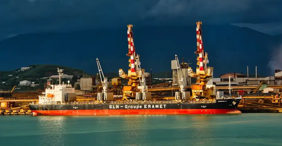
- Site of significant industrial companies
- Highly frequented traffic junction
- Historical importance for French settlers
Explore nearby
Notable places around
Route planner — Car & Motorhome
Where do you start? We build the route here, with stops and country notes along the way.
© OpenStreetMap contributors · OpenRouteService
Frequently asked questions
What is Pont-des-Français?
Are there attractions there?
How is the traffic?
What is nearby?
Is it safe?
Pont-des-Français: where is it located?
Pont-des-Français: when is the best time to visit?
Pont-des-Français: why is it worth visiting?

Nearby cities

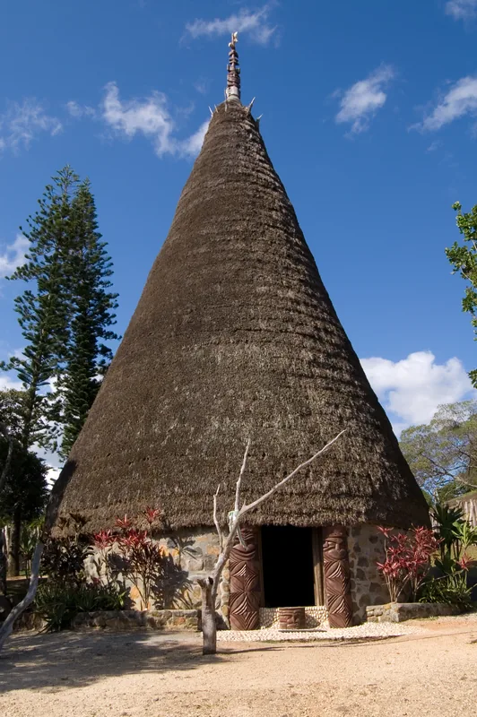
History & landmarks

Nature

More places