Plizio Visual Lab
Mont Sindoa
Weather…
Water temperature…
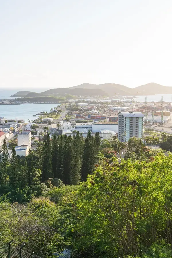
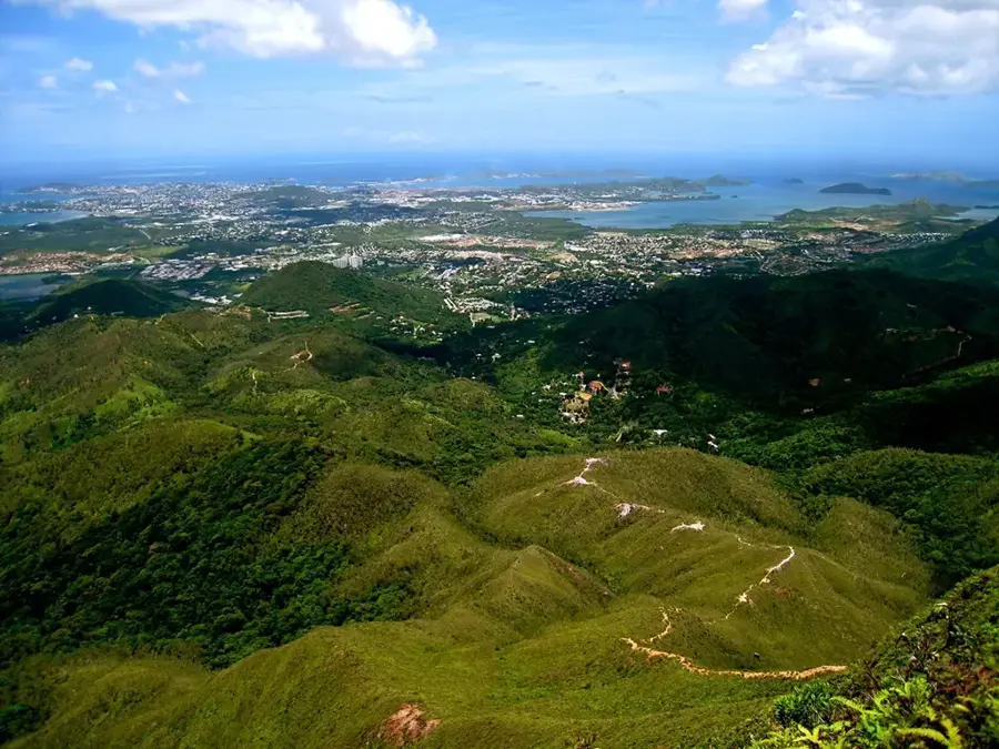
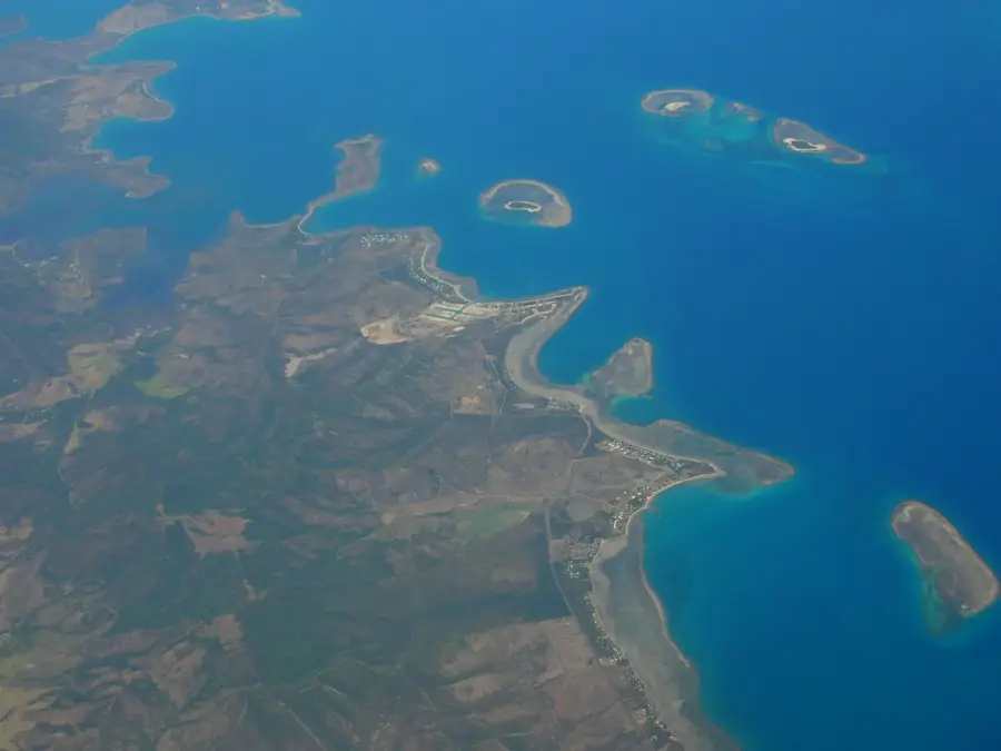
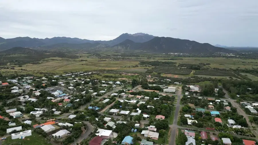
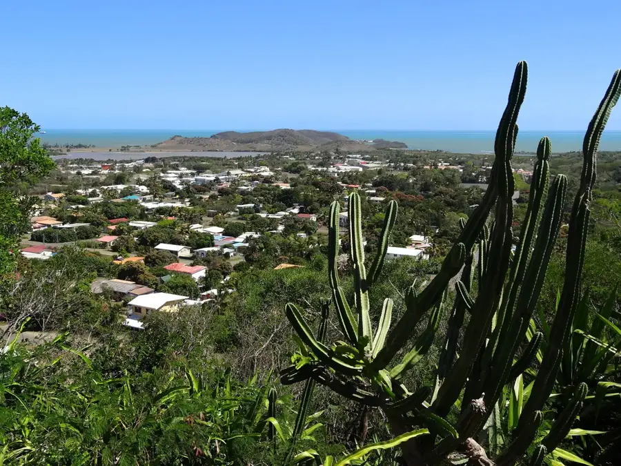
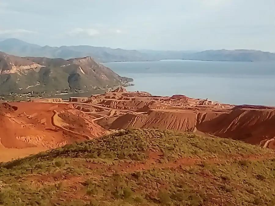
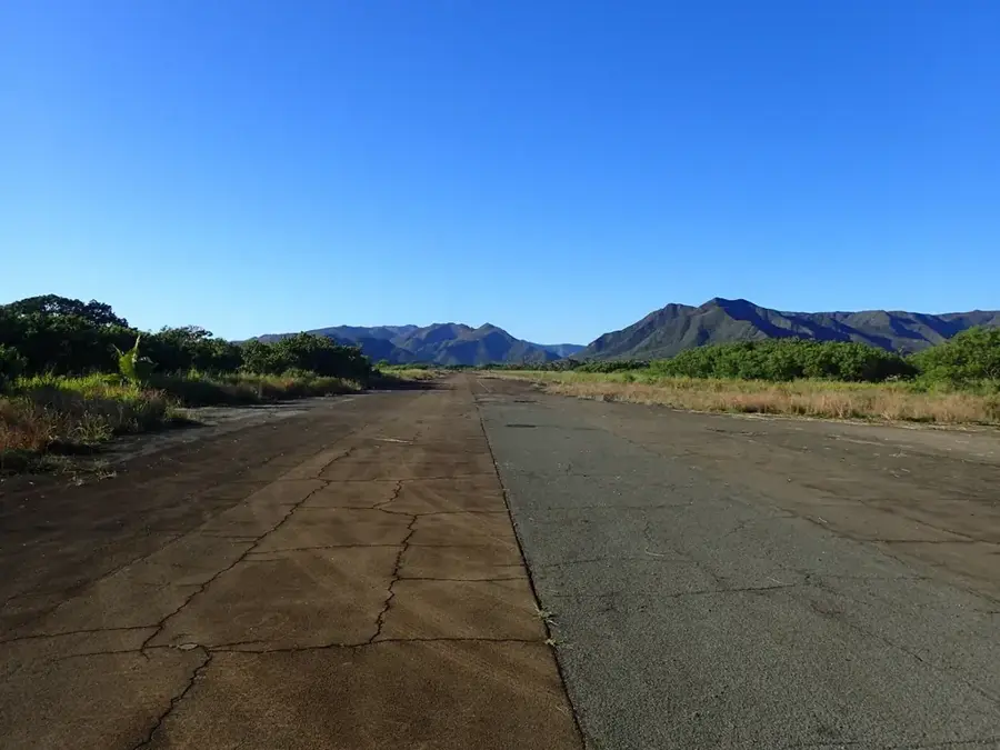
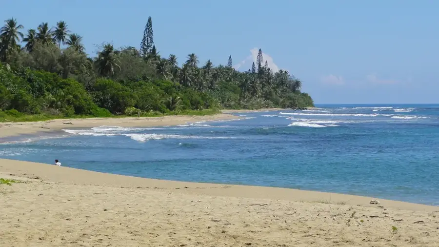
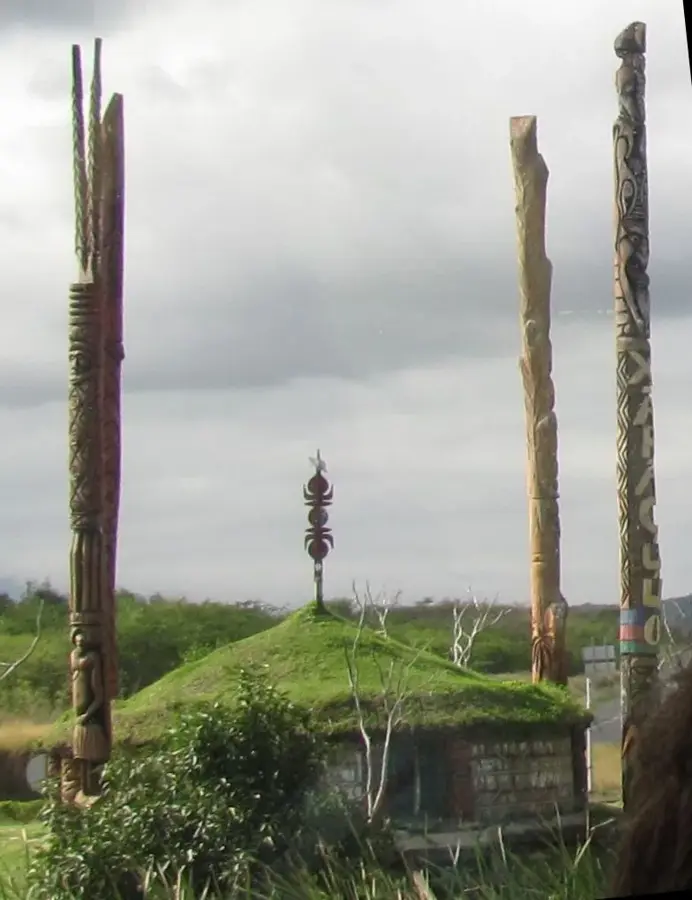
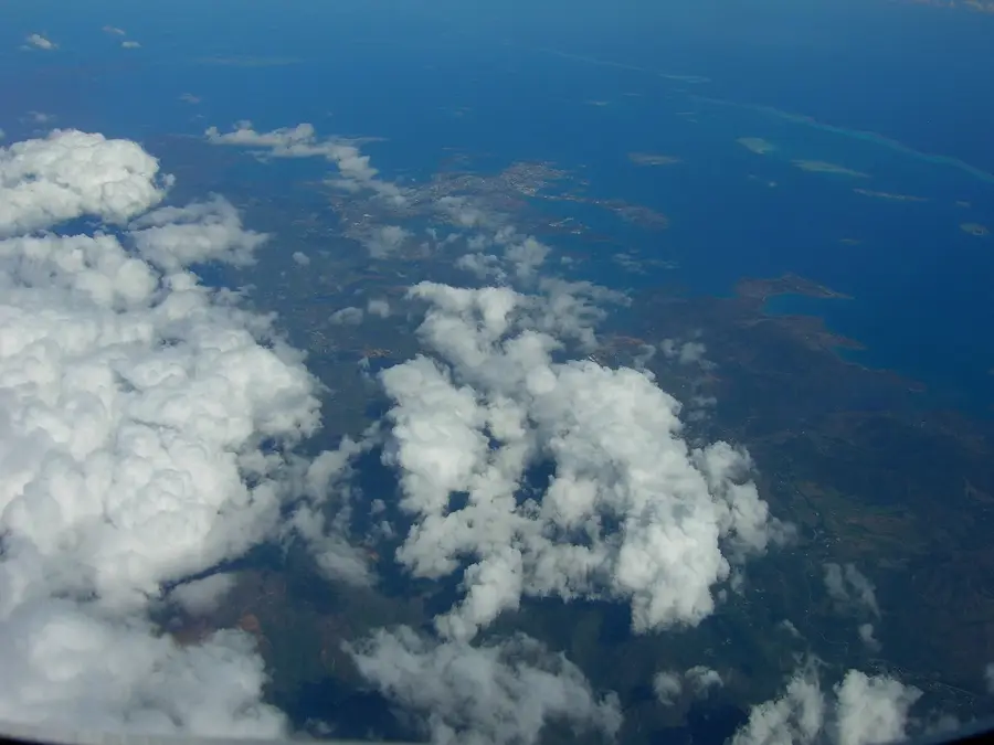
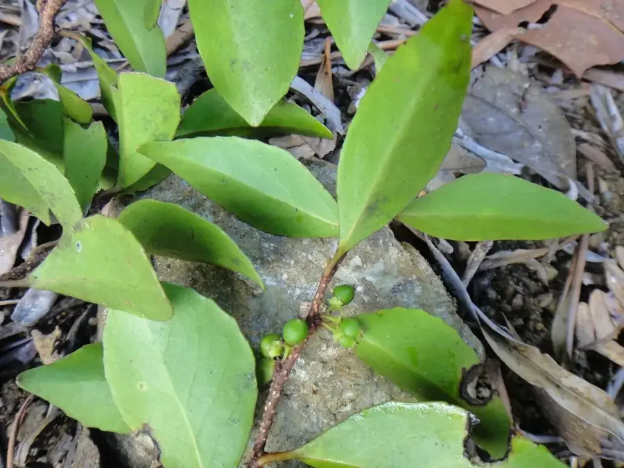
Mont Sindoa is an imposing peak in the north-central region of Grande Terre, New Caledonia, reaching an elevation of 1,380 meters. It is characterized by its exceptionally humid microclimate, as the summit is frequently enveloped in a thick layer of orographic clouds. This consistent moisture supports a lush cloud forest ecosystem, which is home to a high concentration of endemic species, including several rare types of mountain palms that are unique to this specific altitude. Geographically, Mont Sindoa acts as a vital watershed for the northern part of the island, with numerous streams originating on its slopes to feed the rivers flowing toward both coasts. The terrain is rugged and steep, offering a glimpse into the pristine wilderness of the interior chain. For those exploring the island's biodiversity, the mountain provides an exceptional example of New Caledonia’s high-altitude botanical wealth. Its mist-shrouded profile is a familiar sight in the central highlands, representing the wild and untouched heart of the territory's northern landscape.
- Location: New Caledonia
- Nearby: Houaïlou (19 km)
Best time to visit & climate
The most pleasant time to visit is Jul–Sep.
| Jan | Feb | Mar | Apr | May | Jun | Jul | Aug | Sep | Oct | Nov | Dec | |
|---|---|---|---|---|---|---|---|---|---|---|---|---|
| Avg °C | 27 | 27 | 27 | 25 | 24 | 23 | 21 | 21 | 22 | 23 | 25 | 26 |
| Rain mm | 182 | 174 | 240 | 146 | 108 | 92 | 62 | 57 | 53 | 60 | 84 | 131 |
📋 Practical info
Geography
Facts
- Summit elevation of 1,391 meters.
- Border of Thio and Canala municipalities.
- Part of the Central Range massif.
- High degree of endemism in the flora.
- Frequently shrouded in clouds and fog.
- Rugged terrain limits access.
Explore nearby
Notable places around
Route planner — Car & Motorhome
Where do you start? We build the route here, with stops and country notes along the way.
© OpenStreetMap contributors · OpenRouteService
Sights nearby
Frequently asked questions
Is Mont Sindoa easy to find?
How challenging is the terrain?
Is there water?
What is the best season for Mont Sindoa?
Is a group advisable?
Mont Sindoa: where is it located?
Mont Sindoa: when is the best time to visit?
Mont Sindoa: why is it worth visiting?

Nearby cities