Plizio Visual Lab
Mont Maoya
Weather…
Water temperature…
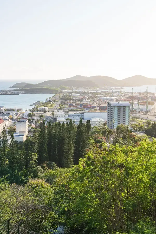
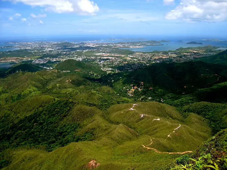
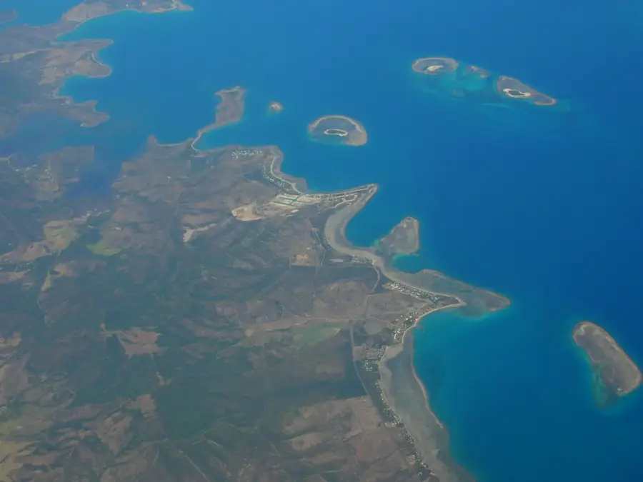
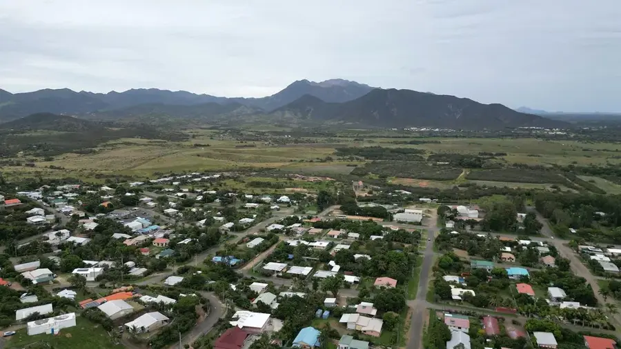
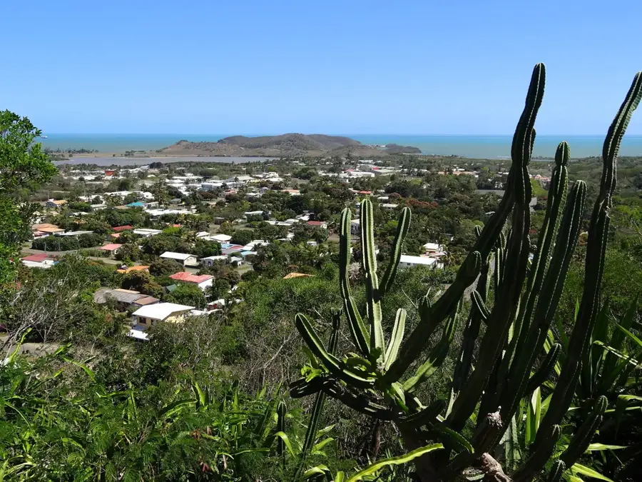
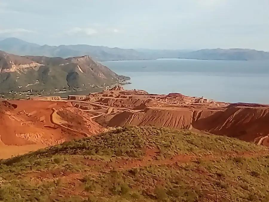
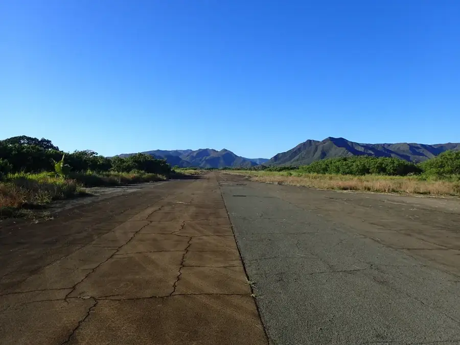
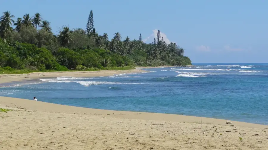
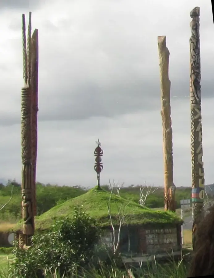
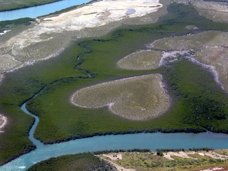
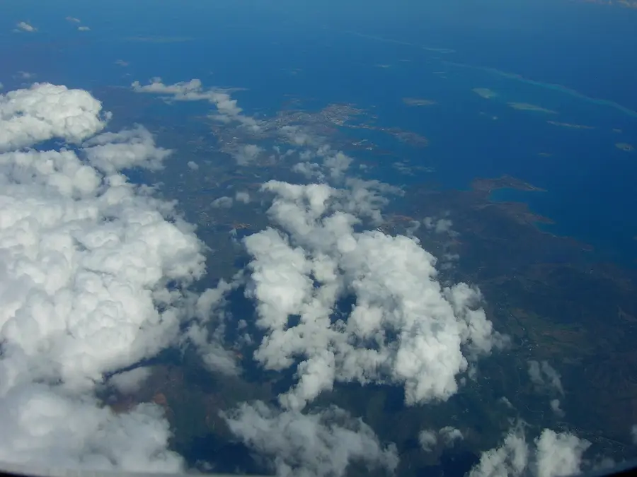
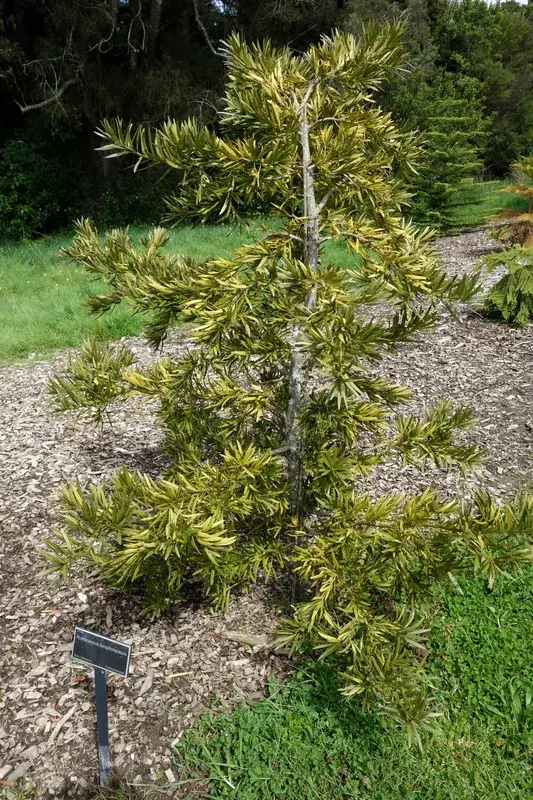
Mont Maoya is one of New Caledonia's most imposing peaks, standing at 1,508 meters as the highest point on the west coast of Grande Terre. Part of the rugged central mountain chain, it towers over the plains of the North Province, particularly near the towns of Koné and Voh. The mountain is renowned for its steep, dramatic ridges and its significant geological makeup, characterized by ultramafic rocks rich in nickel. This unique soil chemistry has fostered a highly specialized ecosystem featuring endemic flora that has adapted to high metal concentrations over millions of years. Hikers reaching its upper slopes are often treated to expansive views of the western lagoon and the coastal mangroves, provided the frequent mountain mists clear. Due to its relative isolation, Mont Maoya serves as a critical habitat for native bird species and rare highland plants, making it a site of high ecological value. Its massive presence is a constant landmark for those traveling along the RT1 highway through the northern territory.
- Location: New Caledonia
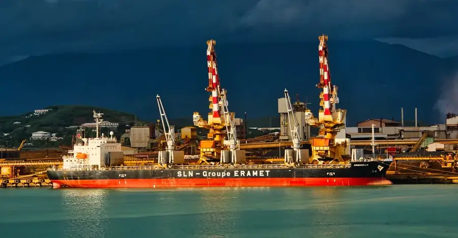
- Nearby: Poya (21 km)
Best time to visit & climate
The most pleasant time to visit is Jul–Sep.
| Jan | Feb | Mar | Apr | May | Jun | Jul | Aug | Sep | Oct | Nov | Dec | |
|---|---|---|---|---|---|---|---|---|---|---|---|---|
| Avg °C | 26 | 27 | 26 | 25 | 23 | 22 | 20 | 20 | 21 | 23 | 24 | 26 |
| Rain mm | 162 | 157 | 213 | 120 | 100 | 84 | 60 | 60 | 48 | 53 | 71 | 115 |
📋 Practical info
Geography
Facts
- Max elevation of 1,508 meters.
- Third highest mountain in New Caledonia.
- Boundary between South and North provinces.
- Home to rare cloud forest vegetation.
- Critical hydrographic node for the island.
- Part of a protected natural area.
Explore nearby
Notable places around
Route planner — Car & Motorhome
Where do you start? We build the route here, with stops and country notes along the way.
© OpenStreetMap contributors · OpenRouteService
Sights nearby
Frequently asked questions
Is Mont Maoya a destination for professionals?
What is the weather usually like?
Are there any dangers?
Is camping allowed?
What is the best equipment?
Mont Maoya: where is it located?
Mont Maoya: when is the best time to visit?
Mont Maoya: why is it worth visiting?

Nearby cities