Plizio Visual Lab
Mont Boulinda

Weather…
Water temperature…
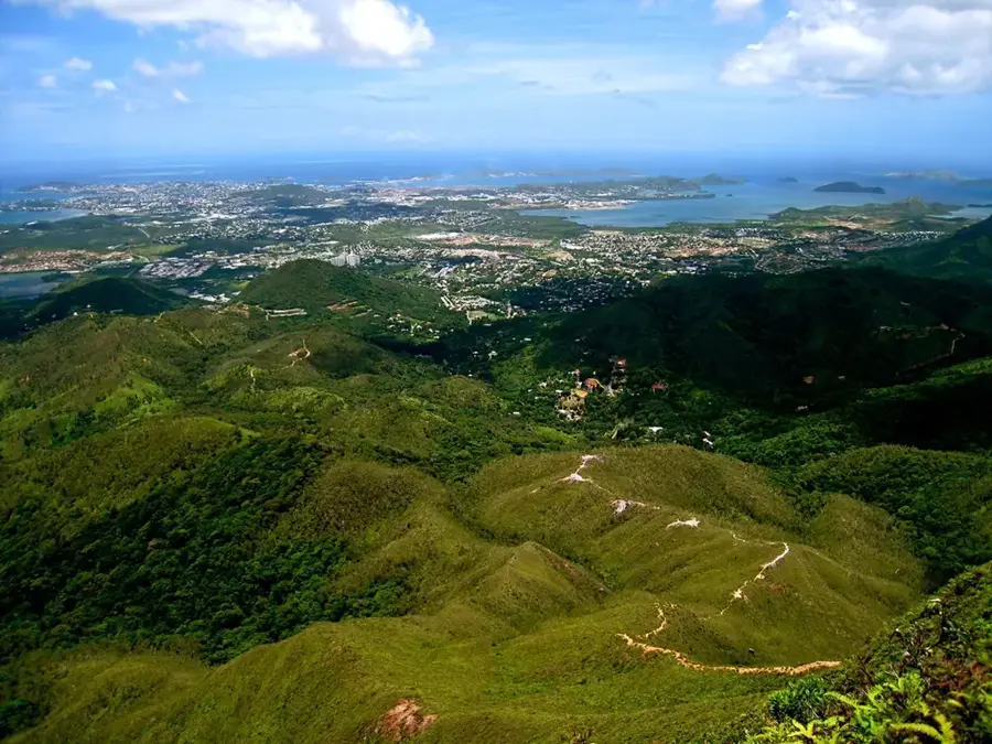
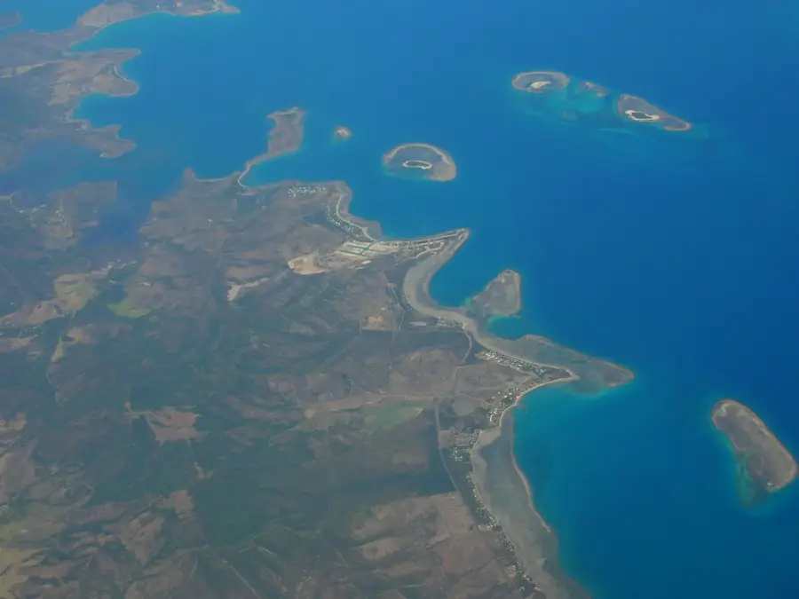
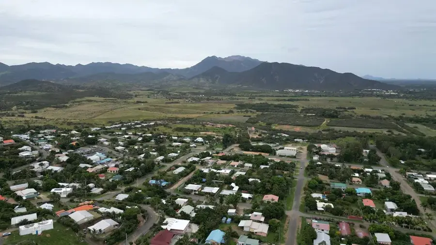
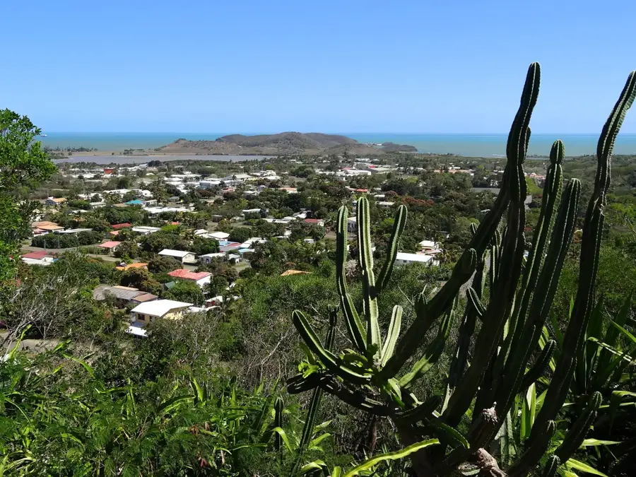
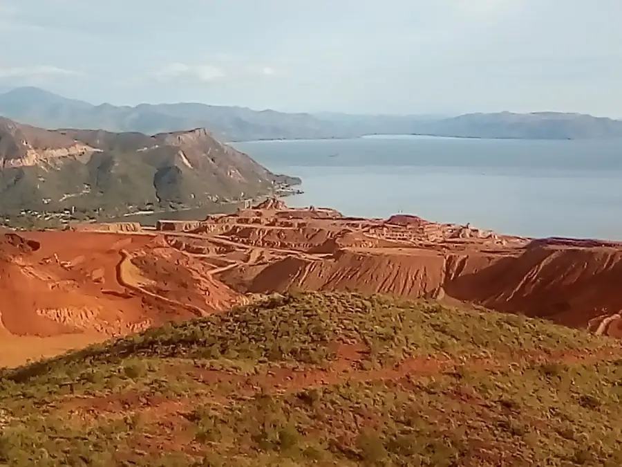
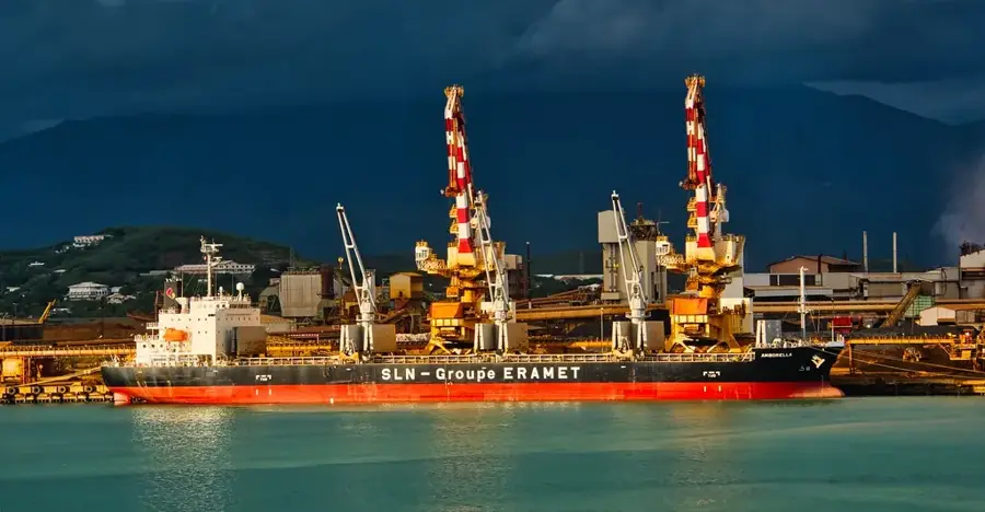
Rising to an elevation of 1,244 meters, Mont Boulinda is a prominent landmark on the west coast of New Caledonia, overlooking the Poya region. The mountain is part of a vast ultramafic massif, primarily composed of peridotite rocks that host some of the island's most extensive nickel deposits. Consequently, Mont Boulinda has become a cornerstone of the territory's mining industry, with the stepped terraces of open-cast mines carving a distinct industrial profile into its slopes. The harsh, mineral-rich soil has fostered the evolution of unique plant life, including numerous endemic species that form part of the resilient 'maquis' scrubland. To seafarers, the mountain's sharp silhouette against the sky has historically served as a vital navigational aid along the western coastline. Beyond its industrial utility, the upper reaches of the massif offer sweeping panoramic views of the coastal plains and the world-renowned New Caledonian lagoon, illustrating the complex intersection of natural beauty and resource extraction.
- Location: New Caledonia
- Nearby: Poya (15 km)
Best time to visit & climate
The most pleasant time to visit is Jul–Sep.
| Jan | Feb | Mar | Apr | May | Jun | Jul | Aug | Sep | Oct | Nov | Dec | |
|---|---|---|---|---|---|---|---|---|---|---|---|---|
| Avg °C | 26 | 27 | 26 | 25 | 23 | 22 | 21 | 21 | 22 | 23 | 24 | 26 |
| Rain mm | 150 | 152 | 213 | 118 | 97 | 83 | 56 | 54 | 44 | 47 | 69 | 104 |
📋 Practical info
Geography
Facts
- Reaches an elevation of 1,244 meters.
- Located in the municipality of Poya.
- Part of the Central Range of Grande Terre.
- Composed primarily of ultramafic rocks.
- Significant site for nickel mining activities.
- Habitat for rare metallophytic flora.
Explore nearby
Notable places around
Route planner — Car & Motorhome
Where do you start? We build the route here, with stops and country notes along the way.
© OpenStreetMap contributors · OpenRouteService
Sights in the town Mont Boulinda (1)
Sights nearby
Frequently asked questions
Is Mont Boulinda suitable for beginners?
What is the best season for mountaineering?
Do you need a permit?
How long does the climb usually take?
Are there water sources on Mont Boulinda?
Mont Boulinda: where is it located?
Mont Boulinda: when is the best time to visit?
Mont Boulinda: why is it worth visiting?

Nearby cities