Plizio Visual Lab
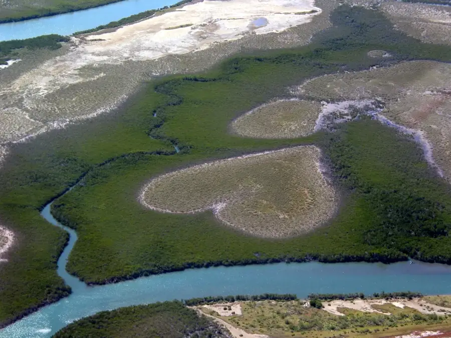
Heart of Voh Mangroves
Weather…
Water temperature…
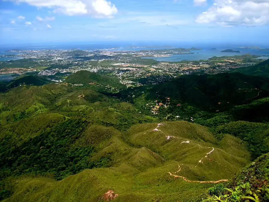
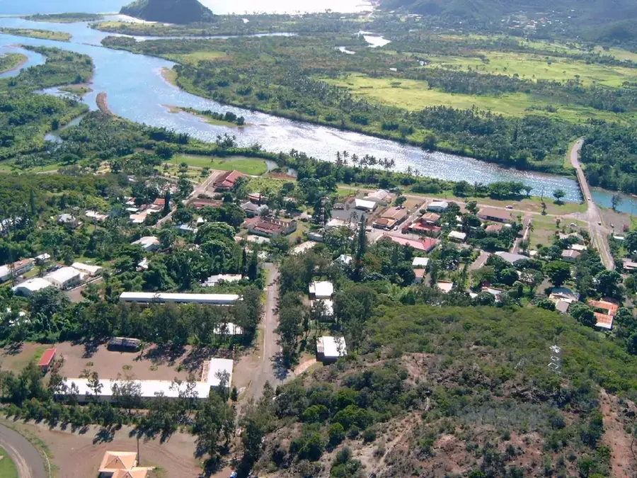
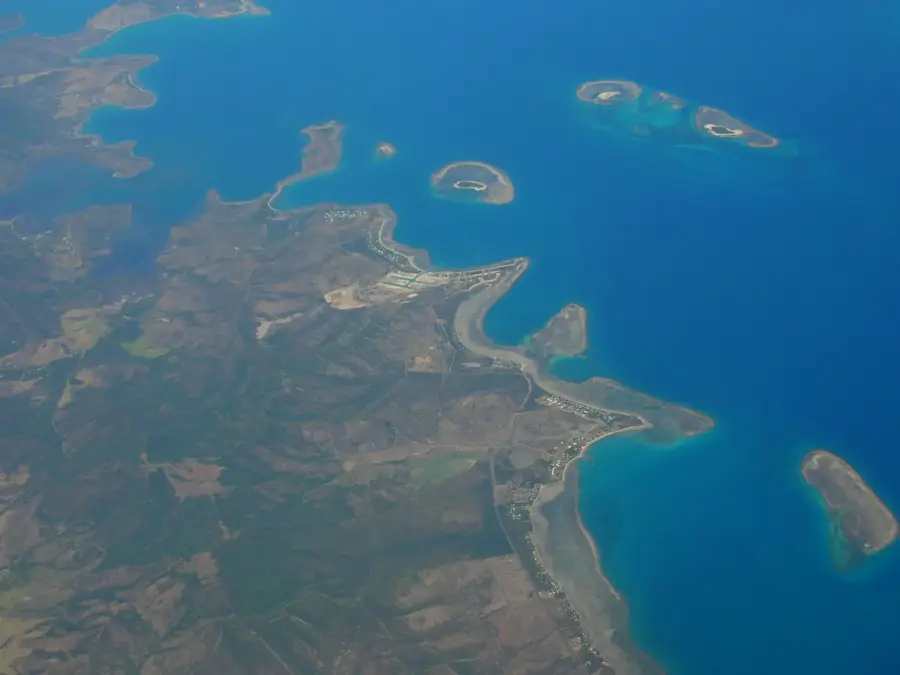
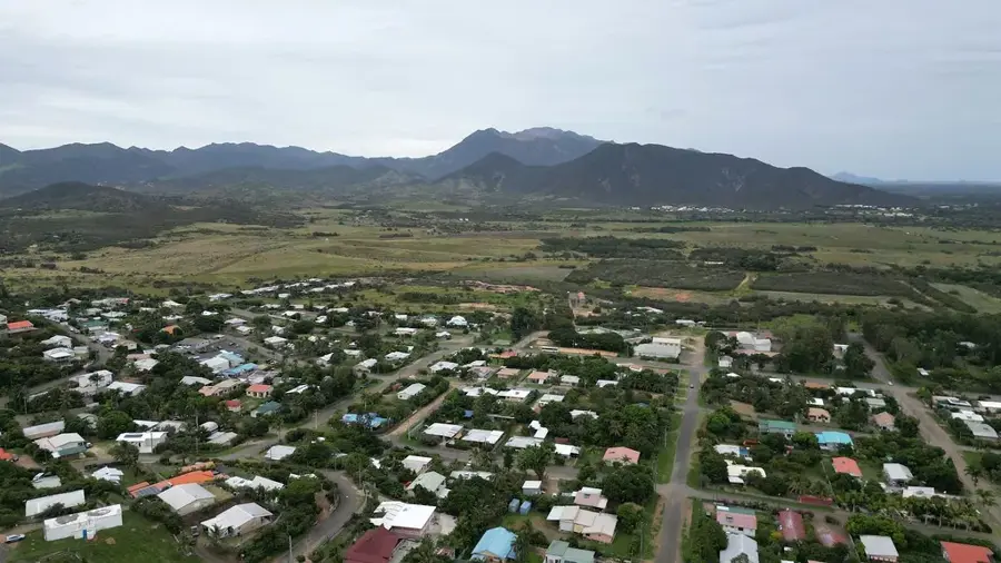
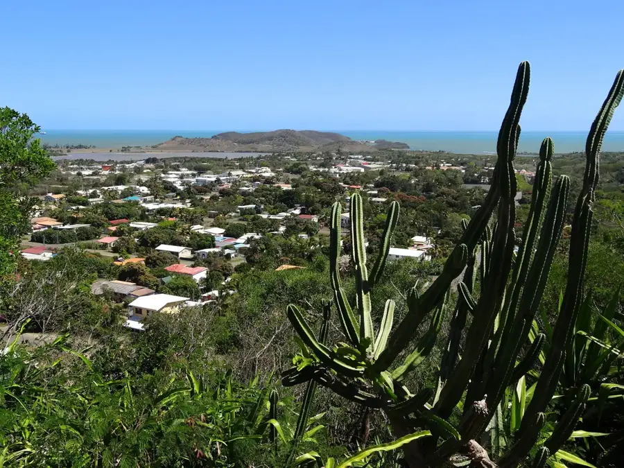
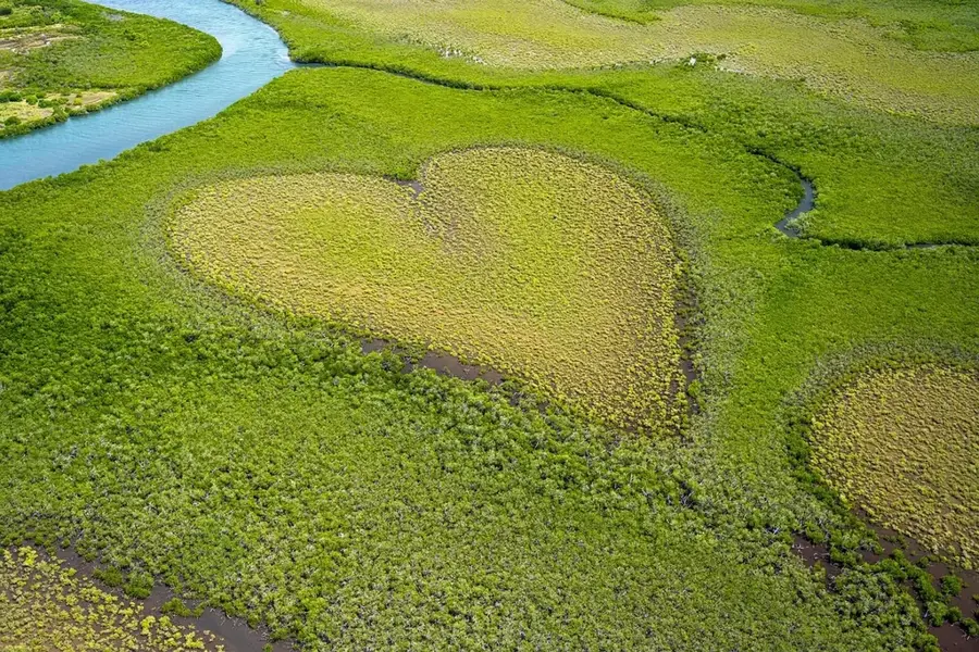
The "Heart of Voh" is a world-famous natural formation located within the mangroves on the northwest coast of New Caledonia. Spanning approximately four hectares, this clearing occurred naturally due to variations in soil salinity and, when viewed from above, reveals a nearly excellent heart shape. The formation gained international fame through the aerial photography of Yann Arthus-Bertrand, featuring prominently on the cover of his book "Earth from Above," and has since become a global symbol for environmental conservation. These clearings, known locally as "tan," are barren patches within the dense mangrove ecosystem, which is crucial for coastal protection and local fisheries. To see the heart clearly, visitors typically ascend the nearby Mount Voh, where observation points offer the best vantage for viewing the formation against the backdrop of the lagoon. The Heart of Voh is not only a remarkable natural wonder but also serves as a reminder of the fragility and ecological significance of Pacific coastal wetlands, remaining one of the territory's most iconic sights.
- Location: New Caledonia
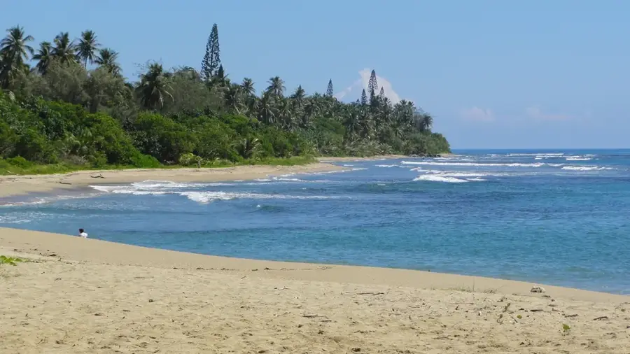
- Top sights: Coeur de Voh · Plage de Poaboaudifingue
- Nearby: Voh Pioneer History (6 km)
Best time to visit & climate
The most pleasant time to visit is Jul–Sep.
| Jan | Feb | Mar | Apr | May | Jun | Jul | Aug | Sep | Oct | Nov | Dec | |
|---|---|---|---|---|---|---|---|---|---|---|---|---|
| Avg °C | 27 | 27 | 27 | 26 | 24 | 23 | 22 | 21 | 22 | 24 | 25 | 26 |
| Rain mm | 133 | 151 | 203 | 113 | 91 | 75 | 47 | 46 | 35 | 38 | 59 | 93 |
📋 Practical info
Geography
Facts
- The formation consists of mangroves of the genus Avicennia.
- It is located near the commune of Voh.
- The heart-shaped clearing covers approximately 4 hectares.
- Featured on the cover of 'Earth from Above' in 1999.
- The shape is best viewed from the top of Mount Katépa.
- The phenomenon is known as a 'tanne' in mangrove ecology.
Explore nearby
Notable places around
Route planner — Car & Motorhome
Where do you start? We build the route here, with stops and country notes along the way.
© OpenStreetMap contributors · OpenRouteService
Sights in the town Heart of Voh Mangroves (2)
Sights nearby
Frequently asked questions
How can I best see the Heart of Voh?
When is the best time for a flight?
Is it possible to hike to the mangrove heart?
How long does the flight last?
Do I need a permit?
Heart of Voh Mangroves: where is it located?
Heart of Voh Mangroves: what is there to see?
Heart of Voh Mangroves: when is the best time to visit?
Heart of Voh Mangroves: why is it worth visiting?

Nearby cities