Plizio Visual Lab
Doukkala Region
Weather…
Water temperature…
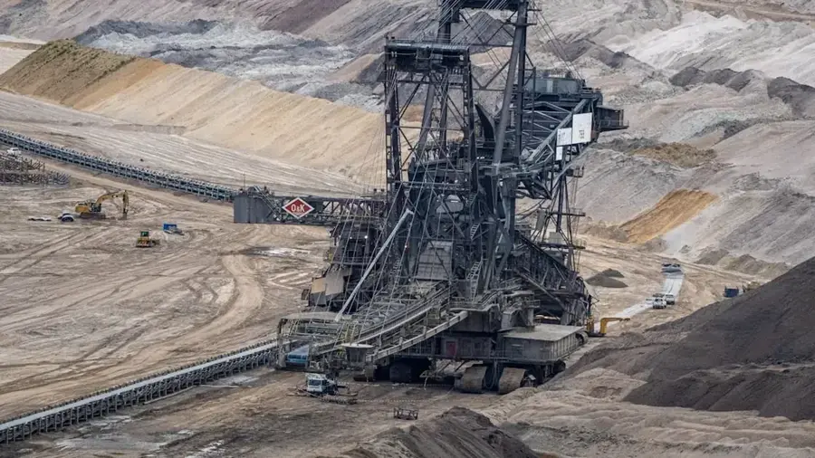
The Doukkala region, located along Morocco's Atlantic coast, is famously known as the 'granary of the kingdom' due to its status as one of the country's most productive agricultural zones. Centered around the cities of El Jadida and Sidi Bennour, the region is characterized by its vast plains and fertile 'tir' soils. The primary focus of its agriculture is the large-scale cultivation of cereals, such as wheat and barley, along with significant production of sugar beets. Doukkala relies heavily on advanced irrigation systems supplied by the Al Massira Dam, which has transformed the area into a year-round farming powerhouse. Beyond crop cultivation, the region is a leading center for cattle breeding and dairy production, providing a substantial portion of Morocco's national milk supply. Agriculture in Doukkala is highly mechanized, utilizing modern farming technology to maximize efficiency and output. The region's strategic importance for national food security makes it a vital contributor to the Moroccan economy and a major supplier to the food processing industry. The scenic landscape of endless golden wheat fields and green beet plantations defines the rural charm of the Doukkala plains.
- Location: Morocco
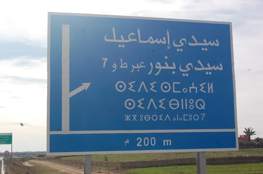
- Nearby: Sidi Bennour (17 km)
Best time to visit & climate
The most pleasant time to visit is May, Jun, Oct.
| Jan | Feb | Mar | Apr | May | Jun | Jul | Aug | Sep | Oct | Nov | Dec | |
|---|---|---|---|---|---|---|---|---|---|---|---|---|
| Avg °C | 12 | 13 | 15 | 17 | 20 | 23 | 25 | 26 | 24 | 21 | 17 | 14 |
| Rain mm | 42 | 40 | 44 | 30 | 20 | 3 | 2 | 2 | 25 | 36 | 84 | 49 |
📋 Practical info
Geography
Facts
- Recognized as the primary cereal-growing region of Morocco.
- Sidi Bennour hosts the largest regional weekly market in the country.
- Irrigation is largely supplied by the Al Massira Dam network.
- Leader in the national production of sugar beets for sugar factories.
- Provides roughly 20% of Morocco's total dairy production.
- The agricultural land in the region exceeds 400,000 hectares.
Explore nearby
Notable places around
Route planner — Car & Motorhome
Where do you start? We build the route here, with stops and country notes along the way.
© OpenStreetMap contributors · OpenRouteService
Sights nearby
Frequently asked questions
What makes agriculture in Doukkala special?
Can travelers visit the fields?
When is the grain harvest?
Are there typical local markets there?
Is the Doukkala region flat?
Doukkala Region: where is it located?
Doukkala Region: when is the best time to visit?
Doukkala Region: why is it worth visiting?

Nearby cities
Nature
More places