Plizio Visual Lab
Revoires Slope

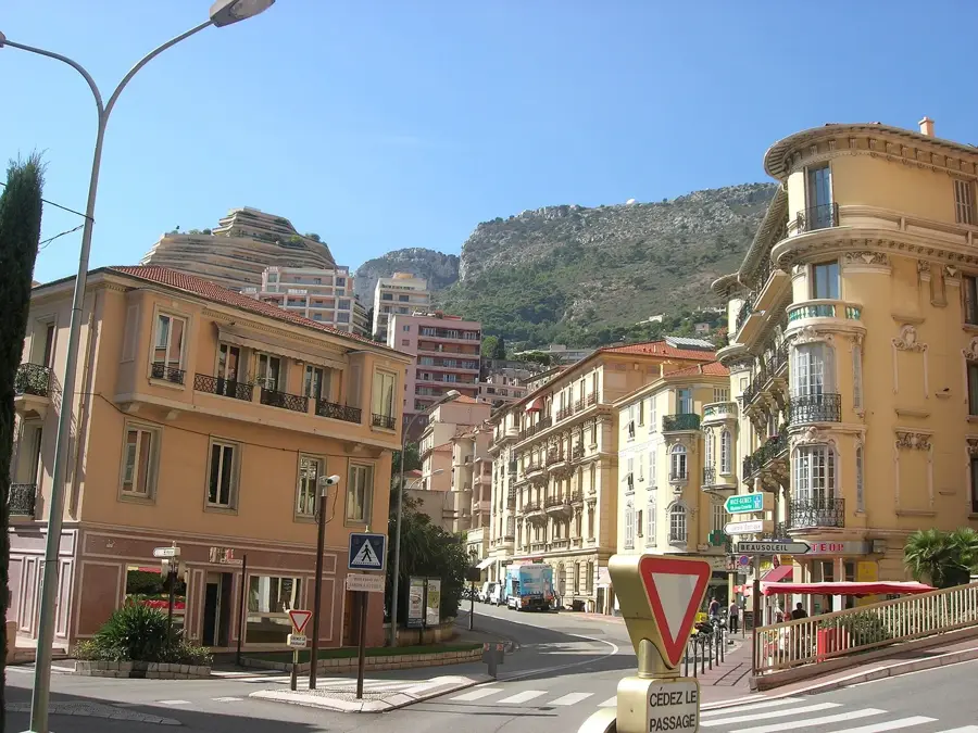
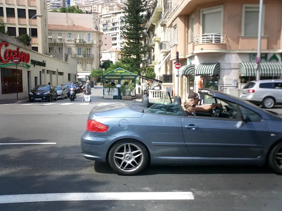
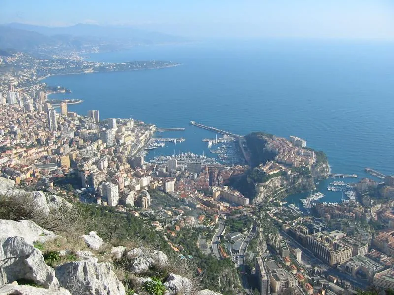
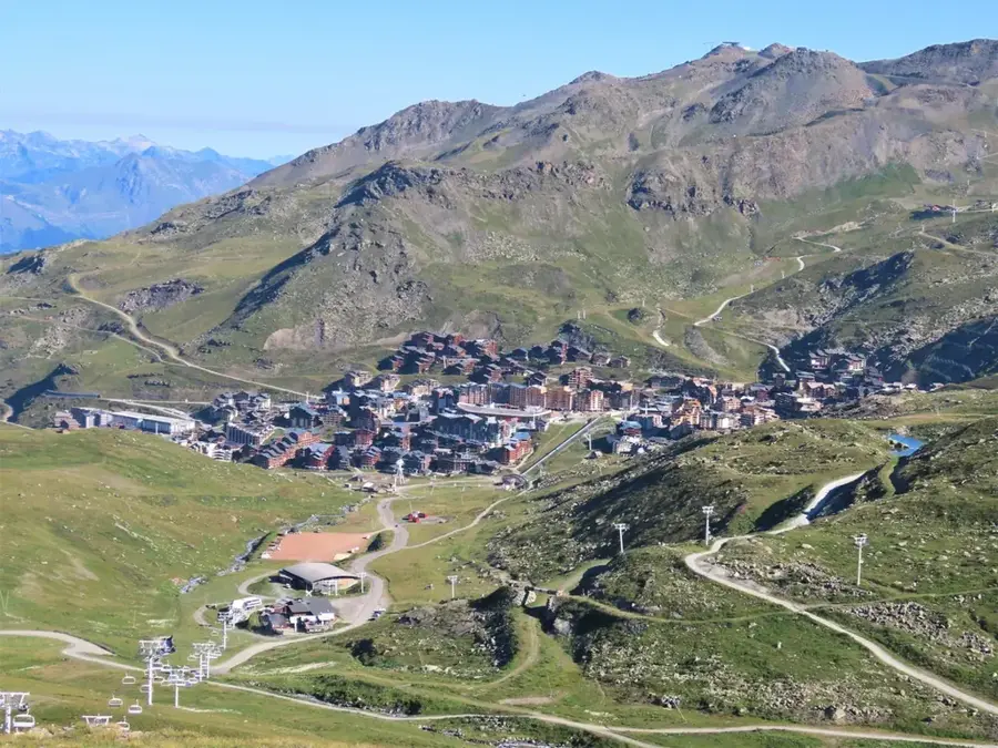
The Chemin des Révoires marks the highest geographical point in the Principality of Monaco, situated on the slopes of Mont Agel. With an elevation of approximately 161 meters above sea level, this area is characterized by a steep relief that geologically belongs to the foothills of the Maritime Alps. The inclination of the terrain required complex engineering solutions during urban development to securely anchor residential buildings and transportation routes. Historically, this area was less densely populated than the coastal regions due to its exposed location, but it evolved into a highly sought-after residential district during the 20th century. In the immediate vicinity lies the Jardin Exotique, which utilizes the calcareous soil composition and the microclimate of the steep slope. The view from this point encompasses the entire Principality as well as the adjacent French communes of Beausoleil and Cap-d'Ail.
- Location: Monaco
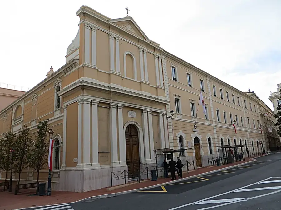
- Top sights: Église Saint-Martin · Théâtre des Muses · Musée d'Anthropologie Préhistorique
Best time to visit & climate
The most pleasant time to visit is Jun, Jul, Sep.
| Jan | Feb | Mar | Apr | May | Jun | Jul | Aug | Sep | Oct | Nov | Dec | |
|---|---|---|---|---|---|---|---|---|---|---|---|---|
| Avg °C | 11 | 11 | 12 | 14 | 17 | 21 | 24 | 24 | 22 | 18 | 15 | 12 |
| Rain mm | 55 | 53 | 62 | 56 | 48 | 29 | 17 | 23 | 47 | 88 | 123 | 81 |
📋 Practical info
Geography
Facts
- Highest point in Monaco at 161.4 meters
- Located within the Les Révoires district
- Average gradient exceeds 20 percent in sections
- Geological formation of Mesozoic limestone
- Site of the Jardin Exotique since 1933
- Borders directly with the French commune of Beausoleil
Explore nearby
Notable places around
Route planner — Car & Motorhome
Where do you start? We build the route here, with stops and country notes along the way.
© OpenStreetMap contributors · OpenRouteService
Sights in the town Revoires Slope (10)
Jardin exotique - allée louis Barral
Viewpoint overlooking Monaco and the sea.
Jardin Exotique
Botanical garden featuring succulents and a panorama.
The Cars collection of HSH the Prince of Monaco🏛 museum
Car museum in Fontvieille with historic vehicles.
Le Jardin Animalier
Zoological garden of the Principality of Monaco.
Espace Léo Ferré
Arts centre hosting concerts and exhibitions.
Musée des Timbres et des Monnaies🏛 museum
Postal history and Monegasque coins dating to 1640.
Sights nearby
Frequently asked questions
How steep is the Revoires slope?
Are there public elevators on the slope?
What kind of buildings are found here?
Is hiking on the slope recommended?
Does Boulevard de Belgique run along here?
Revoires Slope: where is it located?
Revoires Slope: what is there to see?
Revoires Slope: when is the best time to visit?
Revoires Slope: why is it worth visiting?

Nearby cities

History & landmarks
More places