Plizio Visual Lab
Central Plateau
Weather…
Water temperature…
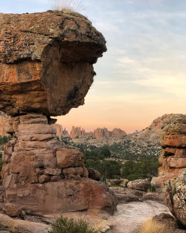
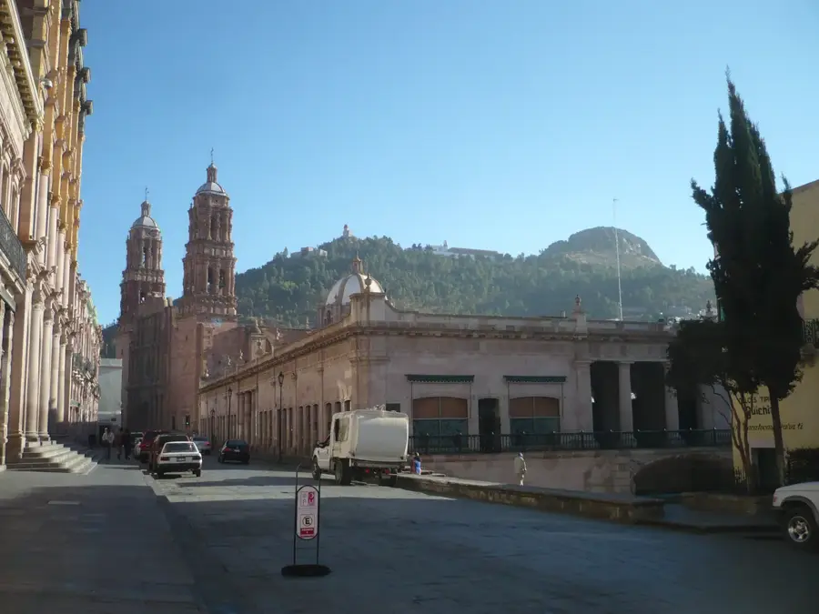
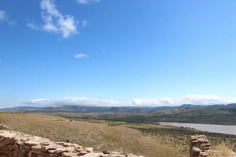
The Mexican Central Plateau, or Altiplano Mexicano, is a vast upland region set between the Sierra Madre Oriental and the Sierra Madre Occidental. Covering much of northern and central Mexico, it maintains an average elevation ranging from 1,000 to 2,000 meters above sea level. The plateau is bounded to the south by the Trans-Mexican Volcanic Belt and is topographically divided into the more arid northern Mesa del Norte and the relatively wetter southern Mesa Central. This region is the historical and economic heartland of Mexico, containing significant mining districts and productive agricultural zones such as the Bajío. Geologically, the plateau is composed of a mix of sedimentary and volcanic rocks shaped by Cenozoic tectonic uplift. Due to the rain shadow effect of the flanking mountain ranges, the north experiences a semi-arid climate, while the south enjoys more temperate conditions.
- Location: Mexico
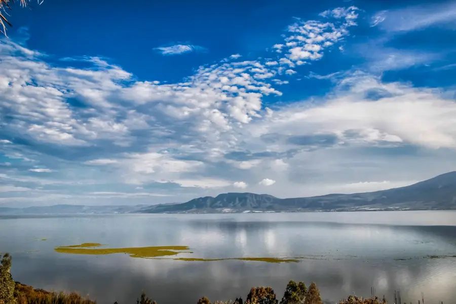
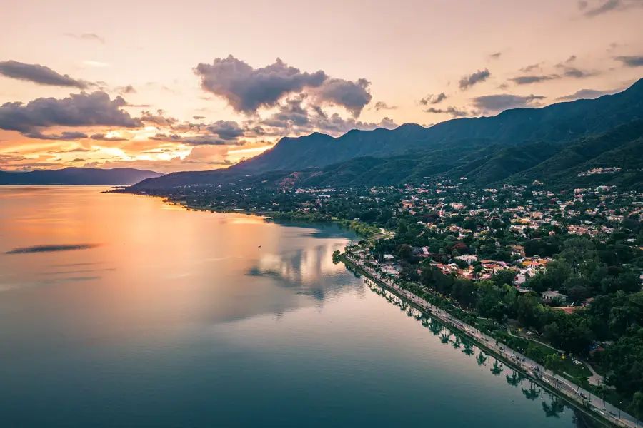
- Nearby: Chapala (71 km)
Best time to visit & climate
The most pleasant time to visit is Apr–Jun.
| Jan | Feb | Mar | Apr | May | Jun | Jul | Aug | Sep | Oct | Nov | Dec | |
|---|---|---|---|---|---|---|---|---|---|---|---|---|
| Avg °C | 10 | 12 | 14 | 17 | 20 | 21 | 19 | 19 | 17 | 16 | 13 | 10 |
| Rain mm | 13 | 17 | 8 | 3 | 15 | 69 | 110 | 98 | 106 | 35 | 14 | 10 |
📋 Practical info
Geography
Facts
- Covers approximately 40% of Mexico's total land area.
- Average elevation ranges between 1,000 and 2,000 meters.
- Topographically split into Mesa del Norte and Mesa Central.
- Contains the Bajío, Mexico's "breadbasket" for agriculture.
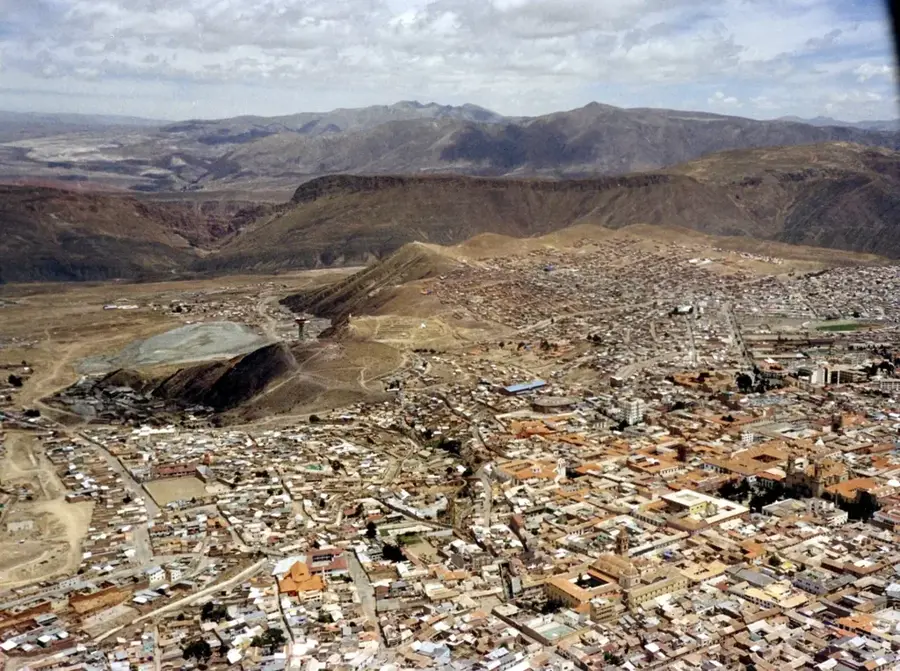
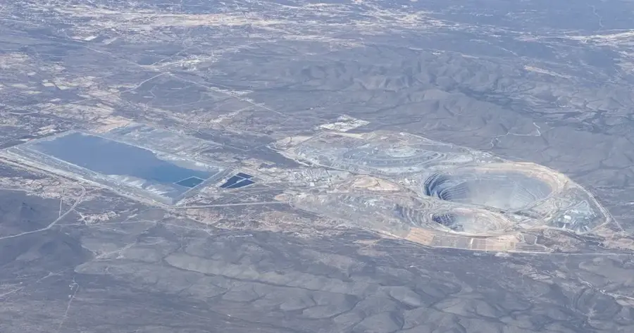
- Zacatecas and Guanajuato were global silver mining centers since 1546.
- Bounded by three major mountain ranges: Oriental, Occidental, and Trans-Mexican.
Explore nearby
Notable places around
Route planner — Car & Motorhome
Where do you start? We build the route here, with stops and country notes along the way.
© OpenStreetMap contributors · OpenRouteService
Sights nearby
Frequently asked questions
When is the best time to visit?
How high is the plateau?
Are there good hiking trails?
Do I need a car?
Is the local cuisine special?
Central Plateau: where is it located?
Central Plateau: when is the best time to visit?
Central Plateau: why is it worth visiting?

Nearby cities
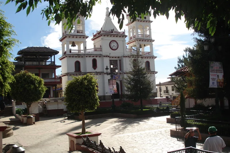
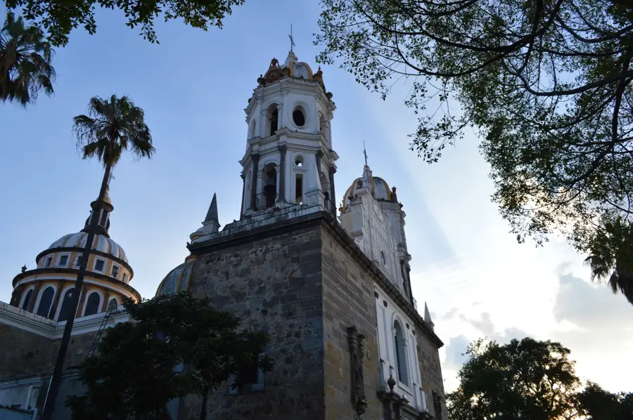
History & landmarks
More places