Plizio Visual Lab
El Tomate
ℹ️Practical info — El Tomate
▾
🌤 Weather — 5 days
📍 Nearby
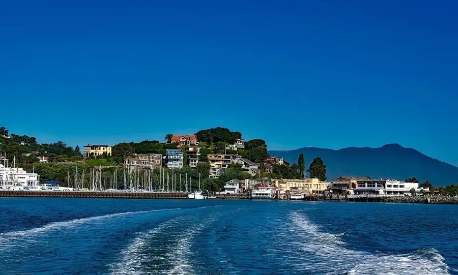
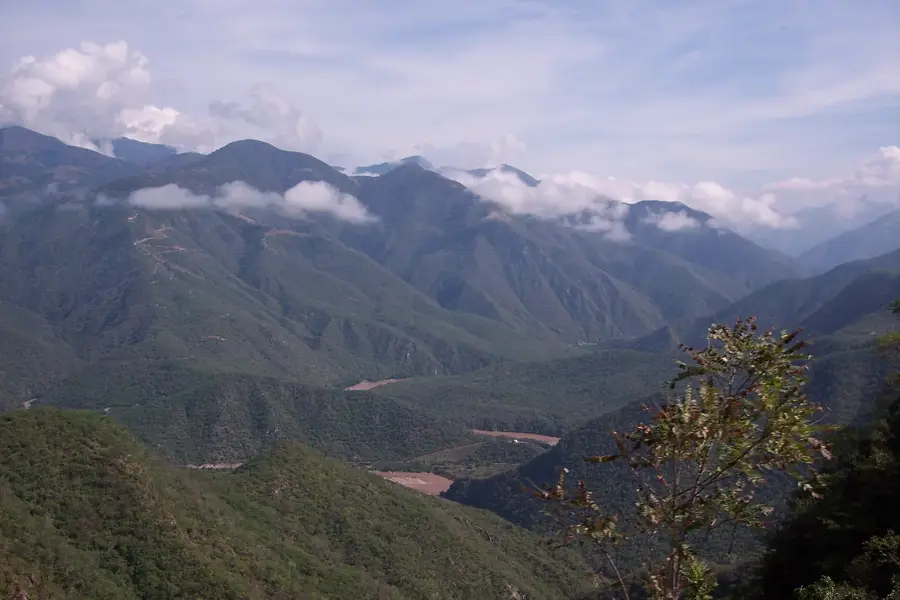
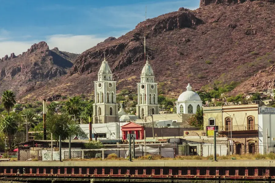
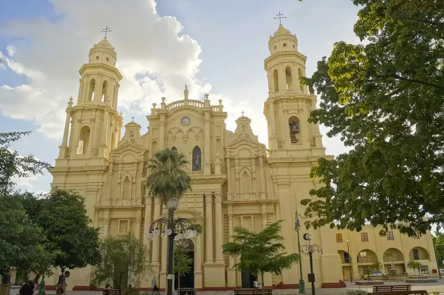
Sights nearby
💡 Tips
- This is a remote, undeveloped area. Bring plenty of drinking water, shade, and sun protection as there are very few facilities.
- The rocky shoreline is beautiful but can be sharp. Wear sturdy water shoes if you plan to explore the tide pools.
- Mobile phone reception can be spotty or non-existent. Download offline maps before you leave the main highway.
- The contrast between the Sonora desert and the Sea of Cortez makes for incredible photography, especially at sunset.
🍽 Food
Local fishermen often harvest bivalves nearby; bring your own limes and hot sauce just in case.
A traditional grilled fish of the region. Look for rustic, family-run palapas along the coastal access roads.
A Sonoran coastal specialty you might find in nearby larger towns or local food stands.
🛍 Shopping · 🧘 Quiet spots
Shopping is extremely limited, but you might find locals selling polished shells or desert wood carvings.
Stock up on all your groceries and snacks in the nearest large town before heading out to the coast.
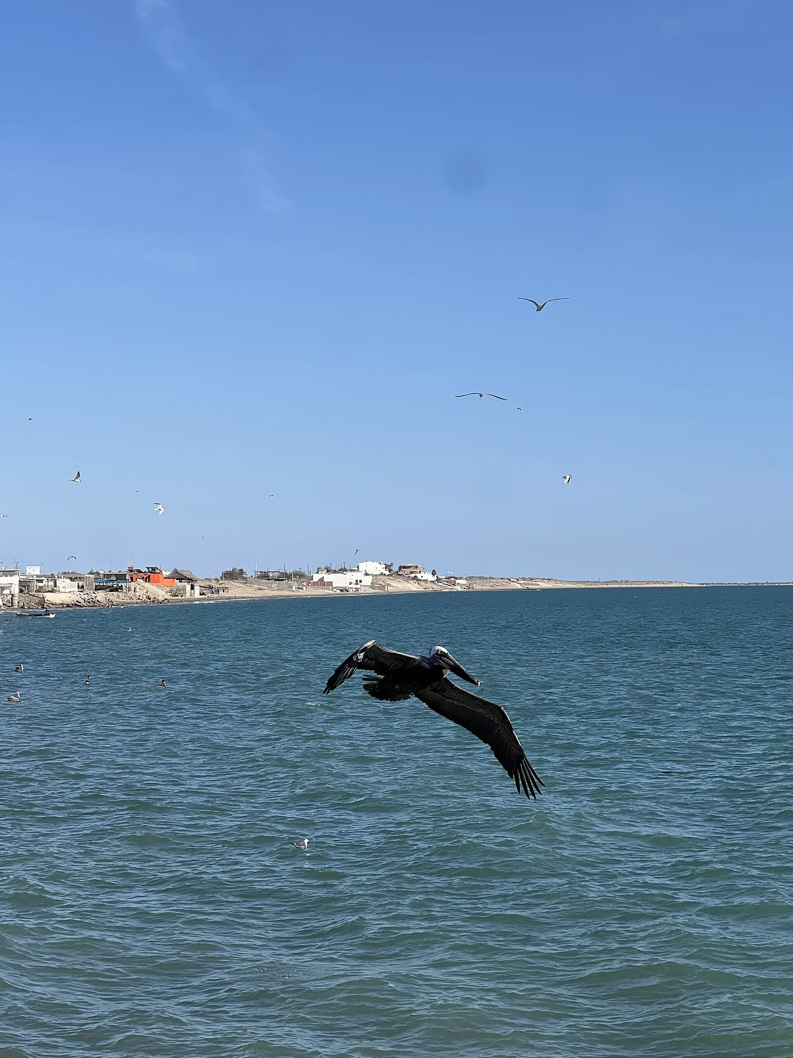
Find an isolated stretch of the rocky beach to listen to the waves and watch the pelicans dive.
Take a quiet walk among the saguaros and desert shrubs just inland from the water's edge.
Water temperature…
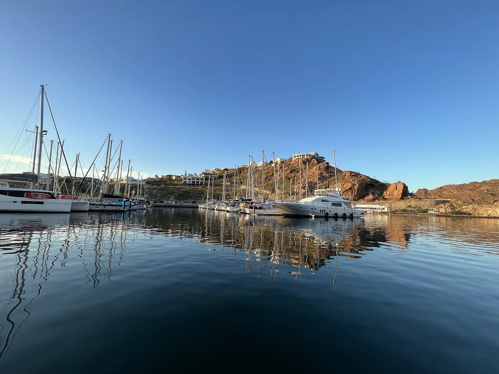
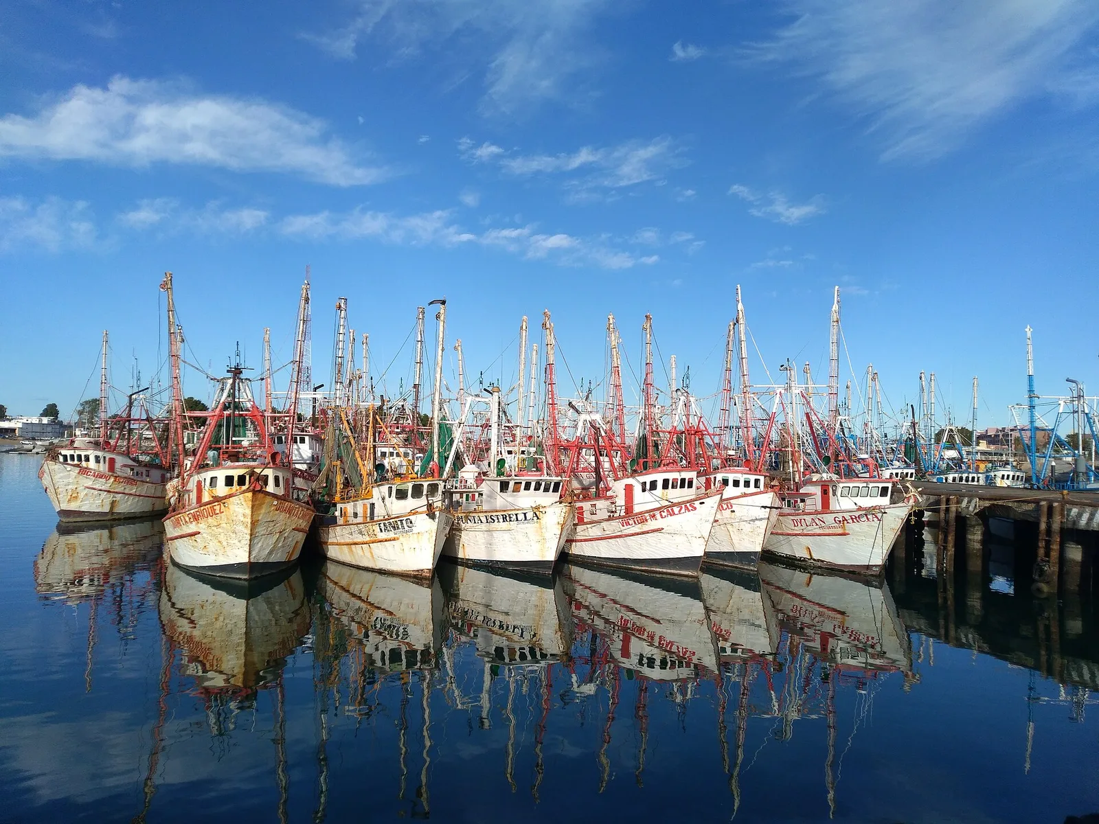
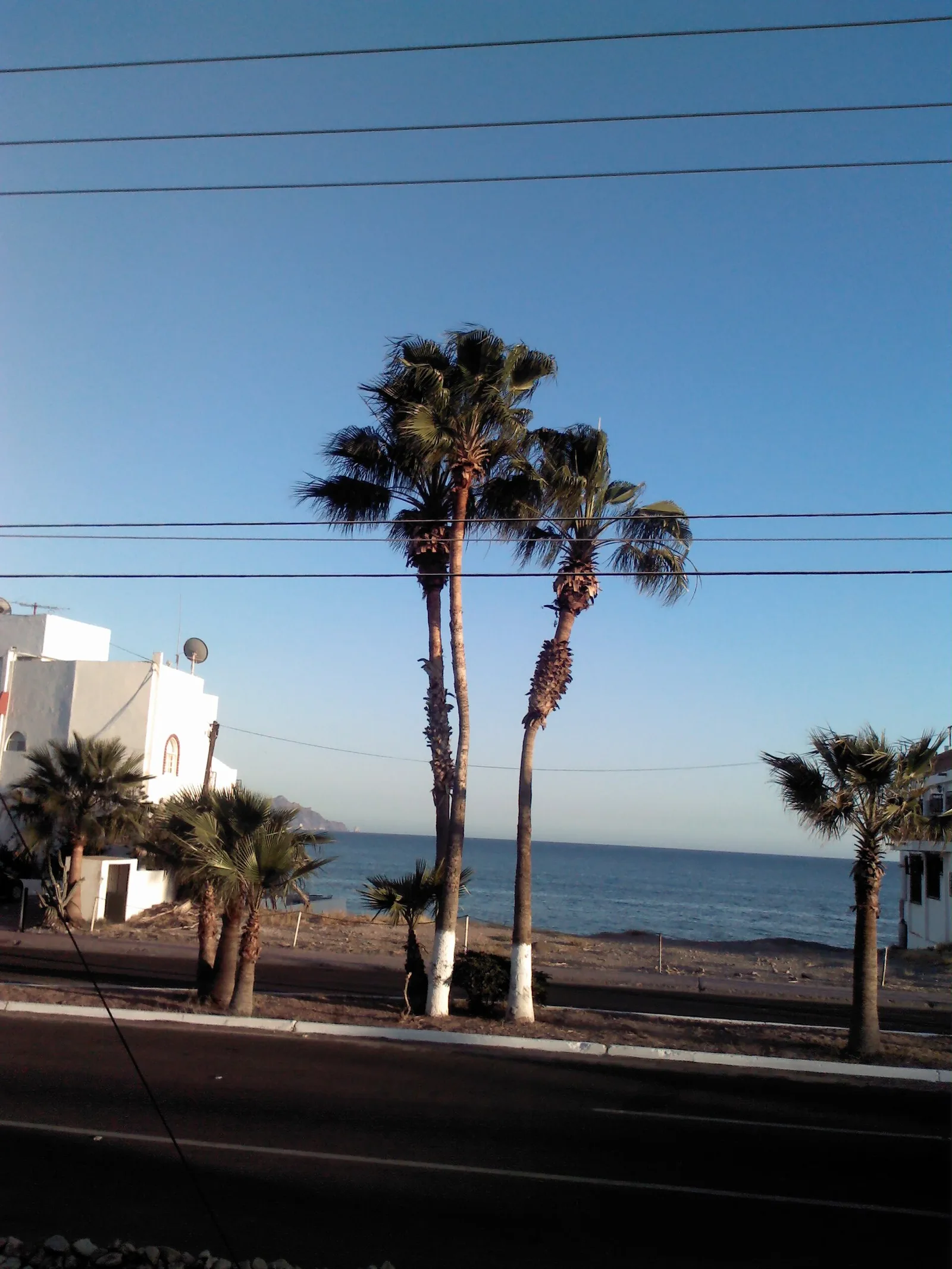
El Tomate is a remarkable coastal stretch located in the state of Sonora, Mexico, near the animated town of San Carlos. The geography here is a dramatic meeting point between the arid Sonoran Desert and the crystal-clear waters of the Gulf of California. Known for its rugged beauty and tranquil environment, El Tomate has a peaceful alternative to more developed tourist hubs. The landscape is dotted with towering cacti and jagged cliffs that frame the deep blue horizon. The coastline is defined by its unique stone-covered beaches, with **Playa de Piedras** and **Piedras Pintas** being the most prominent landmarks. These 'painted stone' beaches offer incredibly clear water, making them top-tier spots for snorkeling and scuba diving. Without the sediment of sandy beaches, visibility is often exceptional, allowing divers to see a kaleidoscope of tropical fish and marine life. Kayaking along the coastline reveals hidden grottos and secluded coves accessible only from the sea. Outdoor enthusiasts can enjoy hiking the surrounding hills for panoramic views of the Gulf, especially at sunset when the rocks glow in spirited hues of orange and red. Local seafood is a highlight, with shrimp and fish caught daily and served in nearby San Carlos eateries. El Tomate is accessible via coastal roads from San Carlos, providing a scenic drive that showcases the raw, natural splendor of northern Mexico's shoreline.
- Location: Mexico
- Nearby: Campo Pesquero la Manga (8 km)
- Population: ~2.264 (2018)
Best time to visit & climate
The most pleasant time to visit is Mar, Apr, Nov.
| Jan | Feb | Mar | Apr | May | Jun | Jul | Aug | Sep | Oct | Nov | Dec | |
|---|---|---|---|---|---|---|---|---|---|---|---|---|
| Avg °C | 17 | 17 | 19 | 21 | 24 | 28 | 30 | 31 | 30 | 27 | 22 | 18 |
| Rain mm | 10 | 9 | 6 | 1 | 0 | 10 | 67 | 67 | 81 | 16 | 10 | 6 |
Geography
Facts
- Gulf of California
- Sonoran Desert coast
- Piedras Pintas beach
- Snorkeling spot
- Rugged rock formations
- Clear blue waters
- Seafood gastronomy
- San Carlos proximity
Explore nearby
Notable places around
Route planner — Car & Motorhome
Where do you start? We build the route here, with stops and country notes along the way.
© OpenStreetMap contributors · OpenRouteService
Sights in the town El Tomate (1)
Frequently asked questions
What is El Tomate?
Are there tourist accommodations?
Is it worth a visit?
What is the weather like?
What language is spoken?
El Tomate: where is it located?
El Tomate: when is the best time to visit?
El Tomate: why is it worth visiting?

Nearby cities


More places