Plizio Visual Lab
Tiburon Island
Weather…
Water temperature…
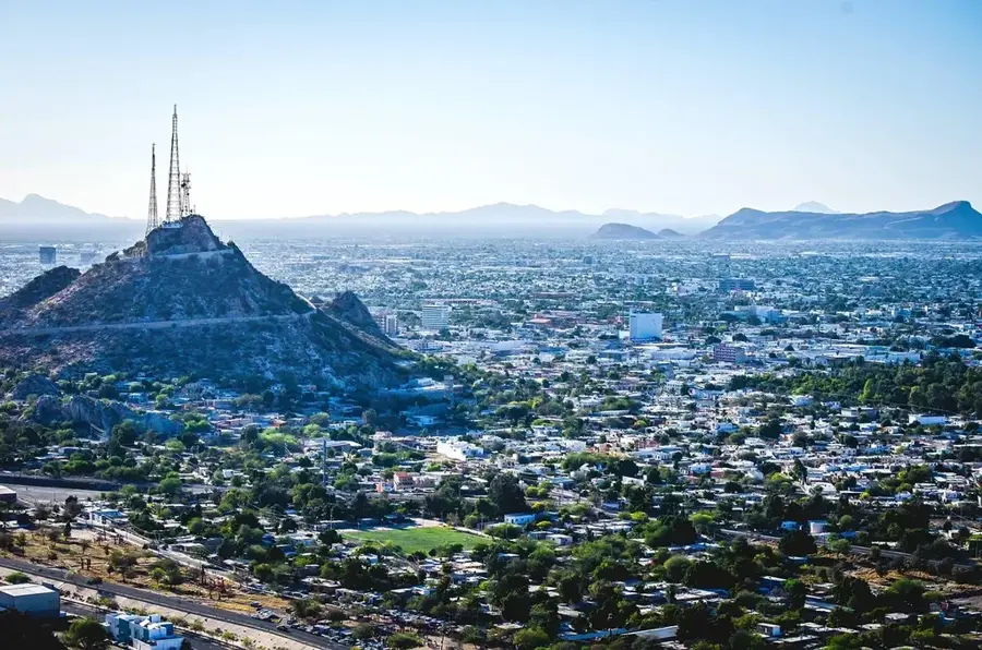
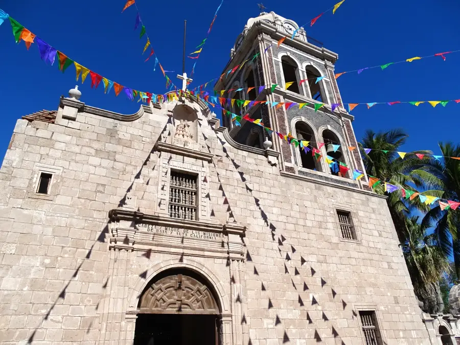
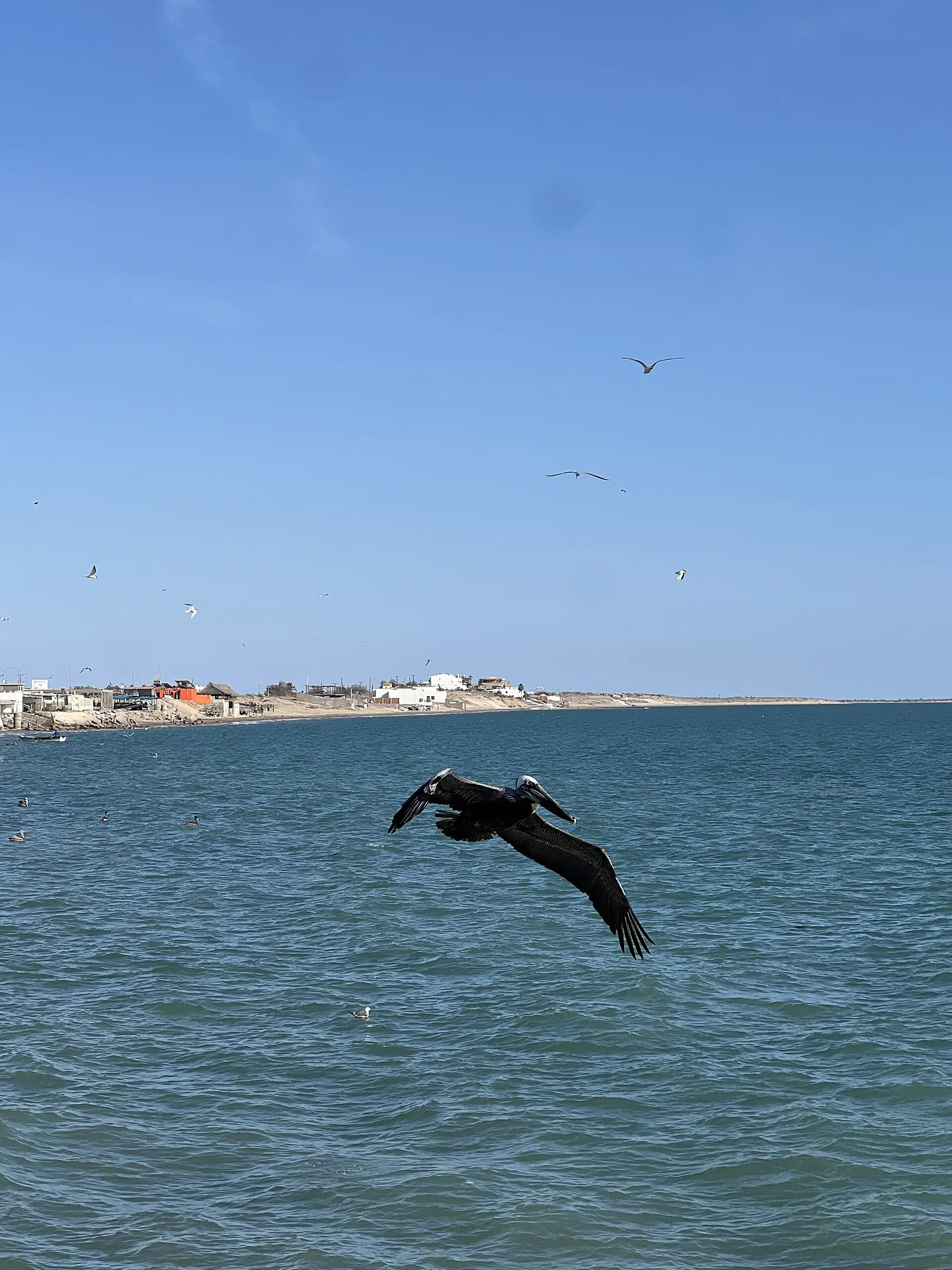
Isla Tiburón, or 'Shark Island,' is the largest island in Mexico and is located in the Gulf of California, separated from the state of Sonora by a narrow channel. This rugged and arid island is the ancestral territory of the Seri (Comca'ac) people, who consider it a sacred place and still manage it today as a communal ecological reserve. The island's landscape is dominated by two mountain ranges and features unique desert flora, including the giant cardon cactus and numerous endemic plant species. It is a critical habitat for desert bighorn sheep and mule deer, which were reintroduced to the island to ensure their survival. Access to Isla Tiburón is strictly controlled by the Seri people, and visitors must obtain permission and often hire a local guide to explore its pristine shores and interior. The island remains one of the most untouched and culturally significant wilderness areas in Mexico, reflecting the deep connection between the Seri people and their natural environment.
Best time to visit & climate
The most pleasant time to visit is Apr, May, Nov.
| Jan | Feb | Mar | Apr | May | Jun | Jul | Aug | Sep | Oct | Nov | Dec | |
|---|---|---|---|---|---|---|---|---|---|---|---|---|
| Avg °C | 16 | 16 | 18 | 19 | 22 | 26 | 30 | 30 | 29 | 25 | 21 | 17 |
| Rain mm | 8 | 9 | 7 | 1 | 0 | 3 | 10 | 15 | 23 | 9 | 7 | 11 |
📋 Practical info
Geography
Facts
- At 1,200 square kilometers, it is slightly larger than the island of Martinique.
- The island was decreed a nature reserve in 1963 and later became part of the 'Islands of the Gulf of California' UNESCO site.
- There are no permanent settlements on the island, as the Seri people maintain it as a wild preserve.
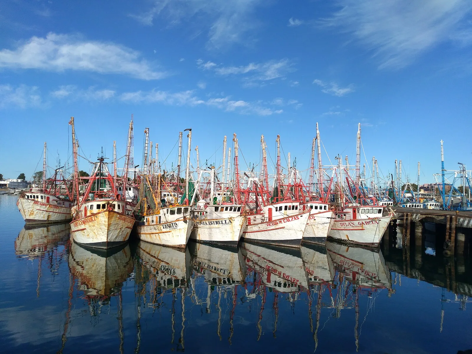
- The channel separating the island from the mainland is called the Canal del Infiernillo (Little Hell Channel) due to its strong currents.
- The desert bighorn sheep population on the island is one of the healthiest and most genetically pure in North America.
Explore nearby
Notable places around
Route planner — Car & Motorhome
Where do you start? We build the route here, with stops and country notes along the way.
© OpenStreetMap contributors · OpenRouteService
Sights nearby
Frequently asked questions
Can I easily visit the island?
What is unique about the island?
Is there any tourist infrastructure?
Is the climate there extreme?
Does the island belong to the government?
Tiburon Island: where is it located?
Tiburon Island: when is the best time to visit?
Tiburon Island: why is it worth visiting?

Nearby cities