Plizio Visual Lab
Sierra de la Giganta
Weather…
Water temperature…
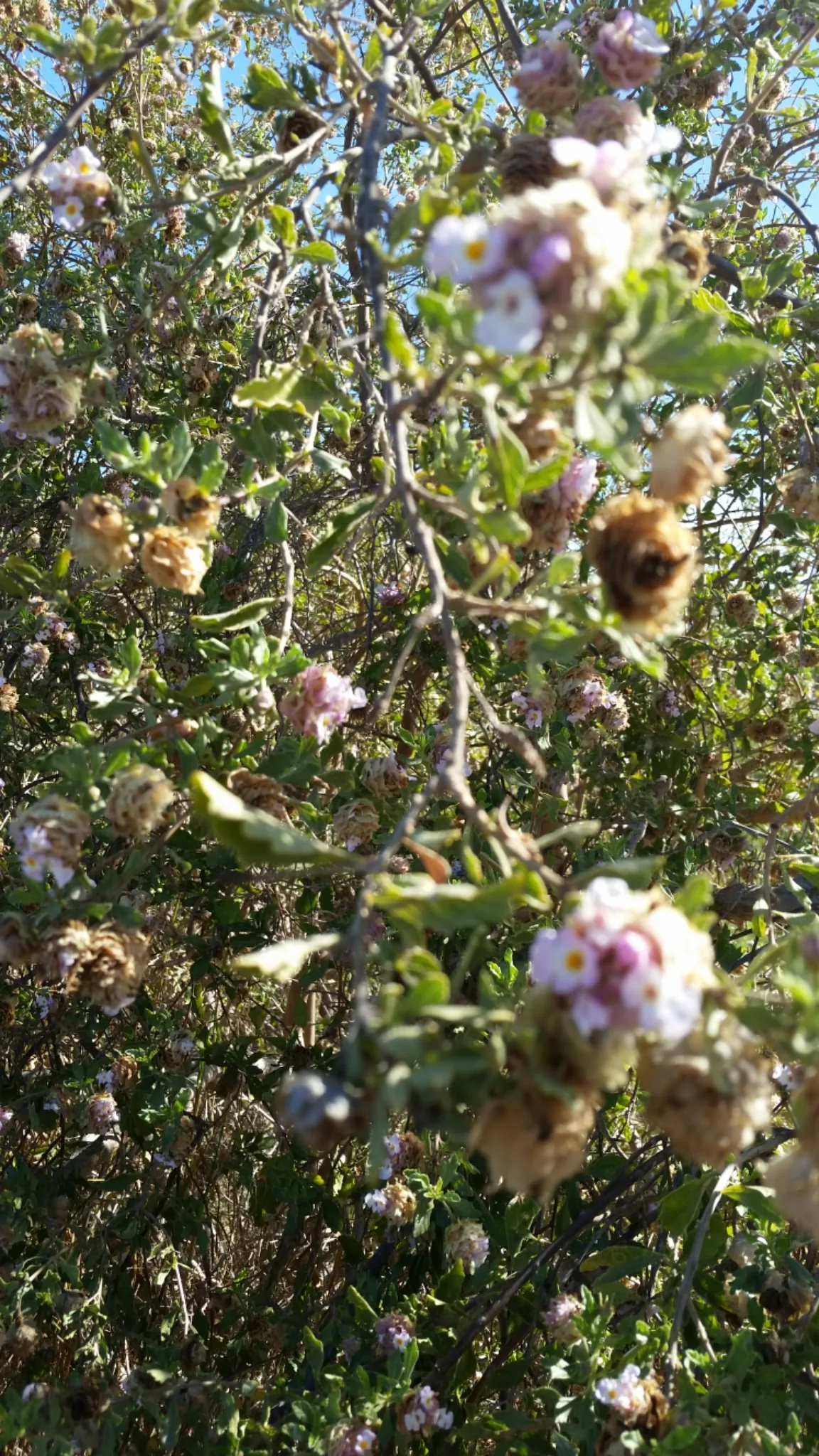
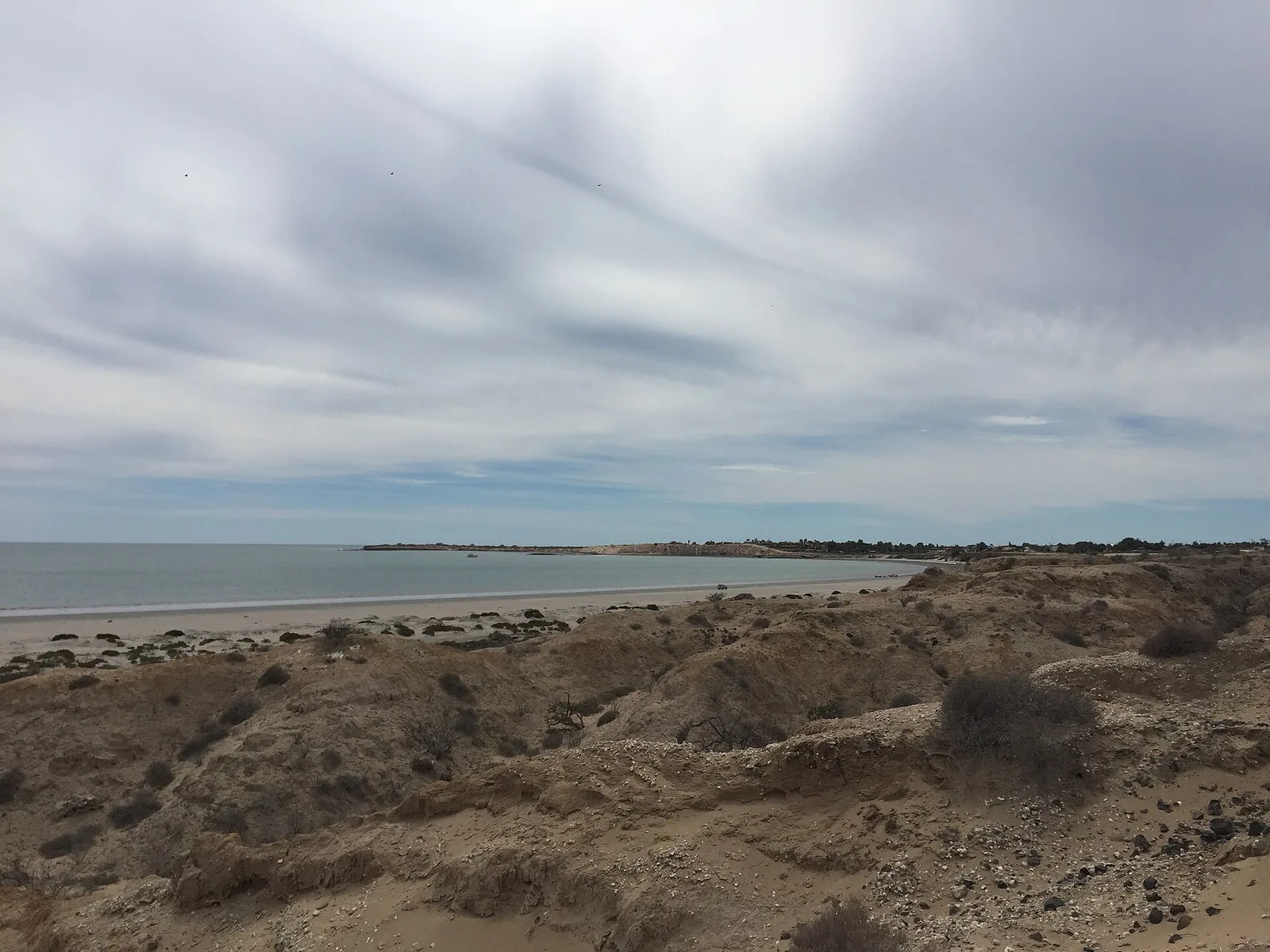
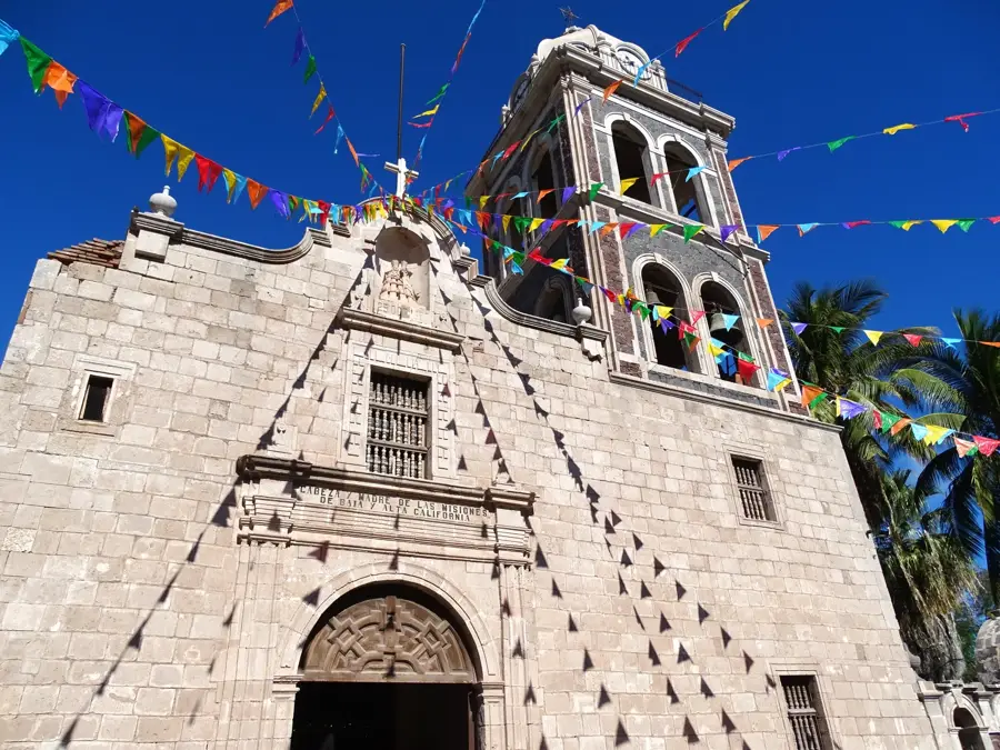
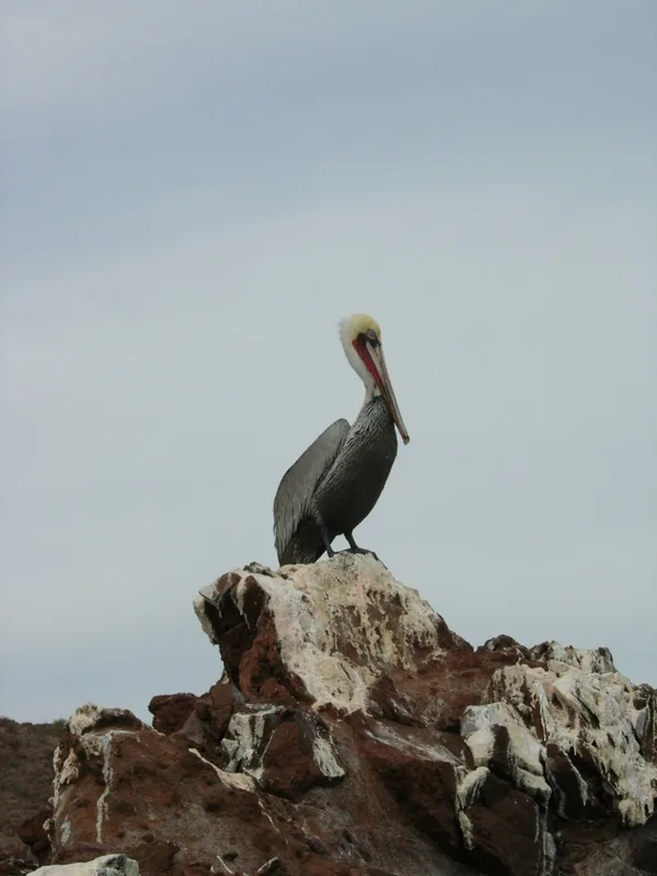
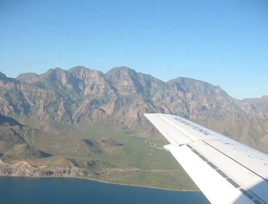
The Sierra de la Giganta is a rugged mountain range in the southern part of the Baja California Peninsula, stretching along the coast of the Gulf of California. Geologically of volcanic origin, the range consists primarily of Miocene stratified volcanic deposits that were uplifted by tectonic forces. It is characterized by a striking asymmetrical profile, featuring a steep, nearly vertical eastern escarpment facing the sea and a gentler slope toward the Pacific coast in the west. The climate is extremely arid, supporting sparse but specialized vegetation such as cacti and xerophytic plants adapted to harsh conditions. Despite the dryness, hidden canyons contain small oases with palm trees that have served as vital water sources for wildlife and humans for centuries. Historically, the region was home to indigenous groups like the Cochimí and later became the site of early Spanish missions, including Loreto. Today, the Sierra de la Giganta is recognized for its pristine landscapes and geological significance.
- Location: Mexico
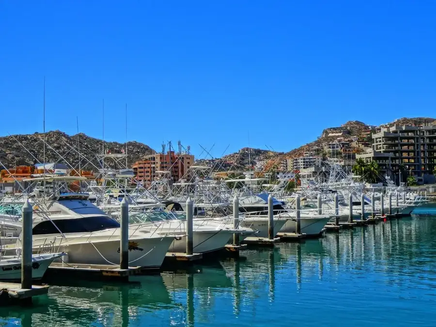
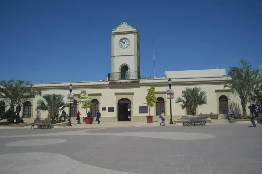
- Nearby: Loreto (5 km)
Best time to visit & climate
The most pleasant time to visit is Mar, Apr, Dec.
| Jan | Feb | Mar | Apr | May | Jun | Jul | Aug | Sep | Oct | Nov | Dec | |
|---|---|---|---|---|---|---|---|---|---|---|---|---|
| Avg °C | 18 | 18 | 20 | 23 | 25 | 29 | 31 | 31 | 30 | 27 | 23 | 19 |
| Rain mm | 6 | 17 | 3 | 0 | 0 | 10 | 7 | 52 | 69 | 29 | 11 | 3 |
📋 Practical info
Geography
Facts
- Highest peak is Cerro de la Giganta at 1,768 meters.
- Primarily composed of Miocene volcanic rocks (Comondú Formation).
- Faces the Gulf of California with dramatic 1,000-meter cliffs.
- Home to the endemic Bighorn sheep (Ovis canadensis weemsi).
- Mission San Javier, founded in 1699, is located in its foothills.
- Contains significant Pre-Columbian rock art in various canyons.
Explore nearby
Notable places around
Route planner — Car & Motorhome
Where do you start? We build the route here, with stops and country notes along the way.
© OpenStreetMap contributors · OpenRouteService
Sights in the town Sierra de la Giganta (1)
Sights nearby
Frequently asked questions
Is the Sierra suitable for hikers?
Is there parking?
Which season is ideal?
Do I need a guide?
Is the landscape photogenic?
Sierra de la Giganta: where is it located?
Sierra de la Giganta: when is the best time to visit?
Sierra de la Giganta: why is it worth visiting?

Nearby cities