Plizio Visual Lab
Ile d'Ambre

Weather…
Water temperature…
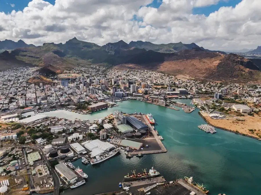
Ile d'Ambre is a pristine natural sanctuary located in the northeastern lagoon of Mauritius, renowned for its extensive mangrove forests and untouched wilderness. Covering approximately 140 hectares, this uninhabited island holds a unique place in natural history as the site of the last recorded sighting of the Dodo in 1662. Today, it remains one of the most important ecological sites in Mauritius, providing a crucial habitat for various marine species and coastal birds. The island is a popular destination for eco-conscious travelers, who often explore its mangrove-lined shores by kayak to experience the quiet beauty of the lagoon. Inland, hiking trails wind through native vegetation, leading to historical ruins and fascinating lava caves that tell stories of the island's volcanic past. With no permanent human residents, Ile d'Ambre features a rare glimpse into the island's original coastal ecosystem. It is an essential visit for those looking to understand the importance of conservation and to enjoy a peaceful retreat away from the more developed tourist areas of the mainland.
- Location: Mauritius
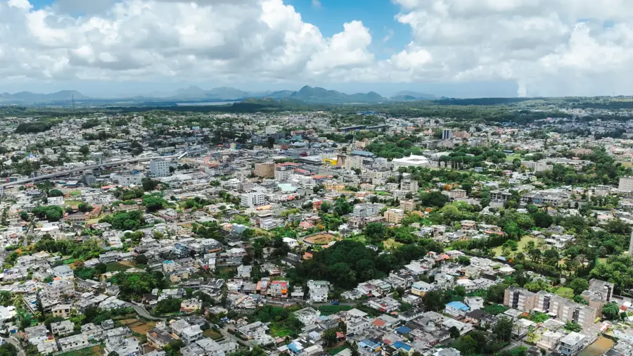
- Nearby: Plaines des Roches (5 km)
Best time to visit & climate
The most pleasant time to visit is Jul–Sep.
| Jan | Feb | Mar | Apr | May | Jun | Jul | Aug | Sep | Oct | Nov | Dec | |
|---|---|---|---|---|---|---|---|---|---|---|---|---|
| Avg °C | 27 | 28 | 27 | 27 | 25 | 24 | 23 | 23 | 23 | 24 | 25 | 26 |
| Rain mm | 128 | 116 | 122 | 67 | 41 | 29 | 26 | 21 | 24 | 29 | 29 | 44 |
📋 Practical info
Geography
Facts
- Area of approximately 140 hectares
- Extensive mangrove forests
- Wreck of the Saint Géran in 1744
- Inspiration for 'Paul et Virginie'
- Protected nature reserve
- Northeast coast of Mauritius
Explore nearby
Notable places around
Route planner — Car & Motorhome
Where do you start? We build the route here, with stops and country notes along the way.
© OpenStreetMap contributors · OpenRouteService
Sights nearby
Frequently asked questions
What is Ile d'Ambre?
Can you visit the island?
Is the island inhabited?
What is the highlight?
Are there sanitary facilities?
Ile d'Ambre: where is it located?
Ile d'Ambre: when is the best time to visit?
Ile d'Ambre: why is it worth visiting?

Nearby cities