Plizio Visual Lab
Bras d'Eau National Park
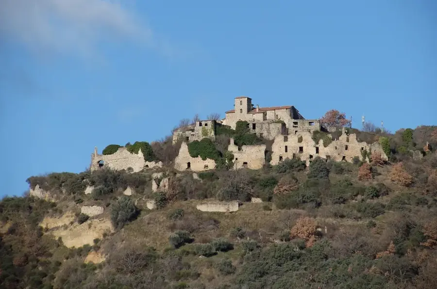
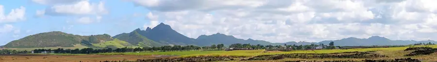
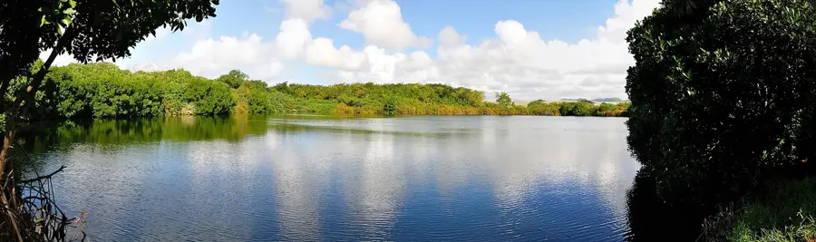
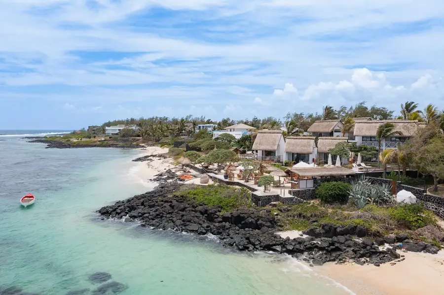
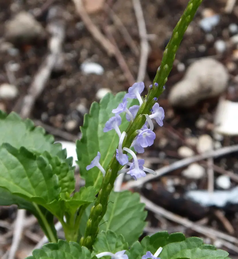
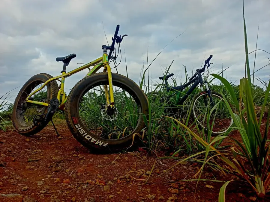
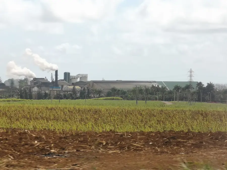
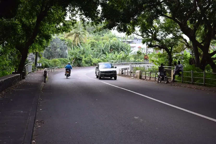
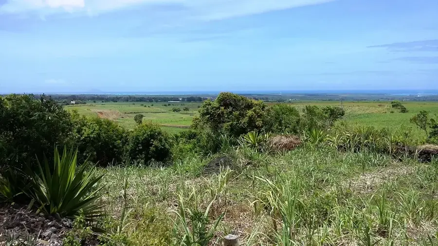
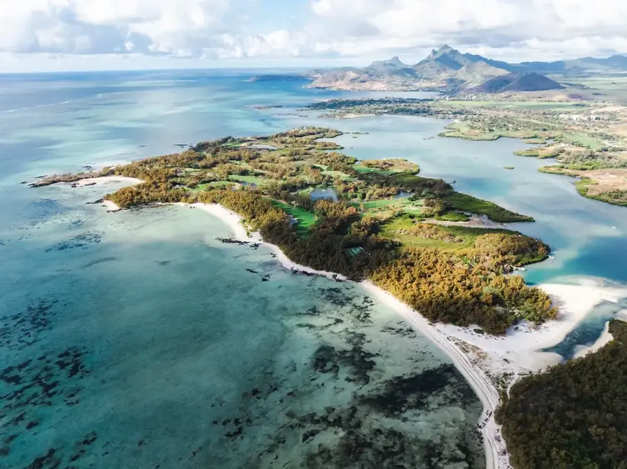
Bras d'Eau National Park, situated in eastern Mauritius, covers an area of approximately 497 hectares and represents one of the island's last remaining native coastal forests. The site was formally designated as a national park in 2011 to safeguard its remaining biodiversity, particularly the endemic ebony trees. Historically, the area hosted French sugar plantations, and remnants of a 19th-century sugar mill and lime kiln are still visible today. The topography is characterized by lava tubes and volcanic caves, providing insight into the geological origins of the eastern coast. The park serves as a critical habitat for the rare Mauritius Paradise Flycatcher, an endemic bird species whose population is closely monitored. A network of trails traverses the forest, leading to features like Mare Sarcelle, a brackish water lake that serves as an important sanctuary for migratory birds. Conservation efforts focus on replacing invasive species, such as the Brazilian cherry, with native timber to restore the original ecosystem.
- Location: Mauritius
- Top sights: Vieux puit français · Bras d'Eau National Park · Public Beach
- Nearby: Ecroignard (4 km)
Best time to visit & climate
The most pleasant time to visit is Jul–Sep.
| Jan | Feb | Mar | Apr | May | Jun | Jul | Aug | Sep | Oct | Nov | Dec | |
|---|---|---|---|---|---|---|---|---|---|---|---|---|
| Avg °C | 27 | 28 | 27 | 27 | 25 | 24 | 23 | 23 | 23 | 24 | 25 | 26 |
| Rain mm | 128 | 116 | 122 | 67 | 41 | 29 | 26 | 21 | 24 | 29 | 29 | 44 |
📋 Practical info
Geography
Facts
- Established as a national park in 2011
- Covers approximately 497 hectares of land
- Key sanctuary for the Mauritius Paradise Flycatcher
- Contains ruins of a historical French sugar mill
- Characterized by volcanic lava tube formations
- Includes the Mare Sarcelle brackish water lake
Explore nearby
Notable places around
Route planner — Car & Motorhome
Where do you start? We build the route here, with stops and country notes along the way.
© OpenStreetMap contributors · OpenRouteService
Sights in the town Bras d'Eau National Park (6)
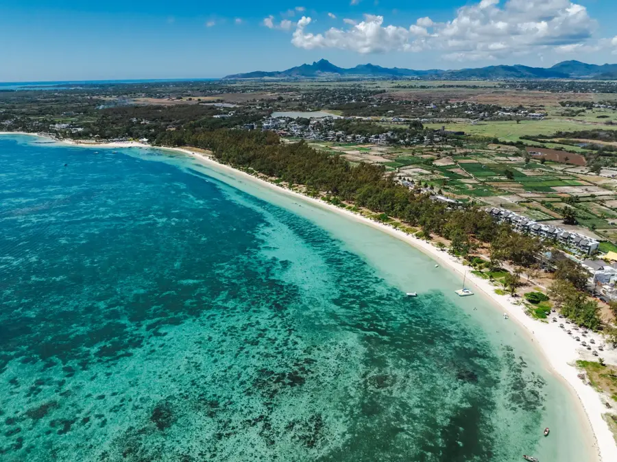
Bras d'Eau
Coastal strip with sand and rocks on the east coast of Mauritius.
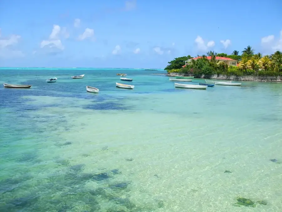
Poste Lafayette
Sandy beach on Mauritius' east coast, quiet and sparsely built-up.
Sights nearby
Frequently asked questions
Is the forest family-friendly?
Are there picnic spots?
Is the entrance free?
Is there wildlife there?
How long does a tour take?
Bras d'Eau National Park: where is it located?
Bras d'Eau National Park: what is there to see?
Bras d'Eau National Park: when is the best time to visit?
Bras d'Eau National Park: why is it worth visiting?

Nearby cities


Nature

More places