Plizio Visual Lab
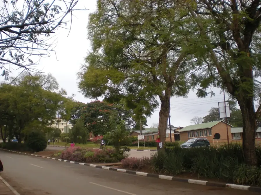
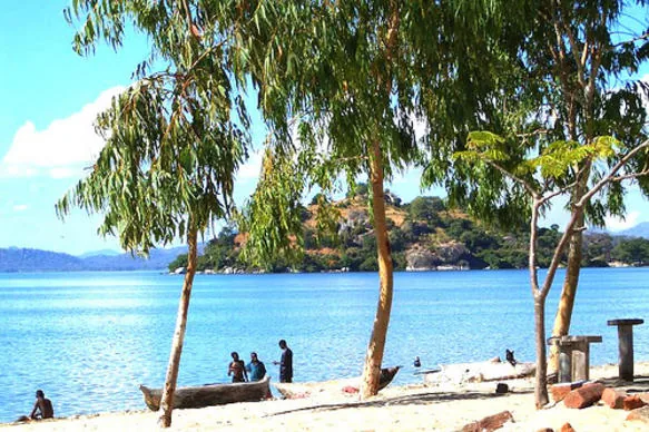
Mount Mulanje
Weather…
Water temperature…
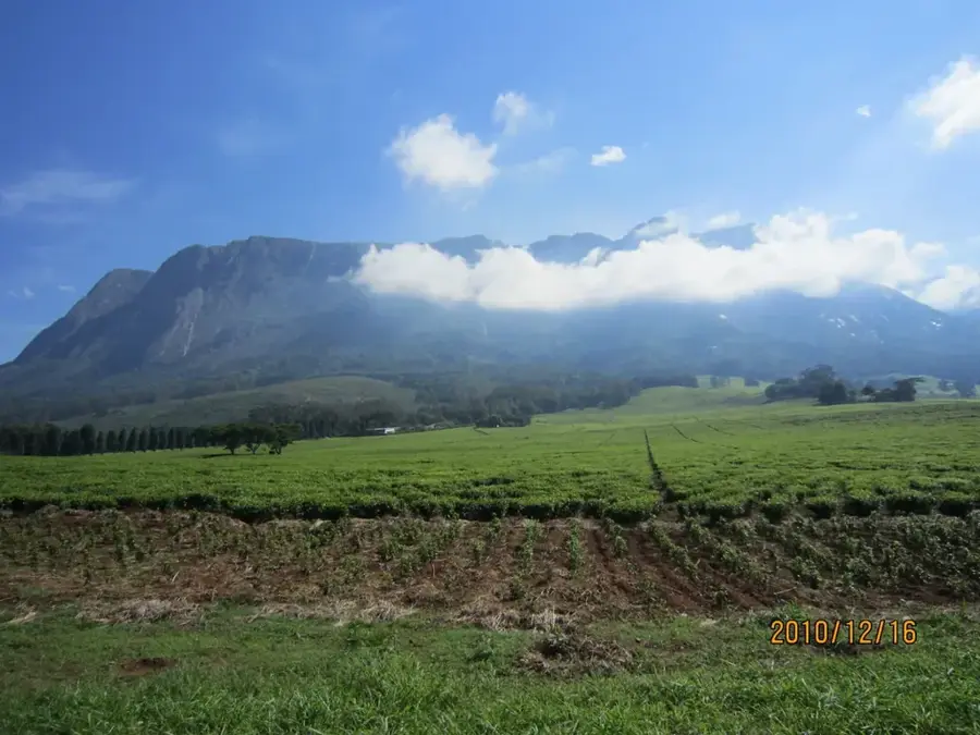
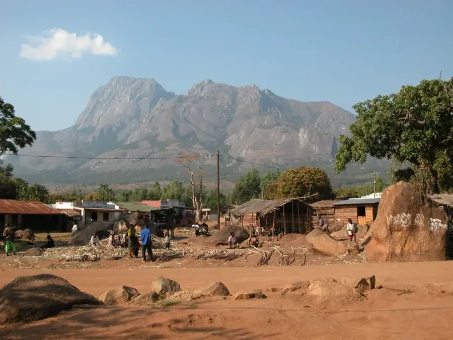
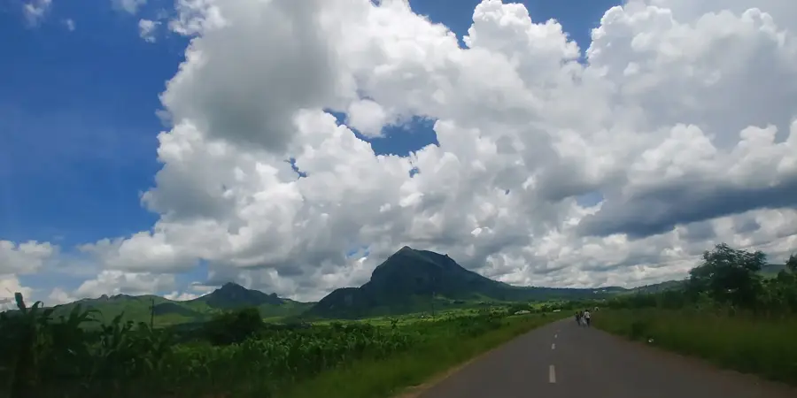
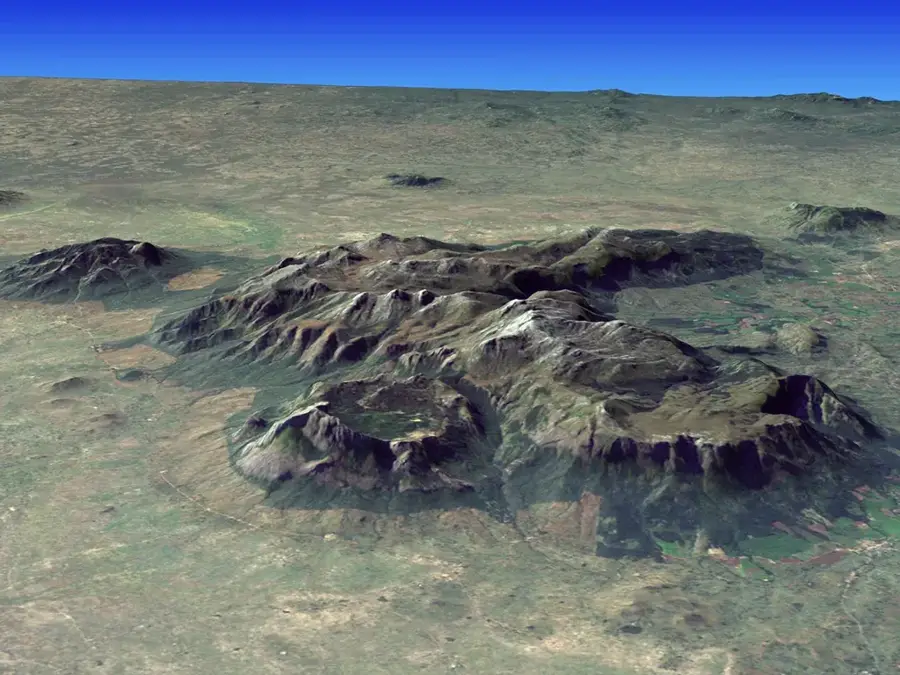
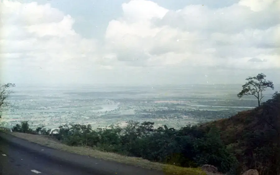
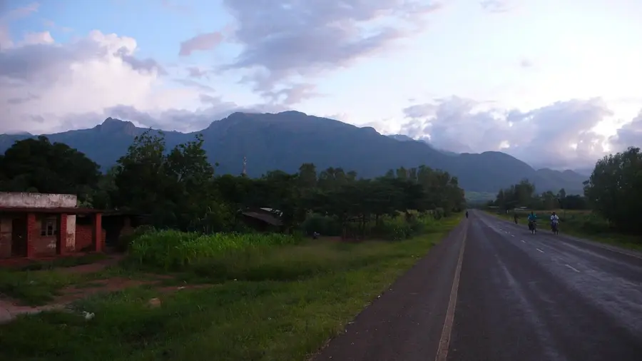
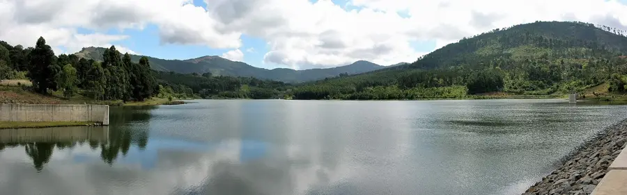
Mount Mulanje is a spectacular granite inselberg that rises sharply from the plains of southeastern Malawi. Its highest point, Sapitwa Peak, reaches 3,002 meters, making it the largest granite massif on the African continent. Geologically formed about 130 million years ago, the mountain supports a unique ecosystem, most notably serving as the only natural habitat for the rare Mulanje cedar. The massif is frequently shrouded in mist and clouds, earning it the nickname 'Island in the Sky'. It is a premier destination for hikers, offering numerous trails and mountain huts for multi-day treks. Beyond its natural beauty, the massif acts as a vital catchment area, providing water to the surrounding tea-growing districts of Likhubula and Mulanje.
- Location: Malawi
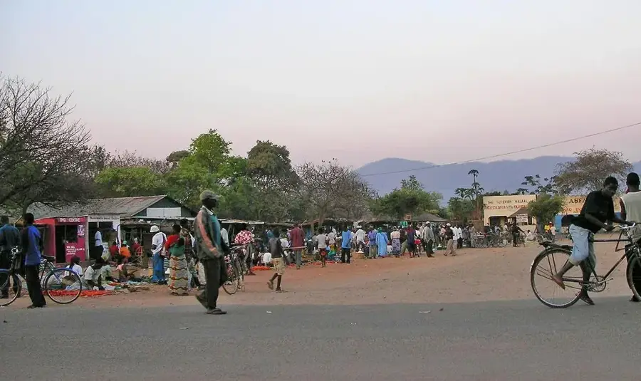
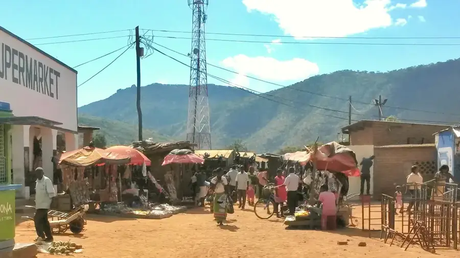
- Nearby: Mulanje (16 km)
Best time to visit & climate
The most pleasant time to visit is May, Aug, Sep.
| Jan | Feb | Mar | Apr | May | Jun | Jul | Aug | Sep | Oct | Nov | Dec | |
|---|---|---|---|---|---|---|---|---|---|---|---|---|
| Avg °C | 23 | 22 | 22 | 20 | 19 | 17 | 17 | 19 | 22 | 25 | 25 | 24 |
| Rain mm | 353 | 233 | 207 | 76 | 29 | 27 | 45 | 12 | 12 | 19 | 96 | 249 |
📋 Practical info
Geography
Facts
- The massif covers an area of 640 km².
- The highest peak is 3,002 meters.
- The Mulanje cedar (Widdringtonia whytei) is endemic and endangered.
- The average annual temperature on the plateau is 15 °C.
- There are over 150 kilometers of hiking trails in the massif.
- The Mulanje Massif was declared a forest reserve in 1927.
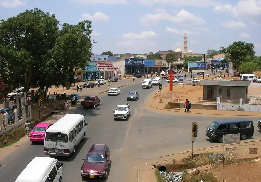
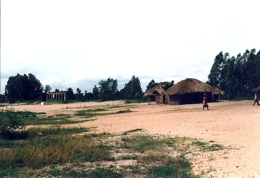
Explore nearby
Notable places around
Route planner — Car & Motorhome
Where do you start? We build the route here, with stops and country notes along the way.
© OpenStreetMap contributors · OpenRouteService
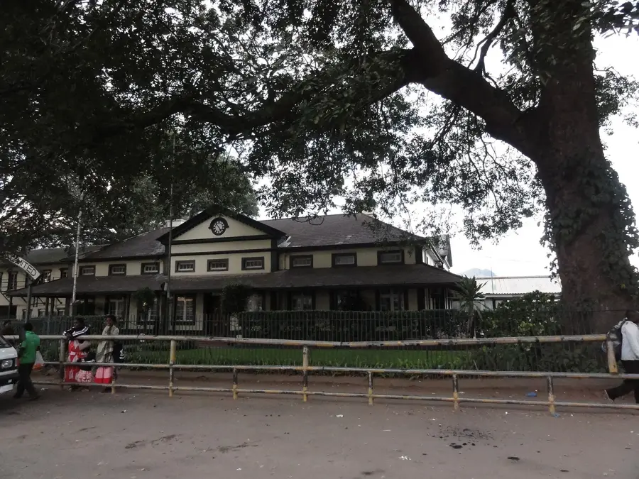
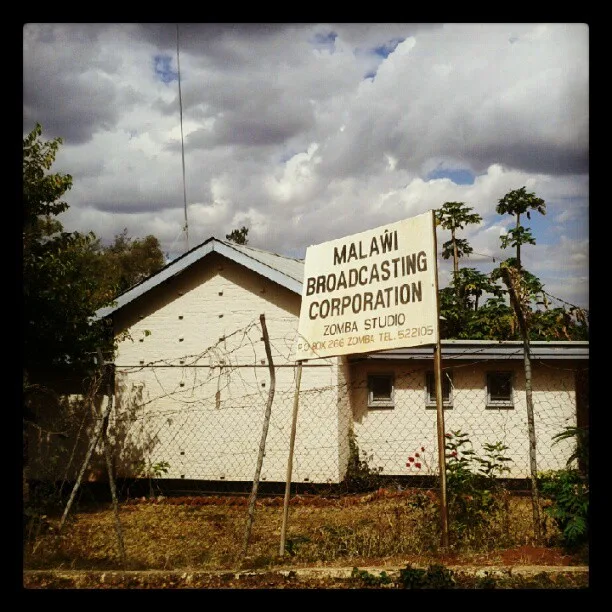
Sights in the town Mount Mulanje (1)
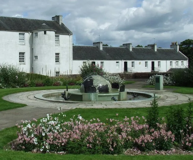
Sights nearby
Frequently asked questions
How long does a tour on Mount Mulanje take?
Do I need a mountain guide?
Where can one stay overnight?
What is the best season?
Is the water drinkable?
Mount Mulanje: where is it located?
Mount Mulanje: when is the best time to visit?
Mount Mulanje: why is it worth visiting?

Nearby cities


History & landmarks


Nature
More places