Plizio Visual Lab
Germa (Garama)
Weather…
Water temperature…
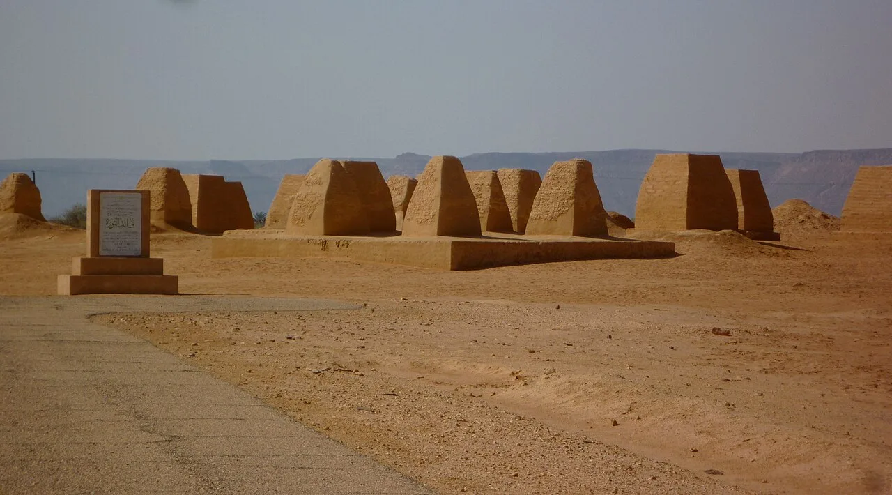
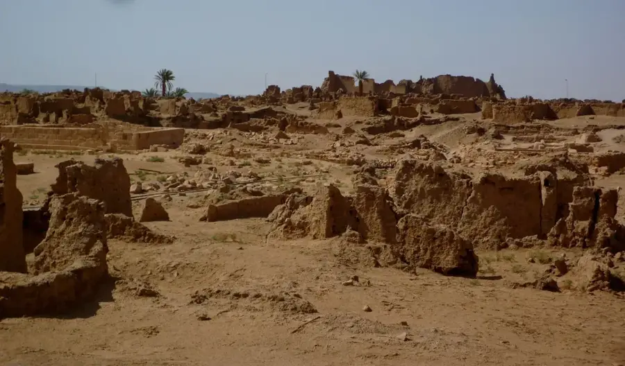
Germa, known in antiquity as Garama, was the formidable capital of the Garamantian Kingdom in the Fezzan region of Libya. Located in the Wadi al-Ajal, the city flourished between 500 BC and 500 AD as the center of a highly sophisticated civilization that conquered the Saharan environment. The Garamantes are renowned for their pioneering irrigation technology known as 'foggaras', underground galleries that channeled groundwater over long distances to sustain agriculture in the desert. Garama functioned as a vital commercial nexus, mediating the flow of gold, ivory, and exotic goods between sub-Saharan Africa and the Roman Empire. Archaeological excavations have revealed a well-organized city featuring stone temples, public squares, and mud-brick residential quarters. Nearby, extensive necropolises contain distinctive pyramid-shaped tombs, underscoring the wealth and social stratification of the Garamantian elite. The kingdom's eventual decline was driven by the depletion of accessible fossil water and the shifting dynamics of trans-Saharan trade routes.
- Location: Libya
- Top sights: Zinchecra · Jirmah Museum · Garama Metropolis
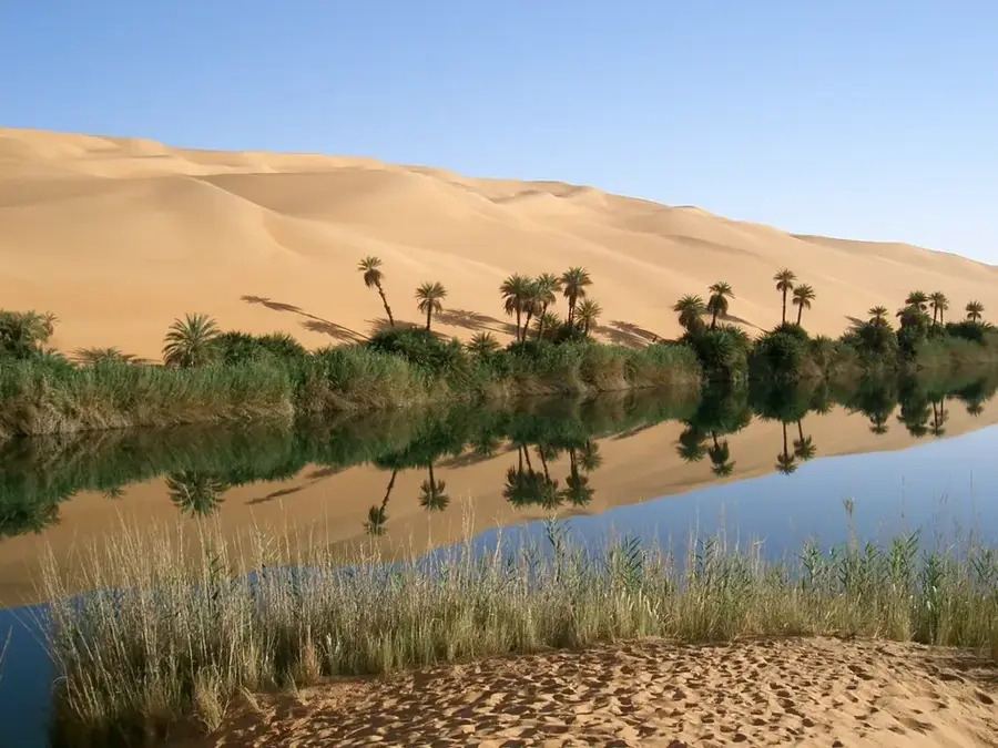
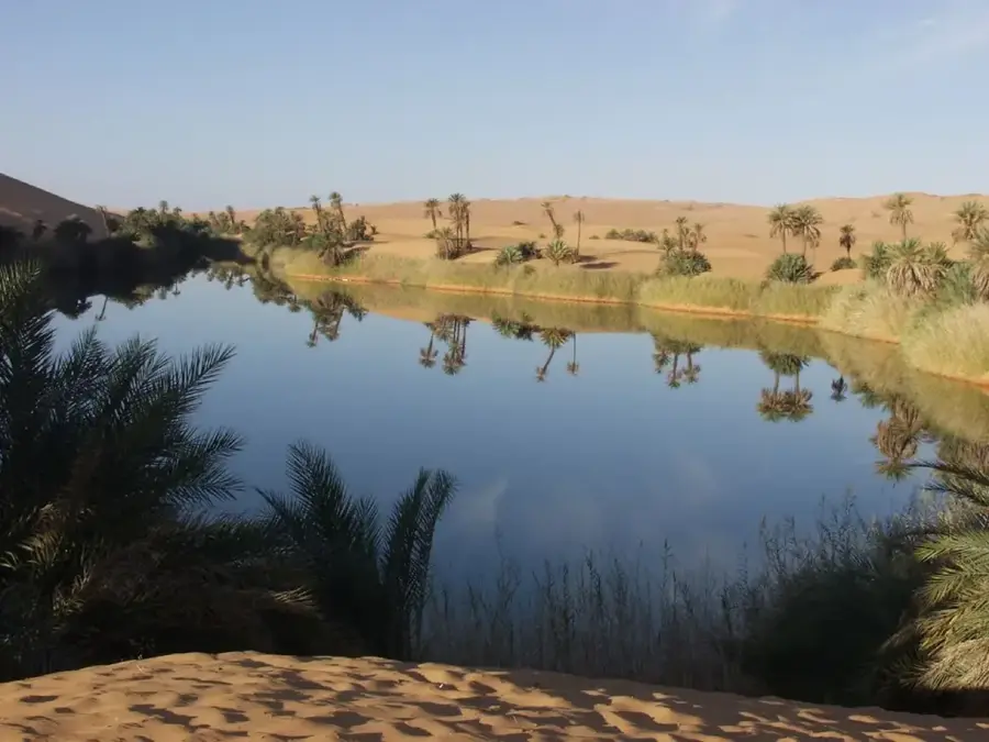
- Nearby: Awbari (Ubari) (29 km)
Best time to visit & climate
The most pleasant time to visit is Mar, Apr, Oct.
| Jan | Feb | Mar | Apr | May | Jun | Jul | Aug | Sep | Oct | Nov | Dec | |
|---|---|---|---|---|---|---|---|---|---|---|---|---|
| Avg °C | 10 | 13 | 18 | 24 | 28 | 31 | 32 | 32 | 30 | 24 | 18 | 12 |
| Rain mm | 3 | 3 | 2 | 1 | 4 | 11 | 0 | 0 | 3 | 3 | 2 | 3 |
📋 Practical info
Geography
Facts
- The Garamantes constructed more than 1,000 kilometers of underground foggara channels.
- Roman forces under Lucius Cornelius Balbus captured Garama in 19 BC.
- At its peak, the city is estimated to have supported a population of around 4,000 residents.
- The nearby Kharaig necropolis features over 80 miniature pyramid-shaped tombs.
- Garamantian power was based on the control of water and trans-Saharan trade routes.
- The site remains one of the best examples of a pre-Islamic urban center in the deep Sahara.
Explore nearby
Notable places around
Route planner — Car & Motorhome
Where do you start? We build the route here, with stops and country notes along the way.
© OpenStreetMap contributors · OpenRouteService
Sights in the town Germa (Garama) (3)
Sights nearby
Frequently asked questions
What was Germa (Garama) in antiquity?
In which valley is Germa located?
What were the Garamantes known for?
Can the ancient city be visited today?
What is the Germa Museum?
Germa (Garama): where is it located?
Germa (Garama): what is there to see?
Germa (Garama): when is the best time to visit?
Germa (Garama): why is it worth visiting?

Nearby cities
Nature
More places