Plizio Visual Lab
Sirte Basin

Weather…
Water temperature…
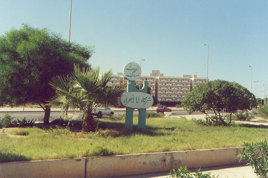
The Sirte Basin is Libya's most significant sedimentary basin and one of the largest petroleum-bearing regions in the world. It spans the central part of the country, extending from the Mediterranean coast deep into the Saharan interior. Geologically, the basin originated during the Mesozoic era through tectonic extension processes that led to the formation of a complex rift system. These structural conditions created well-suited traps for hydrocarbons, resulting in the discovery of vast oil and gas fields starting in the late 1950s. The basin's relief is largely flat to gently undulating, characterized by extensive sand plains and gravel deserts known as serirs. Despite the industrial dominance, the region also holds ecological significance, particularly in the coastal areas. Historically, the Sirtic region marked the natural boundary between the ancient provinces of Tripolitania and Cyrenaica. Today, the region's infrastructure is defined by an extensive network of pipelines and terminals forming the economic backbone of Libya. Scientific study of the basin also provides valuable insights into the evolution of the ancient Tethys Ocean.
- Location: Libya
- Nearby: Sirte (88 km)
Best time to visit & climate
The most pleasant time to visit is Apr, May, Oct.
| Jan | Feb | Mar | Apr | May | Jun | Jul | Aug | Sep | Oct | Nov | Dec | |
|---|---|---|---|---|---|---|---|---|---|---|---|---|
| Avg °C | 11 | 12 | 16 | 20 | 24 | 27 | 28 | 29 | 27 | 23 | 18 | 13 |
| Rain mm | 19 | 20 | 8 | 3 | 3 | 0 | 0 | 0 | 8 | 15 | 11 | 21 |
📋 Practical info
Geography
Facts
- The basin contains approximately 80% of Libya's proven oil reserves.
- The first major oil field, Zelten, was discovered here in 1959.
- Geologically, it is a failed rift system dating back to the Cretaceous period.
- The basin covers an area of approximately 600,000 square kilometers.
- The thickness of the sediment layer exceeds 7,000 meters in some areas.
- It separates the African craton from the Tethys structures to the north.
Explore nearby
Notable places around
Route planner — Car & Motorhome
Where do you start? We build the route here, with stops and country notes along the way.
© OpenStreetMap contributors · OpenRouteService
Sights nearby
Frequently asked questions
What is the Sirte Basin?
Is the region developed for tourism?
What does the landscape look like?
Are there any archaeological sites?
What is the climate like in the basin?
Sirte Basin: where is it located?
Sirte Basin: when is the best time to visit?
Sirte Basin: why is it worth visiting?

Nearby cities
History & landmarks

More places