Plizio Visual Lab
Jebel Nafusa
Weather…
Water temperature…
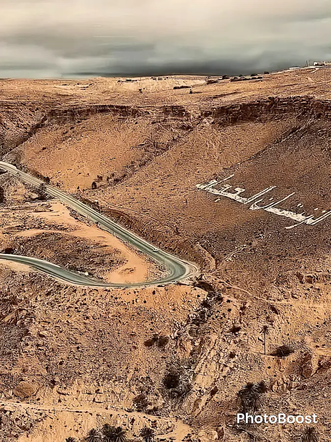
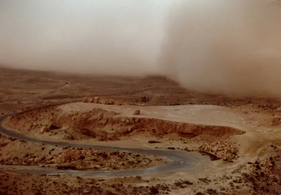
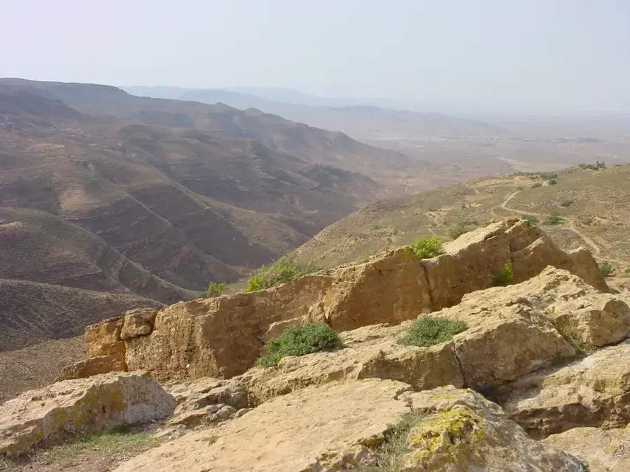
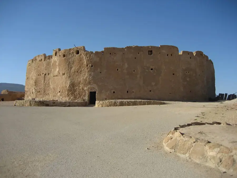
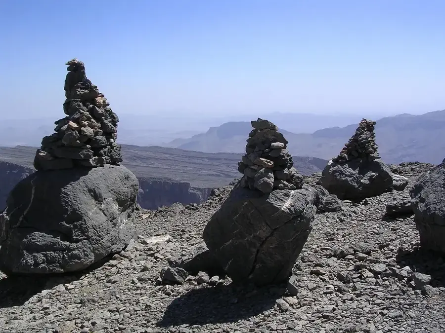
The Jebel Nafusa is a prominent mountain range in northwestern Libya, stretching in an arc south of the capital Tripoli and forming a natural barrier between the Jeffara coastal plain and the inner desert plateau. The mountains reach elevations of up to 960 meters above sea level and have been home to the Berber Amazigh population for millennia, who have preserved a unique culture and language here. The region is famous for its traditional architecture, particularly the fortified granaries known as 'Qasr' and underground troglodyte dwellings that provide protection against extreme temperature fluctuations. Agriculturally, the plateau is characterized by the cultivation of olives, figs, and grains, with inhabitants using sophisticated terracing systems for water conservation since ancient times. During the 2011 Libyan Civil War, Jebel Nafusa was a strategic center of resistance as the rugged topography provided convenient defensive positions. Today, the region is a significant cultural hub where the Imazighen heritage is actively maintained through arts, literature, and traditional festivals.
- Location: Libya
- Nearby: Zintan (28 km)
Best time to visit & climate
The most pleasant time to visit is Apr, May, Oct.
| Jan | Feb | Mar | Apr | May | Jun | Jul | Aug | Sep | Oct | Nov | Dec | |
|---|---|---|---|---|---|---|---|---|---|---|---|---|
| Avg °C | 10 | 11 | 15 | 19 | 24 | 28 | 30 | 30 | 27 | 22 | 16 | 11 |
| Rain mm | 23 | 32 | 21 | 7 | 5 | 2 | 0 | 1 | 14 | 22 | 22 | 33 |
📋 Practical info
Geography
Facts
- The highest elevation in Jebel Nafusa is approximately 960 meters.
- The region is the primary settlement area for Libya's Berber-speaking population.
- Traditional houses were often excavated directly into the limestone rock.
- The town of Gharyan is famous for its pottery and troglodyte dwellings.
- The mountain range forms the northern edge of the Saharan Hammada.
- Nalut hosts one of the best-preserved Qasrs (fortified granaries) in the region.
Explore nearby
Notable places around
Route planner — Car & Motorhome
Where do you start? We build the route here, with stops and country notes along the way.
© OpenStreetMap contributors · OpenRouteService
Sights nearby
Frequently asked questions
What characterizes Jebel Nafusa?
Are there troglodyte houses?
What is the state of the roads?
What artisanal products can be found there?
When is it most pleasant there?
Jebel Nafusa: where is it located?
Jebel Nafusa: when is the best time to visit?
Jebel Nafusa: why is it worth visiting?

Nearby cities