Plizio Visual Lab
Kambut
ℹ️Practical info — Kambut
▾
🌤 Weather — 5 days
📍 Nearby
Sights nearby
💡 Tips
- Temperatures can be extreme, so plan outdoor visits for early morning or late afternoon.
- Infrastructure is limited compared to larger cities, so it's best to travel with a local guide.
- Cash is essential here, as card payments are rarely accepted in smaller shops.
- Always carry extra water and sun protection when venturing outside the settlement.
🍽 Food
Often served with lamb or vegetables at local eateries.
Strong black tea served with foam and often peanuts, found in local tea houses.
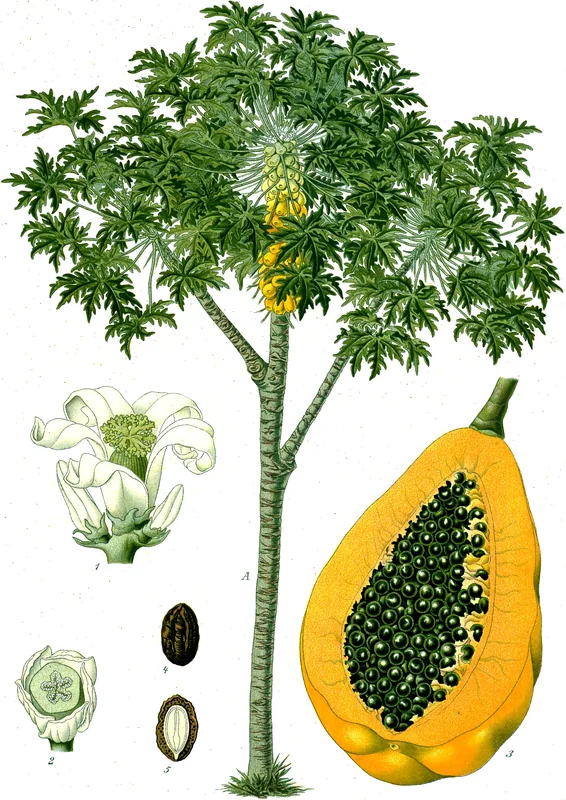
Fresh local fruits available from small street vendors.
🛍 Shopping · 🧘 Quiet spots
Find aromatic spices used in Eastern Libyan cuisine at the village center.
Look out for simple woven items or traditional pottery in the local bazaar.
The edge of the settlement has vast, peaceful views of the surrounding arid landscape.
Quiet courtyards providing a place of reflection and shade.
Water temperature…
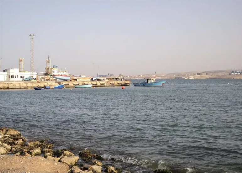
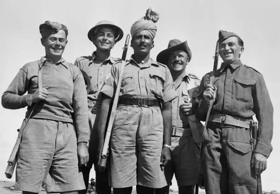
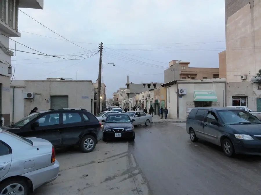
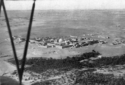
Kambut, frequently referred to in historical records as Gambut, is a village in eastern Libya located approximately 50 kilometers east of Tobruk. The locality gained fame during the Second World War as the site of a critical airfield complex used by the Allied Desert Air Force. This strategic location was essential for launching sorties against Axis supply lines and providing air cover for the besieged port of Tobruk during the North African Campaign. Geographically, Kambut is situated within the vast, arid Marmarica steppe, an area characterized by flat plains and sparse vegetation. In the modern era, the town remains a quiet rural community primarily engaged in pastoral activities such as sheep and goat herding, alongside services for transit traffic moving toward the Egyptian border. The scars of its military past are still visible in the surrounding landscape, where remnants of wartime fortifications and airfields persist. The local population adheres to a traditional way of life, well-adapted to the rigors of the semi-desert climate.
- Location: Libya
- Nearby: Madinat Ras Bayad (30 km)
- Population: ~6.973 (2023)
Best time to visit & climate
The most pleasant time to visit is May, Jun, Oct.
| Jan | Feb | Mar | Apr | May | Jun | Jul | Aug | Sep | Oct | Nov | Dec | |
|---|---|---|---|---|---|---|---|---|---|---|---|---|
| Avg °C | 13 | 13 | 15 | 18 | 21 | 24 | 26 | 27 | 25 | 23 | 19 | 15 |
| Rain mm | 51 | 37 | 14 | 6 | 9 | 1 | 0 | 0 | 5 | 22 | 30 | 72 |
Geography
Facts
- Kambut is located approximately 50 kilometers east of Tobruk.
- It served as the advanced headquarters for the Desert Air Force in WWII.
- The village is situated within the historic Marmarica region of Libya.
- The local economy is driven by traditional sheep and goat herding.
- Evidence of World War II defensive positions can still be found nearby.
- It is a major transit point on the highway leading to the Egyptian border.
Explore nearby
Notable places around
Route planner — Car & Motorhome
Where do you start? We build the route here, with stops and country notes along the way.
© OpenStreetMap contributors · OpenRouteService
Frequently asked questions
How many days should you spend in Kambut?
When is the best time to visit Kambut?
What is the best way to get to Kambut?
Are there local food specialties in Kambut?
Is Kambut a family-friendly destination?
Kambut: where is it located?
Kambut: when is the best time to visit?
Kambut: why is it worth visiting?

Nearby cities


History & landmarks
More places