Plizio Visual Lab
Voinjama Highlands

Weather…
Water temperature…
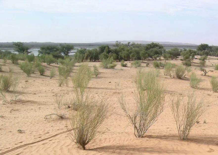
The Voinjama Highlands are situated in the far northern reaches of Liberia, along the border with Guinea, forming part of the larger Guinea Highlands. This region is home to some of the highest elevations in the country, with nearby Mount Wuteve standing as Liberia's highest peak. The highlands are characterized by a distinct microclimate that is noticeably cooler and less humid than the coastal plains, supporting a unique ecosystem of montane rainforests. The landscape consists of undulating hills, sharp ridges, and dense tropical foliage that remains largely undisturbed. Geologically, the area is composed of ancient basement rocks that are rich in mineral resources. For the people of Lofa County, the highlands are a vital agricultural zone where coffee and cocoa are grown on the fertile mountain slopes. The remote nature of the region gives travelers spectacular vistas and the chance to experience West Africa's rugged inland beauty. The Voinjama Highlands remain an important ecological corridor, essential for the preservation of Liberia's rich biodiversity and natural heritage.
- Location: Liberia
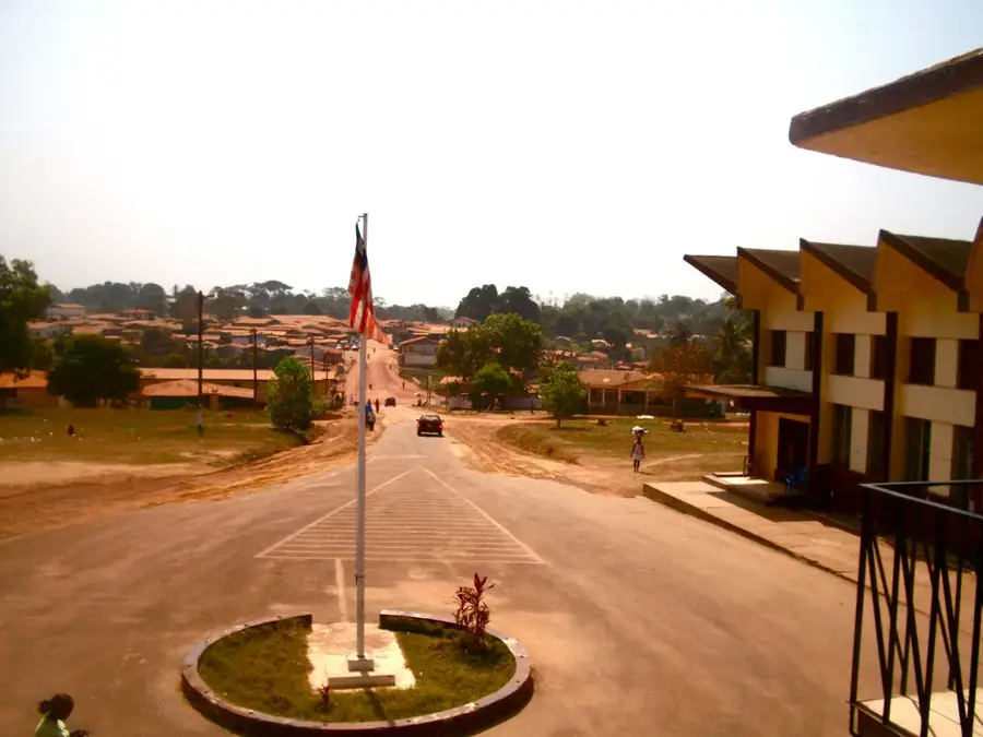
- Top sights: Voinjama · Voinjama District
- Nearby: Bolahun (8 km)
Best time to visit & climate
The most pleasant time to visit is Jan, Feb, Dec.
| Jan | Feb | Mar | Apr | May | Jun | Jul | Aug | Sep | Oct | Nov | Dec | |
|---|---|---|---|---|---|---|---|---|---|---|---|---|
| Avg °C | 24 | 25 | 26 | 25 | 25 | 24 | 23 | 22 | 23 | 24 | 24 | 23 |
| Rain mm | 6 | 32 | 84 | 143 | 179 | 266 | 301 | 423 | 325 | 175 | 52 | 10 |
📋 Practical info
Geography
Facts
- Mount Wuteve height: 1.440 m
- Population density: 10/km²
- Hydropower potential: 30 MW
- Endemic plant species: 20
- Deforestation rate: 1%/year
- Orographic rainfall increase: 30%
Explore nearby
Notable places around
Route planner — Car & Motorhome
Where do you start? We build the route here, with stops and country notes along the way.
© OpenStreetMap contributors · OpenRouteService
Sights in the town Voinjama Highlands (2)
Sights nearby
Frequently asked questions
What characterizes the Voinjama Highlands?
Is the region well-developed for tourism?
When is the best time for a trip?
Is a visa required?
What should one not forget?
Voinjama Highlands: where is it located?
Voinjama Highlands: what is there to see?
Voinjama Highlands: when is the best time to visit?
Voinjama Highlands: why is it worth visiting?

Nearby cities


Nature
More places