Plizio Visual Lab
Western Lowlands
Weather…
Water temperature…
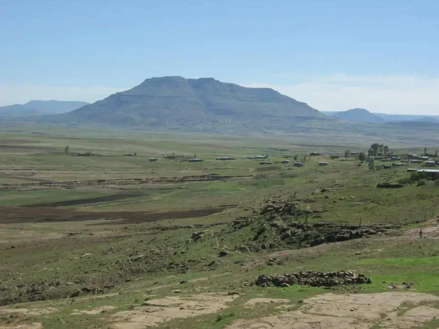
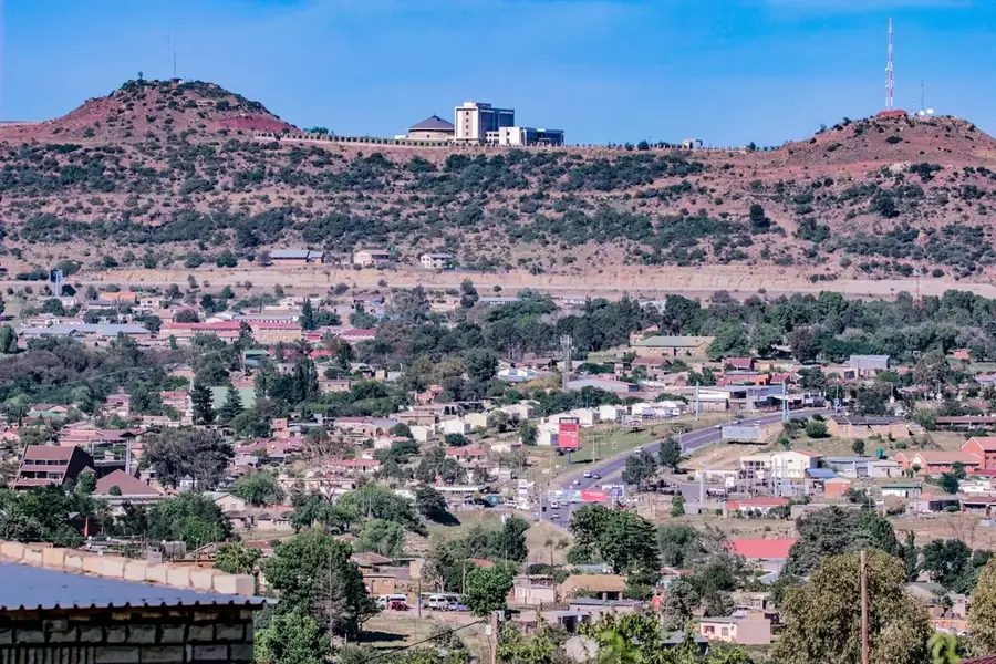
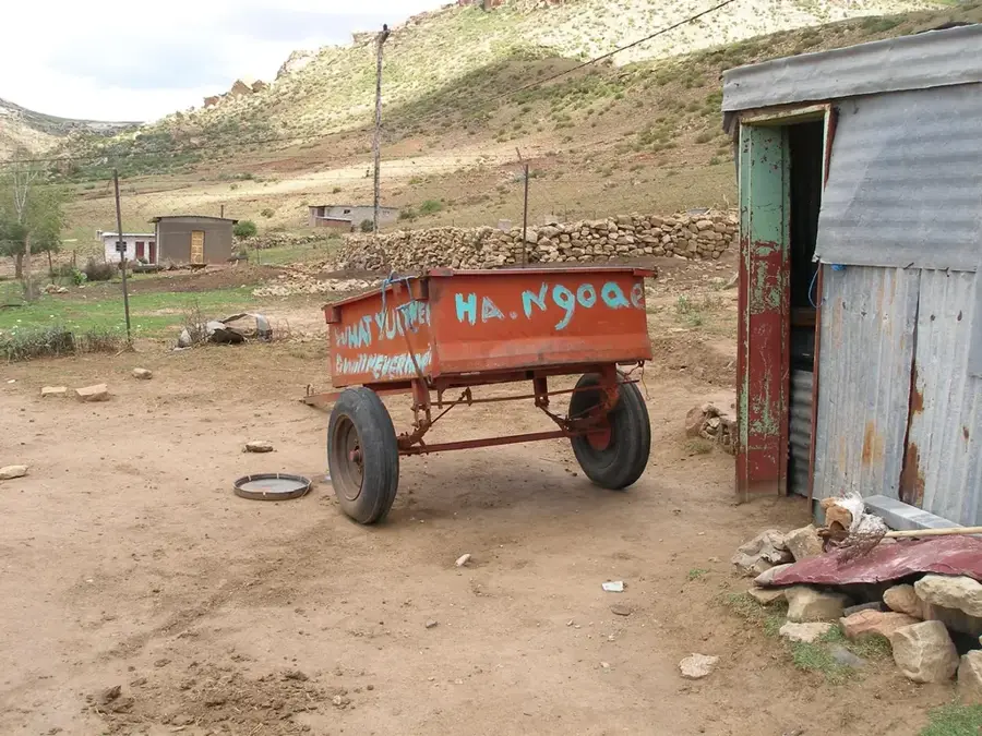
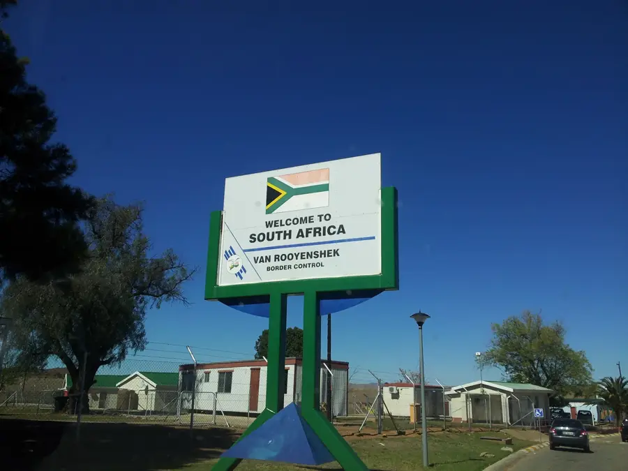
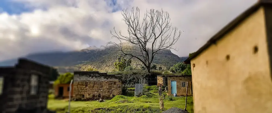
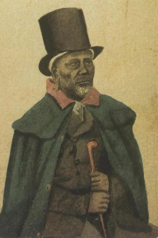
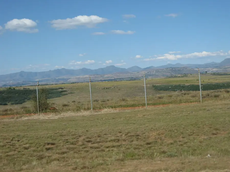
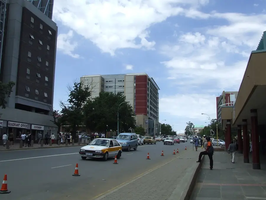
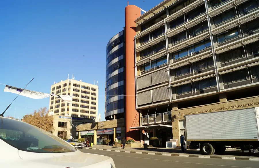
The Western Lowlands of Lesotho form the country's agricultural and economic heartland, stretching along the border with South Africa marked by the Caledon River. Despite being termed lowlands, this region sits at an elevation of 1,400 to 1,600 meters, illustrating Lesotho's unique status as the world's only country entirely above 1,000 meters. The landscape is characterized by dramatic sandstone plateaus and fertile river valleys that support the majority of the nation's crop production, primarily maize and sorghum. As the most habitable part of the kingdom, it is the most densely populated area and home to major urban centers, including the capital, Maseru. The region has a scenic blend of rural tradition and natural beauty, where traditional Basotho villages with their distinctive rondavels are scattered among red-rock formations. It serves as a cultural gateway, providing visitors with access to local craft markets, historical sites like Thaba Bosiu, and a gentler introduction to the high-altitude environment before venturing into the rugged mountains.
- Location: Lesotho
- Nearby: Mofoka Village (25 km)
Best time to visit & climate
The most pleasant time to visit is Feb, Oct, Nov.
| Jan | Feb | Mar | Apr | May | Jun | Jul | Aug | Sep | Oct | Nov | Dec | |
|---|---|---|---|---|---|---|---|---|---|---|---|---|
| Avg °C | 23 | 22 | 19 | 15 | 11 | 7 | 7 | 10 | 15 | 18 | 20 | 22 |
| Rain mm | 86 | 83 | 71 | 57 | 19 | 15 | 6 | 14 | 13 | 40 | 71 | 84 |
📋 Practical info
Geography
Facts
- Western Lowlands elevation ranges from 1,500 to 1,800 m.
- The region covers about 25% of Lesotho's land area.
- Population density exceeds 100 people per km².
- Maseru, the capital, is located in the Lowlands with ~330,000 inhabitants.
- Average annual temperature is 15°C (59°F).
- Annual rainfall ranges from 600 to 800 mm (23.6–31.5 in).
Explore nearby
Notable places around
Route planner — Car & Motorhome
Where do you start? We build the route here, with stops and country notes along the way.
© OpenStreetMap contributors · OpenRouteService
Sights in the town Western Lowlands (1)
Sights nearby
Frequently asked questions
What is meant by the Western Lowlands?
Is it really flat there?
How is the climate in the lowlands?
What is grown there?
Are there tourist highlights there?
Western Lowlands: where is it located?
Western Lowlands: when is the best time to visit?
Western Lowlands: why is it worth visiting?

Nearby cities
History & landmarks
More places