Plizio Visual Lab
Mekong River Valley at Vientiane
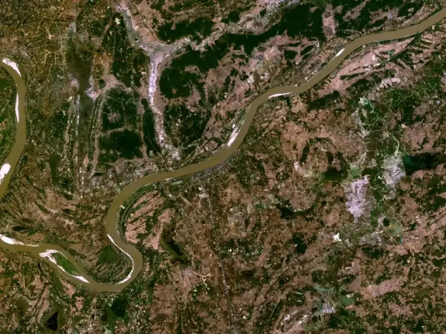
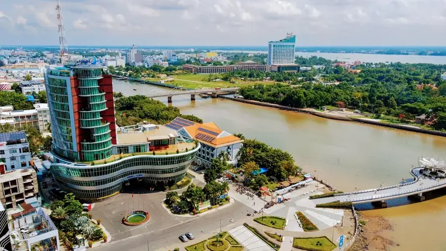
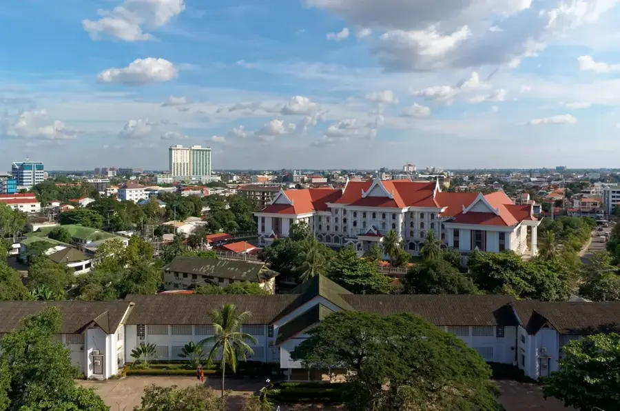
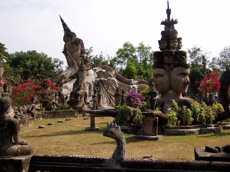
The Mekong River Valley at Vientiane is a vast, fertile alluvial plain that forms the economic and political heart of Laos. Geographically, this area is characterized by the massive sediment deposits of the Mekong River, which over millennia have created a good foundation for wet-rice cultivation. The river is several hundred meters wide here and marks the official border with neighboring Thailand, with the plain on both sides of the stream exhibiting similar ecological characteristics. The valley's flat topography has favored the emergence and growth of Vientiane, which stretches along the riverbanks. The climate is tropical monsoonal, leading to seasonal fluctuations in water level, with the river exposing wide sandbanks during the dry season. These sandbanks are often used by local farmers for vegetable cultivation, while the rainy season transforms the entire plain into a lush green. Historically, the valley was a significant settlement area and trade route, as illustrated by numerous temple complexes and the strategic location of the First Thai-Lao Friendship Bridge. The Mekong Valley is not only a lifeline for agriculture but also a central space for cultural interaction and cross-border trade.
- Location: Laos
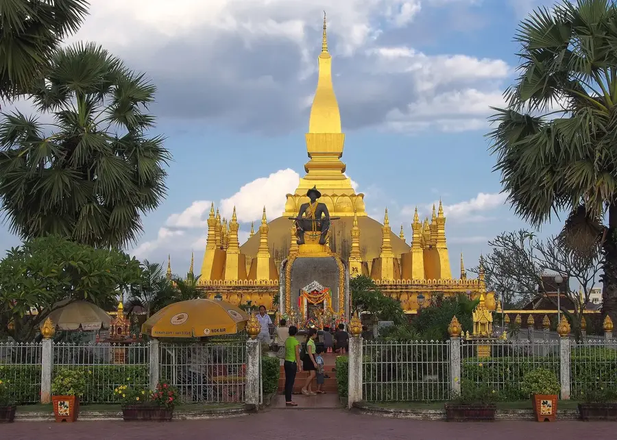
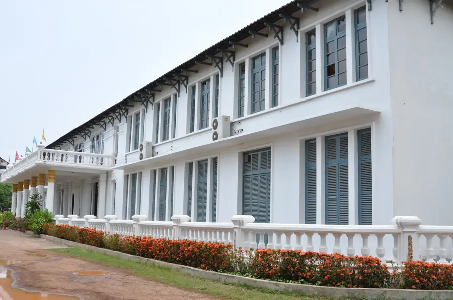
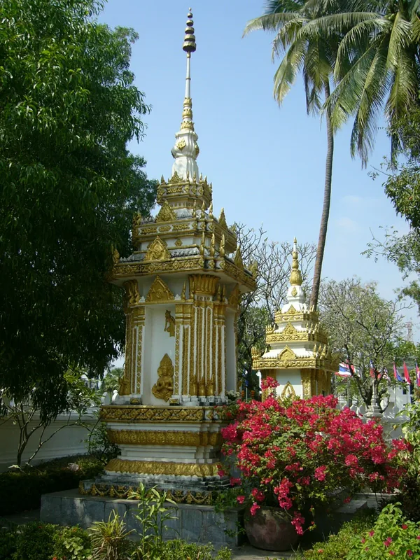
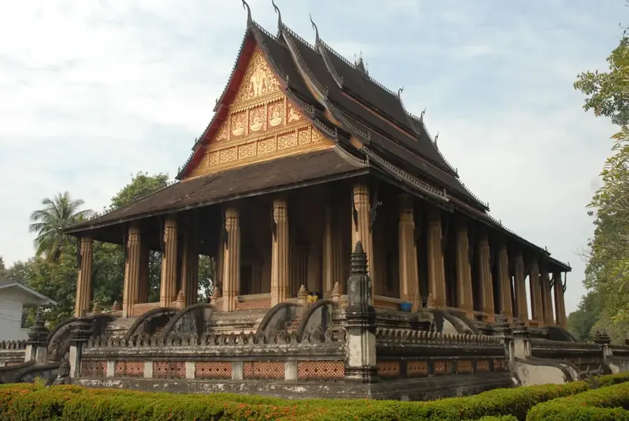
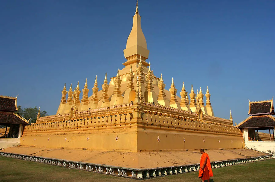
- Top sights: Naga Beach · Inpeng Temple
- Nearby: Nam Ngum Reservoir (15 km)
Best time to visit & climate
The most pleasant time to visit is Jan, Nov, Dec.
| Jan | Feb | Mar | Apr | May | Jun | Jul | Aug | Sep | Oct | Nov | Dec | |
|---|---|---|---|---|---|---|---|---|---|---|---|---|
| Avg °C | 21 | 25 | 28 | 31 | 29 | 28 | 27 | 27 | 27 | 25 | 23 | 21 |
| Rain mm | 8 | 13 | 35 | 62 | 168 | 170 | 203 | 246 | 204 | 85 | 16 | 6 |
📋 Practical info
Geography
Facts
- Vientiane is situated directly on the northern bank of the Mekong at 174 meters altitude.
- The alluvial plain covers several thousand square kilometers.
- The Mekong River reaches a width of nearly one kilometer here in the rainy season.
- The First Thai-Lao Friendship Bridge was opened to traffic in 1994.
- The region produces the majority of the sticky rice consumed in Laos.
- The average annual precipitation in the valley is approximately 1,600 mm.
Explore nearby
Notable places around
Route planner — Car & Motorhome
Where do you start? We build the route here, with stops and country notes along the way.
© OpenStreetMap contributors · OpenRouteService
Sights in the town Mekong River Valley at Vientiane (2)
Sights nearby
Frequently asked questions
When is the best time to visit the Mekong Valley near Vientiane?
Can you swim in the Mekong at Vientiane?
Are there cycling paths along the river?
What local specialties should one try?
Is the valley suitable for families with children?
Mekong River Valley at Vientiane: where is it located?
Mekong River Valley at Vientiane: what is there to see?
Mekong River Valley at Vientiane: when is the best time to visit?
Mekong River Valley at Vientiane: why is it worth visiting?

Nearby cities
History & landmarks
More places