Plizio Visual Lab
Bubiyan Island
Weather…
Water temperature…
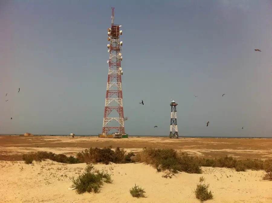
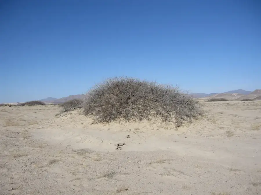
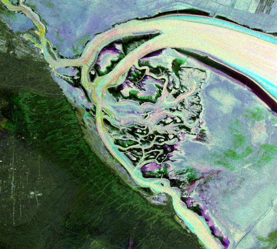
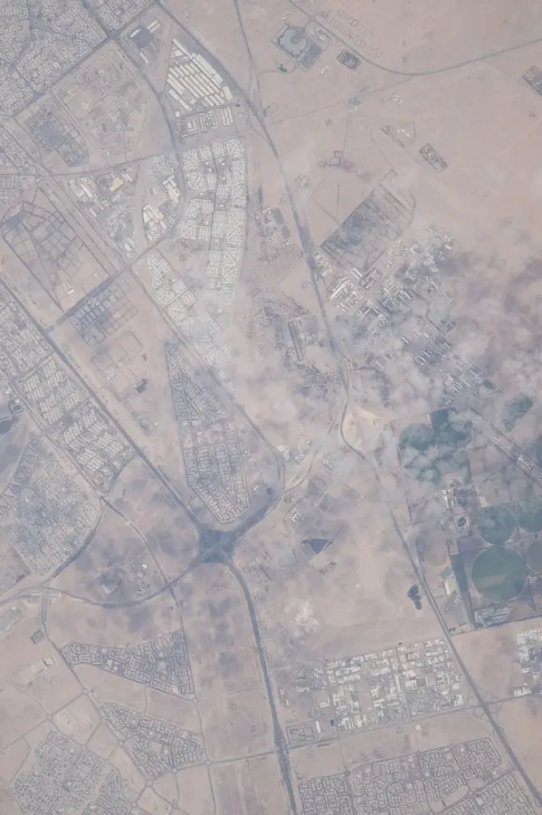
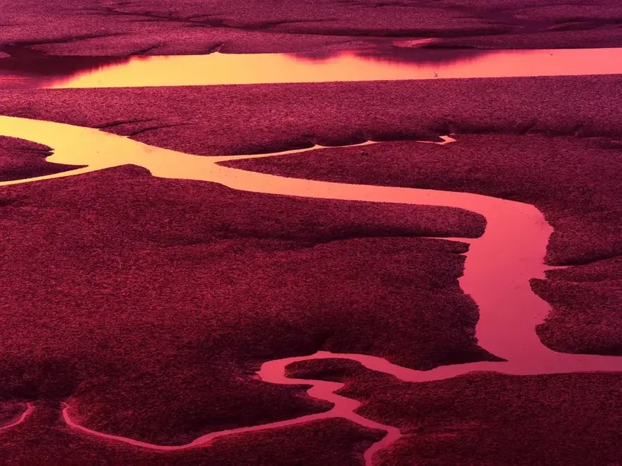
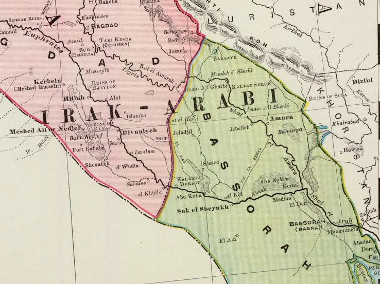
Bubiyan Island is the largest island in Kuwait, situated at the northeastern corner of the country near the mouth of the Shatt al-Arab waterway. Covering an area of roughly 863 square kilometers, the island's terrain is characterized by expansive salt marshes, tidal mudflats, and shallow lagoons. It is separated from the mainland by the Subiya Channel and is accessible via a modern bridge that serves both strategic and logistical purposes. Most of Bubiyan remains uninhabited, allowing it to function as a vital ecological sanctuary within the Persian Gulf. The vast intertidal zones provide essential feeding grounds for a wide array of migratory birds, most notably flamingos, making it a priority site for regional conservation efforts. Recently, the island has been earmarked for major economic development, including the construction of the Mubarak Al-Kabeer Port, intended to turn the area into a major shipping hub. Balancing this industrial growth with the preservation of its unique wetland ecosystem remains a key challenge for Kuwait.
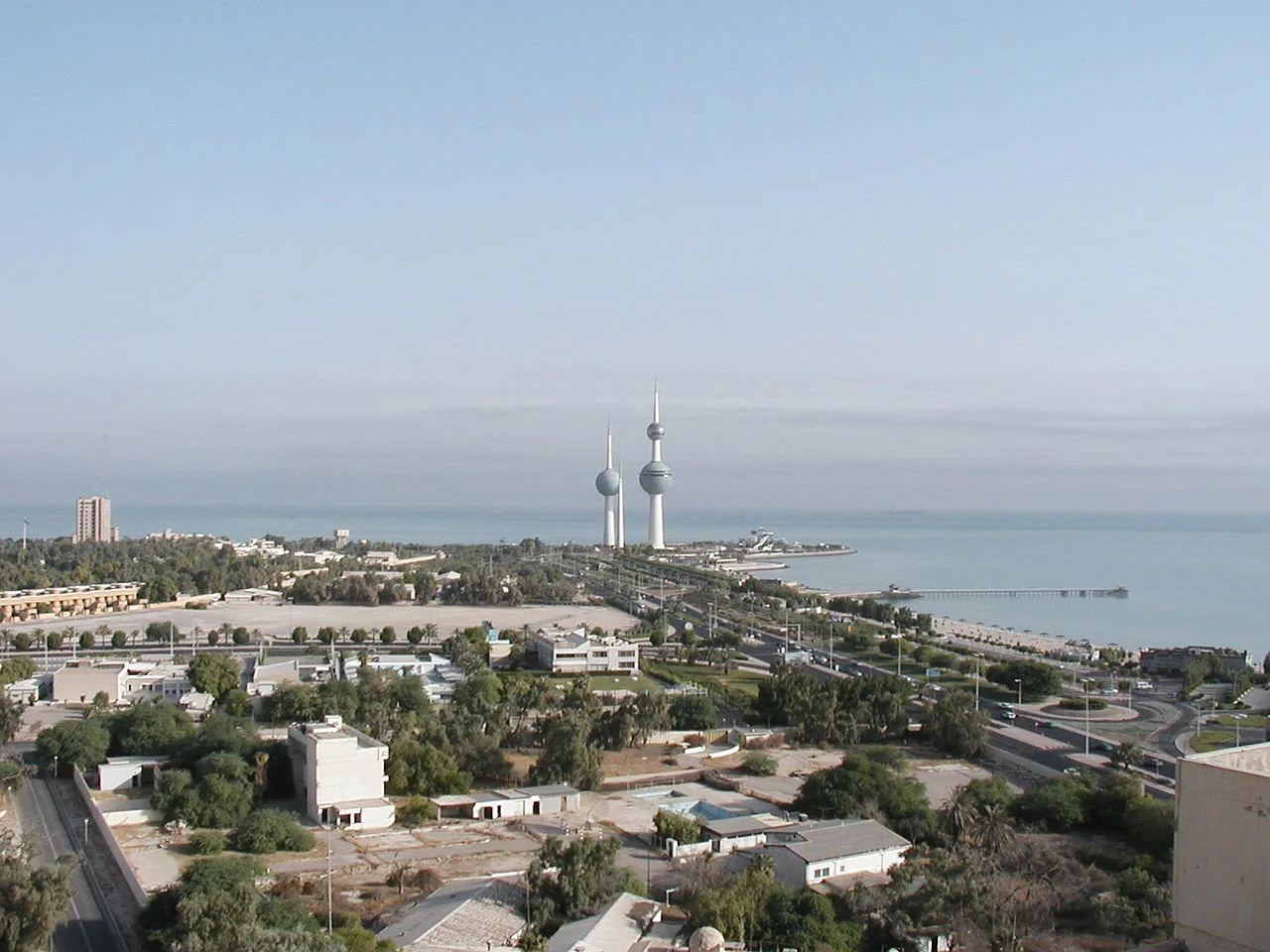
- Location: Kuwait
- Nearby: Bubiyan Island (8 km)
Best time to visit & climate
The most pleasant time to visit is Mar, Apr, Nov.
| Jan | Feb | Mar | Apr | May | Jun | Jul | Aug | Sep | Oct | Nov | Dec | |
|---|---|---|---|---|---|---|---|---|---|---|---|---|
| Avg °C | 14 | 16 | 20 | 25 | 31 | 35 | 37 | 37 | 34 | 29 | 22 | 16 |
| Rain mm | 21 | 10 | 7 | 10 | 2 | 2 | 1 | 1 | 0 | 3 | 15 | 17 |
📋 Practical info
Geography
Facts
- Area: 890 km²
- Length: 40 km
- Width: 24 km
- Highest point: 5 m above sea level
- Bird species: 150 breeding bird species
- Population: under 100
Explore nearby
Notable places around
Route planner — Car & Motorhome
Where do you start? We build the route here, with stops and country notes along the way.
© OpenStreetMap contributors · OpenRouteService
Sights nearby
Frequently asked questions
Can tourists visit Bubiyan Island?
Is there a bridge to the island?
What animals can be observed there?
Are there hotels on Bubiyan?
What is unique about the island?
Bubiyan Island: where is it located?
Bubiyan Island: when is the best time to visit?
Bubiyan Island: why is it worth visiting?

History & landmarks


Nature
More places