Plizio Visual Lab
Kyzylkum Desert
Weather…
Water temperature…
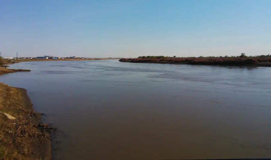
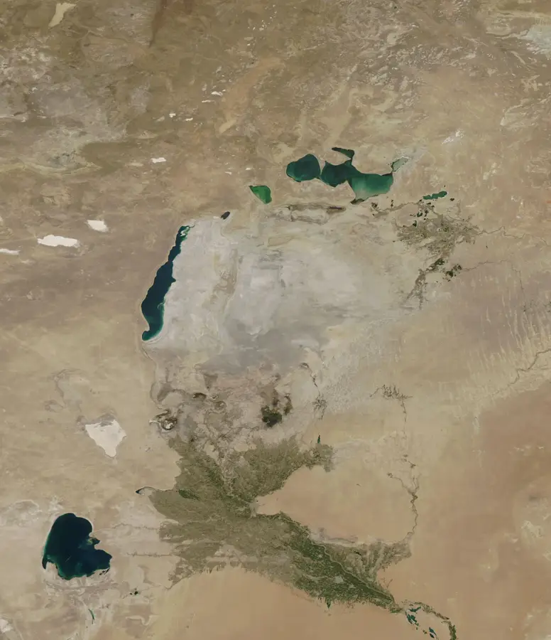
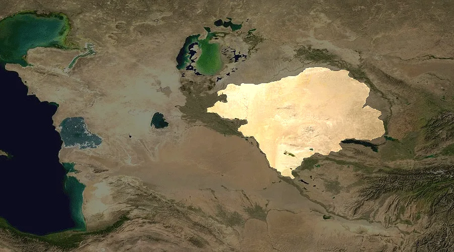
The Kyzylkum Desert, covering an area of approximately 300,000 square kilometers, is the 11th largest desert in the world and spans across Uzbekistan, Kazakhstan, and Turkmenistan. Its name means 'Red Sand,' referring to the reddish tint of its vast dune landscapes. Geographically situated between the Amu Darya and Syr Darya rivers, it is characterized by a mix of sand dunes (barchans), gravelly plains, and isolated mountain ranges like Sultan-Uvays-Dagh. Despite extreme aridity, the desert hosts a surprising variety of flora and fauna, including monitor lizards, goitered gazelles, and the rare desert courser. In recent decades, the region has gained global attention due to significant gold deposits at Muruntau and Cretaceous period fossil finds. The Kyzylkum plays a central role in Uzbekistan's climate and economy, though it also presents an ecological challenge due to ongoing desertification.
📋 Practical info
Geography
Facts
- The Muruntau gold mine in the Kyzylkum is one of the largest open-pit mines in the world.
- Temperatures fluctuate between -25°C in winter and over +50°C in summer.
- Fossil finds in the desert are among the most important records of the Late Cretaceous.
- Annual precipitation is less than 100 millimeters in many parts of the desert.
- The desert is home to the goitered gazelle, whose population is strictly protected.
- Irrigated agriculture has been practiced in the Kyzylkum oases for thousands of years.
Route planner — Car & Motorhome
Where do you start? We build the route here, with stops and country notes along the way.
© OpenStreetMap contributors · OpenRouteService
Sights nearby
Frequently asked questions
When is the best time to visit the Kyzylkum Desert?
Is the Kyzylkum Desert developed for tourism?
What modes of transport are suitable there?
Are there accommodation options in the desert?
What should be considered regarding equipment?
Kyzylkum Desert: where is it located?
Kyzylkum Desert: why is it worth visiting?